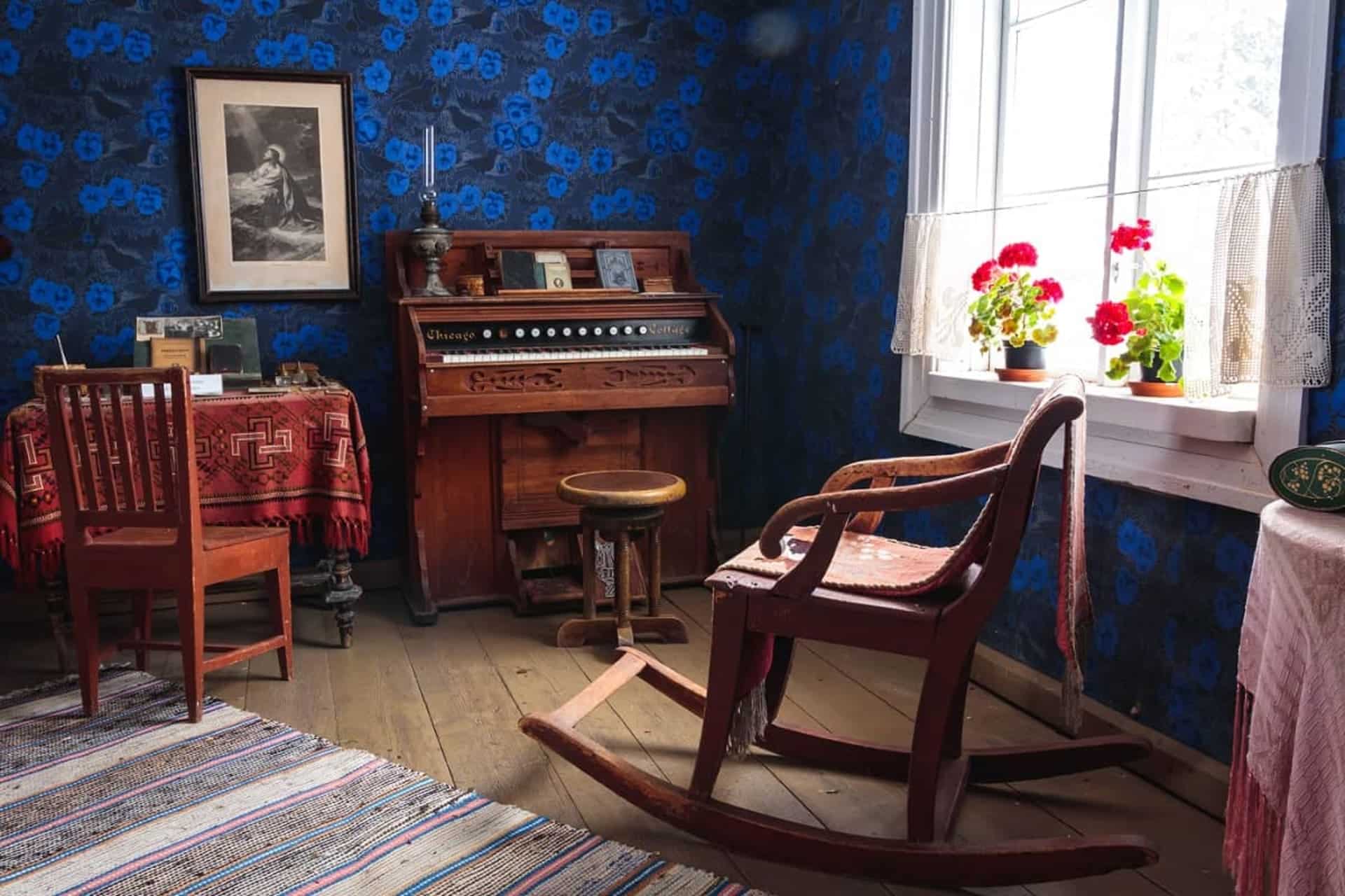
 Häme
HämeHäme Lynx Trail 250 km
Forssan kantatie 2070, Hämeenlinna
Hämeenlinna
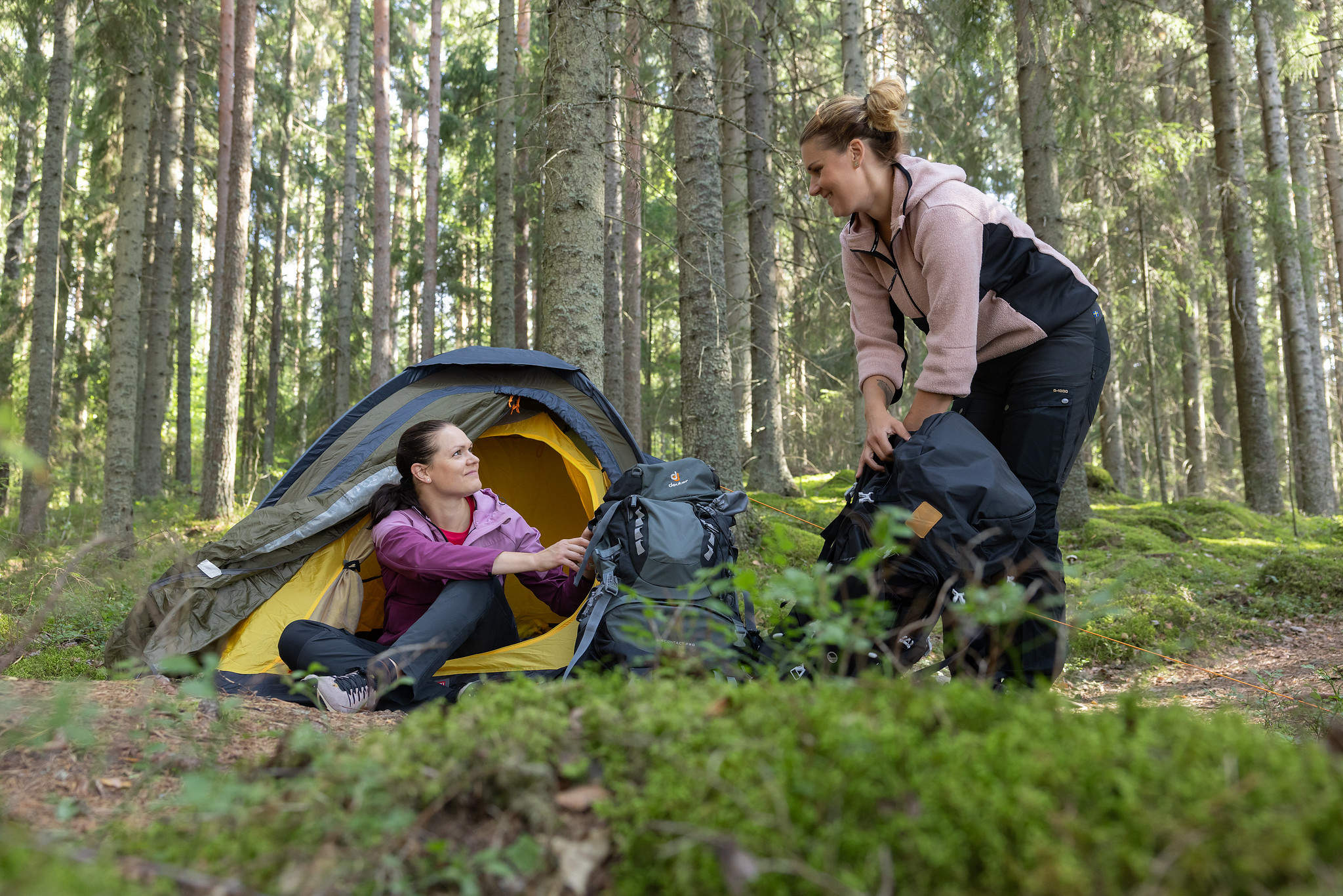
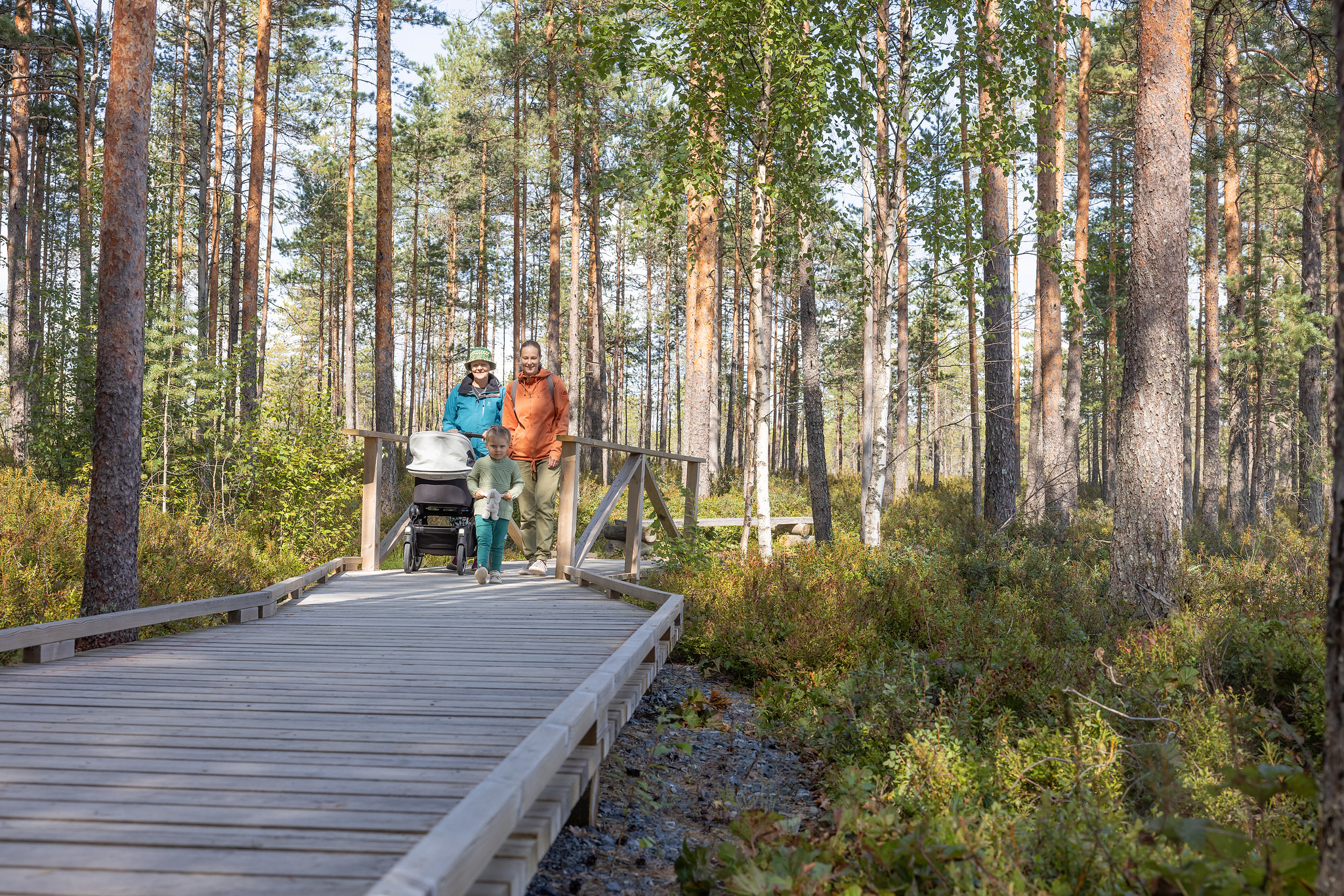
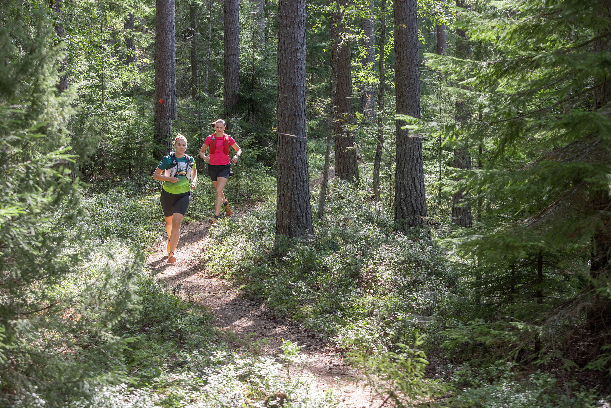
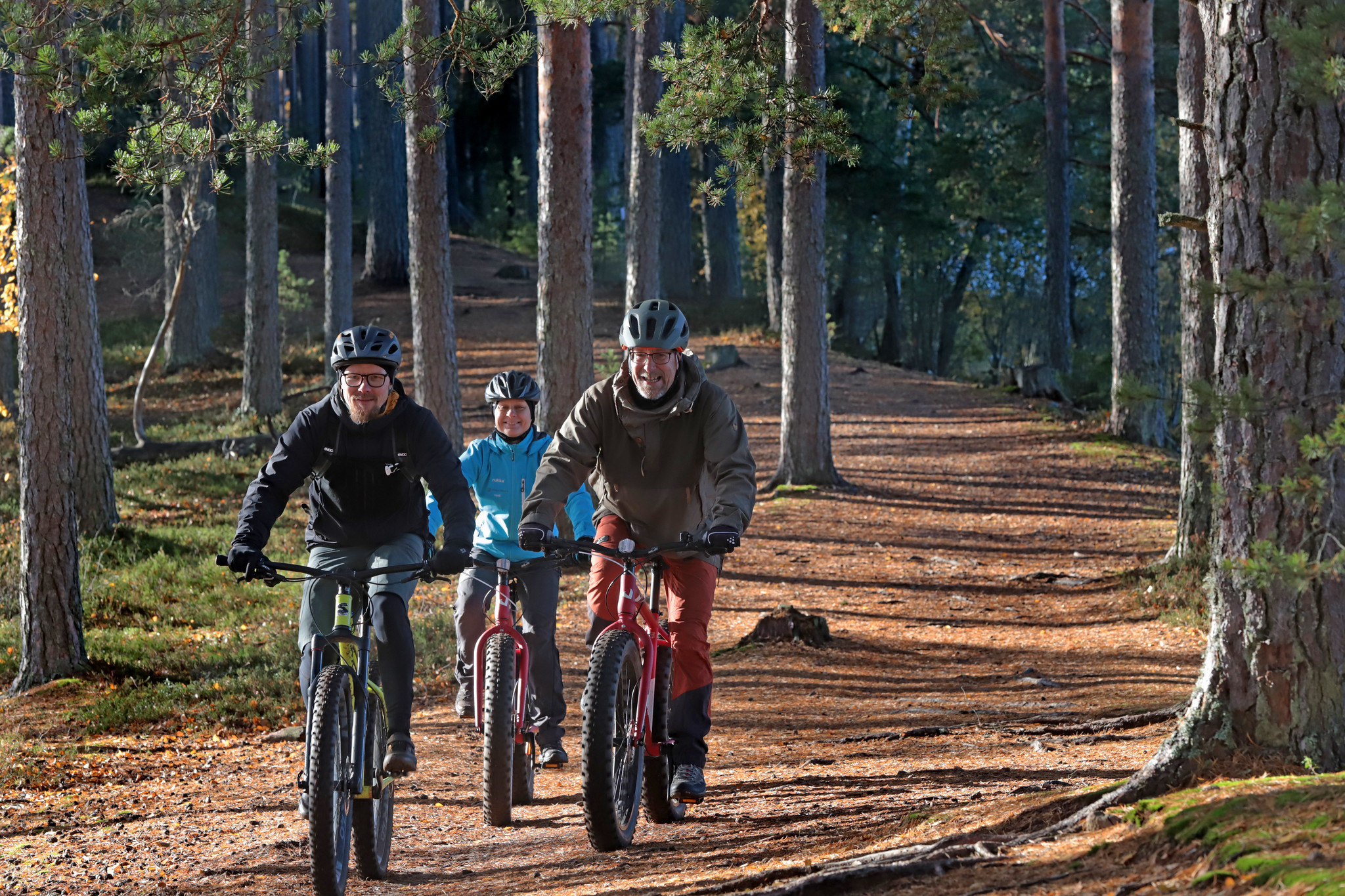
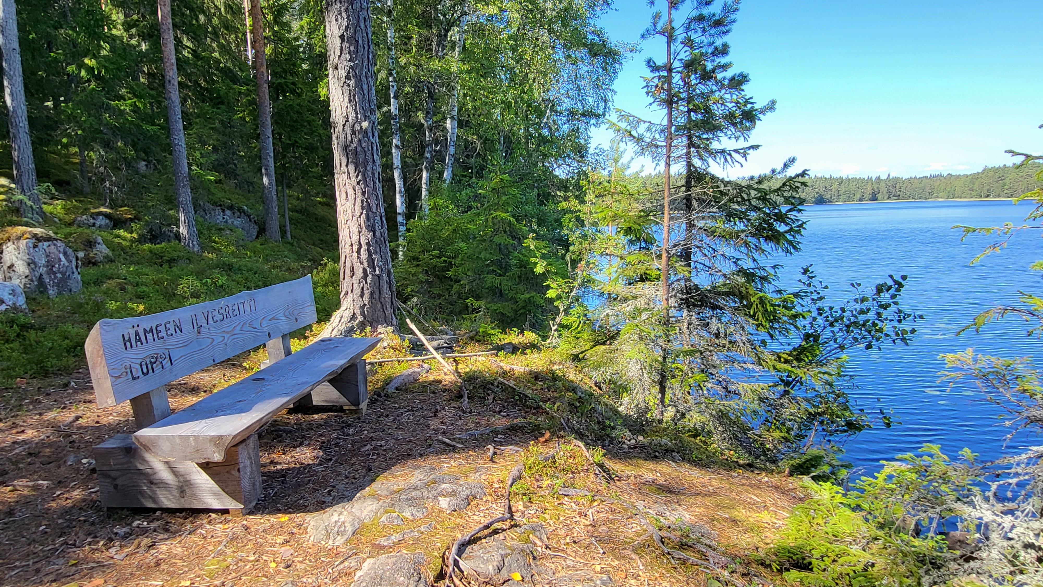
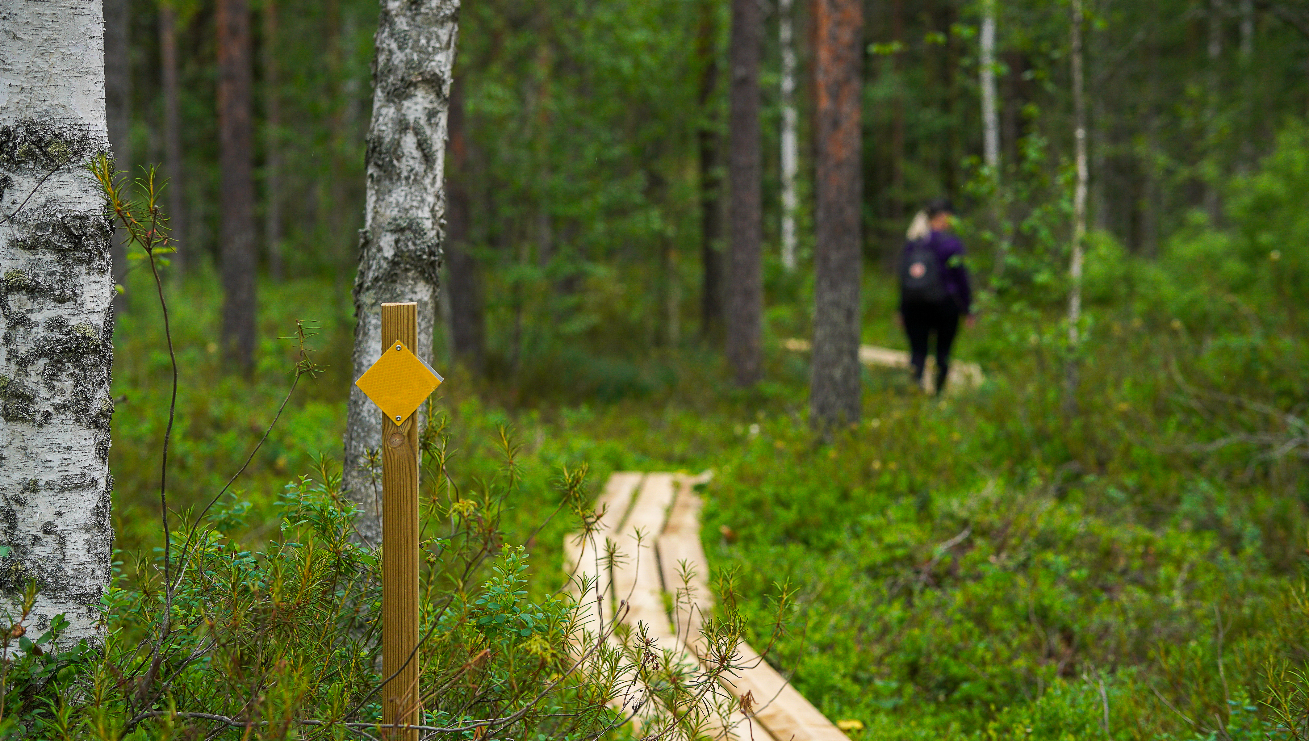
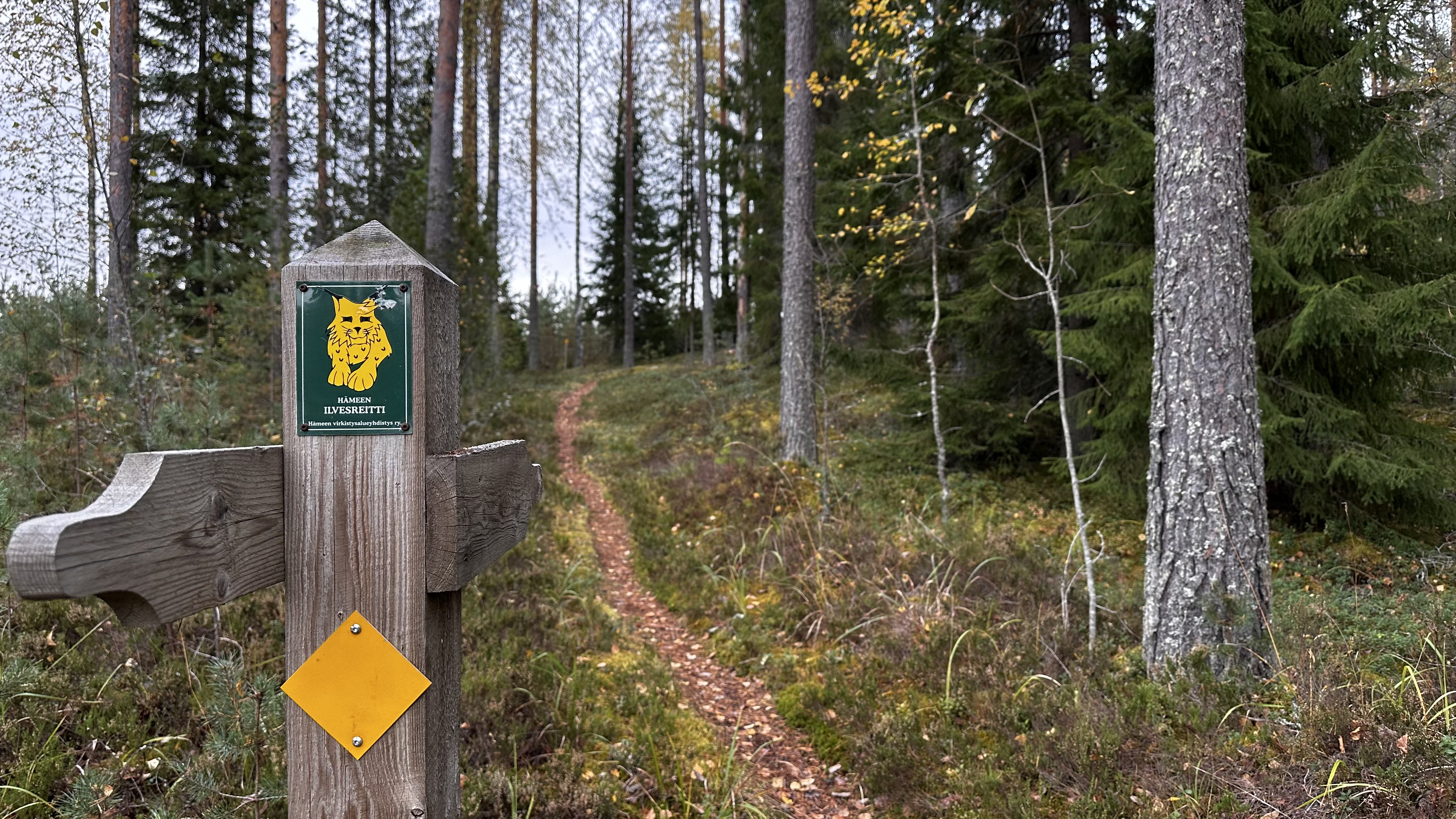
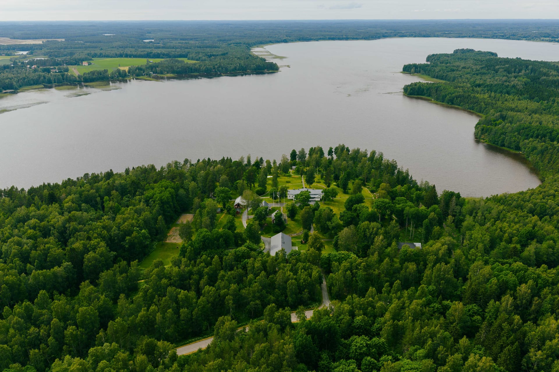
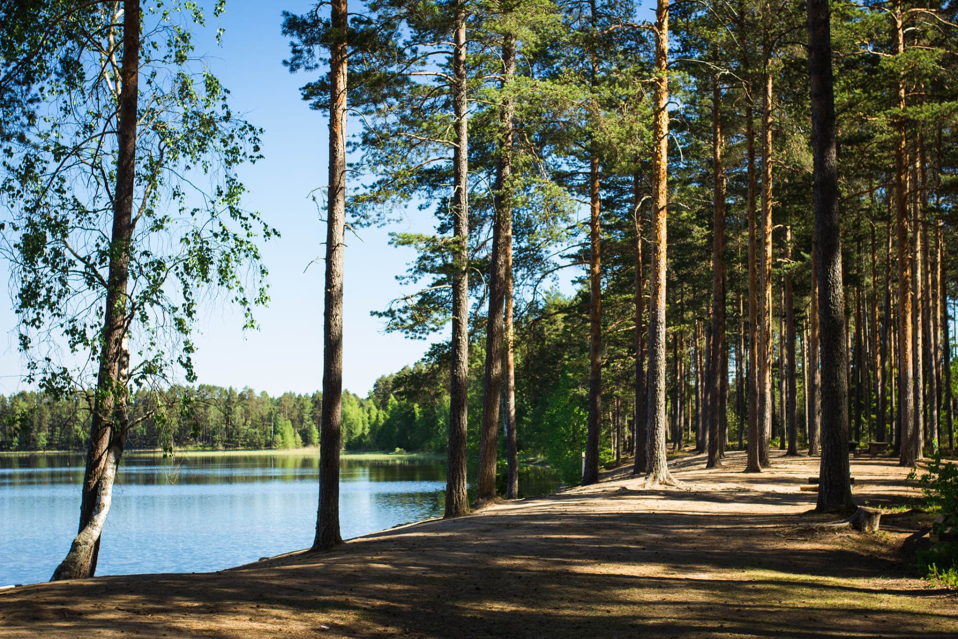
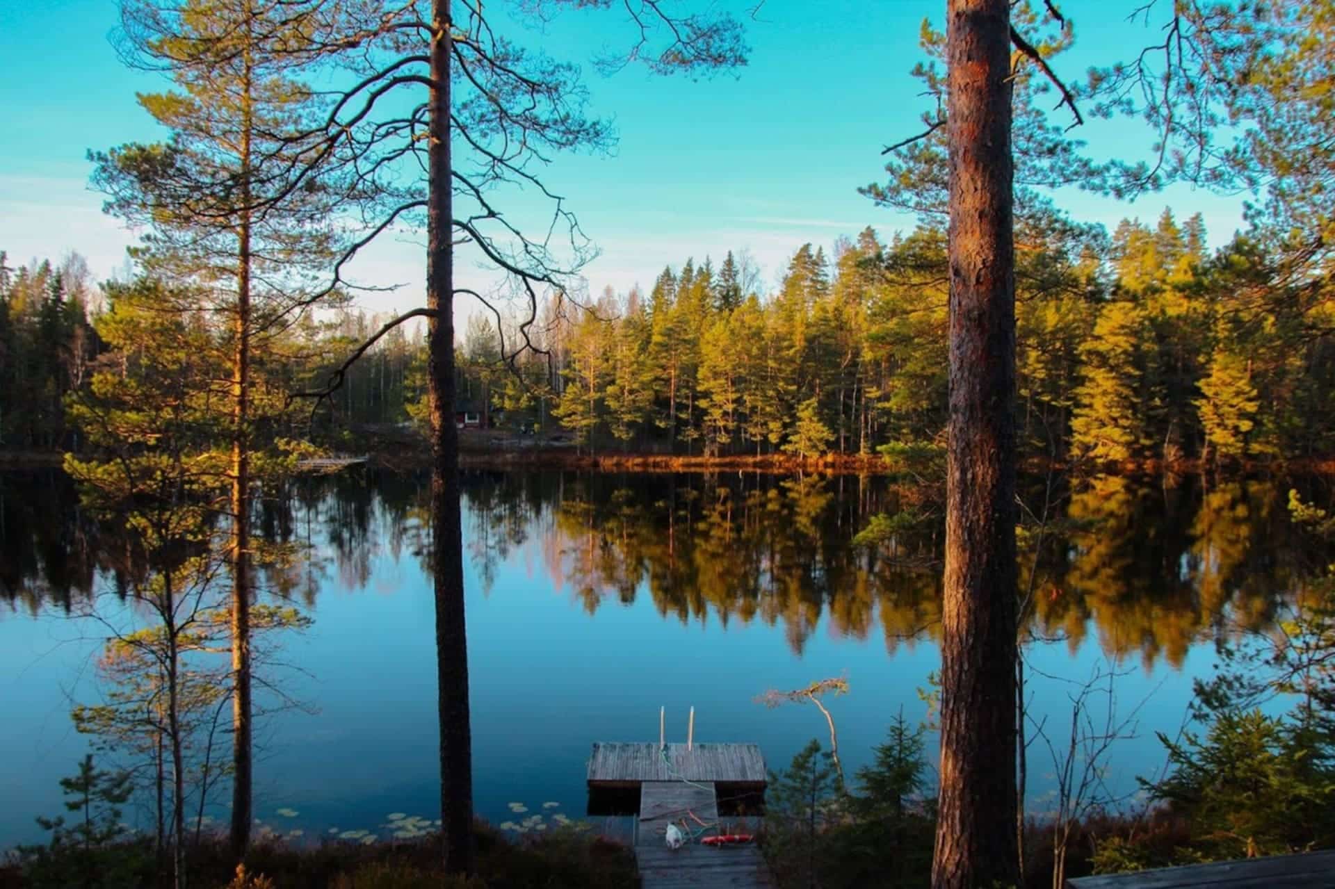
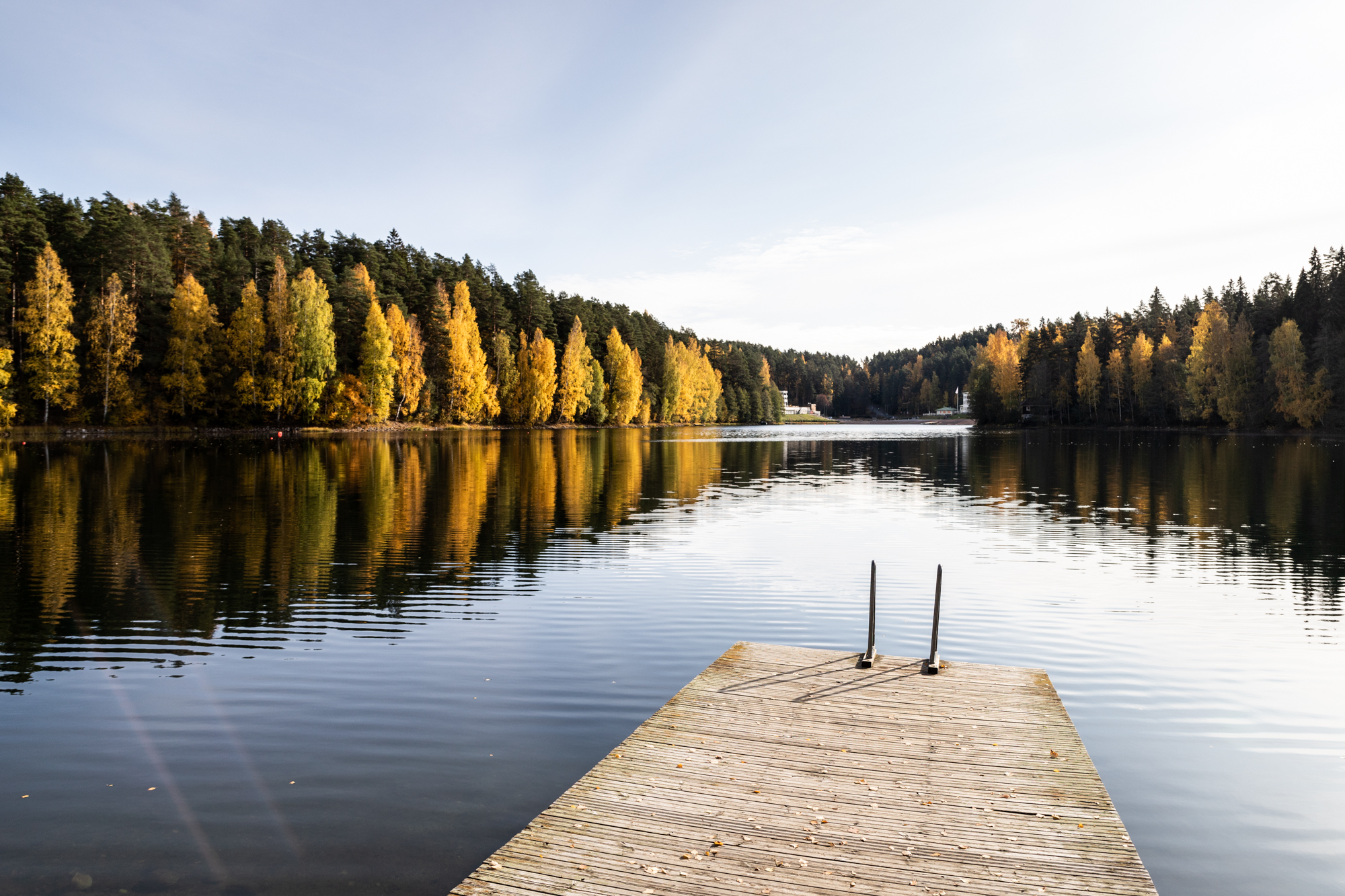
The Häme Lynx Route is a summer hiking trail in the heart of southern Finland. The route passes through forests, lakes and rural landscapes. It connects the most beautiful natural sites in the Häme Lake Uplands with each other and with the settlements in the area.
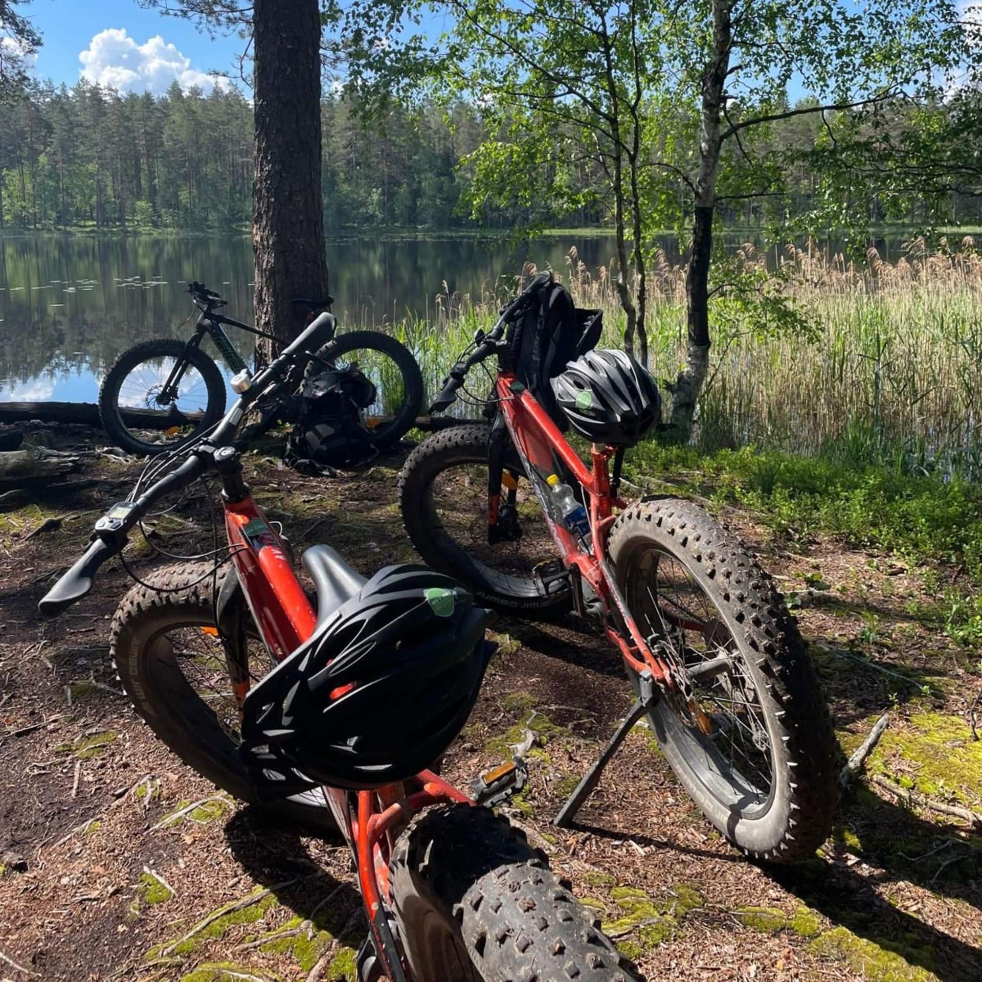
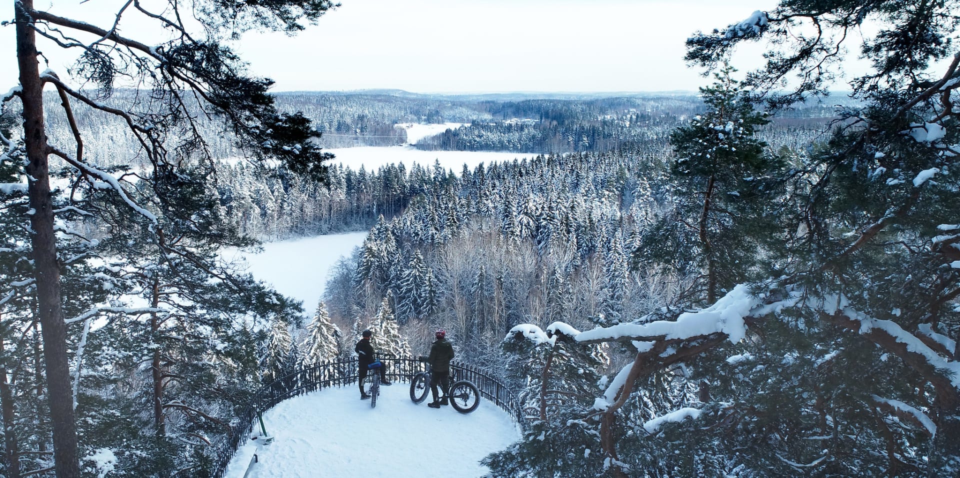
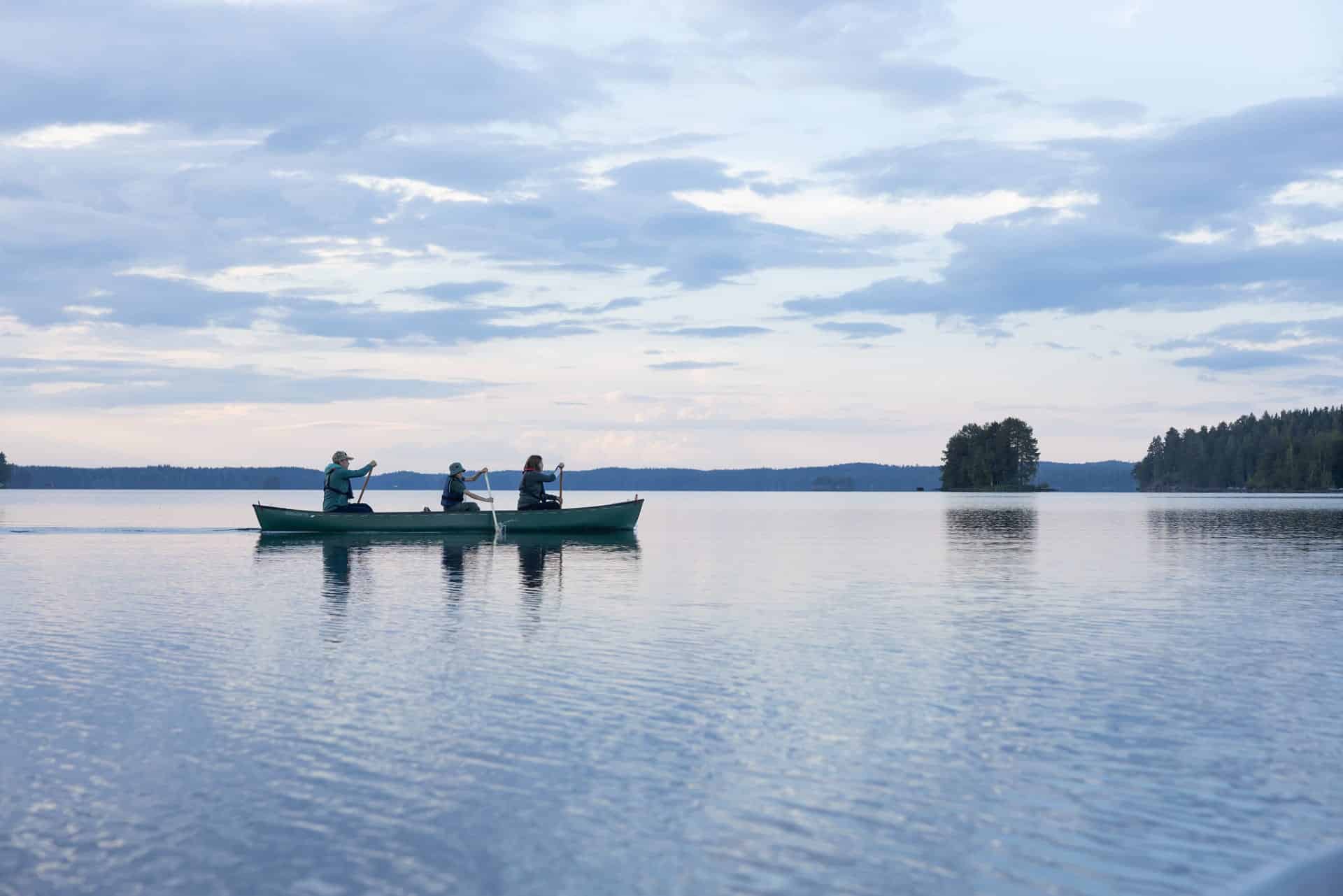
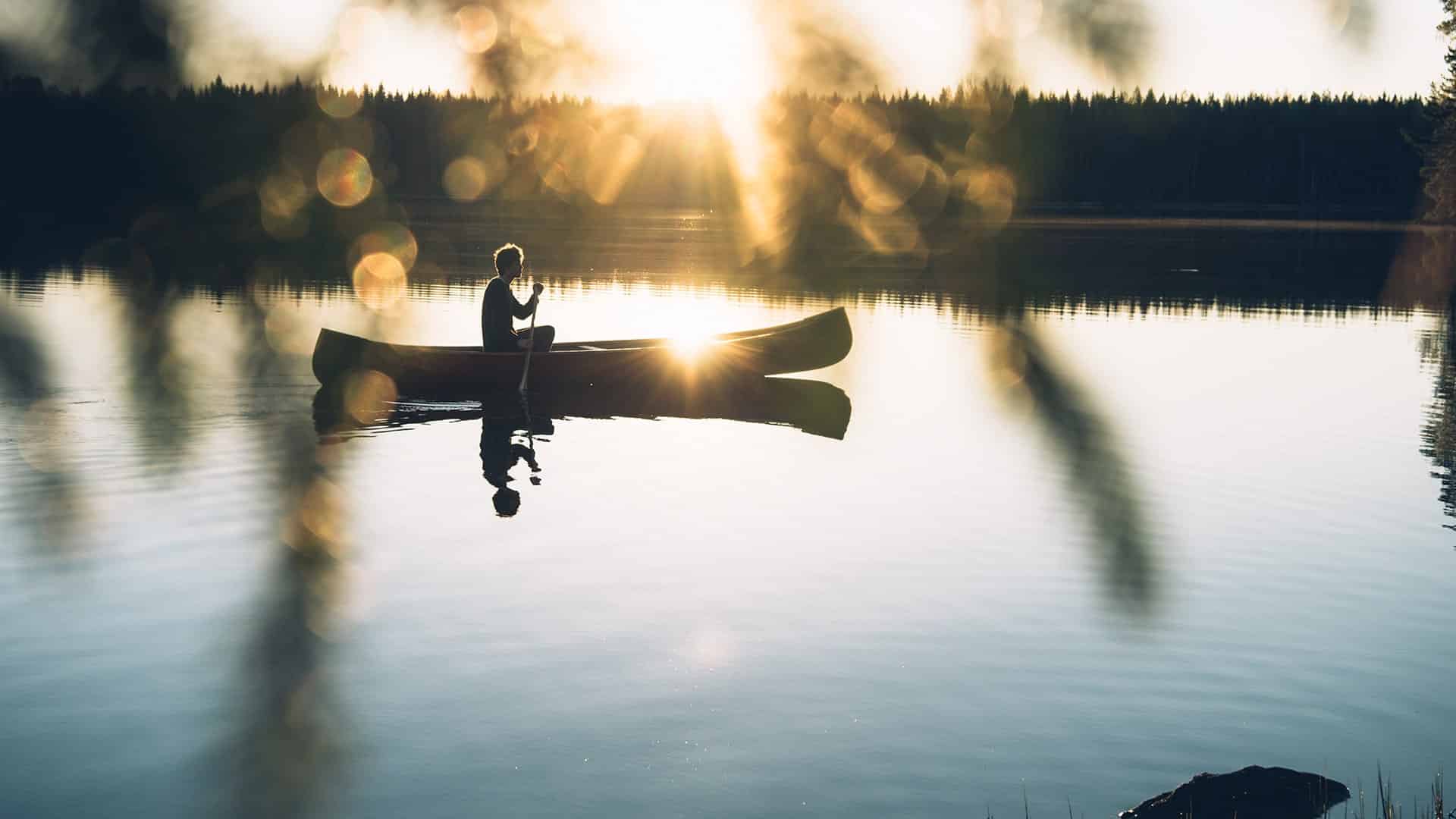
On the Häme Lynx Trail, you can enjoy day trips, long hikes, or mountain biking – with a total distance of up to 270 kilometres! The route is also ideal for trail running. Along the long route, there are short day hikes and circular routes suitable for the whole family.
Description
Trail Descriptions:
Riihimäki Riutta – Loppi Hirvijärvi (12 km)
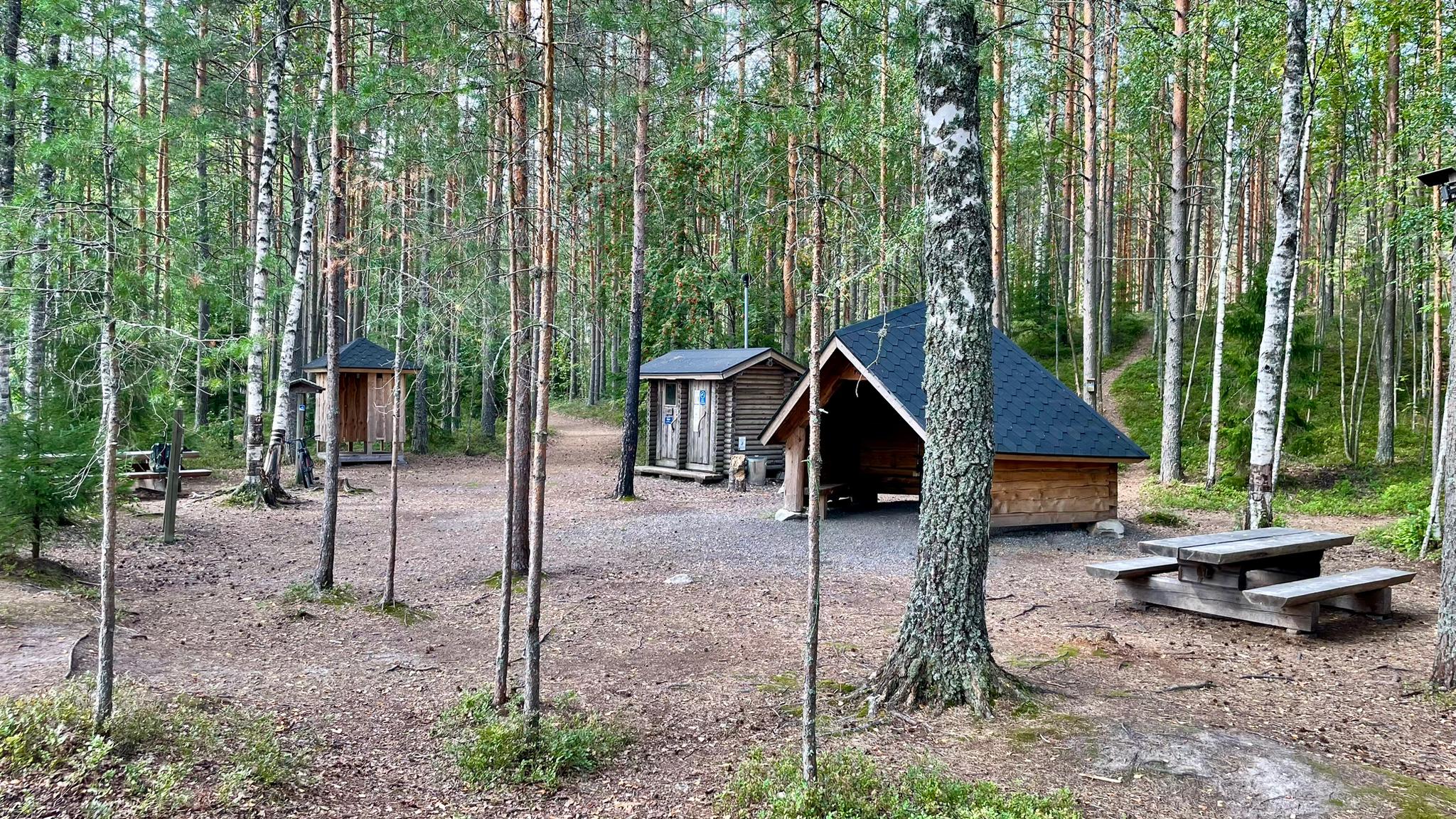
The trail starts at the Riutta sports park in Riihimäki and passes through diverse terrain, including forest paths, forest roads, and roadside stretches. The landscape mainly consists of dense forests, with rocky sections and steep parts. Motorcycle tracks can be found on the Riihimäki side, and some paths may become grassy in summer. There is a connection to Paalijärvi beach, which features parking, a campfire site, and a toilet.
Hirvijärvi – Loppi (11 km)
This section follows forest roads, paths, and walkways. The terrain includes beautiful coniferous forests and is well-marked. The Loppi urban area offers a grocery shop and restaurants.
Loppi – Kalamaja (13 km)
The route primarily consists of forest paths, although some sections are overgrown and challenging. A map app is recommended. In the Komio Nature Reserve, the Samo and Pikku-Samo trails are easy to navigate. The Kalamaja rest area includes parking and a lean-to shelter.
Sähkönokka – Räyskälä – Iso-Melkutin (6 km) and connection to Poronpolku (3 km)
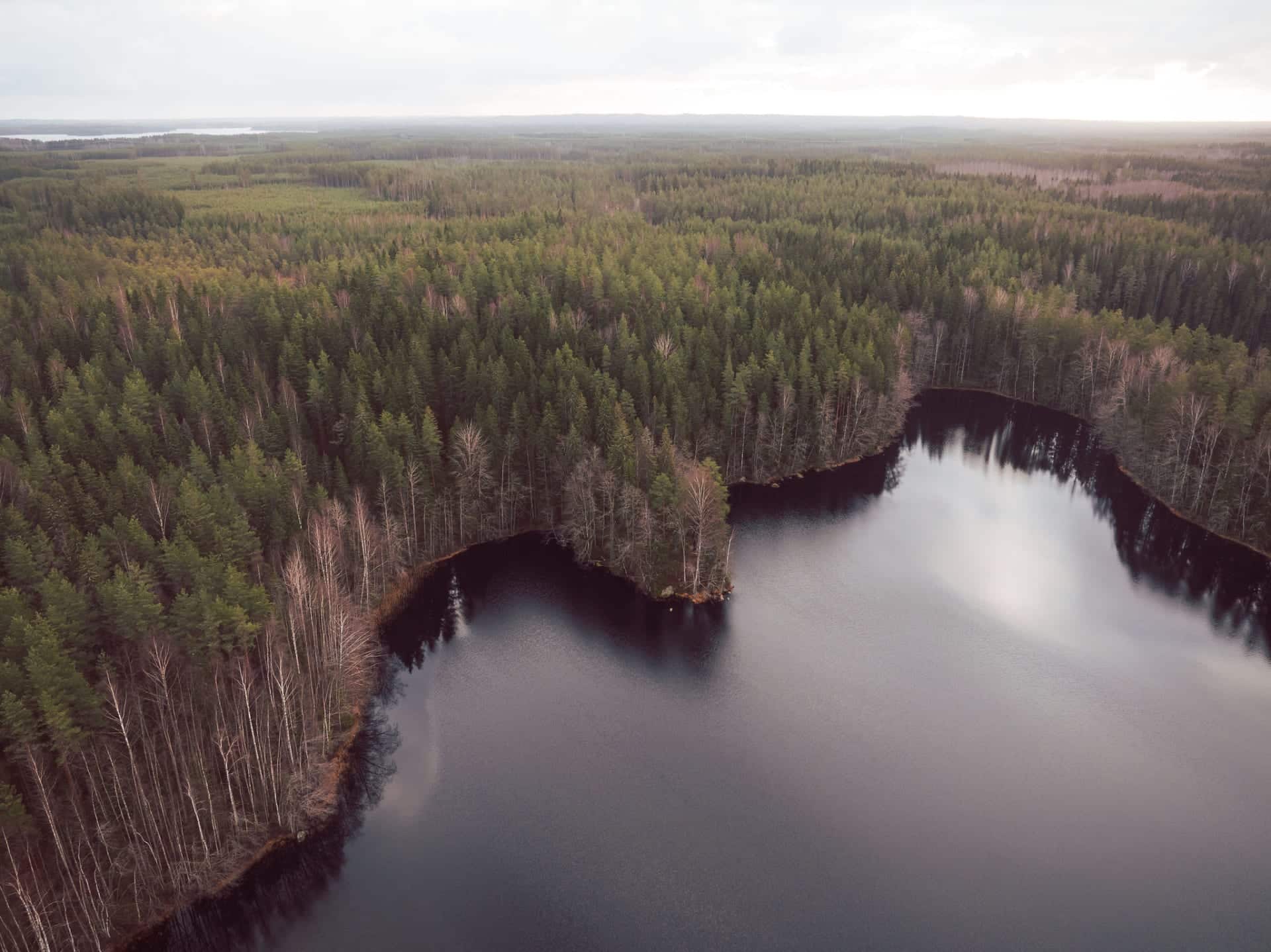
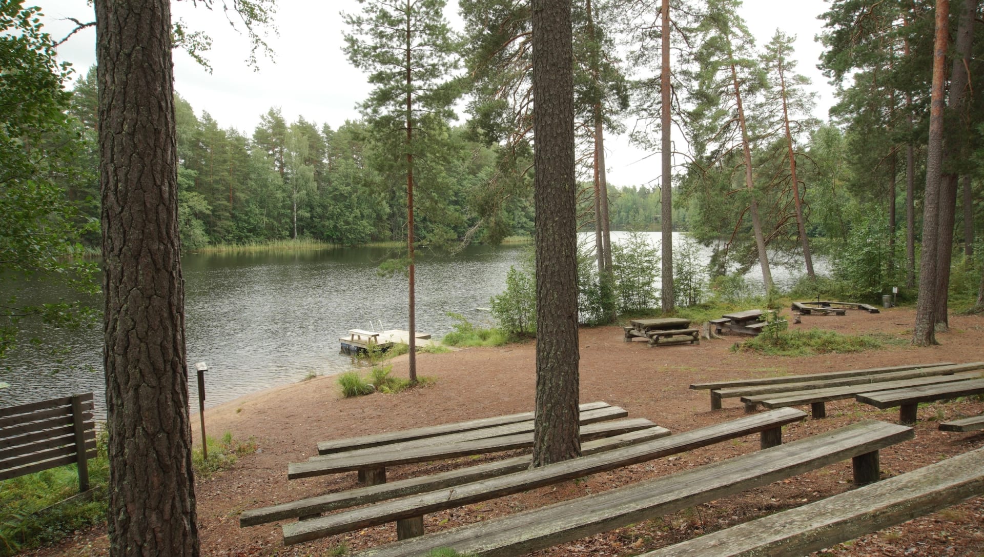
Starting from the Sähkönokka beach, the route passes through the Räyskälä Aviation Centre. The paths are well-maintained and clearly marked. This section connects eastward to Poronpolku, including Pirunkallio and Rautakoskentie. The area is excellent for mountain biking. Iso-Melkutin, a popular clearwater lake, has two lean-to shelters along its surrounding ridge trail. The lake offers activities for both hikers and divers.
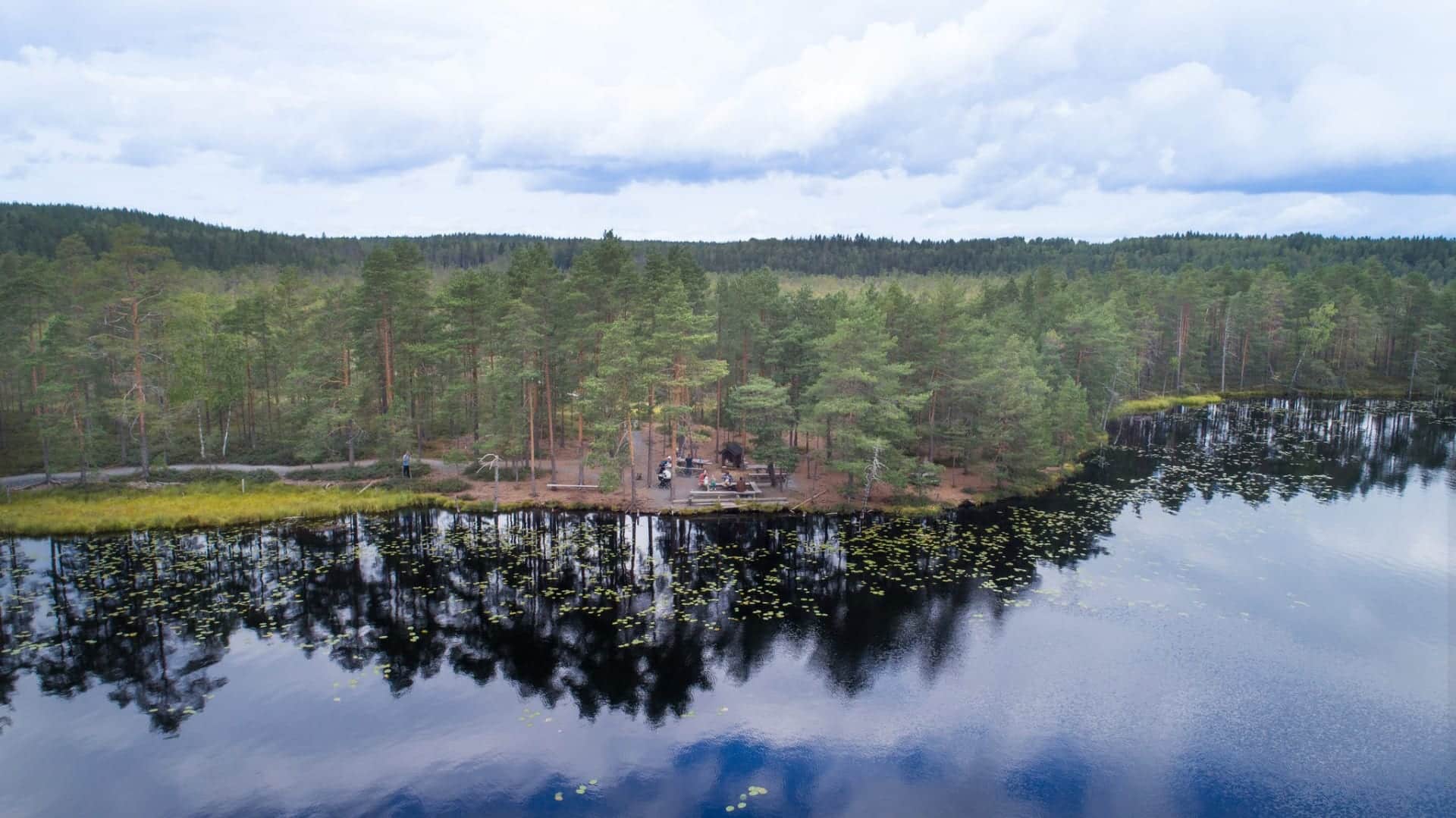
Iso-Melkutin – Liesjärvi National Park (20 km)
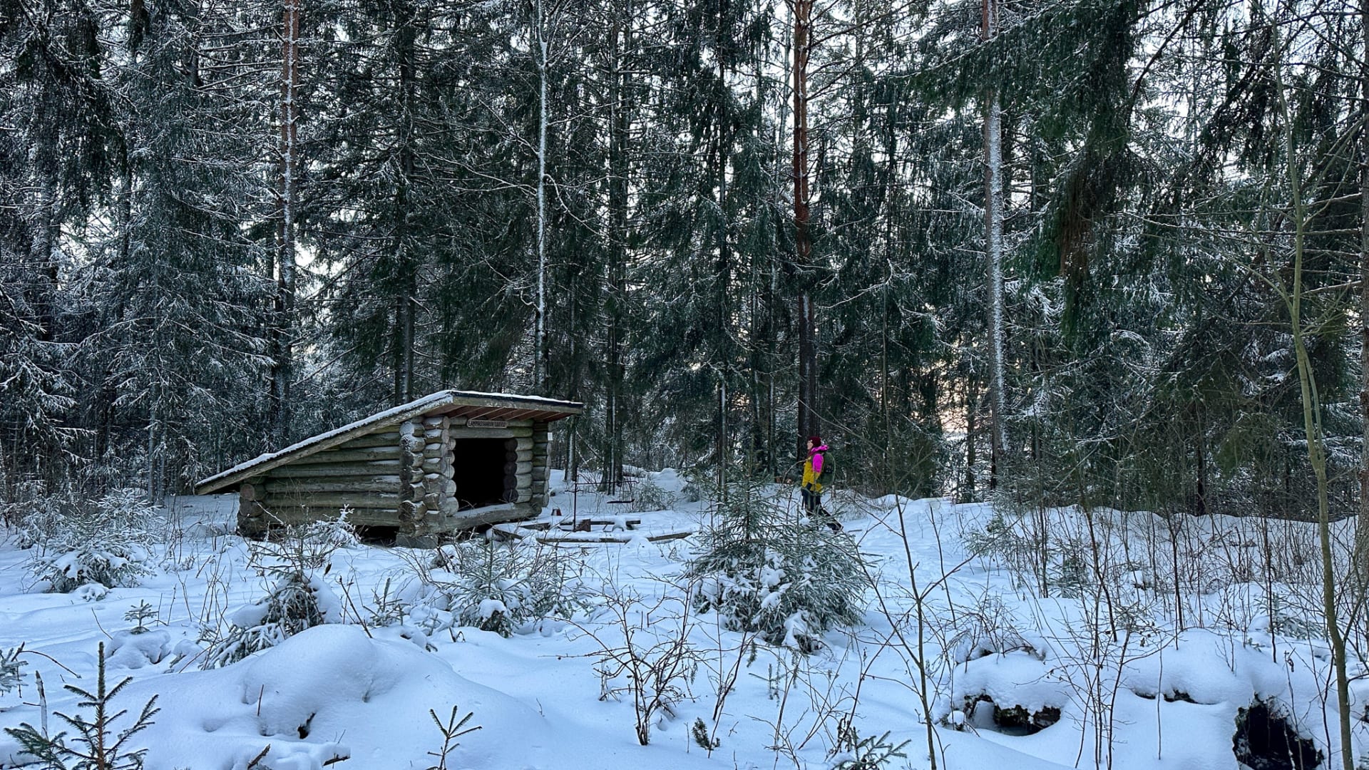
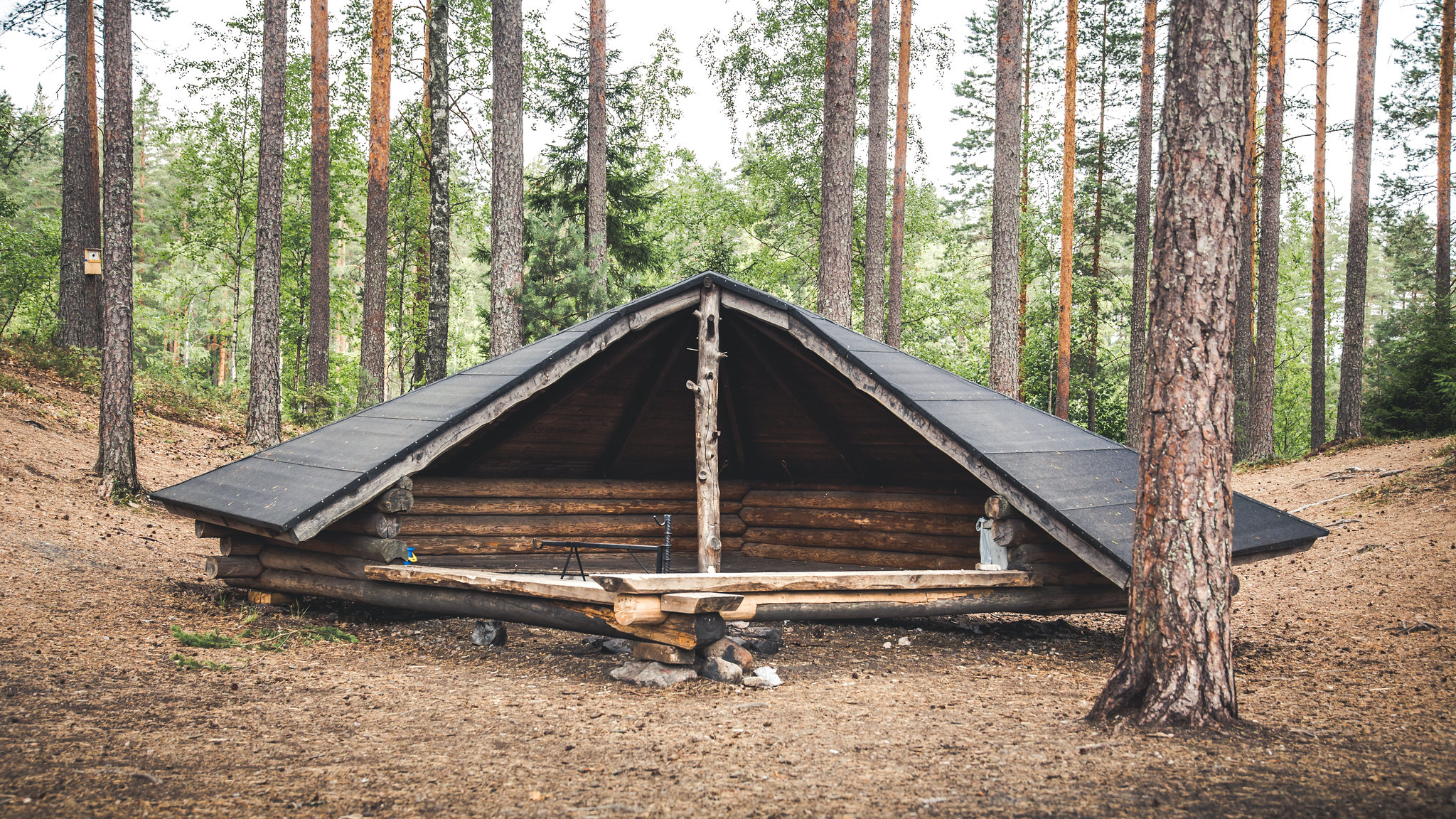
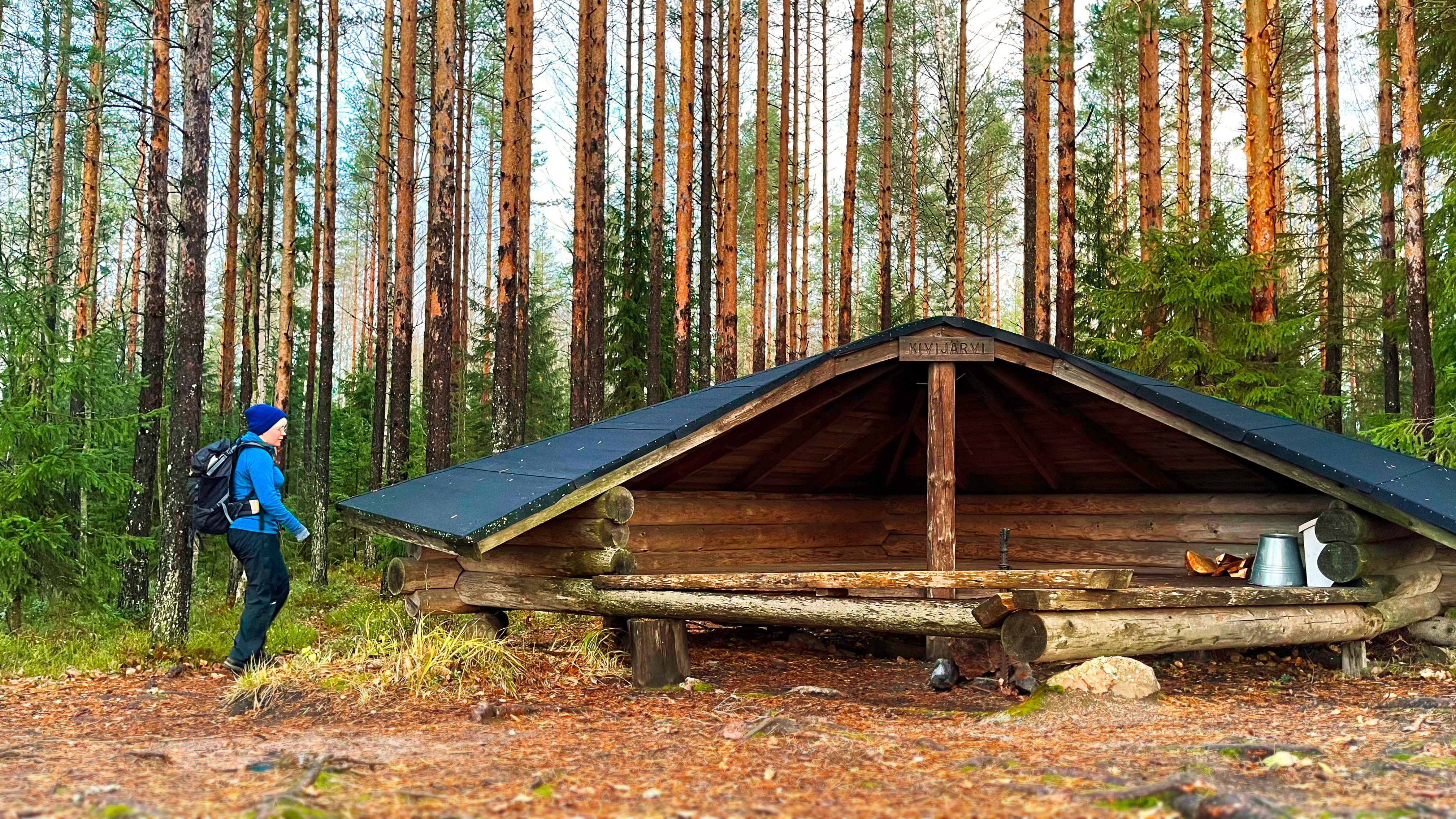
The trail meanders through forests and ridges, leading to Liesjärvi National Park with its beautiful spruce forests. Lean-tos in Kivijärvi and the National Park provide good resting opportunities.
Kivijärvi Loop (26 km)
This long circular trail with two rest stops allows for peaceful hiking amidst forest-surrounded lake landscapes.
Liesjärvi National Park – Ruostejärvi (30 km)
This connecting route crosses the Kyynäränharju ridge, which links the northern and southern parts of the national park. The ridge offers stunning views surrounded by lakes. The Ruostejärvi area features diverse trails and services. The Eerikkilä Sports & Outdoors Centre near the Ruostejärvi recreational area provides accommodation and dining options. The trail branches into three directions from Ruostejärvi.
Piippurinsuo Loop (6 km)
Located on the eastern edge of Torronsuo, this nearly 6-km circular route can be accessed from Ruostejärvi Nature Recreation Area.
Ruostejärvi – Saari Folk Park (15 km)
An easy path passes the Eerikkilä Sports & Outdoors Centre, leading through beautiful spruce forests, wetlands, and rural landscapes to Kaukolanharju. The trail is well-marked.
Räyskälä – Pääjärvi (10 km)
From Räyskälä, the trail continues to Pääjärvi, passing through lovely pine forests and ponds. The trail is well-maintained but can become grassy in summer. A stream crossing may require walking your bike over a bridge.
Pääjärvi Loop (8 km)
This circular route follows forest paths onto a narrow, lake-bordered ridge. It features some steep climbs and rocky sections. A shorter 4,5-km Kynnysniemi loop offers a lighter option. Both routes start from Pääjärvi parking area, which has a toilet and a campfire site.
Pääjärvi – Renko (23 km)
Best visited before midsummer or in late autumn, this trail can become grassy in summer due to infrequent use. It is clearly marked, and navigation with a map app is easy. Recommended starting points include Hämeen Härkätie information points like Lietsa, Pitkäjärvi, or Ruokojärvi.
Highlights
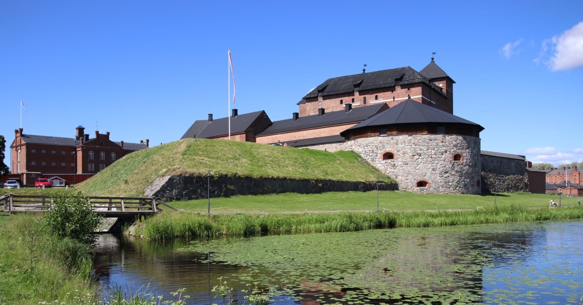
Tenhola Castle hill
Ahvenisto Nature Reserve and Hattelmala Ridge
Pääjärvi Nature Recreation Area
Komio Nature Reserve
Liesjärvi National Park
Torronsuo National Park
Information
Arrival
The trail has several starting points, with parking areas marked on the Luontoon.fi map. You can reach the trail by train from Hattula and Hämeenlinna. The easiest access by bus is from nearby urban areas.
Route duration
2 - 5 days
Route's length km
273.32
Free access

Nearby services
-
Appara Experience Centre
Appara Experience Centre is an activity and leisure destination...
Read more Appara Experience Centre -
 Tervetuloa pyöräilijä
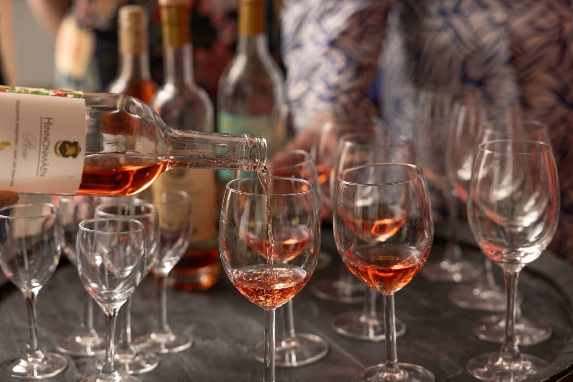
Lepaa Winery, Cafeteria and Shop
Lepaa Winery is an attractive visitor destination in the...
Read more Lepaa Winery, Cafeteria and Shop -
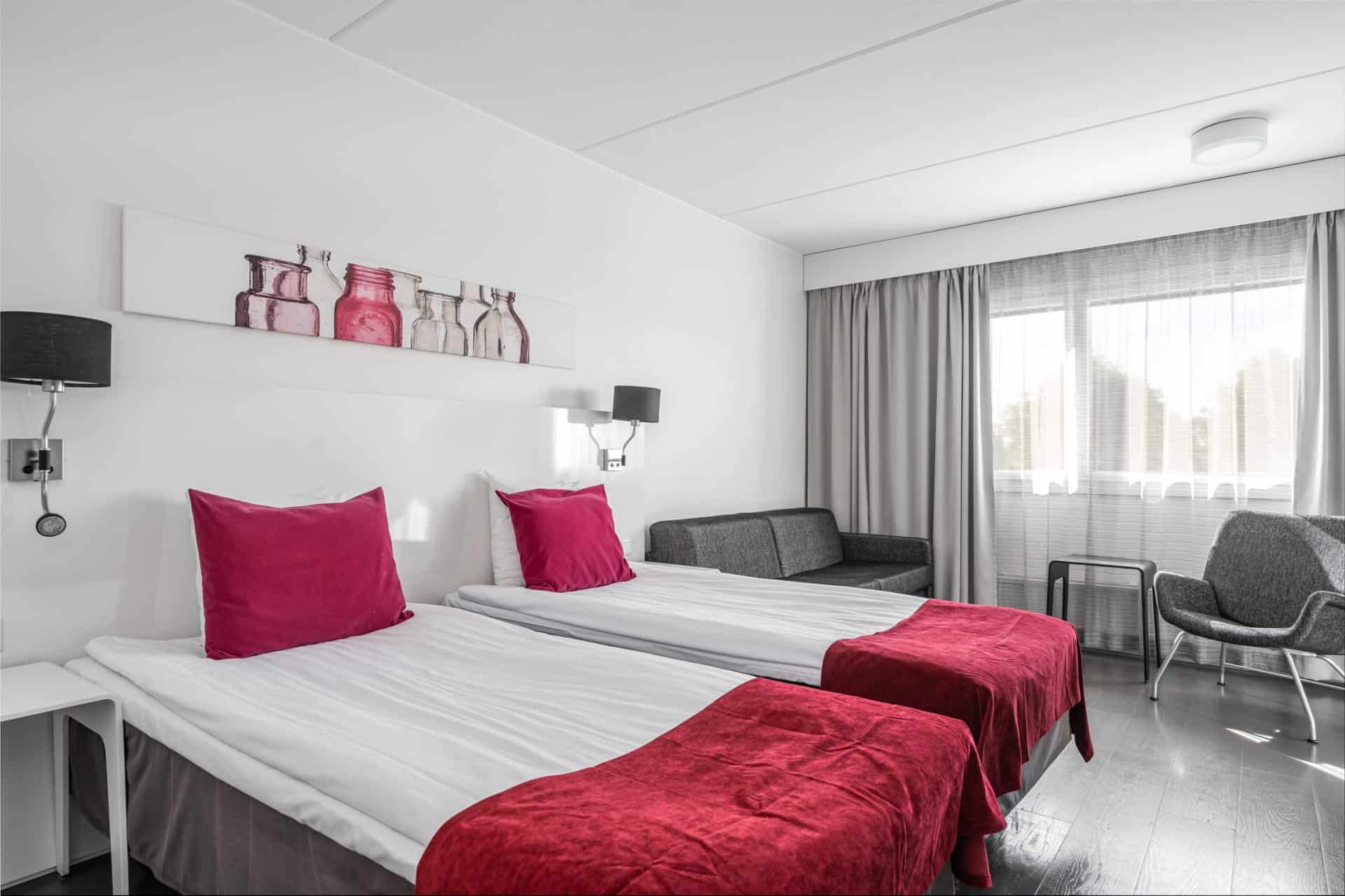
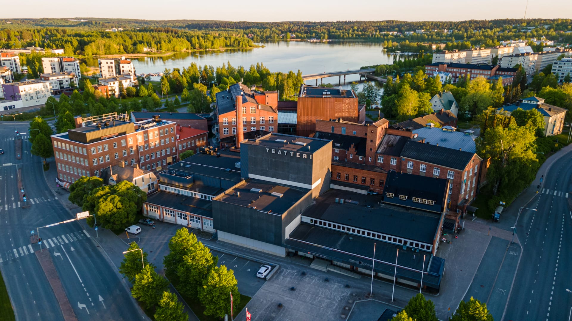
Teatterihotelli Riihimäki
Cozy hotel room in the center of Riihimäki in...
Read more Teatterihotelli Riihimäki -
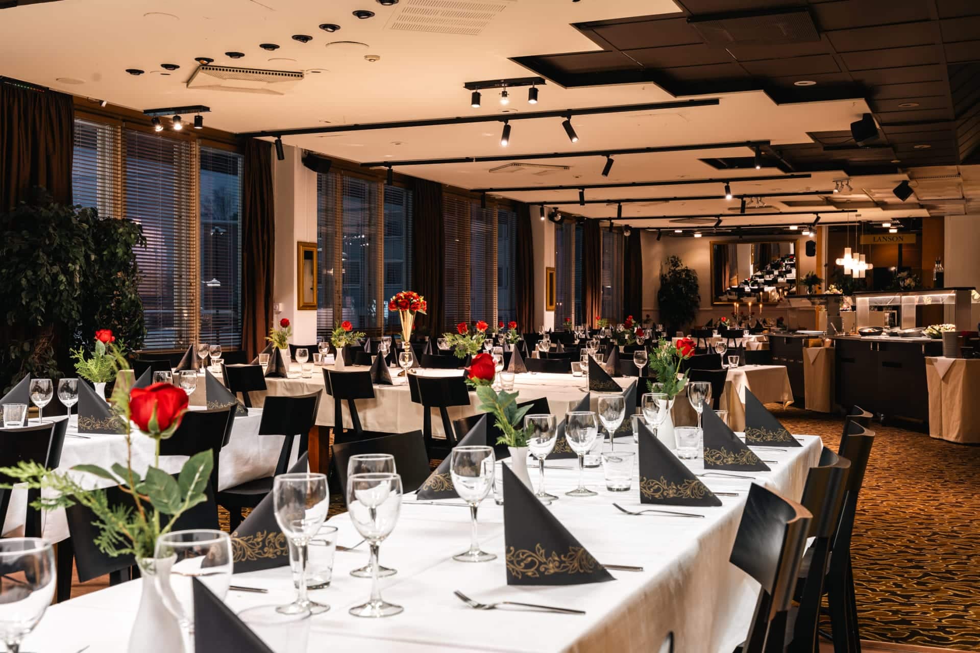
Teatterihotelli Restaurant in Riihimäki
A breakfast and lunch restaurant where you can enjoy...
Read more Teatterihotelli Restaurant in Riihimäki -
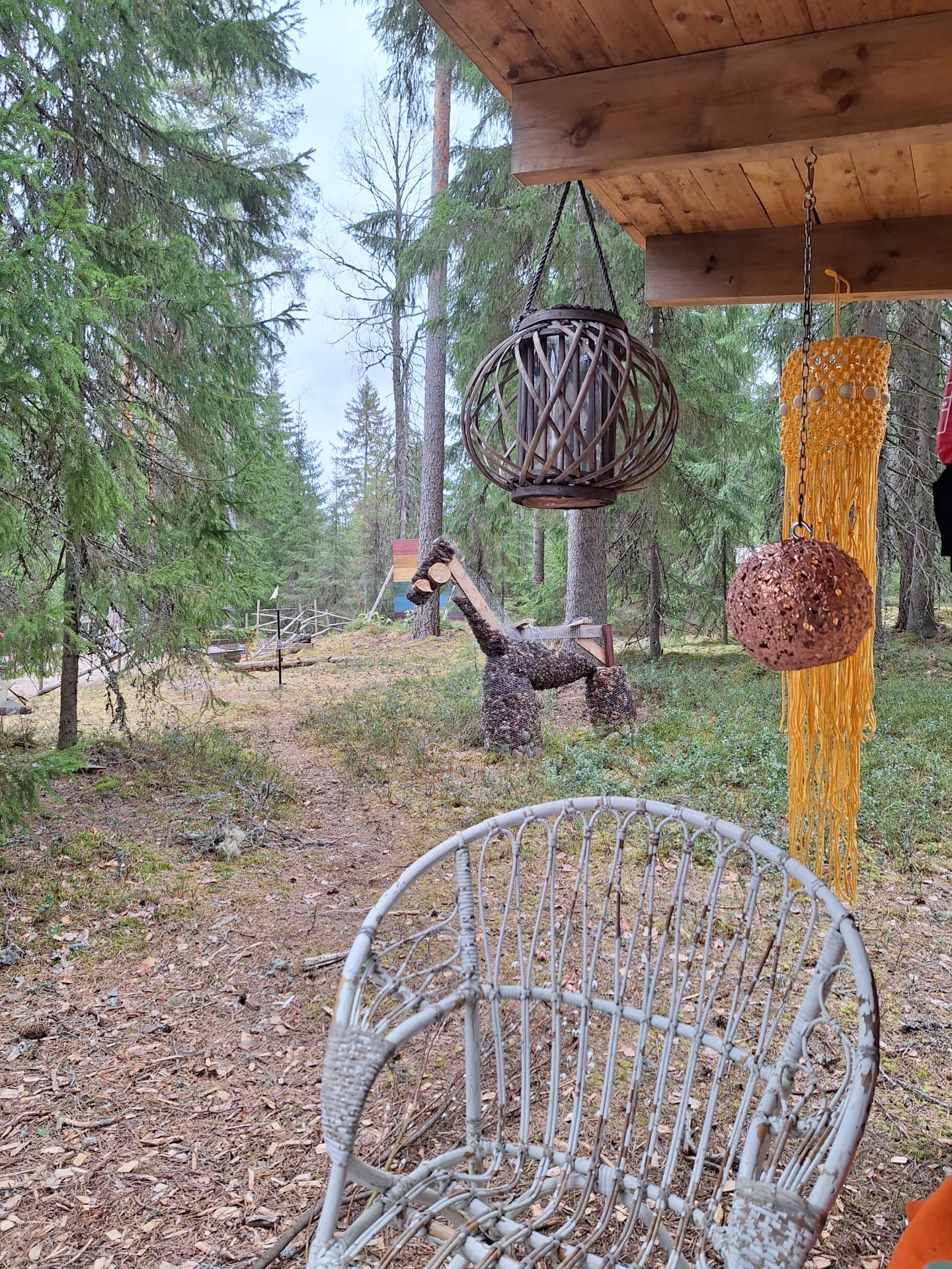
The Sheep Cafe – Pilpala, Loppi
The Sheep Café offers a unique opportunity to enjoy...
Read more The Sheep Cafe – Pilpala, Loppi -
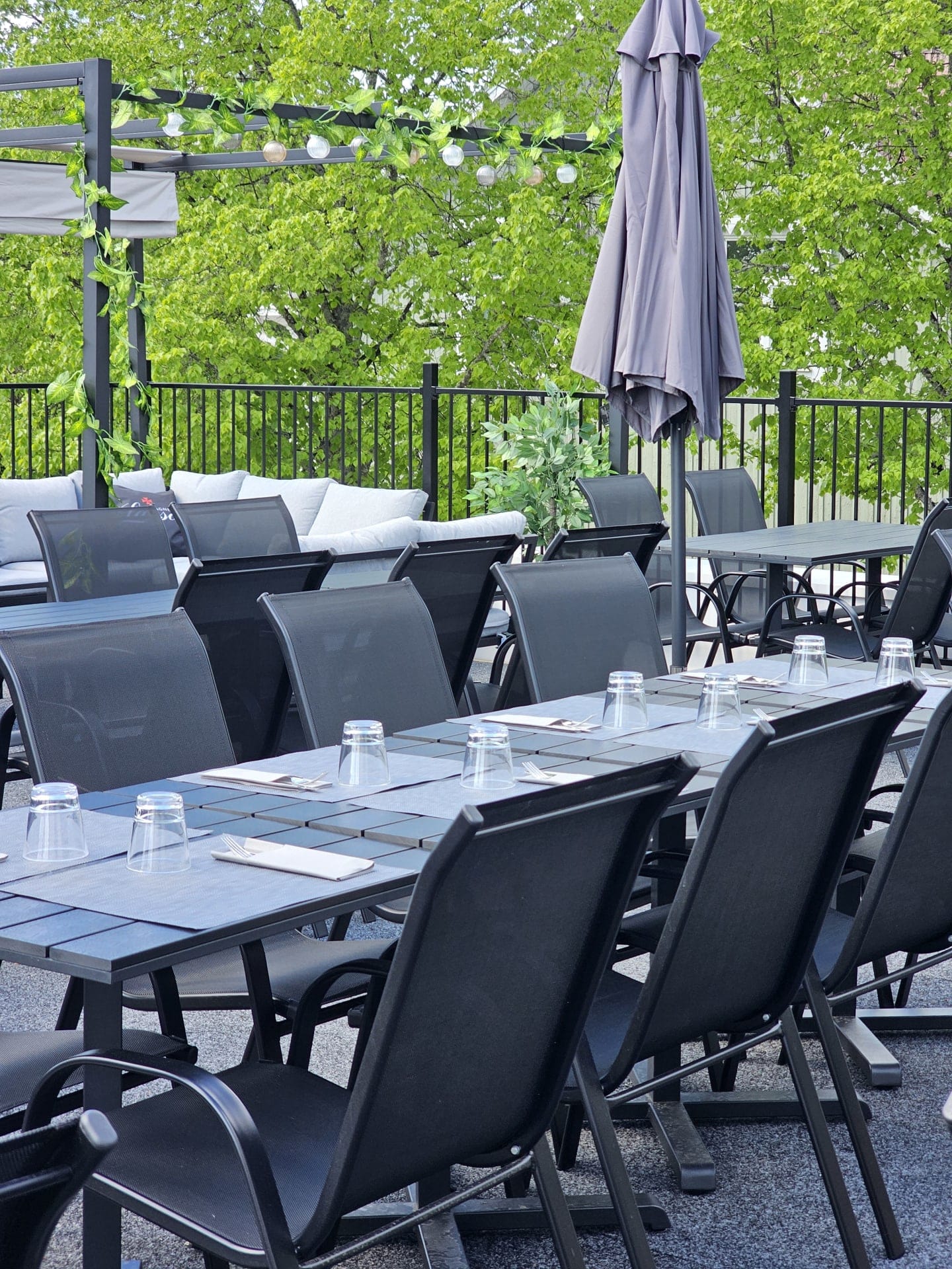
Sunny rooftop terrance and square terrace in the center of Riihimäki
Welcome to the sunniest terraces in the city of...
Read more Sunny rooftop terrance and square terrace in the center of Riihimäki -
Harviala Manor
Harviala Manor is located in Janakkala, Turenki. The unique...
Read more Harviala Manor -
Taika Camping
Idyllic Lakeside Camping in Finnish Woodland. Escape to nature...
Read more Taika Camping -
Cafe at Aulanko Nature park
Cafe at Aulanko nature sports centre is a warm...
Read more Cafe at Aulanko Nature park -
Nature360 Equipment Rental – Aulanko, Hämeenlinna
Nature 360’s equipment rental makes spending time in nature...
Read more Nature360 Equipment Rental – Aulanko, Hämeenlinna -
Winter Equipment Rental – Aulanko Nature Reserve, Hämeenlinna
Nature 360’s winter equipment rental makes enjoying winter nature...
Read more Winter Equipment Rental – Aulanko Nature Reserve, Hämeenlinna -
Kartano – The Terwa – Nordic Hideaway
The unique and historical The Terwa Manor offers accommodation...
Read more Kartano – The Terwa – Nordic Hideaway -
Keppana Kellari Restaurant
An oasis in the wilderness, a beer and food...
Read more Keppana Kellari Restaurant -
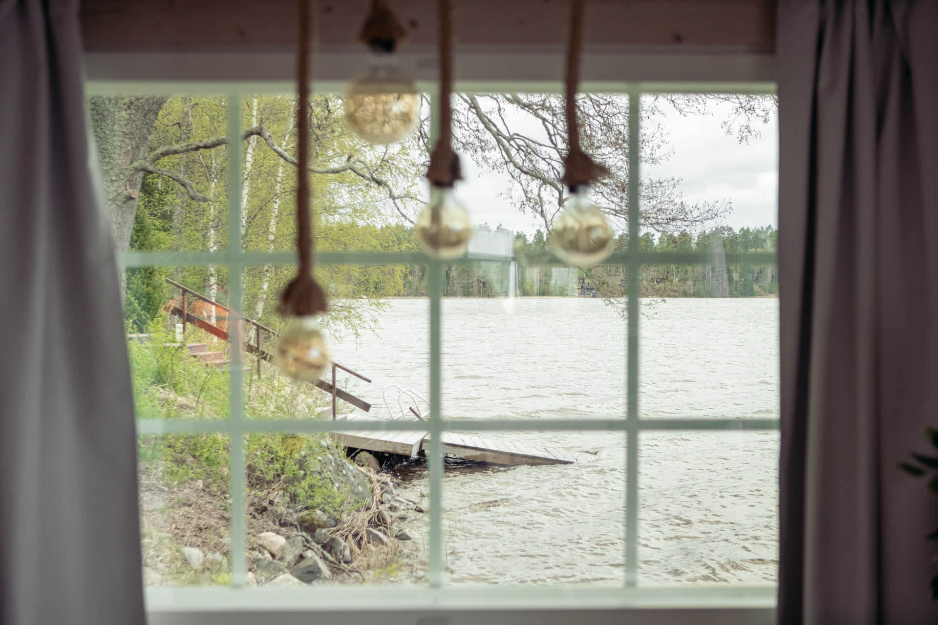
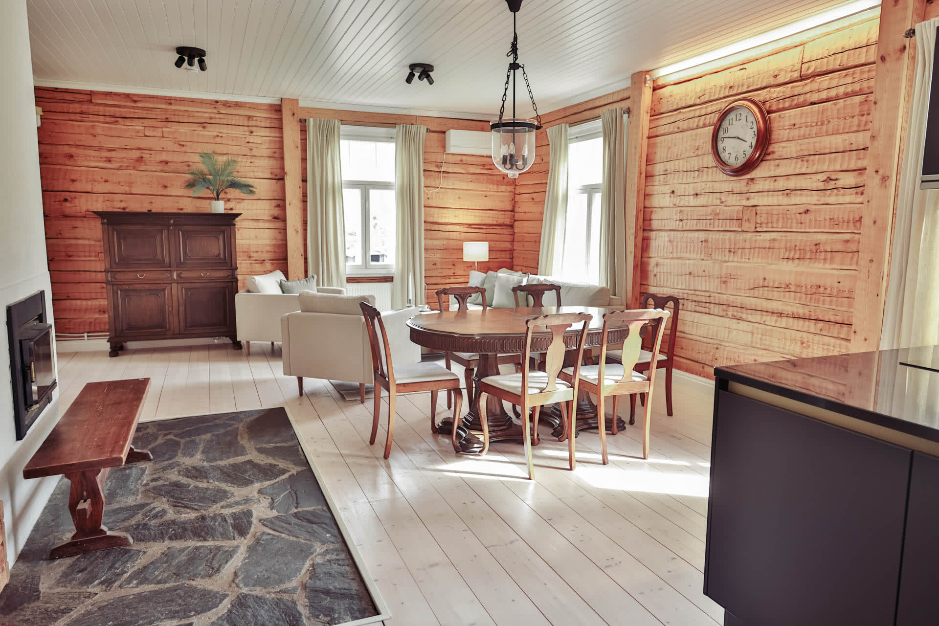
Rental cottage Villa-Koivula
A beautiful log cabin on the shore of Lake...
Read more Rental cottage Villa-Koivula -
Rental cottage Perä-Koivula
A beautiful log cabin on the shore of Lake...
Read more Rental cottage Perä-Koivula -
Rental cottage Ranta-Koivula
A two-storey log cabin on the shore of Lake...
Read more Rental cottage Ranta-Koivula -
Rental cottage Ala-Koivula
Two-storey, log/plank-built cottage approx. 60 m2.
Read more Rental cottage Ala-Koivula
In downstairs there... -
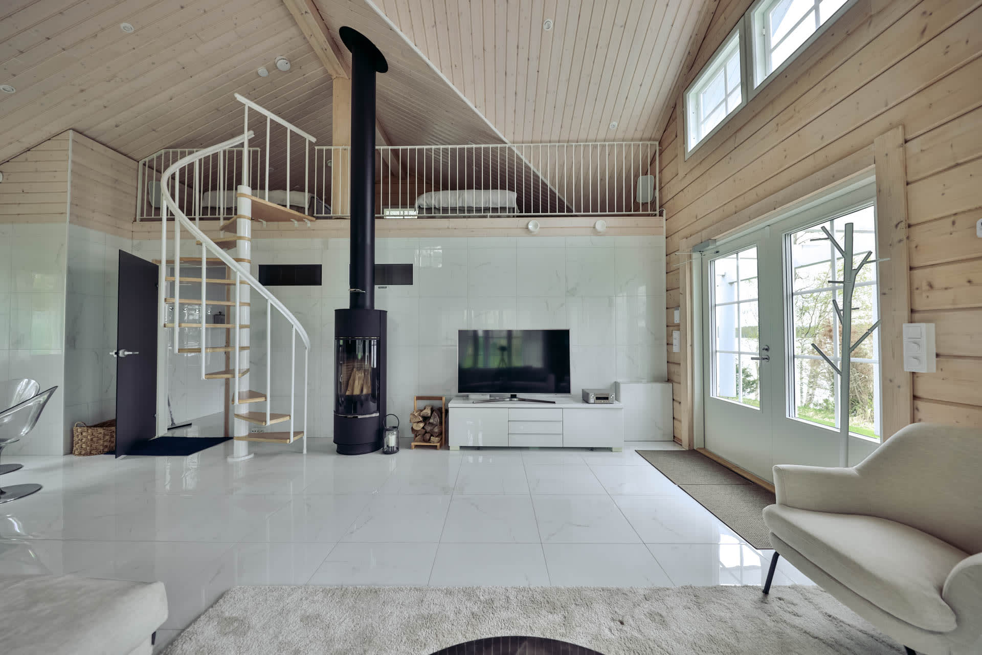
Venevaja – unique accommodation on the water
Accommodation for two water
Read more Venevaja – unique accommodation on the water
The Boathouse was completed in 2022,... -
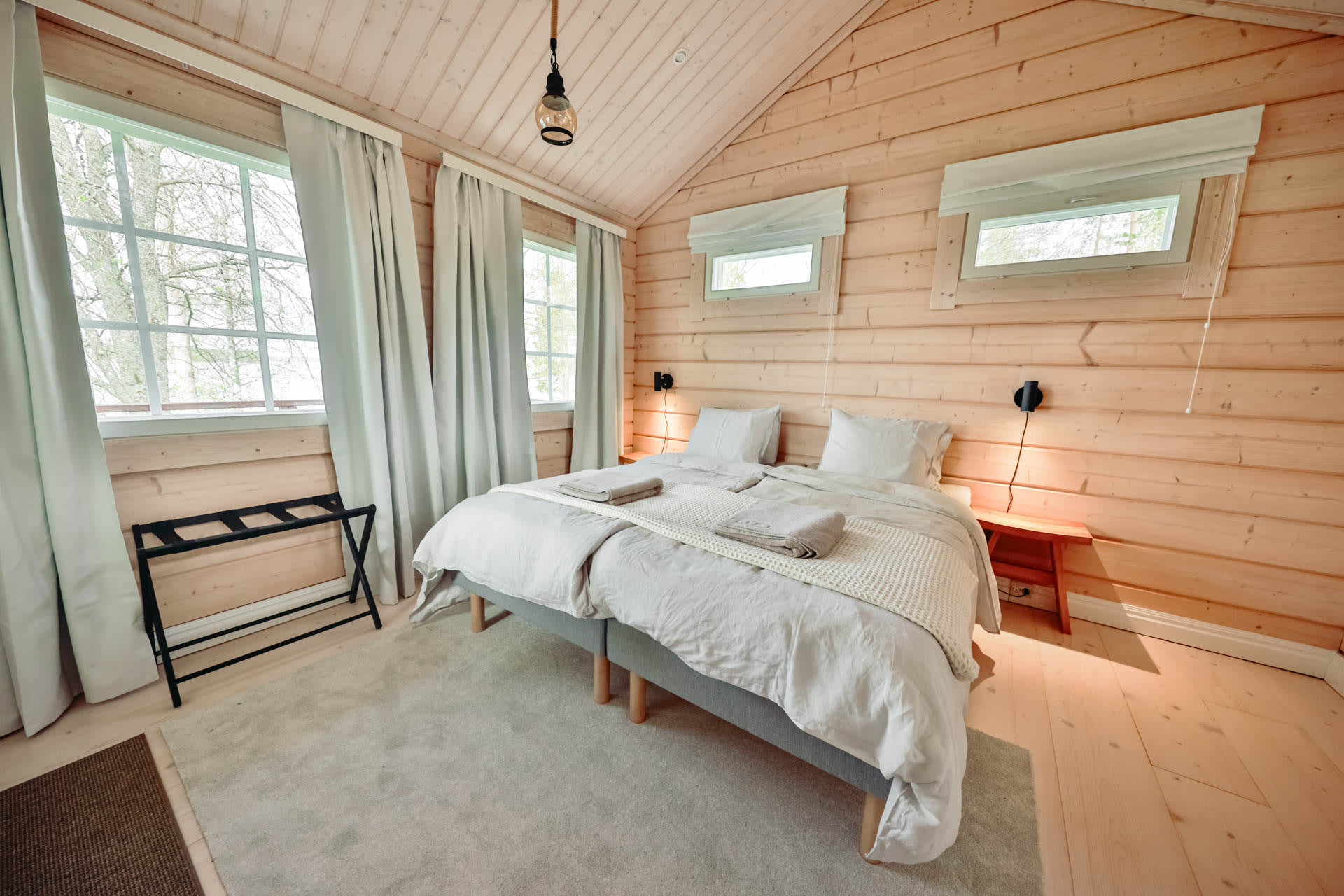
Väentupa – Traditional and cozy accommodation
Spacious and functional accommodation
Read more Väentupa – Traditional and cozy accommodation
There are three bedrooms in the... -
Rantamökki – simple comfort in the midst of nature
Accommodation for two water
Read more Rantamökki – simple comfort in the midst of nature
Beach Cottage is suitable for couples,... -
Järvispa – accommodation by the water
Accommodation in Järvispa
Read more Järvispa – accommodation by the water
Järvispa offers sleeping accommodations for 4 people,... -
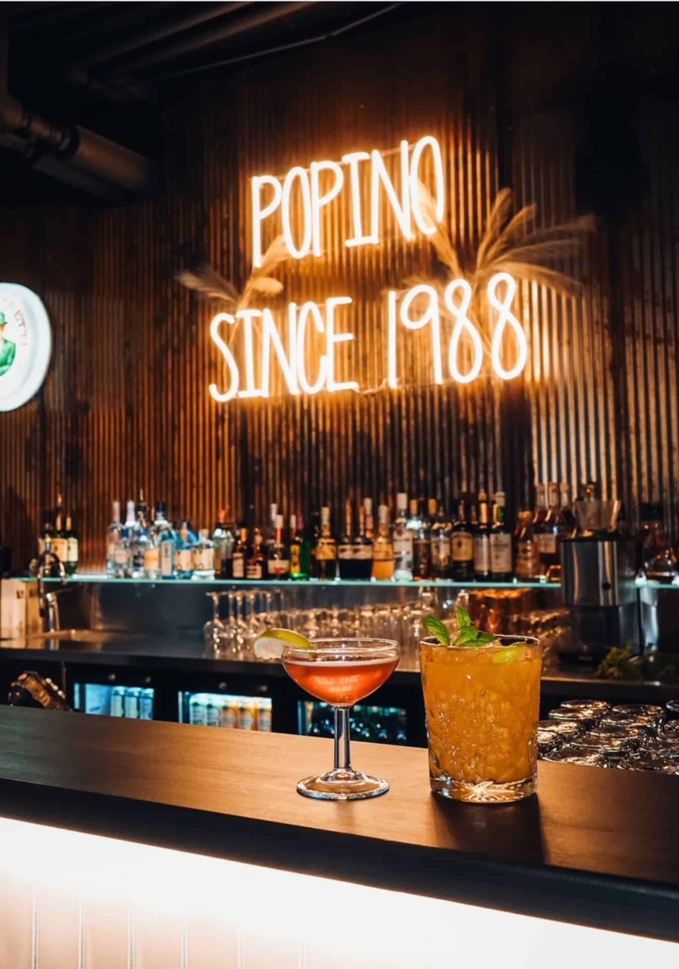
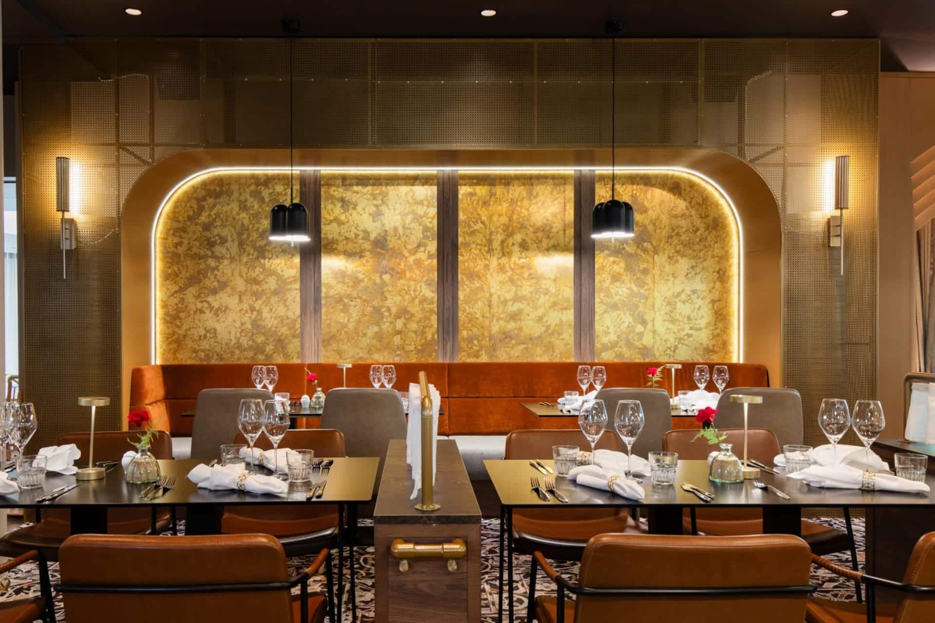
Restaurant Popino
High-quality food made from good ingredients and solid service...
Read more Restaurant Popino -
Restaurant Carni
Carni – Hämeenlinna’s Meat Restaurant
Read more Restaurant Carni
Carni is located in the... -
Ruostejärvi Recreation Area
The Ruostejärvi Nature Recreation Area offers fantastic nature experiences...
Read more Ruostejärvi Recreation Area -
Komio Nature Reserve
In the Komio Nature Reserve, you can discover the...
Read more Komio Nature Reserve -
Vanajanniemi Recreation Area
A beautiful headland in its natural state in Hattula,...
Read more Vanajanniemi Recreation Area -
Tervaniemi and Soininsaari Recreation Area
Tervaniemi and Soininsaari Recreation Area is a versatile recreation...
Read more Tervaniemi and Soininsaari Recreation Area -
Lammassaari Recreation Area
Lammassaari Nature Recreation Area in the Heinunlahti bay on...
Read more Lammassaari Recreation Area -
Pääjärvi Recreation Area
Fairytale moss forests, ridge trails, and traces of the...
Read more Pääjärvi Recreation Area -
Summer Cafe Crown’s Bakery
Summer Café Crown's Bakery is open in the historic...
Read more Summer Cafe Crown’s Bakery -
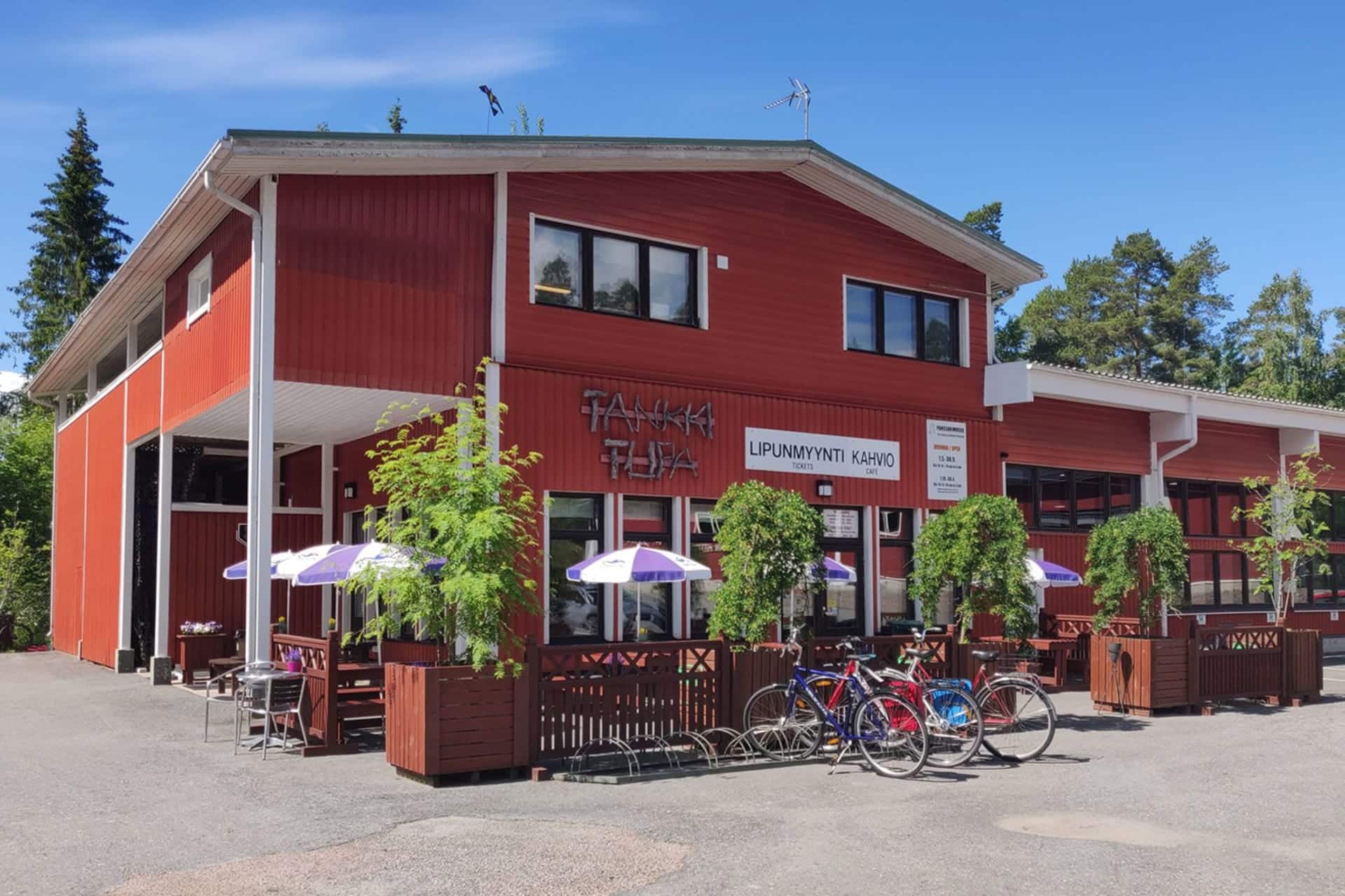
Tankkitupa – Cafeteria
Located in the heart of Häme in Hattula, near...
Read more Tankkitupa – Cafeteria -
Las Palmas Hämeenlinna
Relaxed flavours of the south and karaoke at Raatihuoneenkatu...
Read more Las Palmas Hämeenlinna -
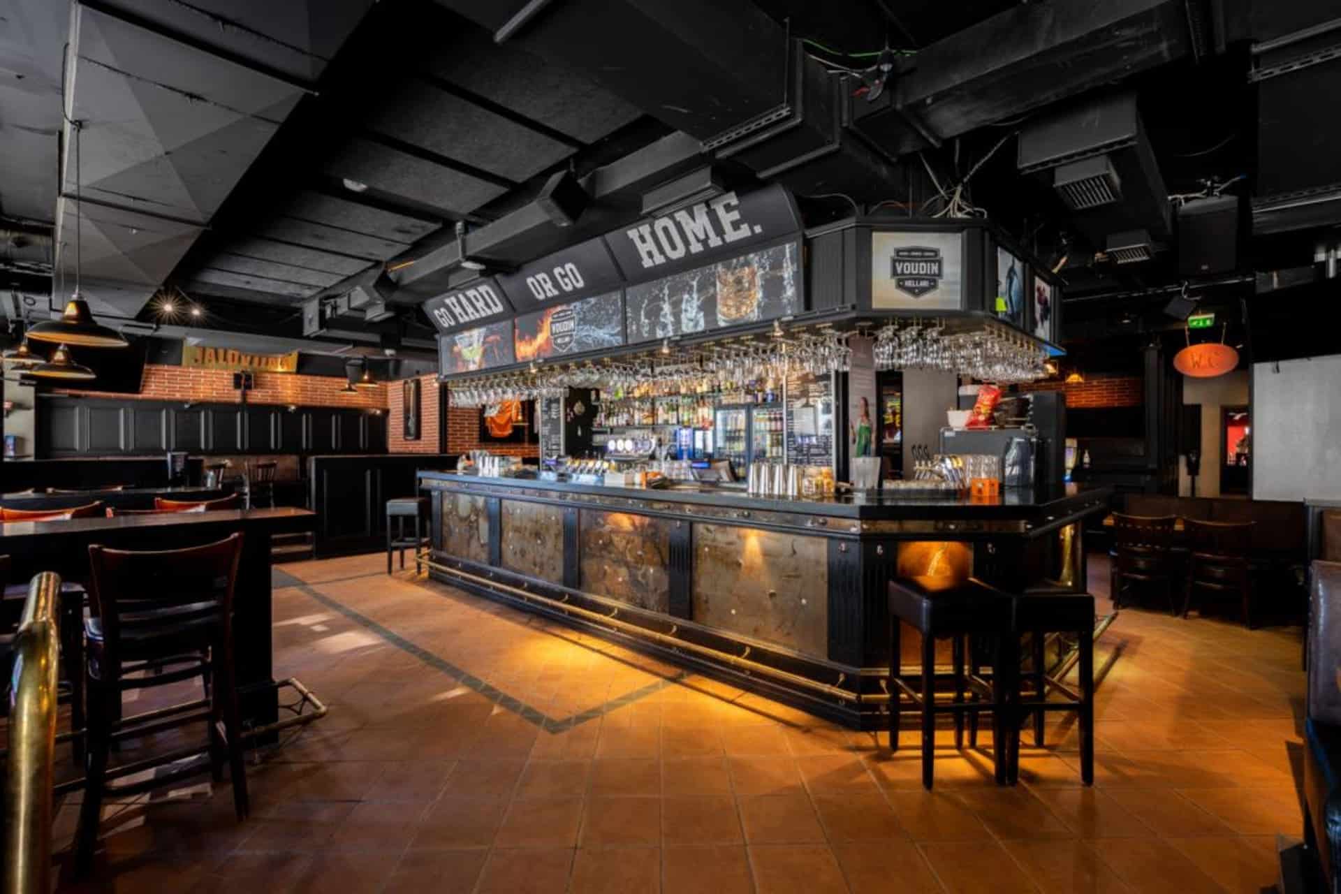
Voudin Kellari Hämeenlinna
MUSIC AND SPORT COME TOGETHER AT VOUTI – YOU...
Read more Voudin Kellari Hämeenlinna -

Restaurant Carl Wilhelm Vanajanlinna
You are warmly welcome to restaurant Carl Wilhelm in...
Read more Restaurant Carl Wilhelm Vanajanlinna -
 Tervetuloa pyöräilijä
Wisahovi Banquet Hall
Wisahovi Banquet hall is a venue for private parties....
Read more Wisahovi Banquet Hall -

The Finnish Glass Museum
The Finnish Glass Museum is a museum with national...
Read more The Finnish Glass Museum -
 Tervetuloa pyöräilijäSustainable Travel Finland
Scandic Aulanko
A fabulous conference and spa hotel that caters to...
Read more Scandic Aulanko -

Hämeenlinna Art Museum
The wonderful Hämeenlinna Art Museum is located in the...
Read more Hämeenlinna Art Museum -
 Sustainable Travel Finland
Restaurant Le Blason
Le Blason brings a whiff of fragrant herbs and...
Read more Restaurant Le Blason -

Restaurant Lounais-Hämeen Pirtti
Restaurant Lounais-Hämeen Pirtti is a traditional Finnish restaurant and...
Read more Restaurant Lounais-Hämeen Pirtti -
 Sustainable Travel Finland
Original Sokos Hotel Vaakuna, Hämeenlinna
Original Sokos Hotel Vaakuna, Hämeenlinna - The happiest lake...
Read more Original Sokos Hotel Vaakuna, Hämeenlinna -
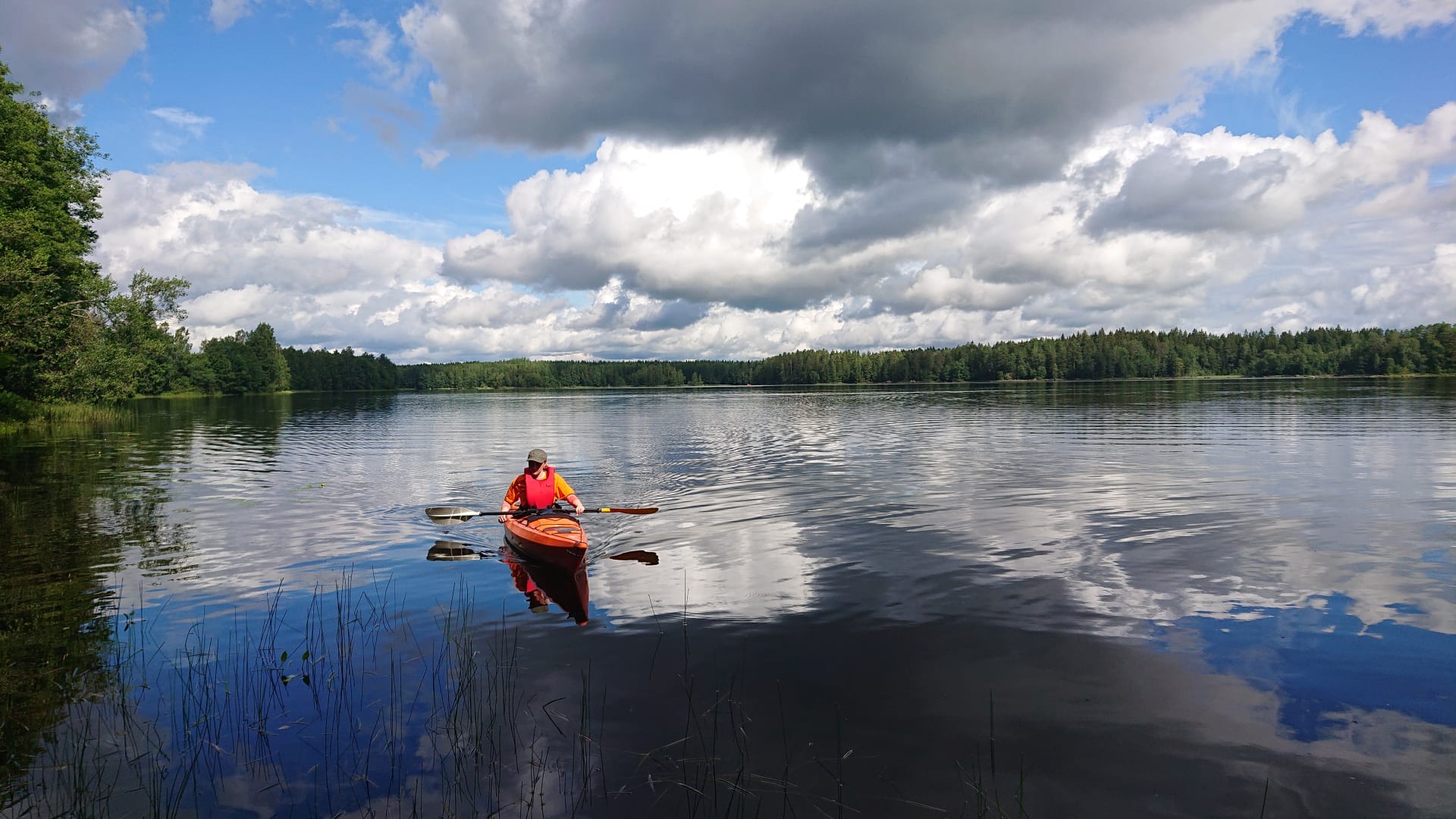
Kayak Rent in Liesjärvi National Park
Self guided paddling trip to the beautiful landscape of...
Read more Kayak Rent in Liesjärvi National Park -
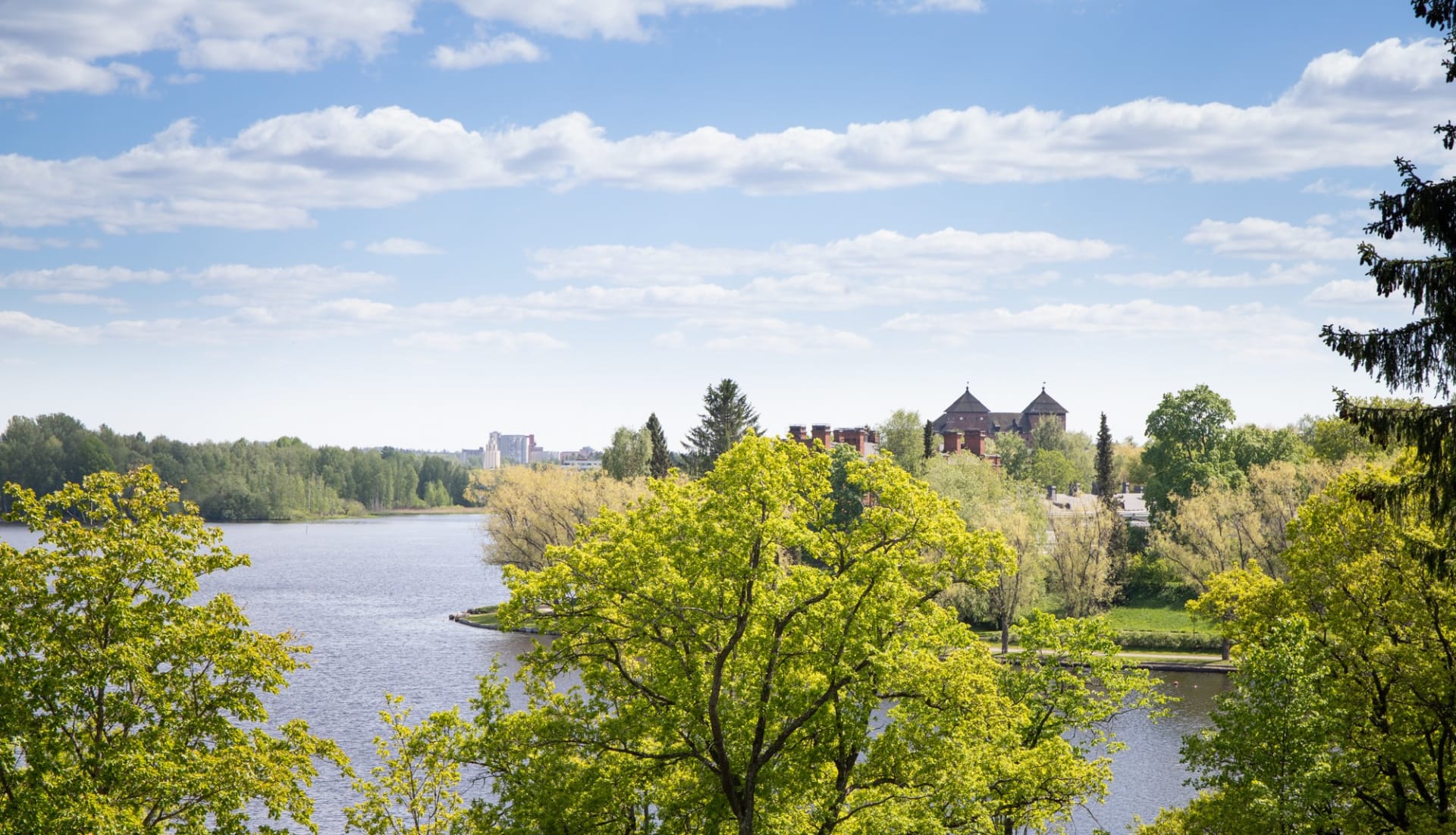
Hämeenlinna National Urban Park
The very first NUP in Finland is a ‘show...
Read more Hämeenlinna National Urban Park -

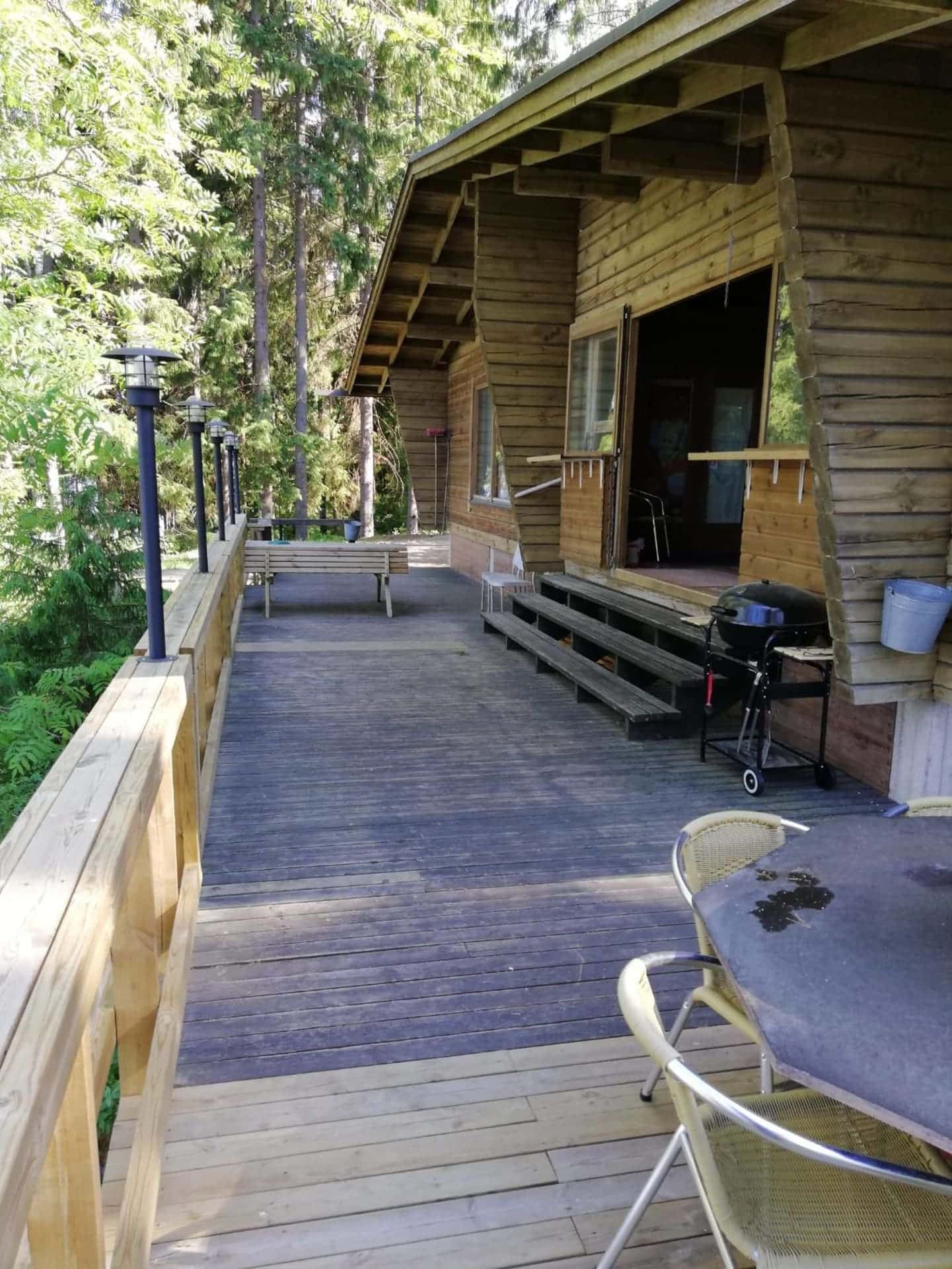
Hykkilän Huvilat Lakeside Cottages
Would you like to relax, enjoy fresh air and...
Read more Hykkilän Huvilat Lakeside Cottages -

Miller’s BBQ
Barbecue restaurant in the cozy setting of Hämeenlinna's Kruununmylly...
Read more Miller’s BBQ -

Finlandia Hotel Seurahuone Riihimäki
Hotel Seurahuone has long traditions and it is located...
Read more Finlandia Hotel Seurahuone Riihimäki -

Svenni Eatery Hämeenlinna
Come and enjoy our atmospheric cerllar restaurant!
Read more Svenni Eatery Hämeenlinna
Svenni Eatery is... -
Local History Museum Lukkarin Puustelli
Below the Kirkkomäki hill there is a croft known...
Read more Local History Museum Lukkarin Puustelli -
 Tervetuloa pyöräilijäSustainable Travel Finland
Eerikkilä Villas and Holiday Apartments
The Eerikkilä Sport & Outdoor Resort provides a variety...
Read more Eerikkilä Villas and Holiday Apartments -

Ahvenisto Outdoor and Nature Reserve
Ahvenisto Ridge area is a popular outdoor district in...
Read more Ahvenisto Outdoor and Nature Reserve -

Aulanko Nature Reserve
Aulanko has been a popular destination with visitors for...
Read more Aulanko Nature Reserve -

Accommodation at Tiirinkosken Tehdas
Accommodation at Tiirinkoski
Read more Accommodation at Tiirinkosken Tehdas
Have you always wanted to stay in... -

Melkuttimet Protected Area
The area's easy to travel ridge-side pine forests and...
Read more Melkuttimet Protected Area -

Tiirinkoski Factory
Located in Hämeenlinna, the Tiirinkoski factory exudes a warm...
Read more Tiirinkoski Factory -
Riihimäki Railway Park
When you get off the train at Riihimäki railway...
Read more Riihimäki Railway Park -

Panssarimuseo – The Parola Armour Museum
Located in the heart of Häme in Hattula, near...
Read more Panssarimuseo – The Parola Armour Museum -

Aulanko Lakeside
THE AULANKO LAKESIDE consists of four buildings and offers...
Read more Aulanko Lakeside -
Portaan Nahkurinverstas Tannery Restaurant
Portaan Nahkurinverstas' Tannery Restaurant serves you in a 19th...
Read more Portaan Nahkurinverstas Tannery Restaurant -

Tulinummi Private Restaurant&Venue
Tulinummi is a private restaurant and event venue in...
Read more Tulinummi Private Restaurant&Venue -
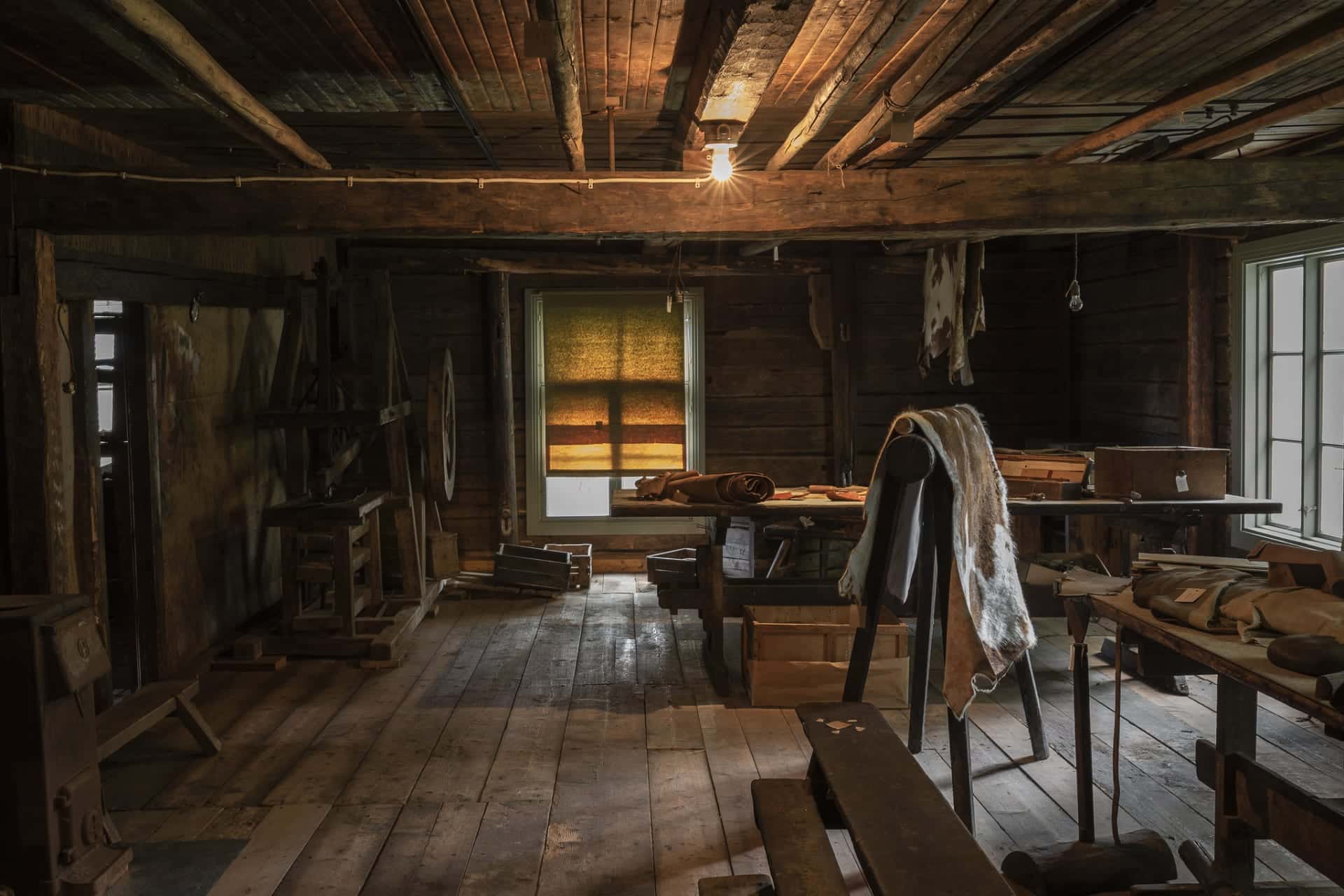
Tannery Museum
At Portaan Nahkurinverstas, a former tannery shop, you can...
Read more Tannery Museum -

Hyttikortteli in Riihimäki
Walk down the narrow alleys of Hyttikortteli, sense the...
Read more Hyttikortteli in Riihimäki -
Eerikkilä Sport & Outdoor Activity Equipment Rental
We have rental gear for you, whether you plan...
Read more Eerikkilä Sport & Outdoor Activity Equipment Rental -
Aulanko Lake Hide-out
The Aulanko Lake Hide-out is an accommodation complex located...
Read more Aulanko Lake Hide-out -
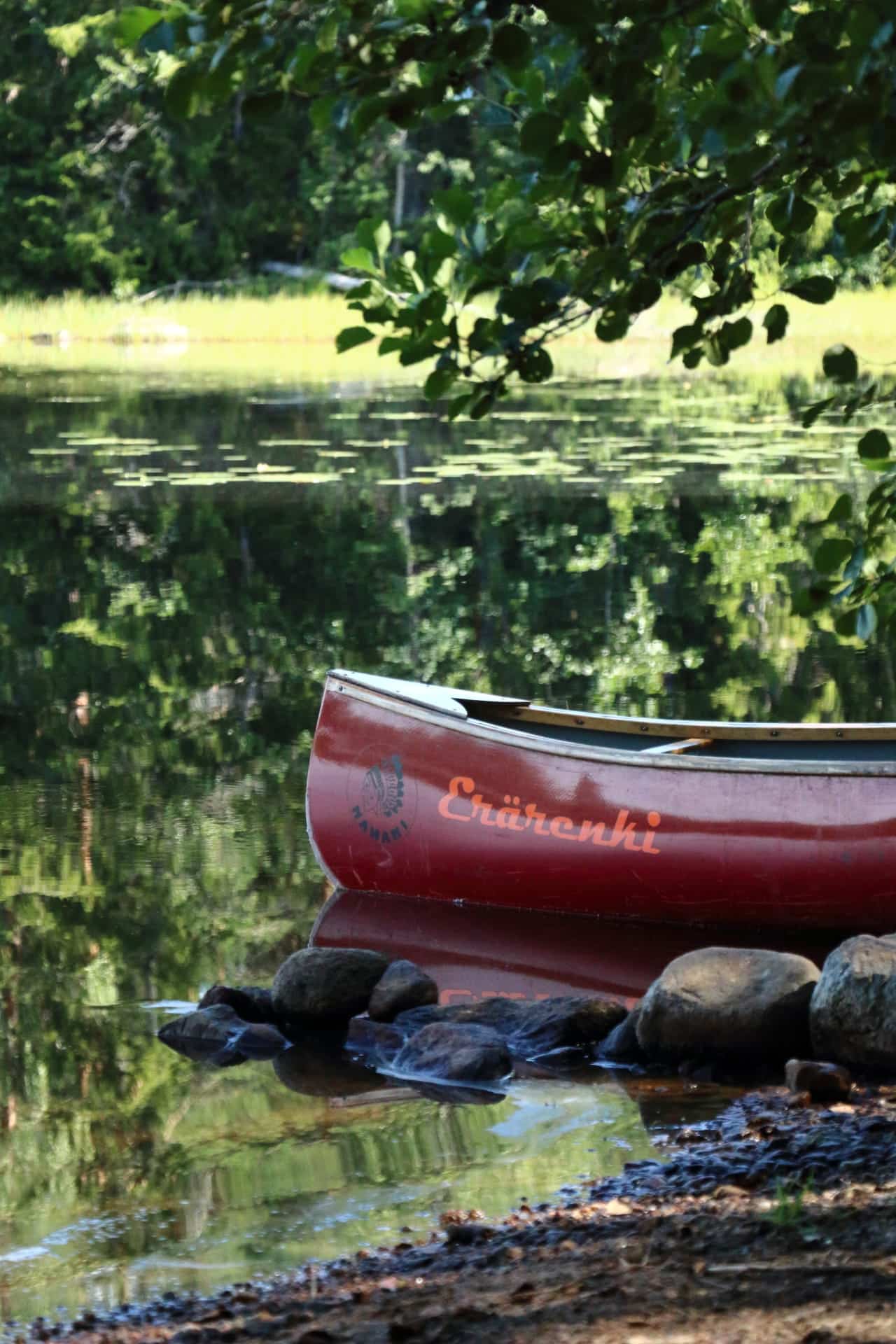
Canoe Rent in Liesjärvi National Park
Self guided paddling trip to the beautiful landscape of...
Read more Canoe Rent in Liesjärvi National Park -

Hotel Vanajanlinna
Hotel Vanajanlinna in Hämeenlinna is a full-service hotel and...
Read more Hotel Vanajanlinna -
Restaurant Obelix Riihimäki
Ravintola Obelix is a cozy Restaurant in Riihimäki serving...
Read more Restaurant Obelix Riihimäki -

Wetterhoff House
Wetterhoff House is a combination of traditional craftsmanship and...
Read more Wetterhoff House -

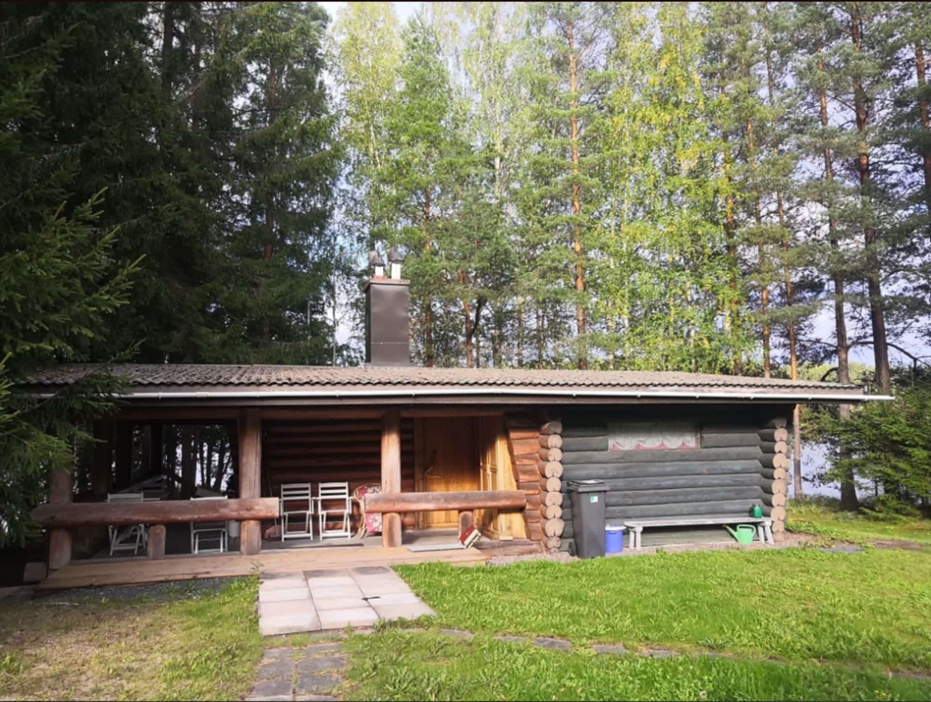
Haapaniemi Cottages
Cottages are located about one hours drive (circa 100...
Read more Haapaniemi Cottages -

Sibelius Forest
Sibelius Forest is a nature reserve of approximately 100...
Read more Sibelius Forest -

Holy Cross Church in Hattula
Holy Cross Church in Hattula serves as one of...
Read more Holy Cross Church in Hattula -
Portaan Nahkurinverstas Apartments
Portaan Nahkurinverstas' spacious apartments for 1-6
Read more Portaan Nahkurinverstas Apartments
people are located in... -

Hilupilttuu
Rental Cottage in Nature and Countryside - Hilupilttuu
Read more Hilupilttuu
• AROUND... -

Skogster Museum
Skogster Museum is the main location of Hämeenlinna City...
Read more Skogster Museum -

Sibelius Park in Hämeenlinna
Sibelius Park is a beautiful small park located in...
Read more Sibelius Park in Hämeenlinna -

Villa Vuorenpää
Nostalgic Country House Villa Vuorenpää
Read more Villa Vuorenpää
• AROUND THE YEAR
Villa Vuorenpää... -

Museo Militaria – The Artillery, Engineer and Signals Museum of Finland
Museo Militaria is a war history museum showcasing the...
Read more Museo Militaria – The Artillery, Engineer and Signals Museum of Finland -

B & B Matin ja Maijan Majatalo
In our hospitable bed and breakfast, You will be...
Read more B & B Matin ja Maijan Majatalo -

Vanai Bistro & Bastu Restaurant
Vanai Bistro & Bastu is a family business that...
Read more Vanai Bistro & Bastu Restaurant -

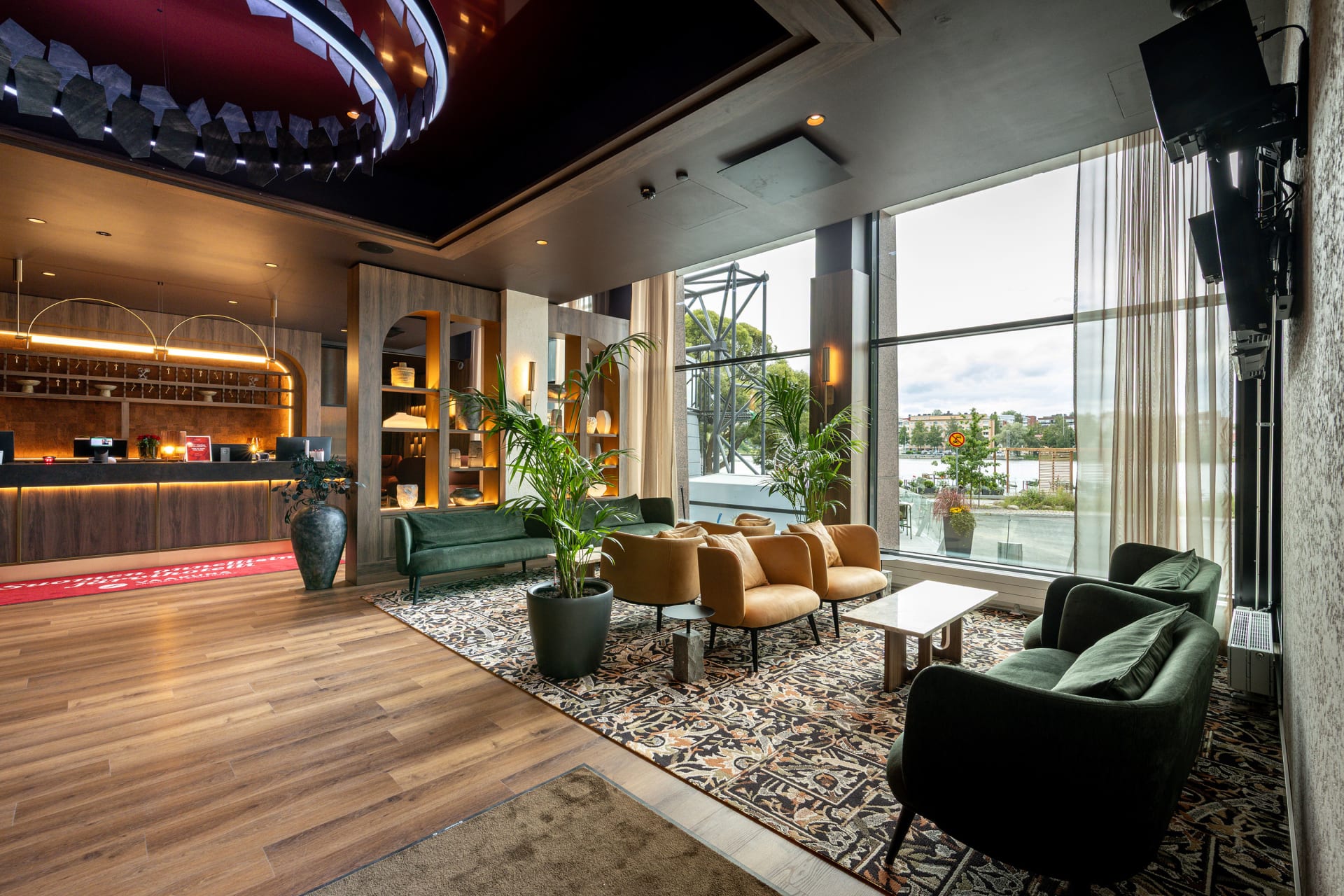
Scandic Hämeenlinna City
A cosy and versatile hotel in the best location...
Read more Scandic Hämeenlinna City -

Aulanko Lake Villa
AULANKO LAKE VILLA is the centre of tranquillity with...
Read more Aulanko Lake Villa -

Café Kukko, Hämeenlinna
We at Café Kukko want to bring more great...
Read more Café Kukko, Hämeenlinna -
Loppi Old Church Hill
The history of Loppi Old Church Hill dates back...
Read more Loppi Old Church Hill -

Pub Albertin Kellari
Pub Albertin Kellari, located in the basement of the...
Read more Pub Albertin Kellari -

Liesjärvi National Park
Spend a day at Korteniemi Heritage Farm to find...
Read more Liesjärvi National Park -

Honkalanranta Nature Reserve
Honkalanranta is a private nature reserve located on the...
Read more Honkalanranta Nature Reserve -

Vanajanlinna Restaurant
Vanajanlinna in Hämeenlinna is a full-service hotel, restaurant and...
Read more Vanajanlinna Restaurant -

Going Nowhere Resort
Forested living room and personalized bed and breakfast accommodation...
Read more Going Nowhere Resort -
 Tervetuloa pyöräilijä
Myllytalo
Myllytalo (Finnish for Millhouse) is located in Hämeenlinna, just...
Read more Myllytalo -

Loppi Wilderness Villa
LOPPI WILDERNESS VILLA is a multifunctional and truly unique...
Read more Loppi Wilderness Villa -

Ateljee Tiriteijaa Studio
Welcome to visit my studio at Hämeenkatu 9-15, Riihimäki....
Read more Ateljee Tiriteijaa Studio -

Aulanko Outdoors Equipment Rental
Sports equipment rental at Aulanko, Hämeenlinna.
Read more Aulanko Outdoors Equipment Rental
Want to explore... -
VillaUlpu
Wilderness Cabin Holiday
Read more VillaUlpu
Villa Ulpu offers accommodation in a beautiful... -

The Hunting Museum of Finland
This is an indoor wilderness experience only about one...
Read more The Hunting Museum of Finland -

Räyskälä Grand Villa
RÄYSKÄLÄ GRAND VILLA is an atmospheric multifunctional villa for...
Read more Räyskälä Grand Villa -

Kultakukkura Villas
Cosy and Modern Kultakukkura Villas by the Lake Pyhäjärvi.
Read more Kultakukkura Villas
These... -

Aulanko Grand Villa
AULANKO GRAND VILLA is located in Aulanko Peace Area...
Read more Aulanko Grand Villa -

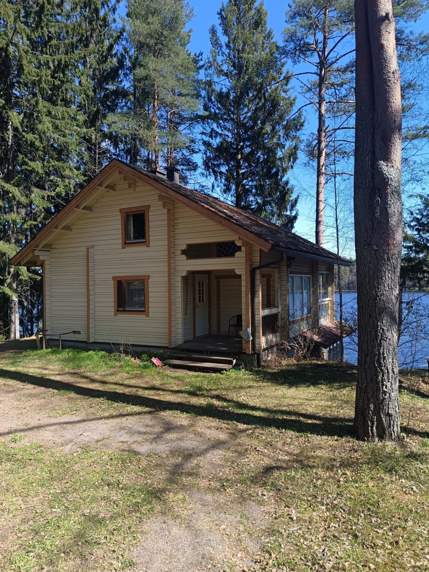
Villa Lake Kuivajärvi
Villa Lake Kuivajärvi is a holiday cottage with all...
Read more Villa Lake Kuivajärvi -

Restaurant Piparkakkutalo
Restaurant Piparkakkutalo is located in a historical house. The...
Read more Restaurant Piparkakkutalo -

Birthplace of Jean Sibelius
Discover the first twenty years of famous composers life...
Read more Birthplace of Jean Sibelius -

Aulangon Tornikahvila
Lookout Cafe Aulanko - an oasis in the national...
Read more Aulangon Tornikahvila -
 Tervetuloa pyöräilijäSustainable Travel Finland
Eerikkilä Restaurant and Bar & Cafe 49
Since nutrition plays a crucial role in holistic wellbeing,...
Read more Eerikkilä Restaurant and Bar & Cafe 49 -

Marskin Maja’s Restaurant
Marskin Maja's restaurant offers dinners, corporate parties, meetings, workdays,...
Read more Marskin Maja’s Restaurant -
Hämeenlinna Theater
The 125-year-old Hämeenlinna Theatre offers a distinctive and artistically...
Read more Hämeenlinna Theater -

Rantakasino, Summer Restaurant
Famous summer restaurant in the heart of Hämeenlinna, by...
Read more Rantakasino, Summer Restaurant -

Aulanko Tower
Aulangonvuori Hill is dominated by a 33-metres-tall granite tower...
Read more Aulanko Tower -

Verkatehdas Restaurant
Verkatehdas Restaurant is a versatile restaurant located in Verkatehdas...
Read more Verkatehdas Restaurant -

Fifth Avenue Diner
Make a journey through the USA with us. FA-restaurant...
Read more Fifth Avenue Diner -

Hämeenlinna Travel Park
Travel park is open during the summer season 1.5.-30.9.2023
Read more Hämeenlinna Travel Park
During... -

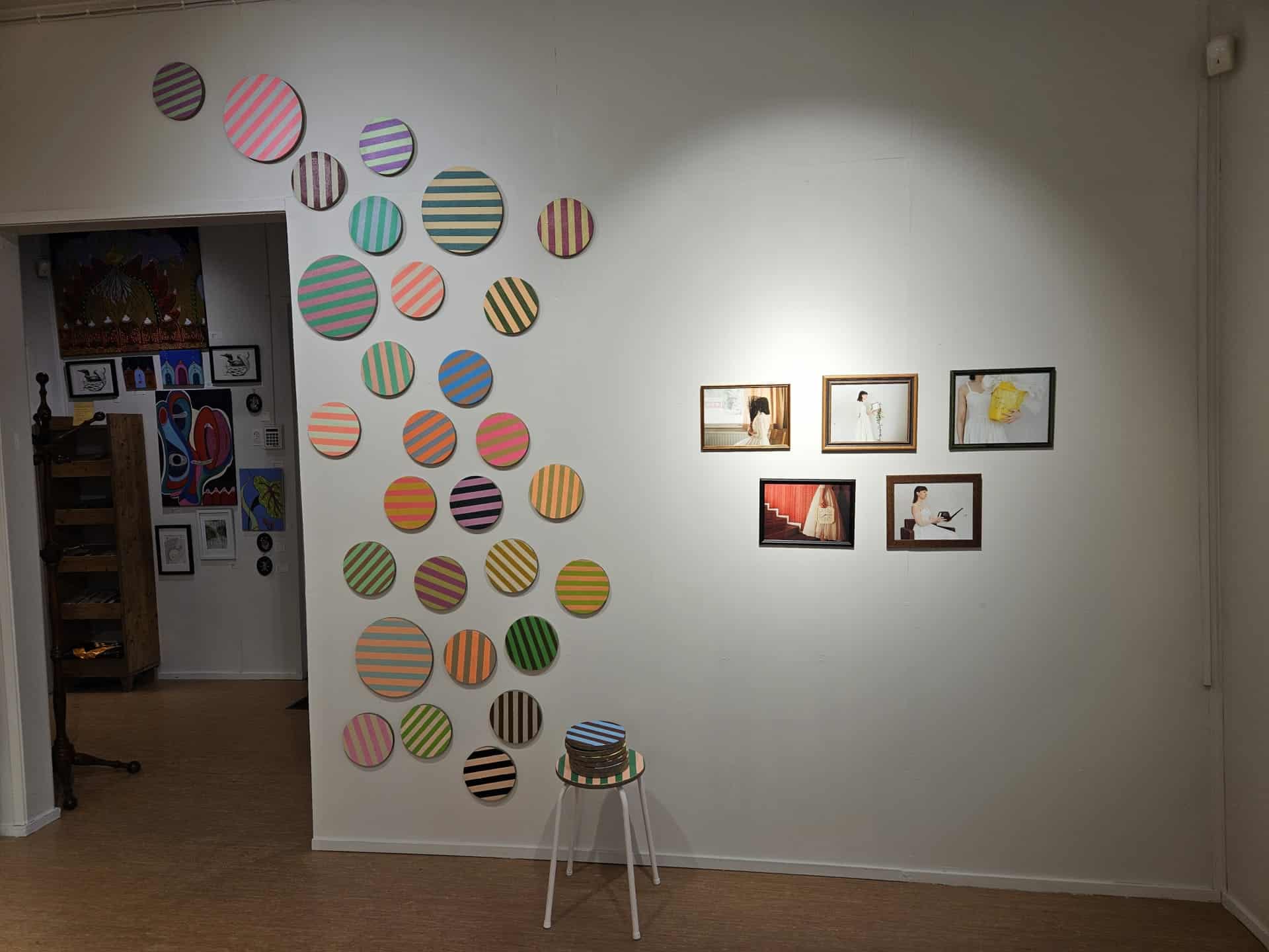
Galleria Paperihuone
Galleria Paperihuone is an art gallery located in the...
Read more Galleria Paperihuone


More nature sites
-
 array(0) {
}
lean-to, goahti (lapp tent shelter) or 'kammi' earth lodge
array(0) {
}
lean-to, goahti (lapp tent shelter) or 'kammi' earth lodgePilkutin hut
Pilkuttimenpolku , Loppi
The shores of clear-water Lake Pilkutin provide a day trip destination for the whole family. The area has a...
Read more about the nature activity Pilkutin hut -
 array(0) {
}
other nature conservation area with recreational services
array(0) {
}
other nature conservation area with recreational servicesAhvenisto Nature Reserve
Olympiakatu 20 , Hämeenlinna
Read more about the nature activity Ahvenisto Nature Reserve -
 array(0) {
}
lean-to, goahti (lapp tent shelter) or 'kammi' earth lodge
array(0) {
}
lean-to, goahti (lapp tent shelter) or 'kammi' earth lodgeIso-Melkutin lean-to shelter
Melkuttimentie , Loppi
A large lean-to shelter near the beach. The campfire site has a reversible barbecue grill grate.
Read more about the nature activity Iso-Melkutin lean-to shelter -
 array(0) {
}
lean-to, goahti (lapp tent shelter) or 'kammi' earth lodge
array(0) {
}
lean-to, goahti (lapp tent shelter) or 'kammi' earth lodgeKivijärvi Lean-to Shelter Tammela
Pyhälammintie , Tammela
A charming bat-shaped lean-to located on the shore of Lake Kivijärvi, along the Häme Lynx Trail. It serves as...
Read more about the nature activity Kivijärvi Lean-to Shelter Tammela