 Häme
Vanajavesi Paddling Route
Vanajanniementie 214, Hattula
Hattula
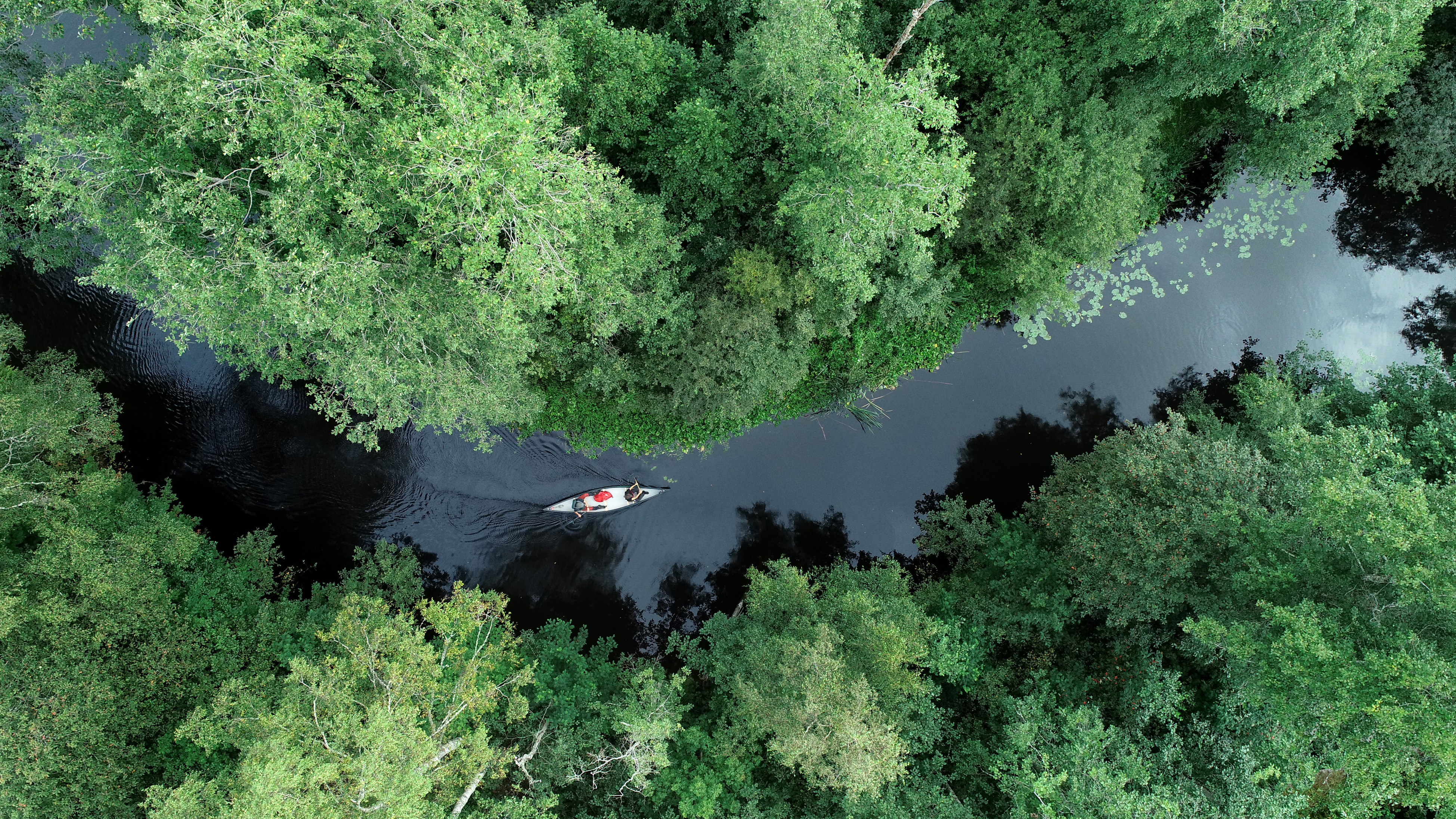
The Vanajavesi Paddling route stretches from Hämeenkoski to Vanajanselkä, winding through the rural landscapes of Häme and the historic Vanajavesi Valley. This approximately 120-kilometer water route combines nature's tranquility, diverse river and lake scenery, rich cultural heritage and historic landmarks. The route offers paddling opportunities ranging from day trips to multi-day paddling adventures.
Description
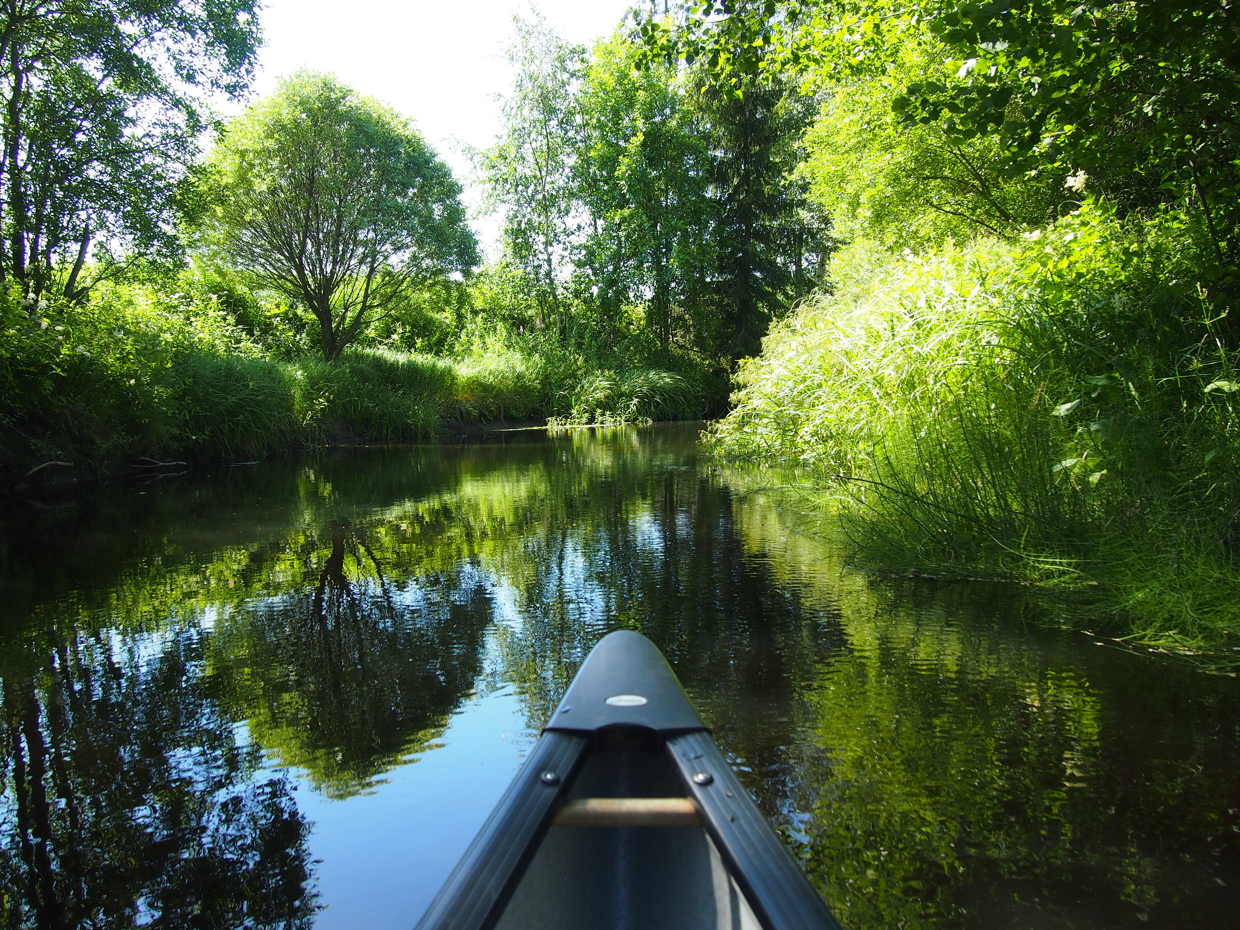
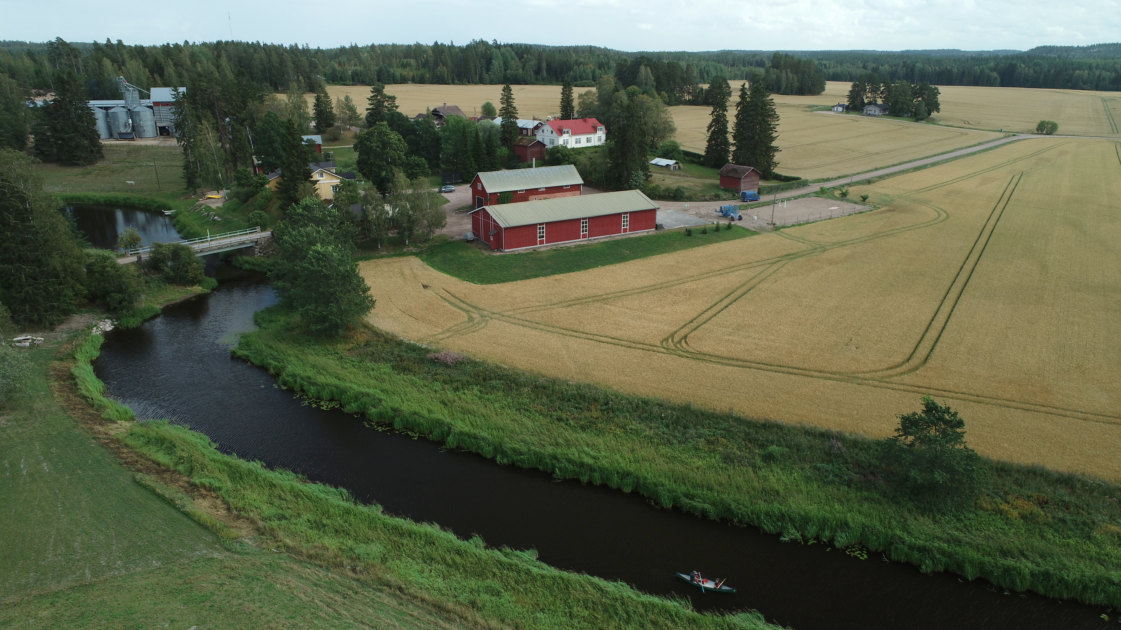
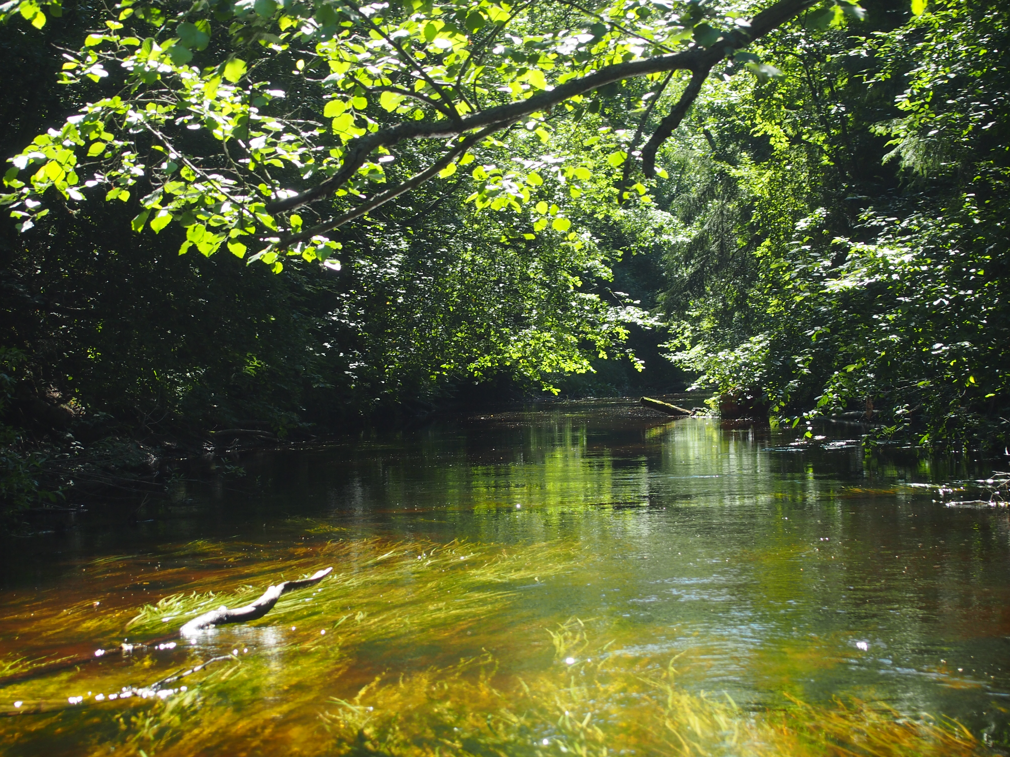
The Vanajavesi Paddling route winds through the diverse river and lake landscapes of Häme, stretching from Hämeenkoski via Hämeenlinna to Vanajanselkä in Hattula. The route begins on the Teuronjoki River, where the winding waterway flows through beautiful forests and rural farmland before reaching Lake Mommilanjärvi. From there, the journey continues along the Puujoki River to Lake Kernaalanjärvi and further via the Hiidenjoki River to Turenki and Hämeenlinna.
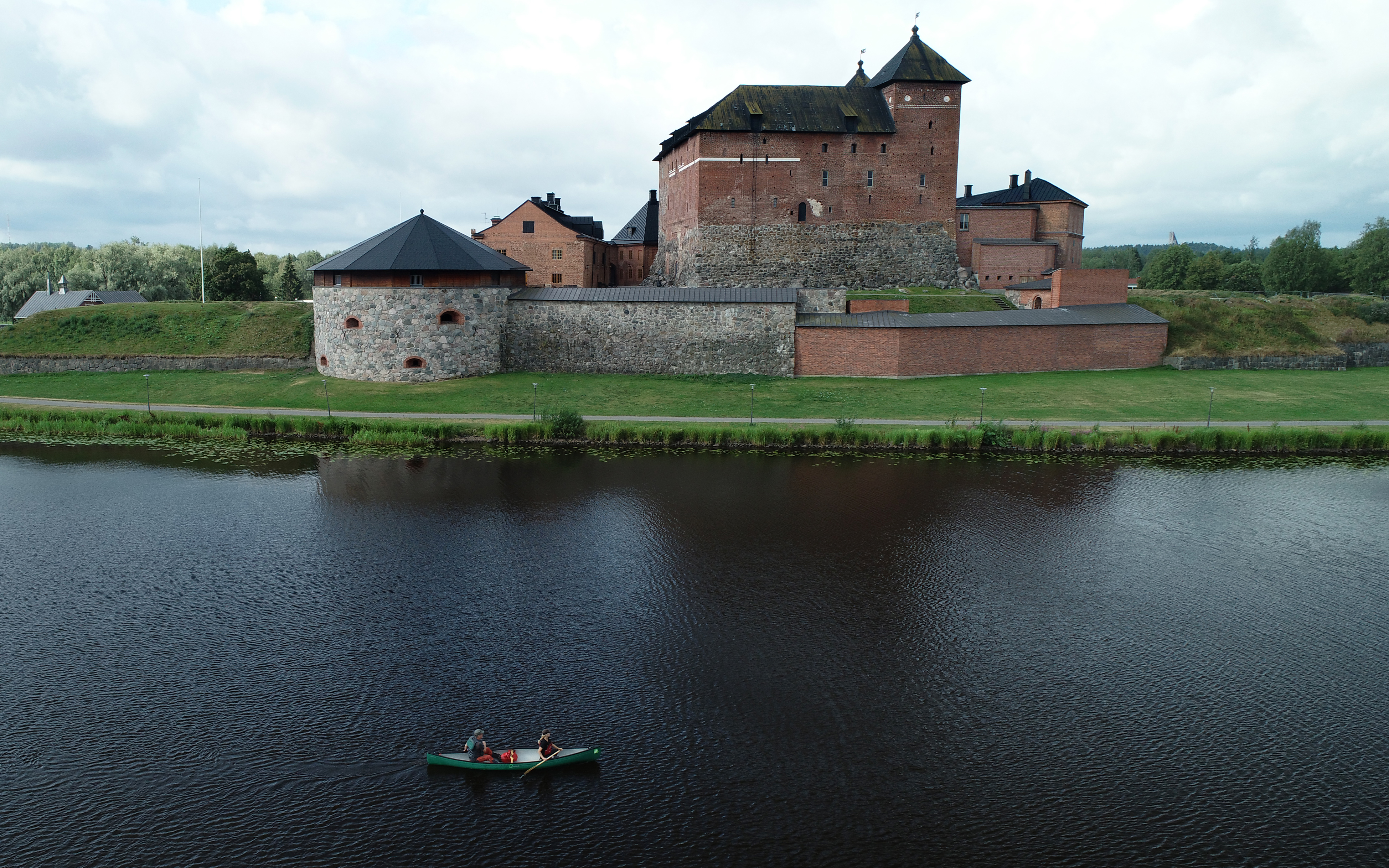
From Hämeenlinna onwards, paddlers travel through the historic Vanajavesi Valley, where ancient hill forts, medieval stone churches and the impressive Häme Castle line the shores. The route ends on the shores of Vanajanselkä at the Vanajanniemi Recreation area.
Numerous settlements, services and launch sites along the route allow paddlers to choose a section that suits their interests and schedule. An experienced paddler can complete the entire route in about three days, but if you want to enjoy the scenery, local services and the many cultural and historical attraction, you can reserve a week.
Highlights
Lush river landscapes and effortless whitewater paddling
Rural tranquility and beautiful lake scenery
Ancient hillforts, medieval churches and the majestic Häme Castle
Numerous launch points make both day trips and long paddling adventures possible
Plenty of rest stops and wide range of services along the way
Information
Arrival
The paddling route begins on the Teuronjoki River in Hämeenkoski. The recommended launch site is at the Koskikara rest area near the Koskikartano Café and restaurant. The site offers parking, and a short path leads to the riverbank, where a canoe launch pier is available. Several alternative starting and ending points along the route allow paddlers to choose sections of different lengths.
Route duration
3 - 7 days
Good to know
A more detailed route description and information on alternative starting and ending points can be found on Outdooractive.
Route's length km
119
Free access
Accessibility
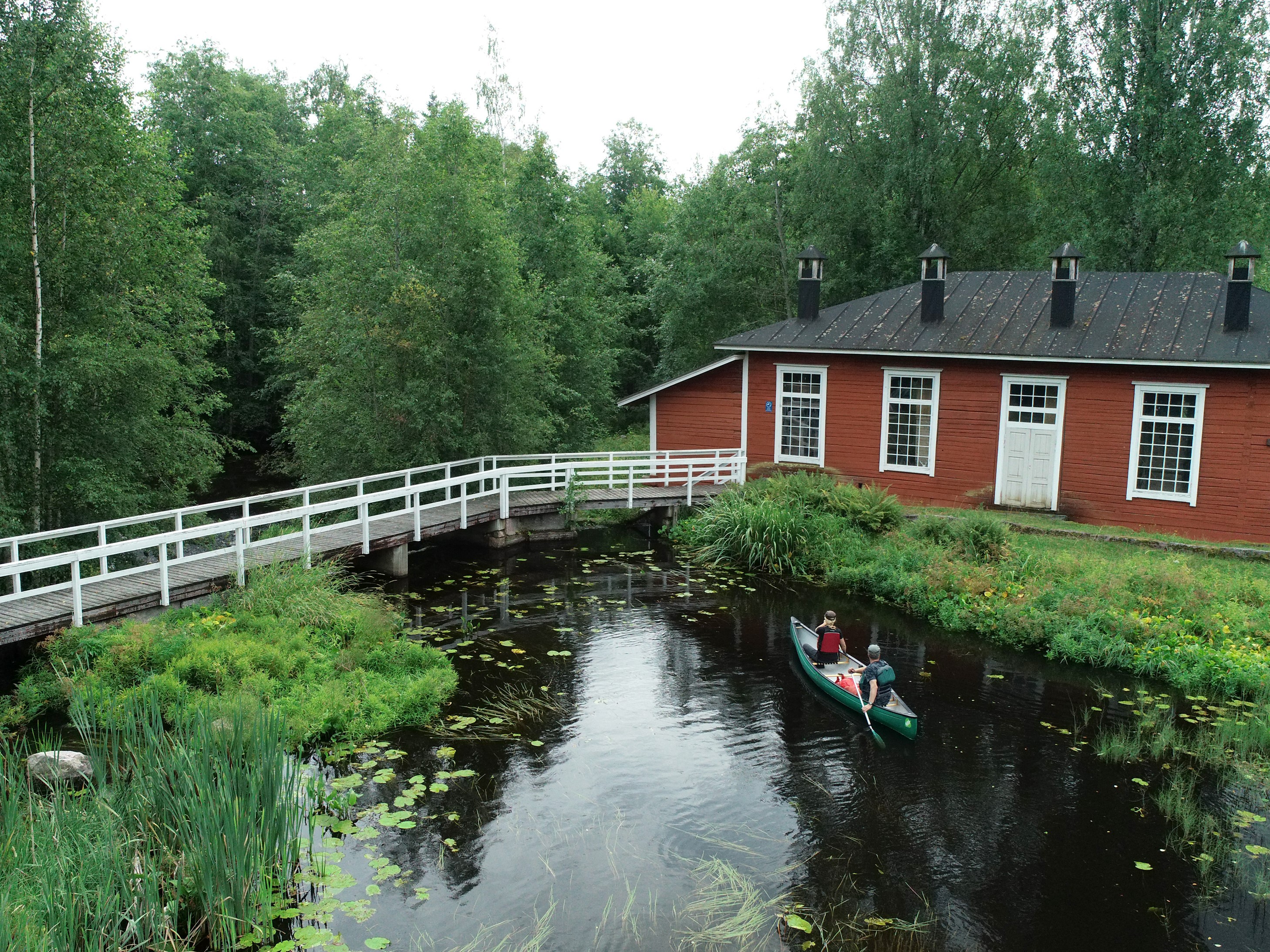
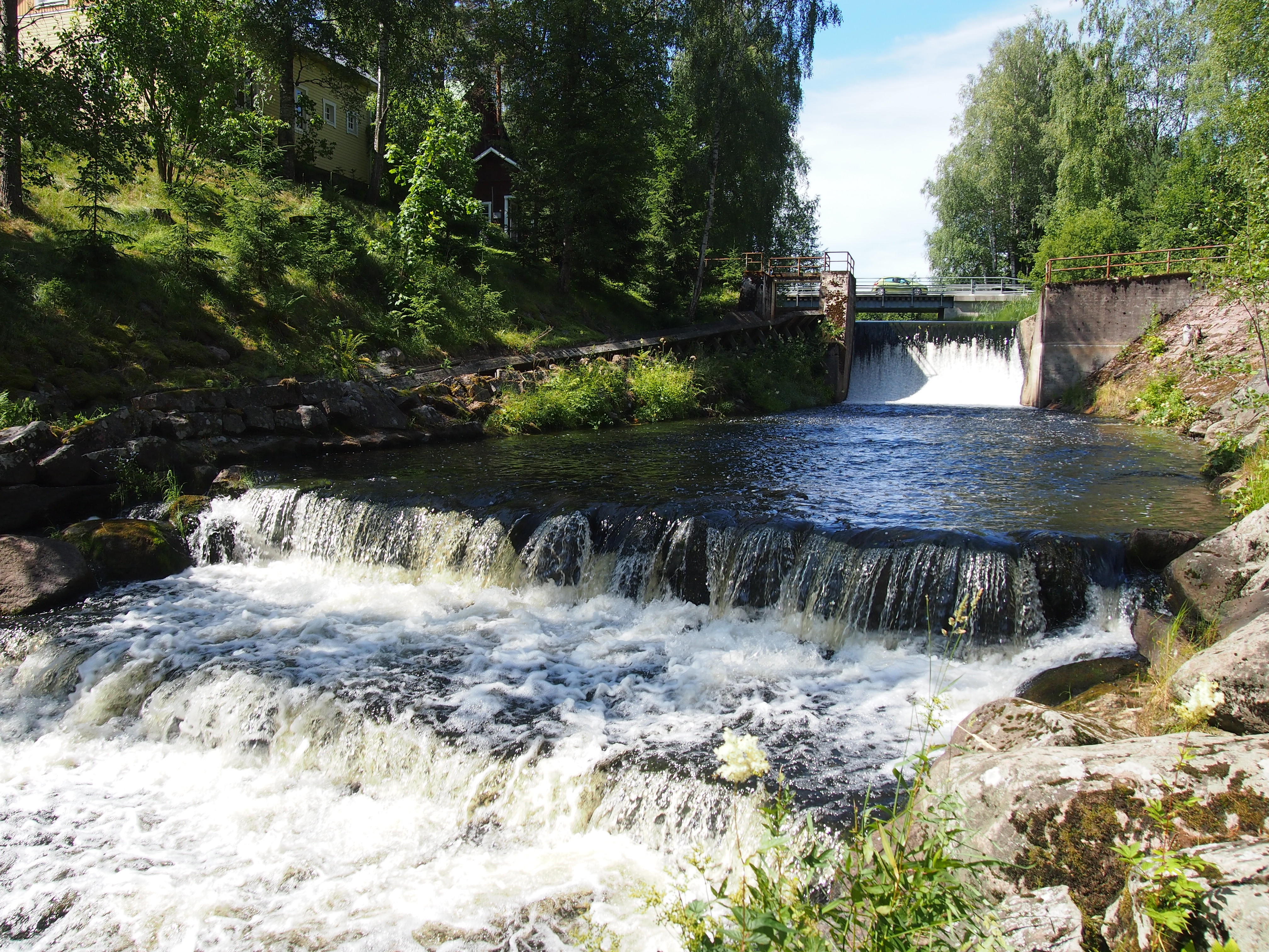
At the beginning of the route, there are several places on the Teuronjoki and Puujoki Rivers that require carrying a canoe, such as Hankalankoski Rapids, the Myllykylä Dam and the Vuolteenkoski Dam.
Nearby services
-
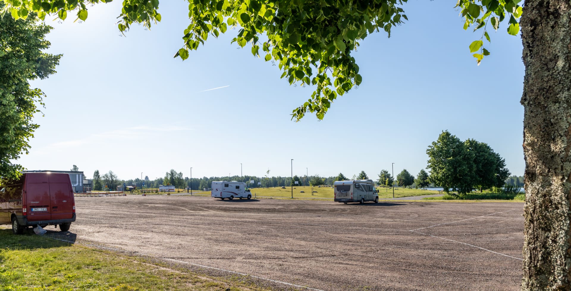
Hämeensaari Travel Park
During the summer season, the city of Hämeenlinna offers...
Read more Hämeensaari Travel Park -
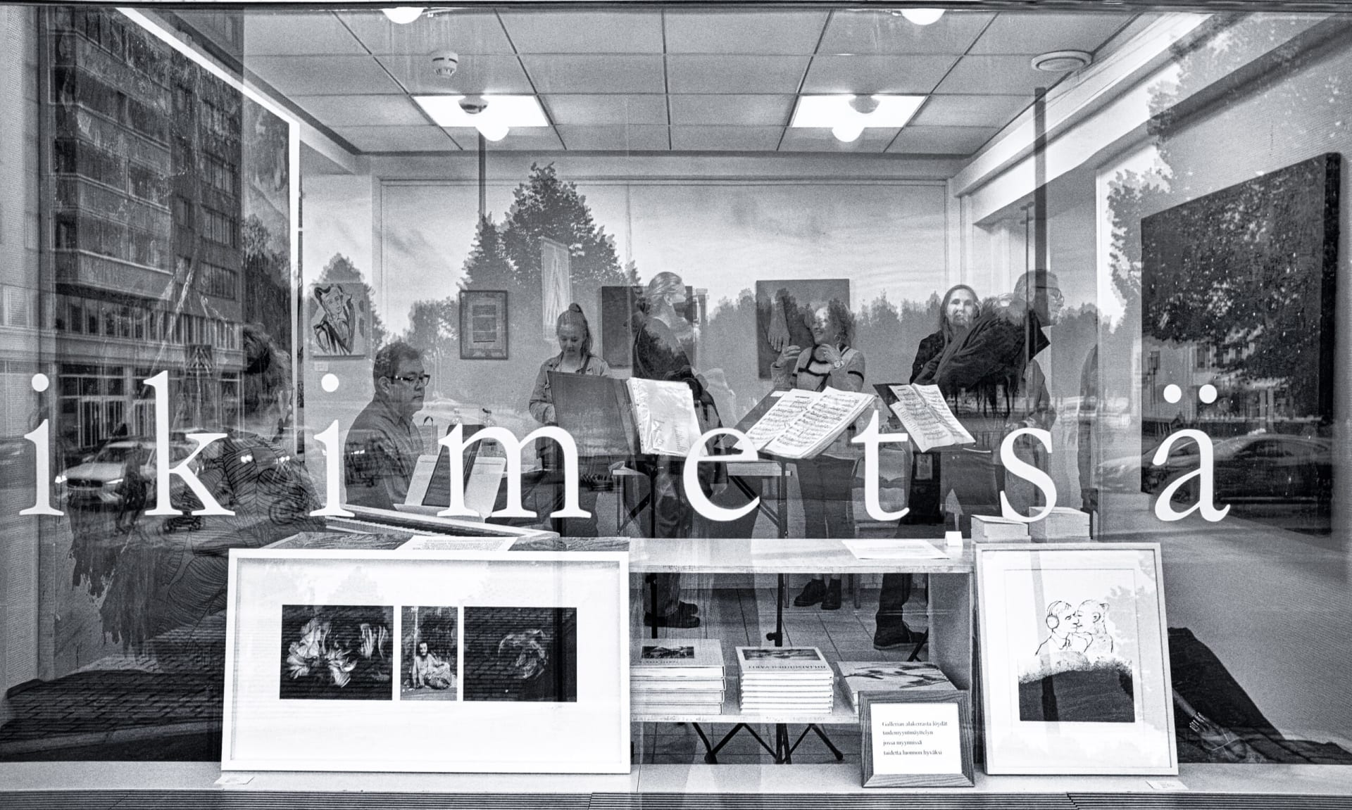
Ikimetsägalleria ja myymälä
Ikimetsä Gallery and Shop combines art and nature conservation...
Read more Ikimetsägalleria ja myymälä -

SFC Vantaan Talli Camping
Vantaan Talli is a year-round camping area located in...
Read more SFC Vantaan Talli Camping -
Appara Experience Centre
Appara Experience Centre is an activity and leisure destination...
Read more Appara Experience Centre -
 Tervetuloa pyöräilijä
Lepaa Winery, Cafeteria and Shop
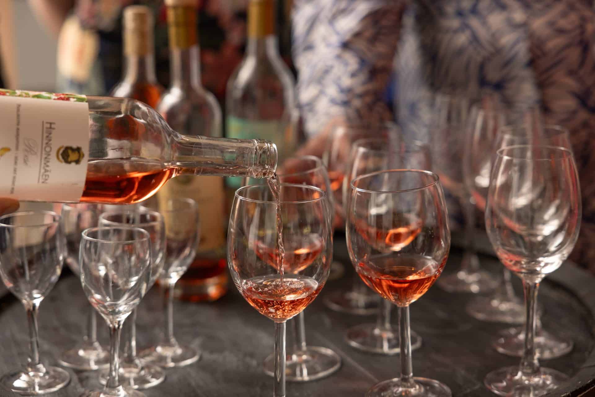
Lepaa Winery is an attractive visitor destination in the...
Read more Lepaa Winery, Cafeteria and Shop -
Harviala Manor
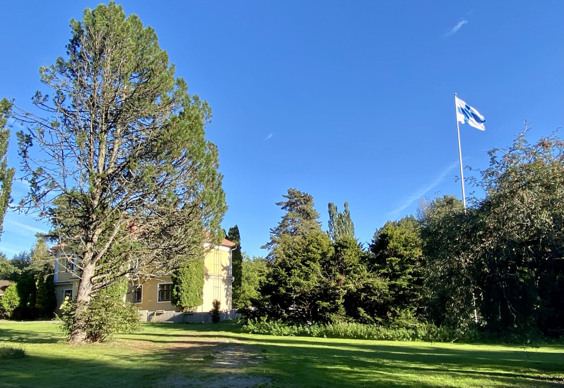
Harviala Manor is located in Janakkala, Turenki. The unique...
Read more Harviala Manor -

Rahitunmäki hill and Rahitunlammi pond
Rahitunlammi is a kettle pond located deep in the...
Read more Rahitunmäki hill and Rahitunlammi pond -
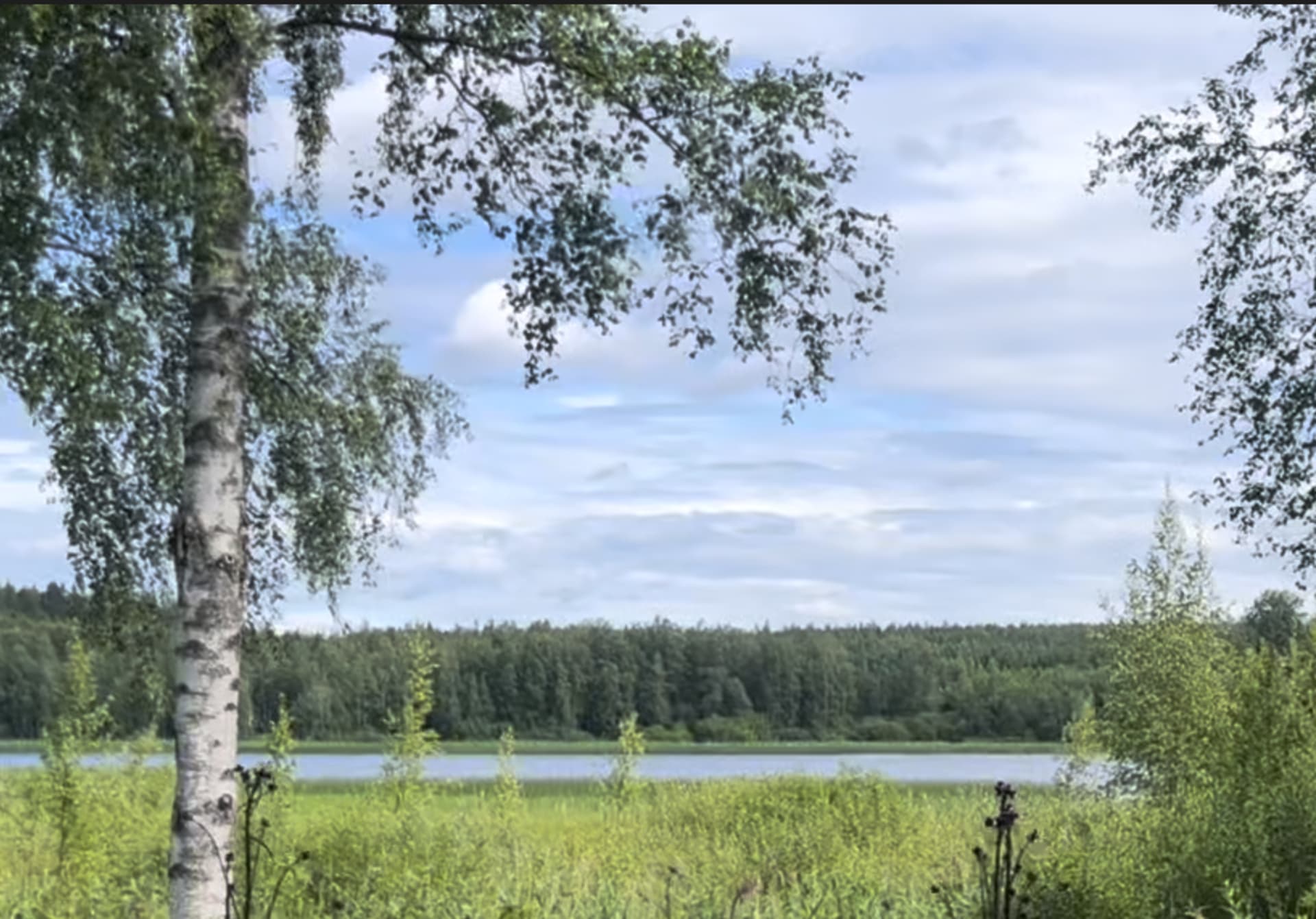
Taika Camping
Idyllic Lakeside Camping in Finnish Woodland. Escape to nature...
Read more Taika Camping -
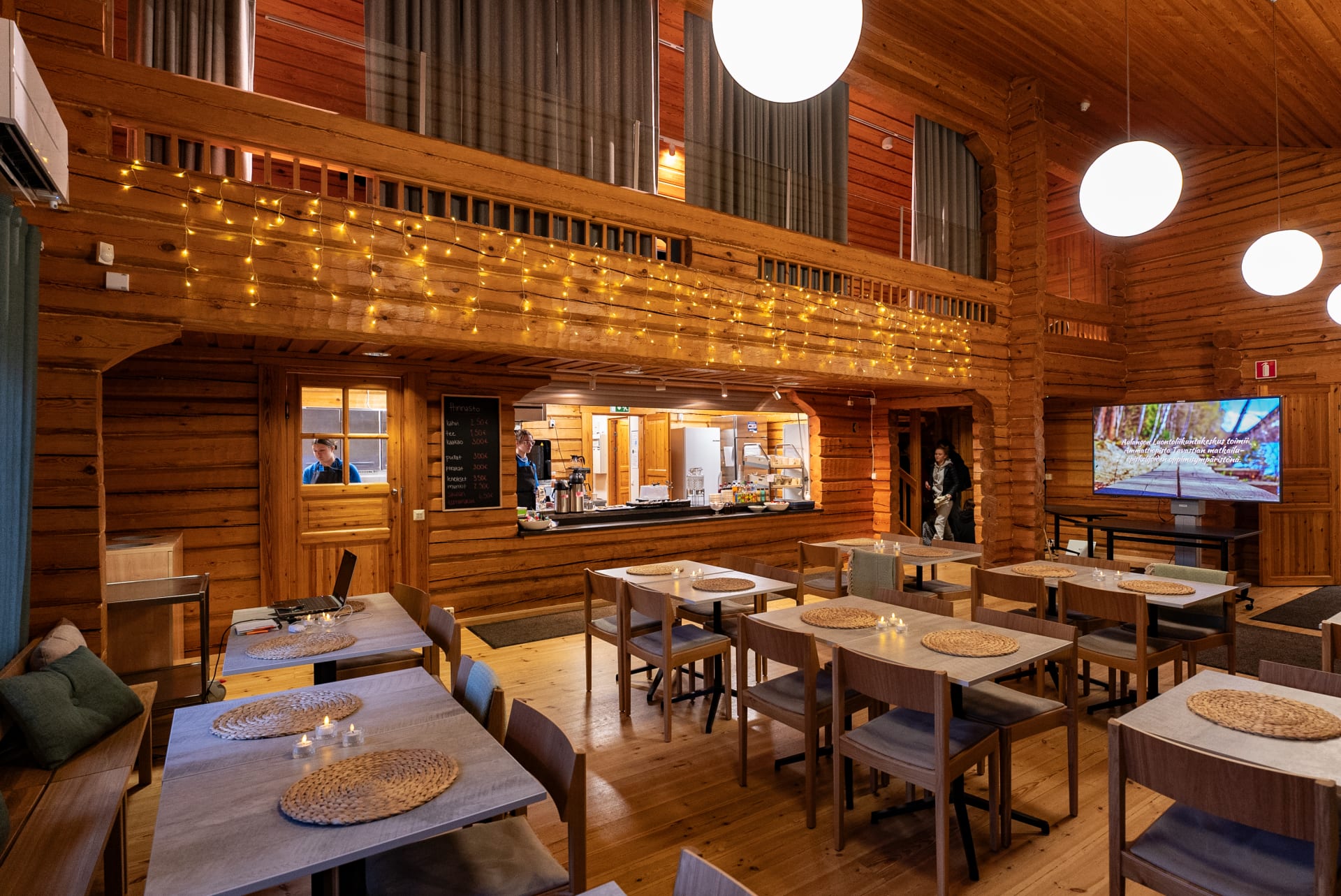
Cafe at Aulanko Nature park
Cafe at Aulanko nature sports centre is a warm...
Read more Cafe at Aulanko Nature park -
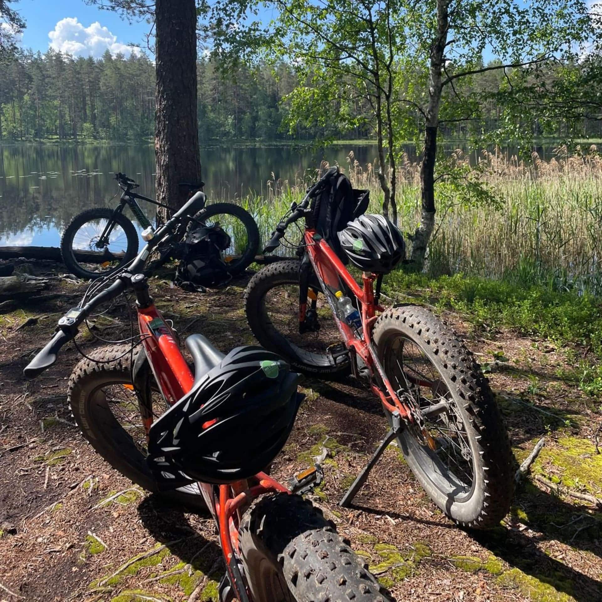
Nature360 Equipment Rental – Aulanko, Hämeenlinna
Nature 360’s equipment rental makes spending time in nature...
Read more Nature360 Equipment Rental – Aulanko, Hämeenlinna -
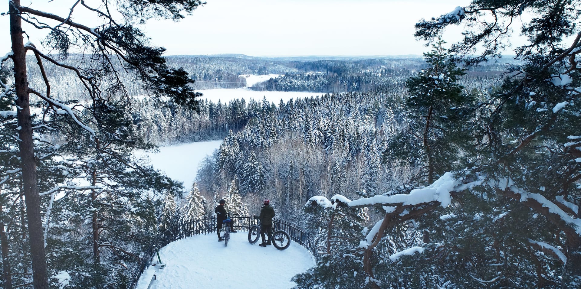
Winter Equipment Rental – Aulanko Nature Reserve, Hämeenlinna
Nature 360’s winter equipment rental makes enjoying winter nature...
Read more Winter Equipment Rental – Aulanko Nature Reserve, Hämeenlinna -
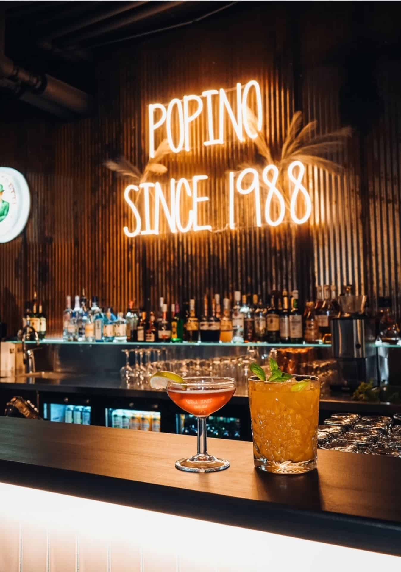
Restaurant Popino
High-quality food made from good ingredients and solid service...
Read more Restaurant Popino -

Lake Mallinkaistenjärvi Hiking Area
The Lake Mallinkaistenjärvi area is a forested recreational area,...
Read more Lake Mallinkaistenjärvi Hiking Area -

Laurinmäki Nature Trails
At the Laurinmäki nature and culture area, history, culture,...
Read more Laurinmäki Nature Trails -
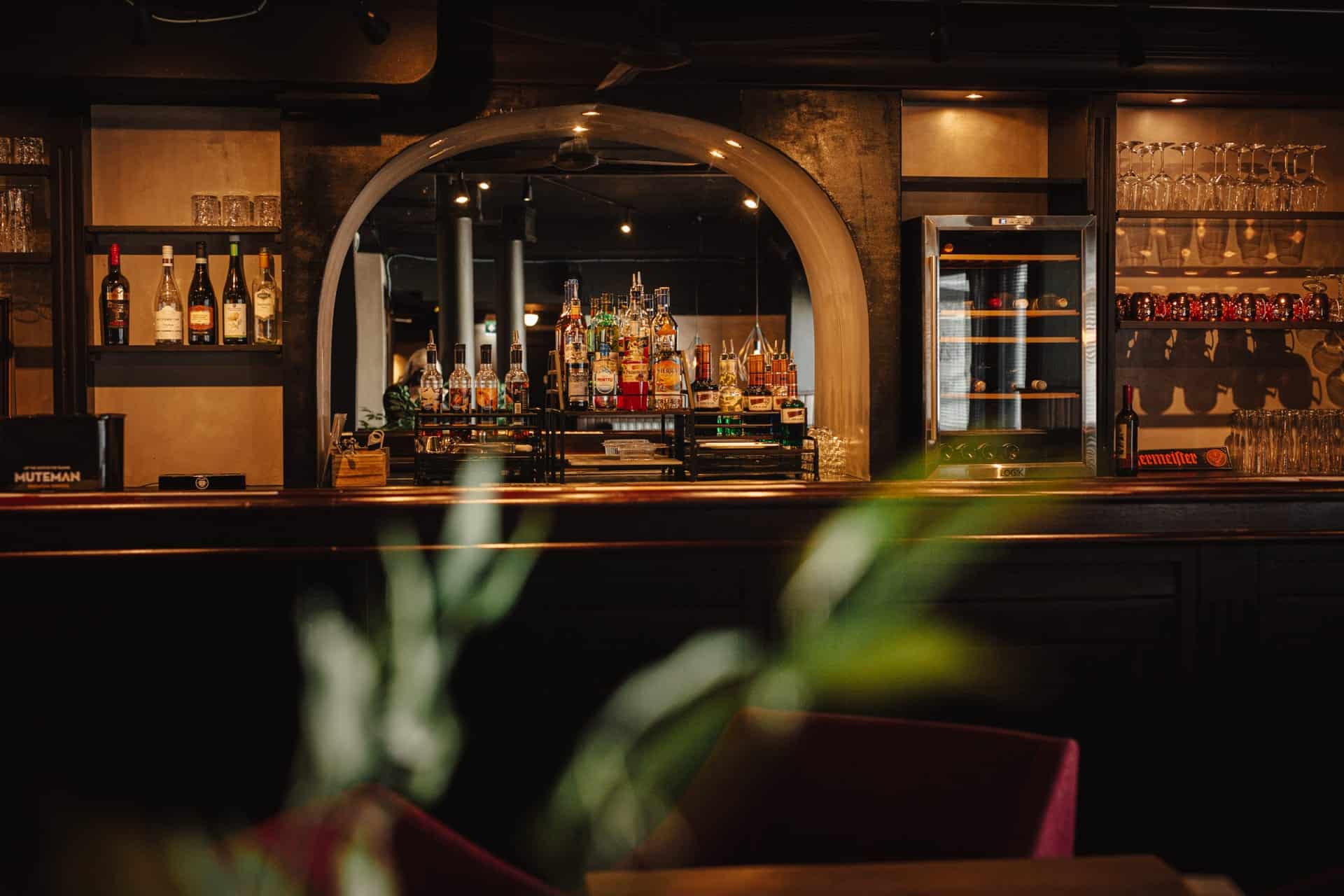
Restaurant Carni
Carni – Hämeenlinna’s Meat Restaurant
Read more Restaurant Carni
Carni is located in the... -

River Floating Cabins
Unique, floating accommodation on the Hiidenjoki river. Whether...
Read more River Floating Cabins -
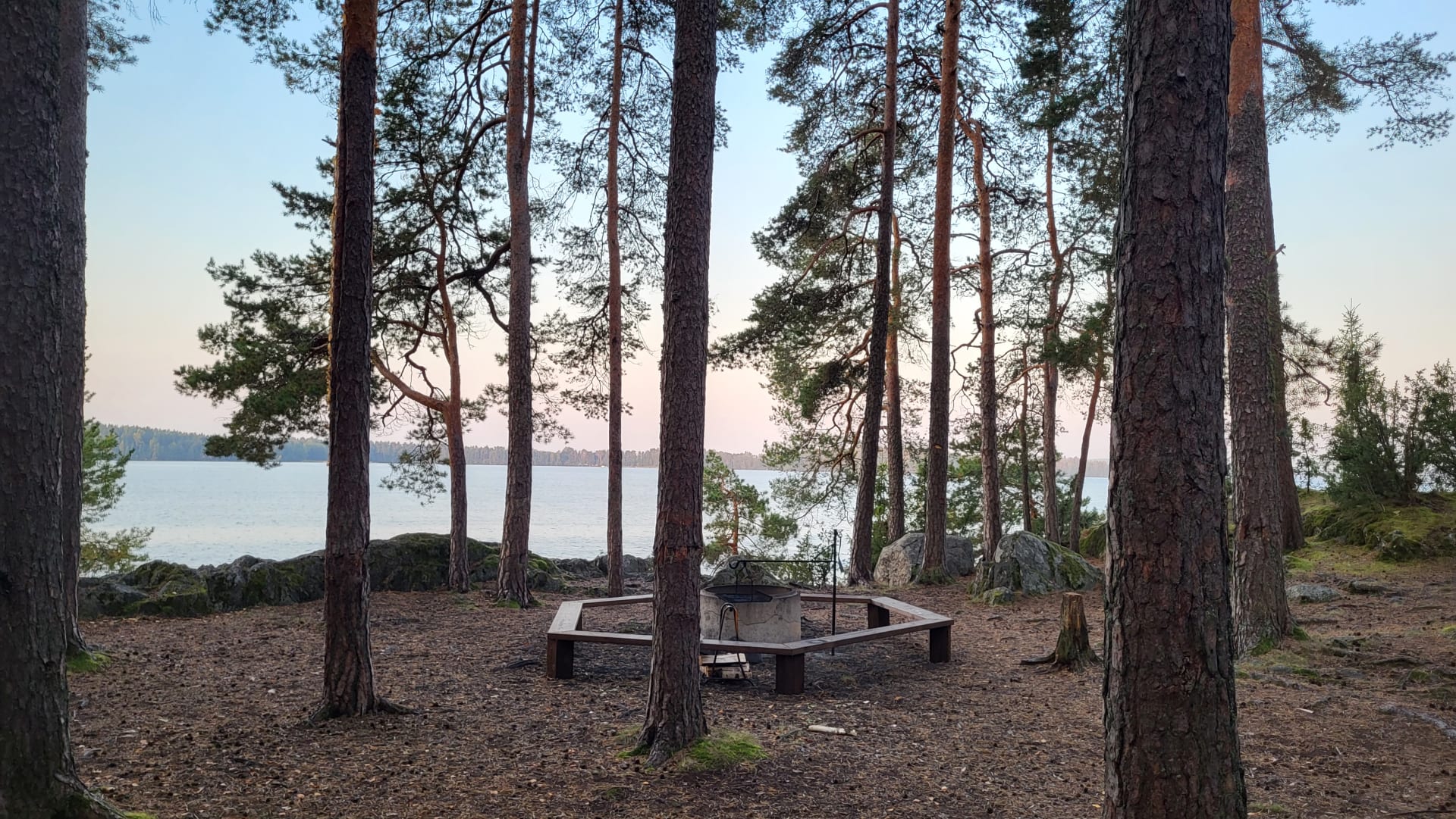
Vanajanniemi Recreation Area
A beautiful headland in its natural state in Hattula,...
Read more Vanajanniemi Recreation Area -
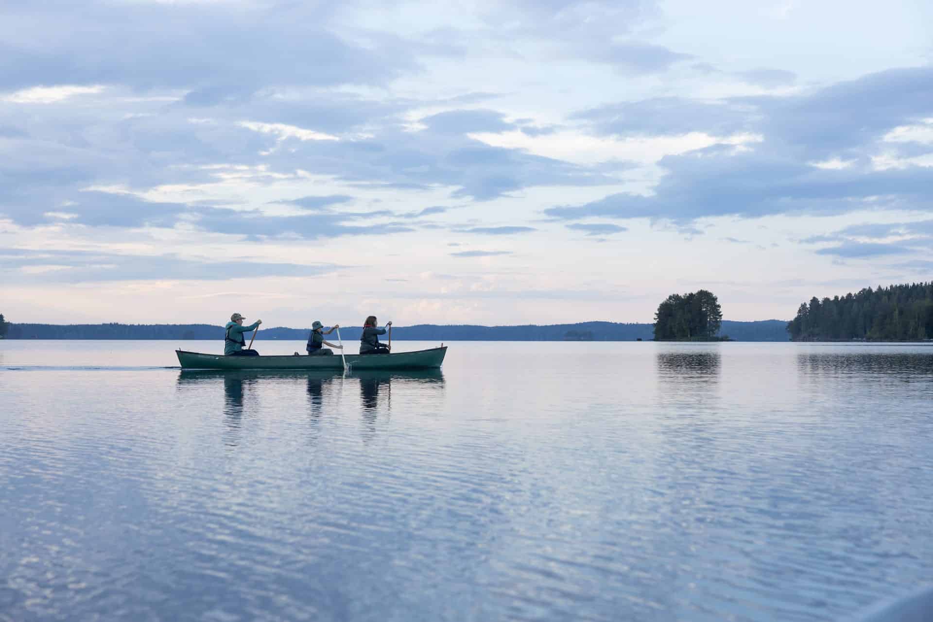
Tervaniemi and Soininsaari Recreation Area
Tervaniemi and Soininsaari Recreation Area is a versatile recreation...
Read more Tervaniemi and Soininsaari Recreation Area -
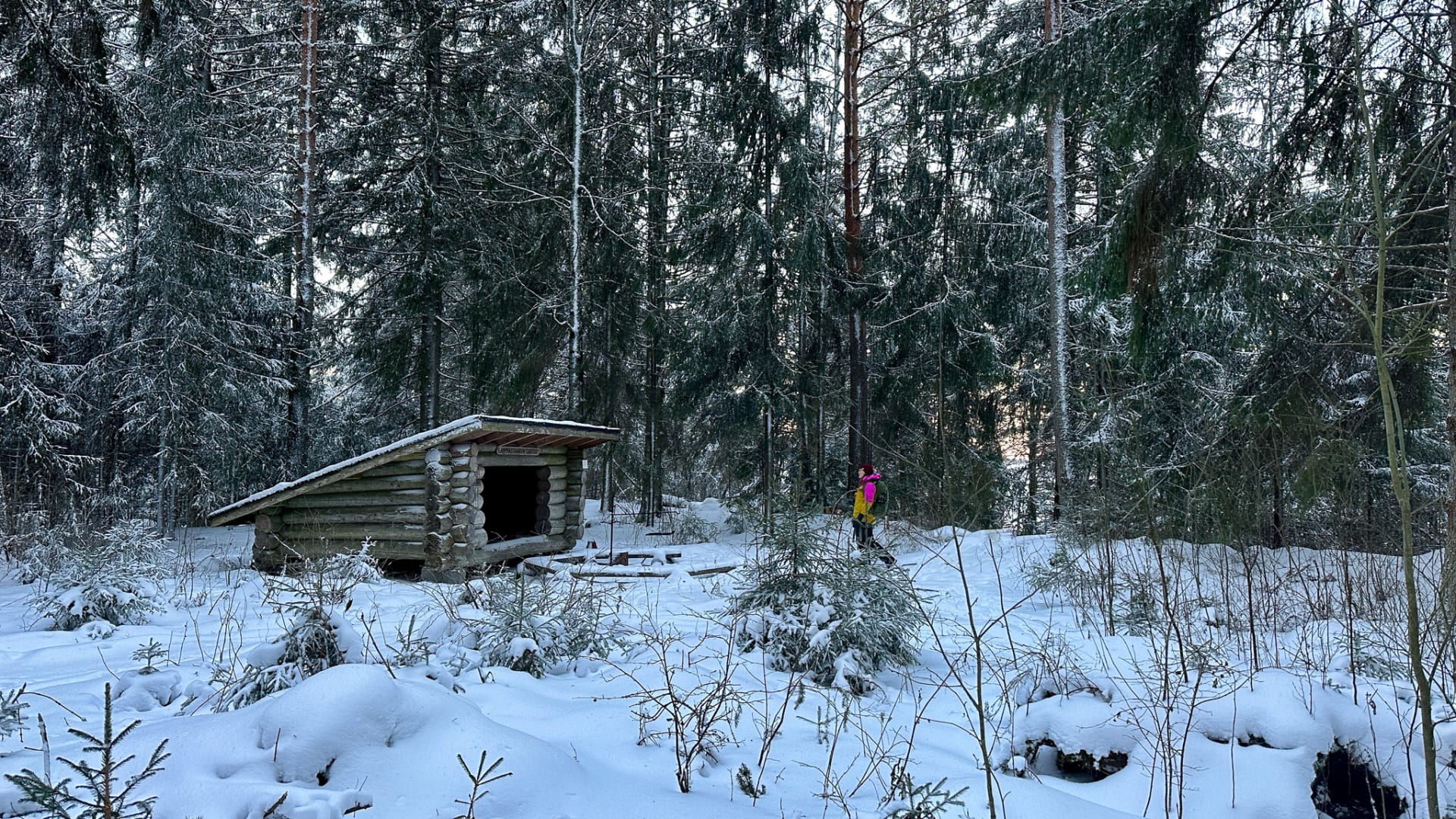
Lammassaari Recreation Area
Lammassaari Nature Recreation Area in the Heinunlahti bay on...
Read more Lammassaari Recreation Area -
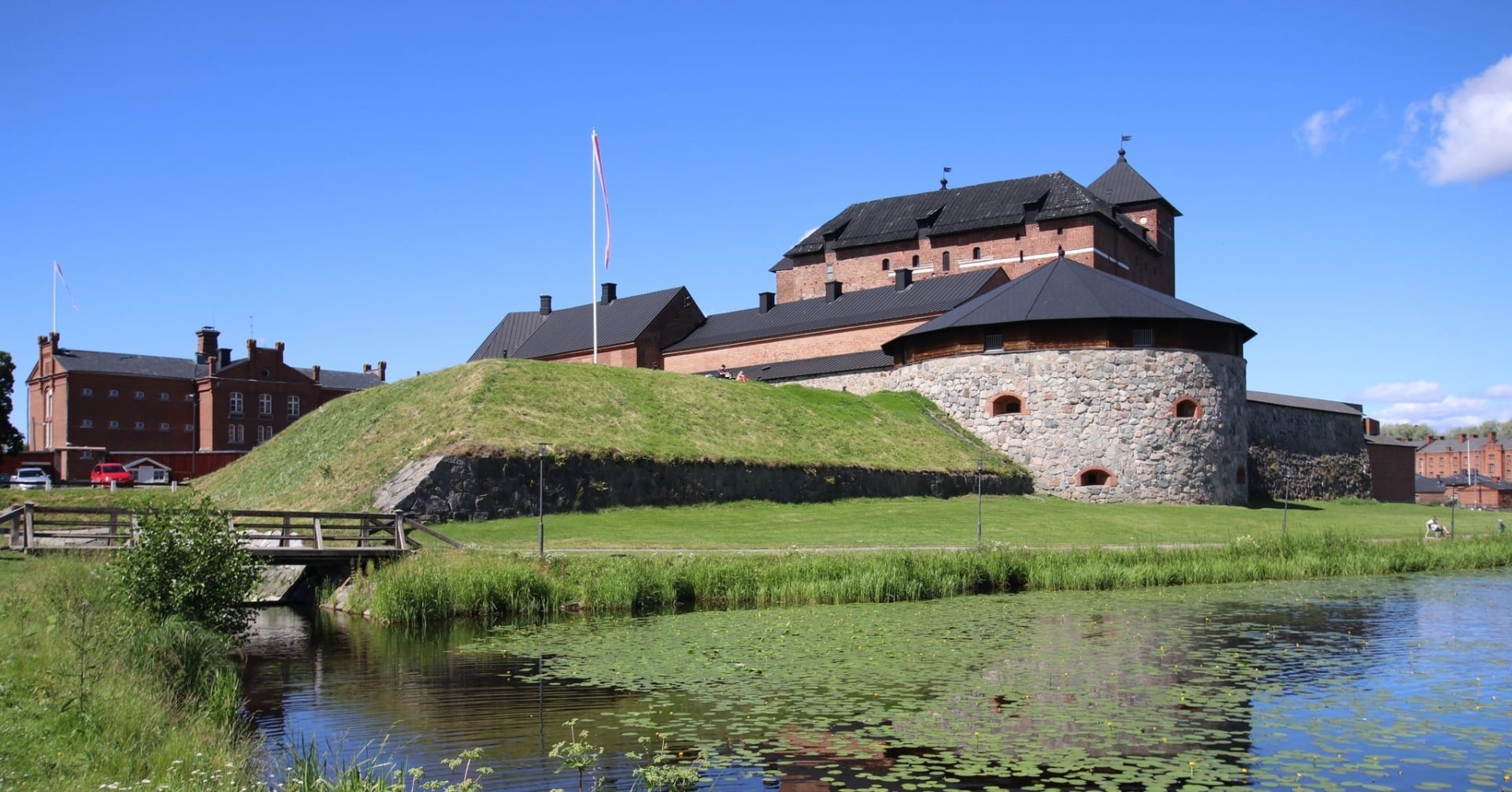
Summer Cafe Crown’s Bakery
Summer Café Crown's Bakery is open in the historic...
Read more Summer Cafe Crown’s Bakery -
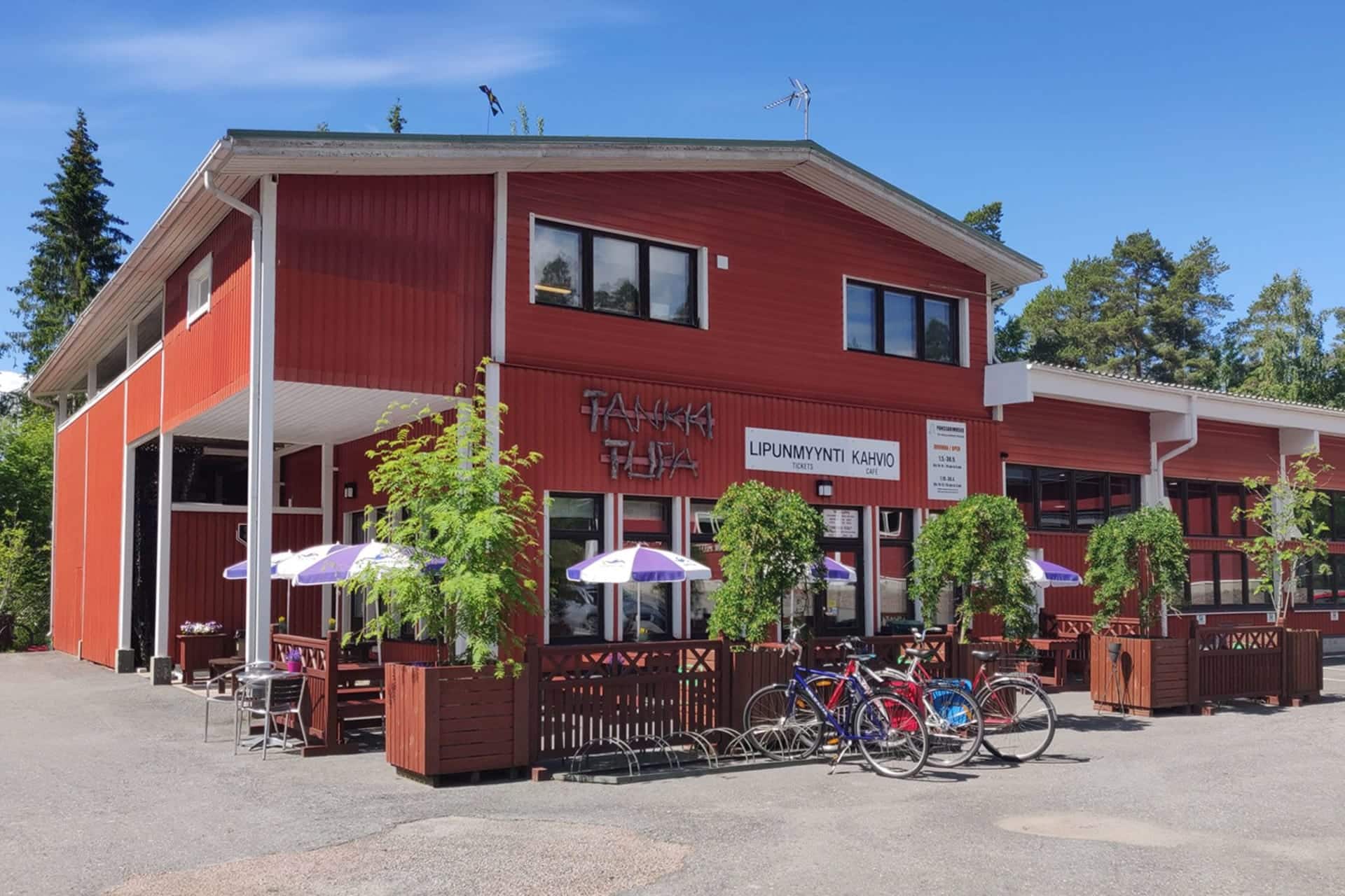
Tankkitupa – Cafeteria
Located in the heart of Häme in Hattula, near...
Read more Tankkitupa – Cafeteria -
Las Palmas Hämeenlinna
Relaxed flavours of the south and karaoke at Raatihuoneenkatu...
Read more Las Palmas Hämeenlinna -
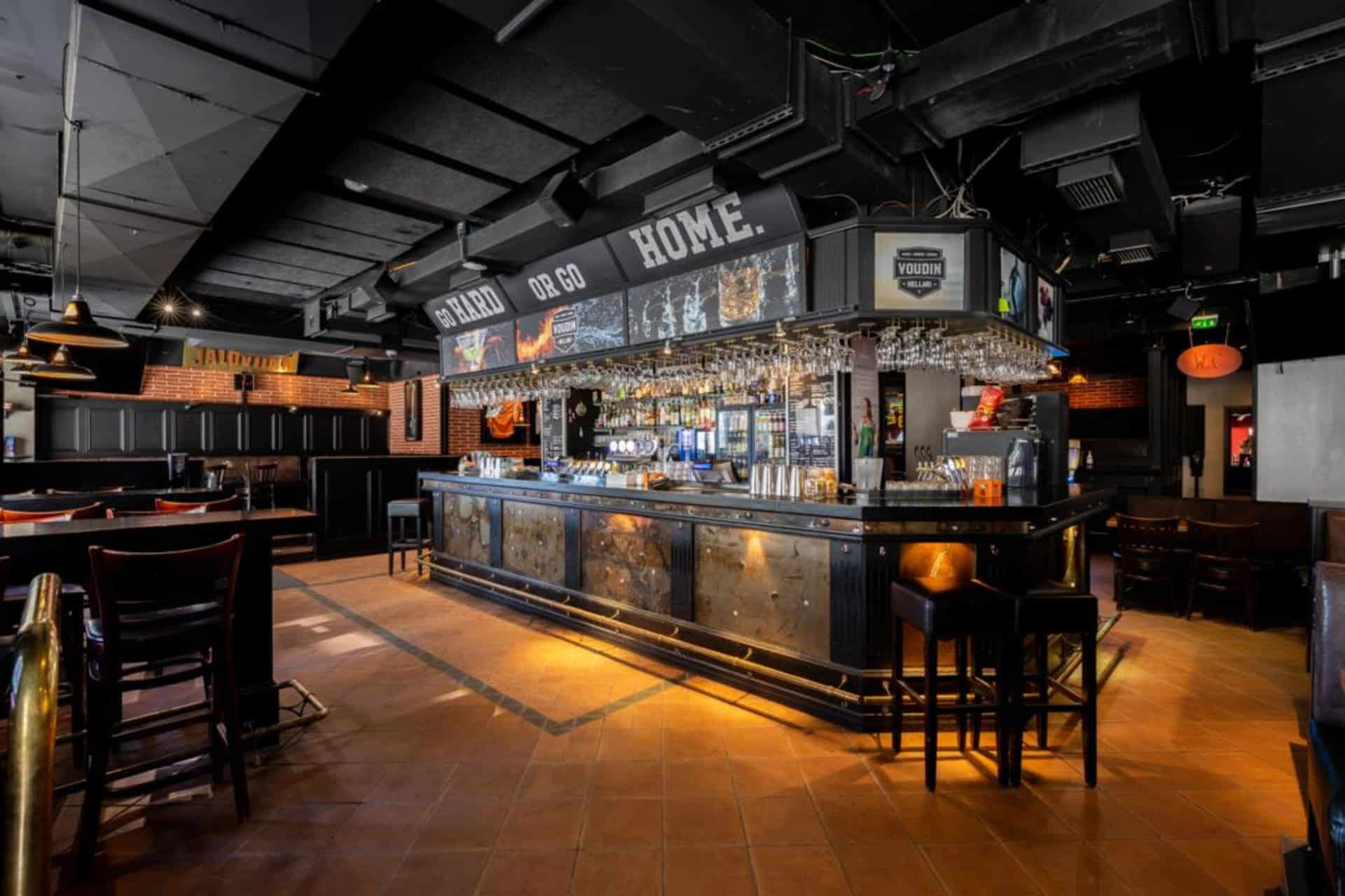
Voudin Kellari Hämeenlinna
MUSIC AND SPORT COME TOGETHER AT VOUTI – YOU...
Read more Voudin Kellari Hämeenlinna -

Restaurant Carl Wilhelm Vanajanlinna
You are warmly welcome to restaurant Carl Wilhelm in...
Read more Restaurant Carl Wilhelm Vanajanlinna -
 Tervetuloa pyöräilijä
Wisahovi Banquet Hall
Wisahovi Banquet hall is a venue for private parties....
Read more Wisahovi Banquet Hall -
 Tervetuloa pyöräilijäSustainable Travel Finland
Scandic Aulanko
A fabulous conference and spa hotel that caters to...
Read more Scandic Aulanko -

Hämeenlinna Art Museum
The wonderful Hämeenlinna Art Museum is located in the...
Read more Hämeenlinna Art Museum -
 Tervetuloa pyöräilijä
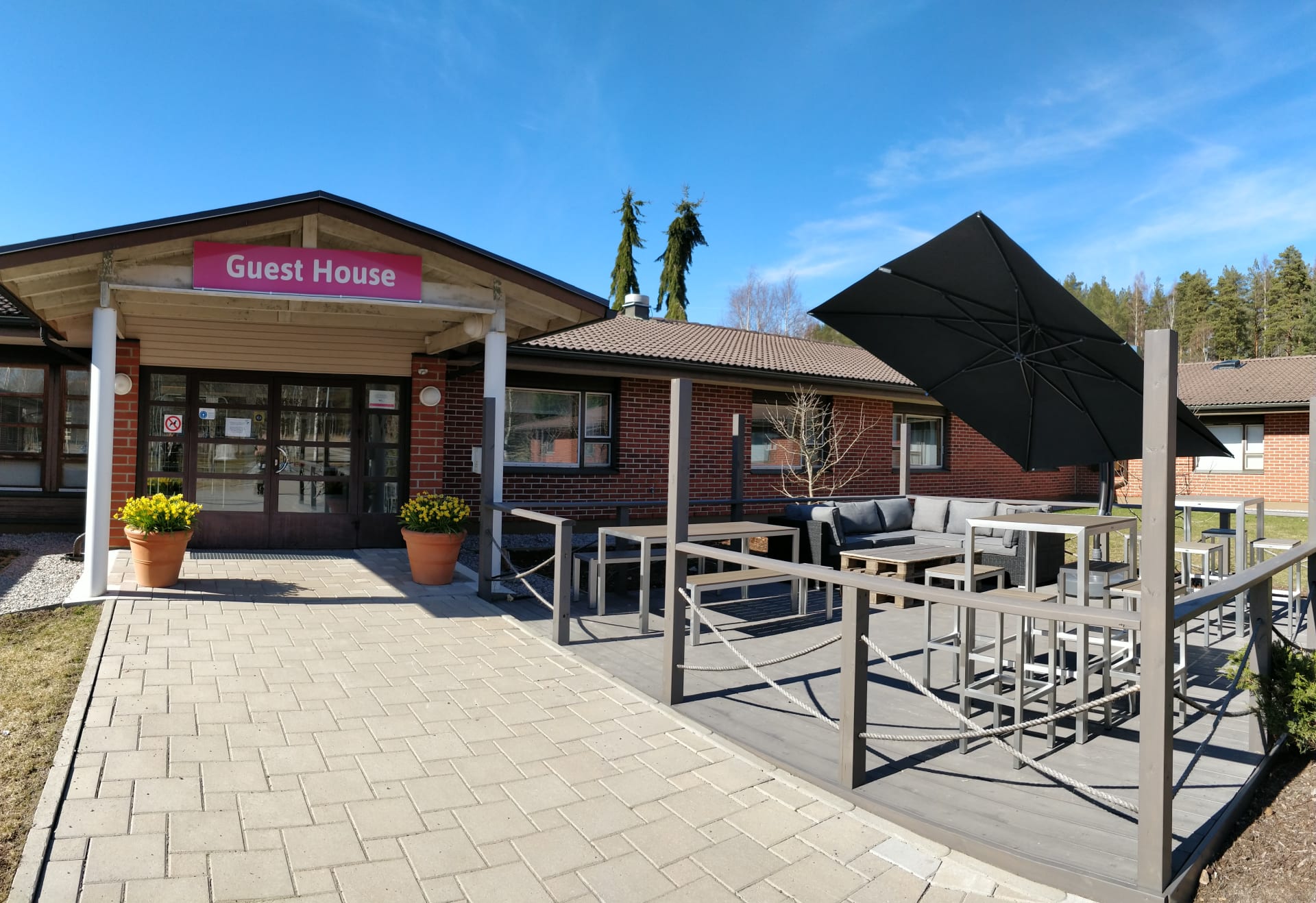
Kiipula Guest House
At Kiipula’s main campus in Janakkala, you’ll find several...
Read more Kiipula Guest House -
 Sustainable Travel Finland
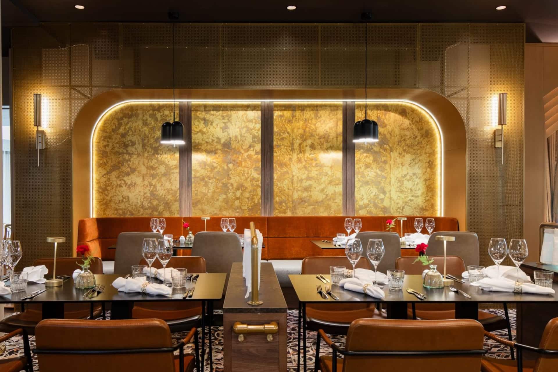
Restaurant Le Blason
Le Blason brings a whiff of fragrant herbs and...
Read more Restaurant Le Blason -
 Sustainable Travel Finland
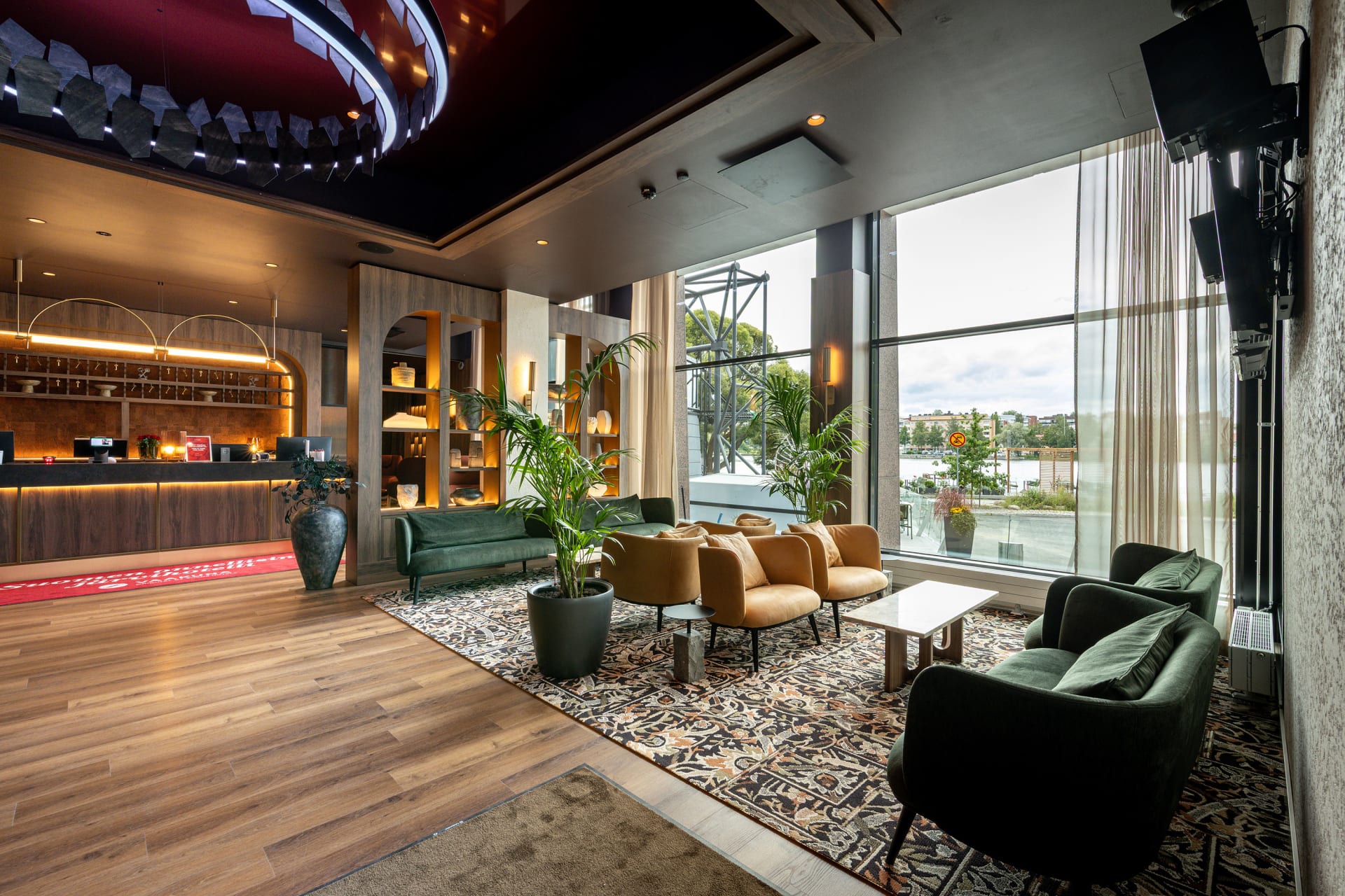
Original Sokos Hotel Vaakuna, Hämeenlinna
Original Sokos Hotel Vaakuna, Hämeenlinna - The happiest lake...
Read more Original Sokos Hotel Vaakuna, Hämeenlinna -
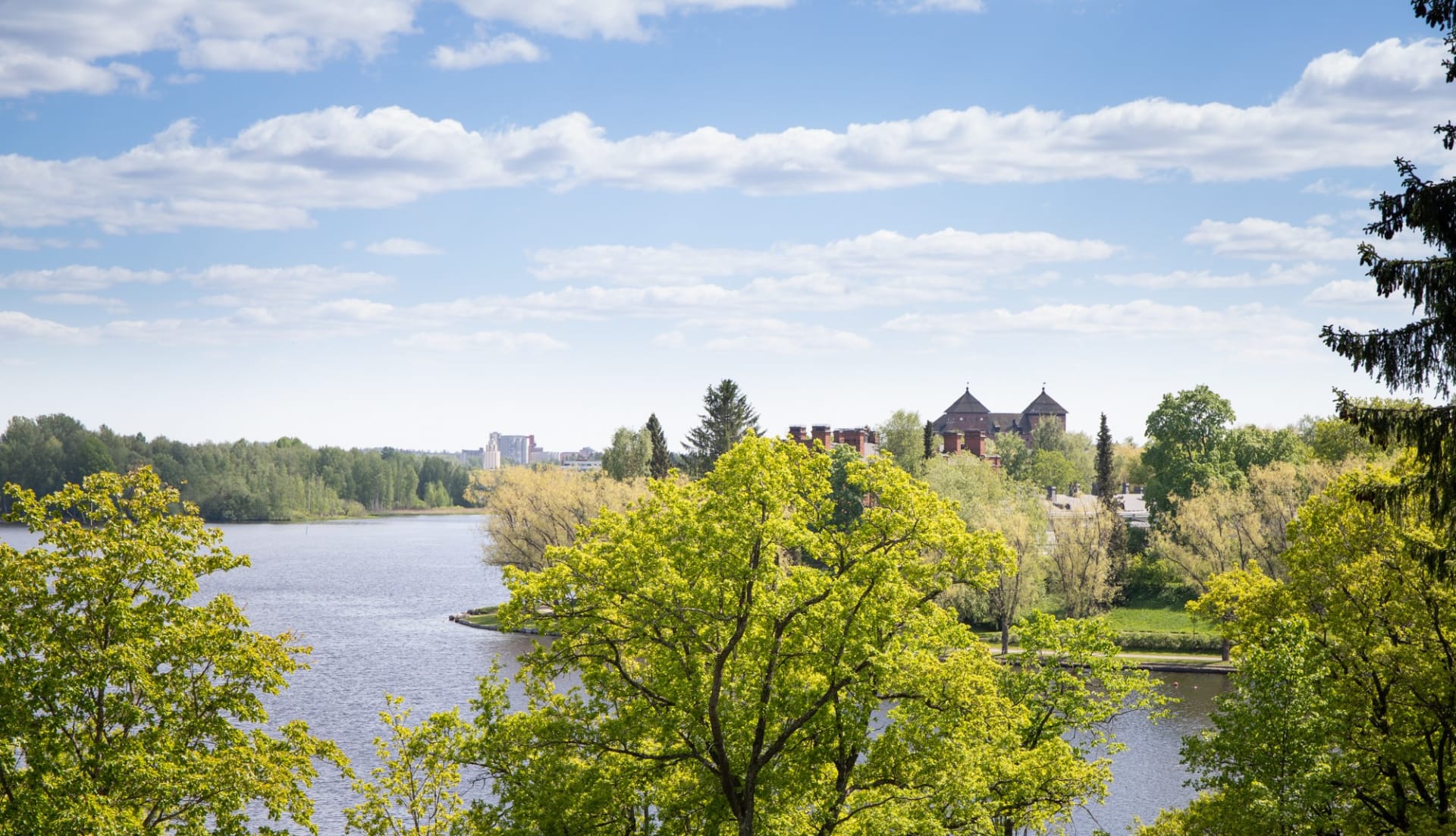
Hämeenlinna National Urban Park
The very first NUP in Finland is a ‘show...
Read more Hämeenlinna National Urban Park -

Miller’s BBQ
Barbecue restaurant in the cozy setting of Hämeenlinna's Kruununmylly...
Read more Miller’s BBQ -

Svenni Eatery Hämeenlinna
Come and enjoy our atmospheric cerllar restaurant!
Read more Svenni Eatery Hämeenlinna
Svenni Eatery is... -

Ahvenisto Outdoor and Nature Reserve
Ahvenisto Ridge area is a popular outdoor district in...
Read more Ahvenisto Outdoor and Nature Reserve -

Aulanko Nature Reserve
Aulanko has been a popular destination with visitors for...
Read more Aulanko Nature Reserve -

Accommodation at Tiirinkosken Tehdas
Accommodation at Tiirinkoski
Read more Accommodation at Tiirinkosken Tehdas
Have you always wanted to stay in... -

Tervakoski Church
The idyllic, small wooden church of Tervakoski was built...
Read more Tervakoski Church -

Tiirinkoski Factory
Located in Hämeenlinna, the Tiirinkoski factory exudes a warm...
Read more Tiirinkoski Factory -

Panssarimuseo – The Parola Armour Museum
Located in the heart of Häme in Hattula, near...
Read more Panssarimuseo – The Parola Armour Museum -

Aulanko Lakeside
THE AULANKO LAKESIDE consists of four buildings and offers...
Read more Aulanko Lakeside -
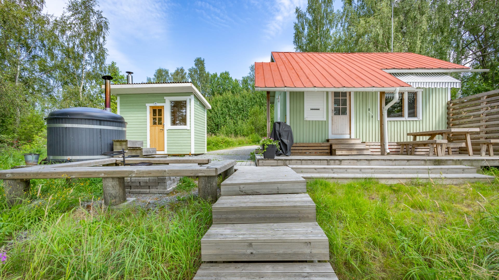
Aulanko Lake Hide-out
The Aulanko Lake Hide-out is an accommodation complex located...
Read more Aulanko Lake Hide-out -

Hotel Vanajanlinna
Hotel Vanajanlinna in Hämeenlinna is a full-service hotel and...
Read more Hotel Vanajanlinna -

Tervakosken Tervaniemi Cabin Village
Cozy cottage accommodation in a peaceful forest and lake...
Read more Tervakosken Tervaniemi Cabin Village -

Wetterhoff House
Wetterhoff House is a combination of traditional craftsmanship and...
Read more Wetterhoff House -

Sibelius Forest
Sibelius Forest is a nature reserve of approximately 100...
Read more Sibelius Forest -

Holy Cross Church in Hattula
Holy Cross Church in Hattula serves as one of...
Read more Holy Cross Church in Hattula -

Skogster Museum
Skogster Museum is the main location of Hämeenlinna City...
Read more Skogster Museum -

Sibelius Park in Hämeenlinna
Sibelius Park is a beautiful small park located in...
Read more Sibelius Park in Hämeenlinna -

Museo Militaria – The Artillery, Engineer and Signals Museum of Finland
Museo Militaria is a war history museum showcasing the...
Read more Museo Militaria – The Artillery, Engineer and Signals Museum of Finland -

B & B Matin ja Maijan Majatalo
In our hospitable bed and breakfast, You will be...
Read more B & B Matin ja Maijan Majatalo -

Studio Kino Riitta
Art Gallery nearby beautiful nature thrue the year. Movie...
Read more Studio Kino Riitta -

Vanai Bistro & Bastu Restaurant
Vanai Bistro & Bastu is a family business that...
Read more Vanai Bistro & Bastu Restaurant -

Scandic Hämeenlinna City
A cosy and versatile hotel in the best location...
Read more Scandic Hämeenlinna City -

Aulanko Lake Villa
AULANKO LAKE VILLA is the centre of tranquillity with...
Read more Aulanko Lake Villa -

Café Kukko, Hämeenlinna
We at Café Kukko want to bring more great...
Read more Café Kukko, Hämeenlinna -

Pub Albertin Kellari
Pub Albertin Kellari, located in the basement of the...
Read more Pub Albertin Kellari -

Honkalanranta Nature Reserve
Honkalanranta is a private nature reserve located on the...
Read more Honkalanranta Nature Reserve -

Vanajanlinna Restaurant
Vanajanlinna in Hämeenlinna is a full-service hotel, restaurant and...
Read more Vanajanlinna Restaurant -
 Tervetuloa pyöräilijä
Myllytalo
Myllytalo (Finnish for Millhouse) is located in Hämeenlinna, just...
Read more Myllytalo -

Laurinmäki Crofter’s Museum
Laurinmäki area is a true treasure filled with history,...
Read more Laurinmäki Crofter’s Museum -

Aulanko Outdoors Equipment Rental
Sports equipment rental at Aulanko, Hämeenlinna.
Read more Aulanko Outdoors Equipment Rental
Want to explore... -

Aulanko Grand Villa
AULANKO GRAND VILLA is located in Aulanko Peace Area...
Read more Aulanko Grand Villa -

Restaurant Piparkakkutalo
Restaurant Piparkakkutalo is located in a historical house. The...
Read more Restaurant Piparkakkutalo -

Birthplace of Jean Sibelius
Discover the first twenty years of famous composers life...
Read more Birthplace of Jean Sibelius -

Aulangon Tornikahvila
Lookout Cafe Aulanko - an oasis in the national...
Read more Aulangon Tornikahvila -
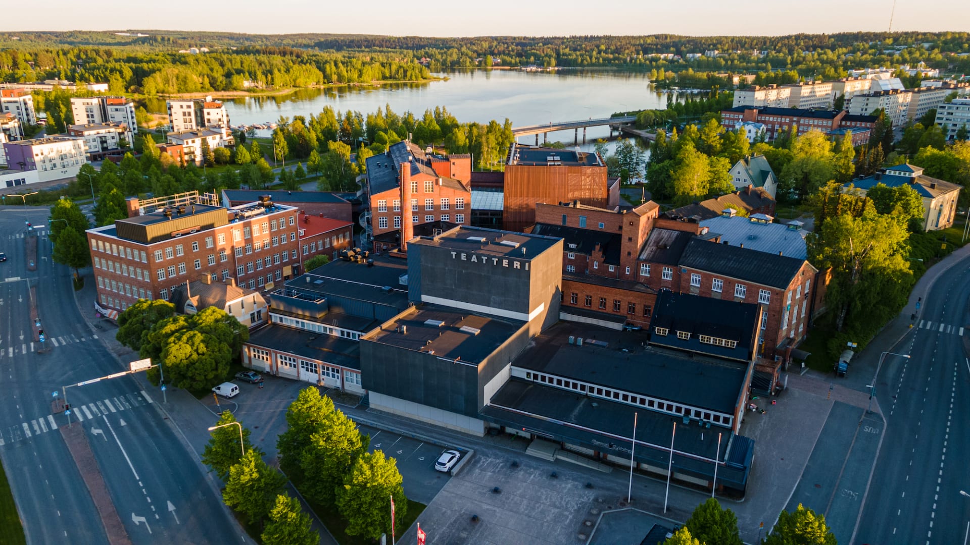
Hämeenlinna Theater
The 125-year-old Hämeenlinna Theatre offers a distinctive and artistically...
Read more Hämeenlinna Theater -

Rantakasino, Summer Restaurant
Famous summer restaurant in the heart of Hämeenlinna, by...
Read more Rantakasino, Summer Restaurant -

Villa Springrock
VILLA SPRINGROCK is a unique multifunctional villa located in...
Read more Villa Springrock -

Aulanko Tower
Aulangonvuori Hill is dominated by a 33-metres-tall granite tower...
Read more Aulanko Tower -

Verkatehdas Restaurant
Verkatehdas Restaurant is a versatile restaurant located in Verkatehdas...
Read more Verkatehdas Restaurant -

Fifth Avenue Diner
Make a journey through the USA with us. FA-restaurant...
Read more Fifth Avenue Diner -

Church of St. Lawrence
The Church of St. Lawrence is the youngest medieval...
Read more Church of St. Lawrence -

Galleria Paperihuone
Galleria Paperihuone is an art gallery located in the...
Read more Galleria Paperihuone


More nature sites
-
 array(0) {
}
cooking facilities
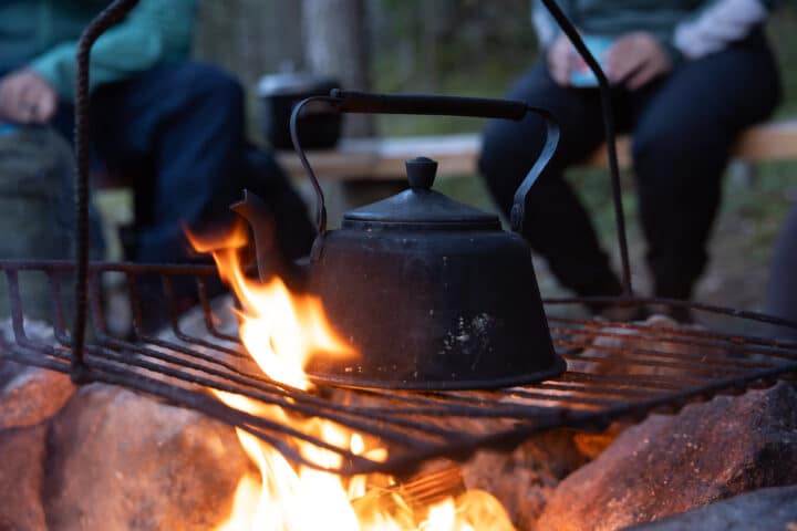
Vähäniemi campfire site
Laivarannantie , Hämeenlinna
Take a break in the lake scenery and sit by the campfire. There is a wood supply at the...
Read more about the nature activity Vähäniemi campfire site -
array(0) {
}
cooking facilities
Rehakanjärvi grill shelter
Rehakantie 571 , Janakkala
Read more about the nature activity Rehakanjärvi grill shelter -
 array(0) {
}
ski track
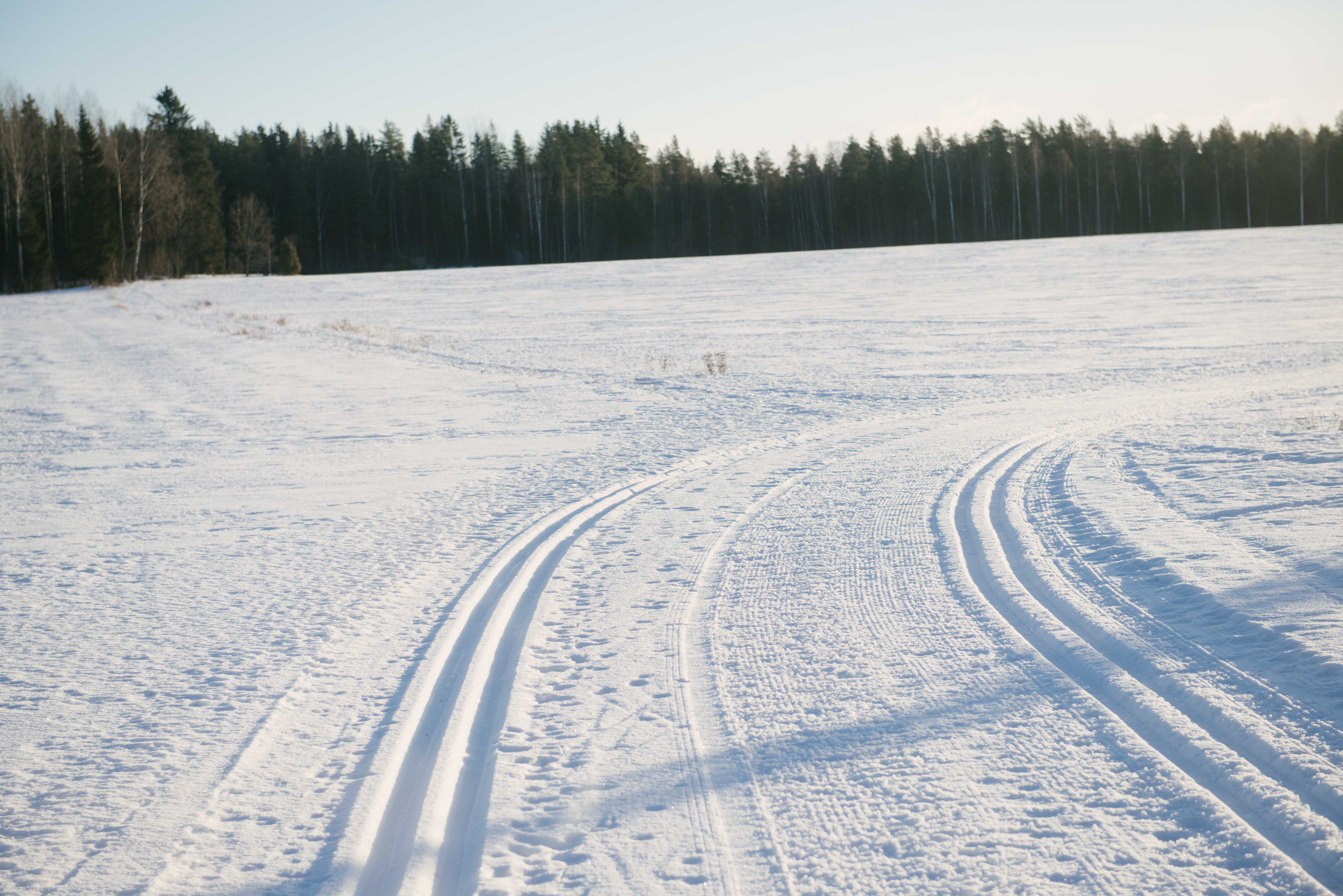
Ski Trail Hikiä-Oitti
Sahantie 12 ja Hikiäntie 223 , Hausjärvi
Read more about the nature activity Ski Trail Hikiä-Oitti -
 array(0) {
}
point
Dry toilet in the Komio Nature Reserve
Accessible dry outdoor toilet. There is no toilet paper in the toilets. You are advised to carry toilet paper...
Read more about the nature activity Dry toilet in the Komio Nature Reserve