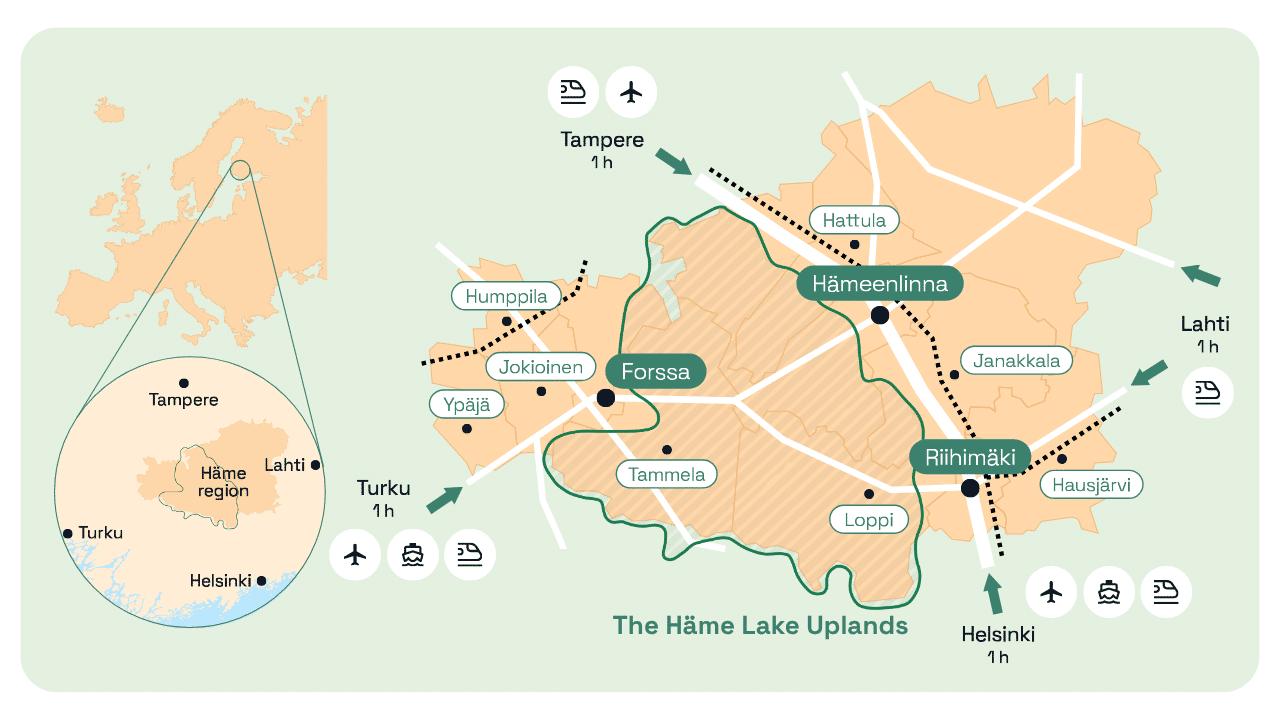
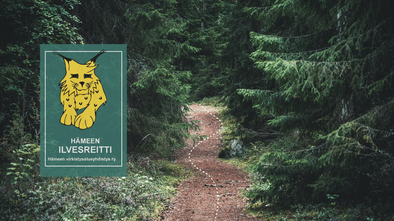
Häme
HämeThe Häme Lynx Trail is the longest hiking trail network in Southern Finland. It connects the most beautiful natural sites of the Häme Lake Uplands into one continuous route from national parks to lakeshores, from rugged cliffs to peaceful open bog landscapes.
The trail stretches over 250 kilometres through the scenic lake uplands of Häme. It passes through the areas of Hattula, Hämeenlinna, Loppi, Tammela and Riihimäki, linking together the region’s most important natural and cultural attractions. Parts of the trail also follow the historic Häme Ox Road, which dates back to the Viking Age.
A versatile trail for hiking, trail running and mountain biking
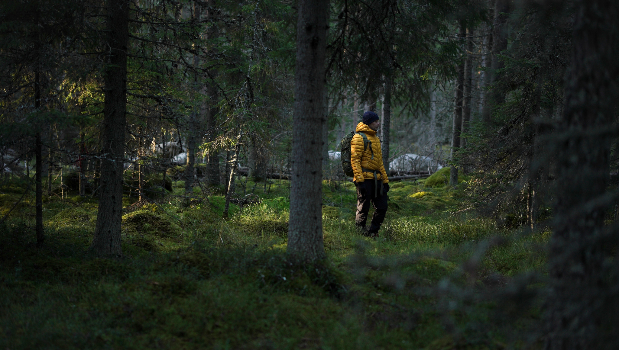
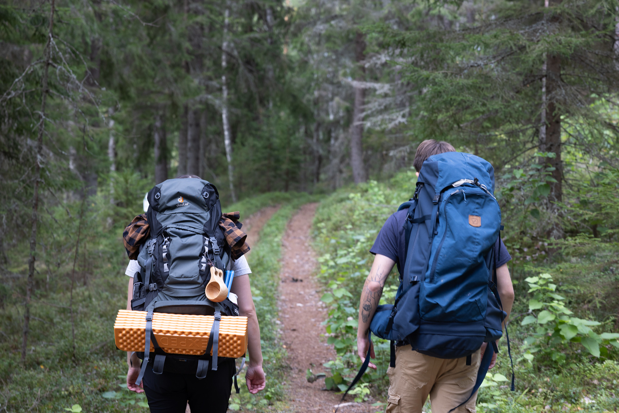
Whether you are planning a relaxed day trip with family or a more challenging multi-day hike, the Häme Lynx Trail suits many kinds of outdoor activities. The trail is also well suited for trail running, and some sections are suitable for mountain biking.
You can hike the entire trail from end to end as a long-distance journey, or choose from several circular routes for shorter day trips.
Length
250 km
Season
Spring, summer, autumn
Terrain
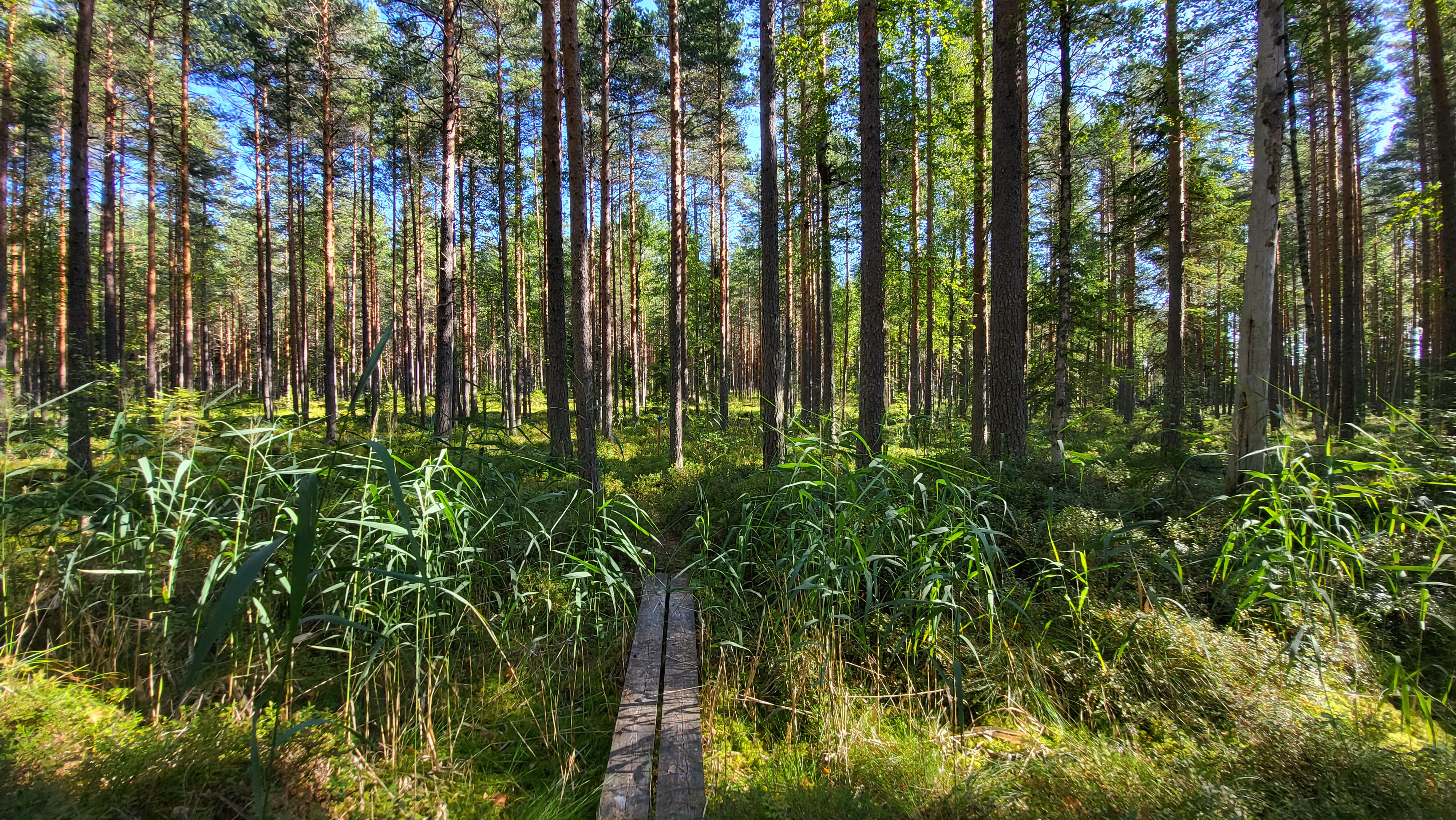
Path, duckboards and gravel roads
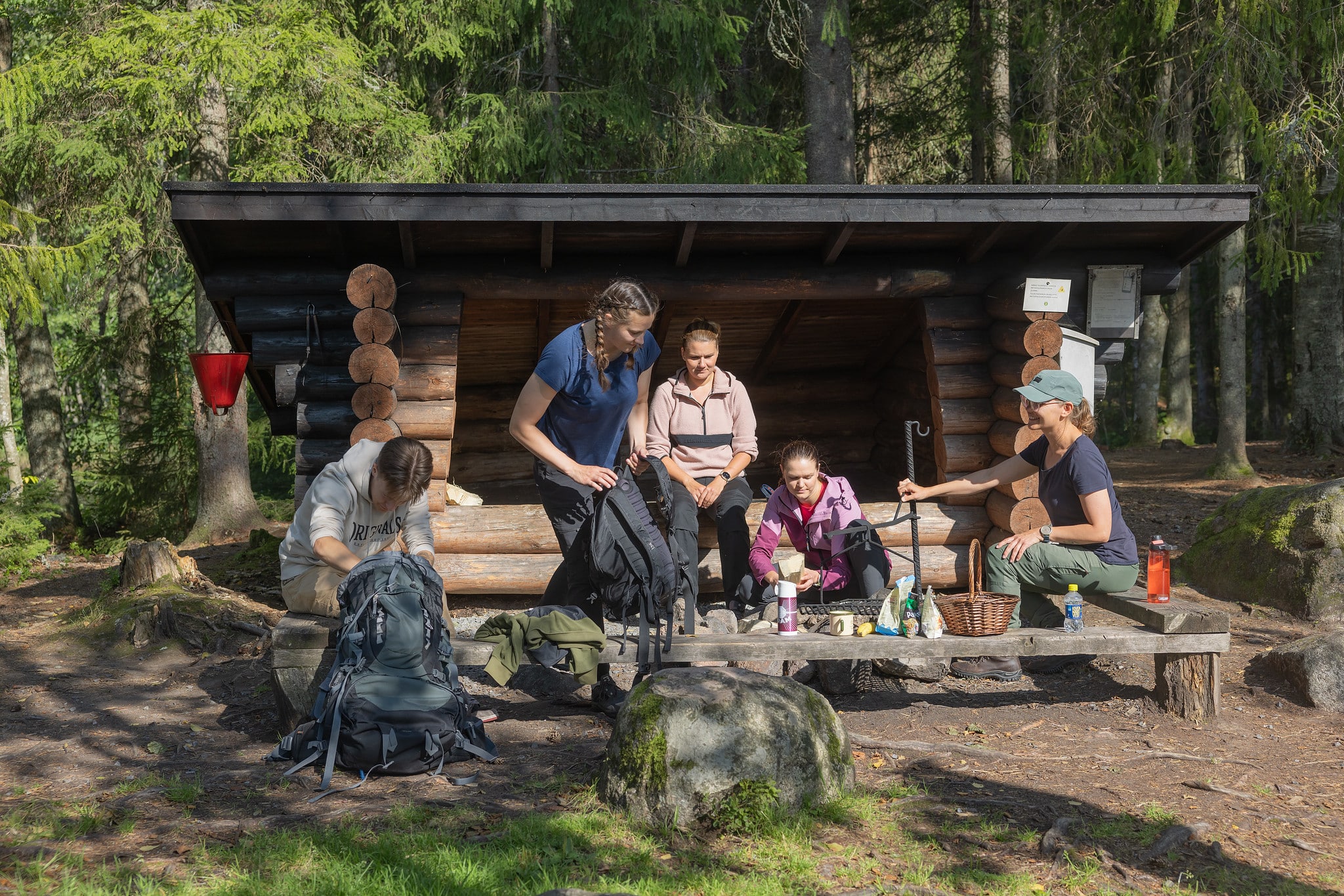
Rest spots
Lean-to shelters, campsites and cabins
A regional trail network in Häme
The trail network was built between 2007 and 2010 as a cooperation project between the Regional Council of Häme, the Häme Nature Recreation Area Association and the municipalities where the trail runs. Its aim was to connect recreational and protected areas across three urban regions. The latest section between Hattula and Hämeenlinna was completed at the end of 2023, making the trail a continuous route.
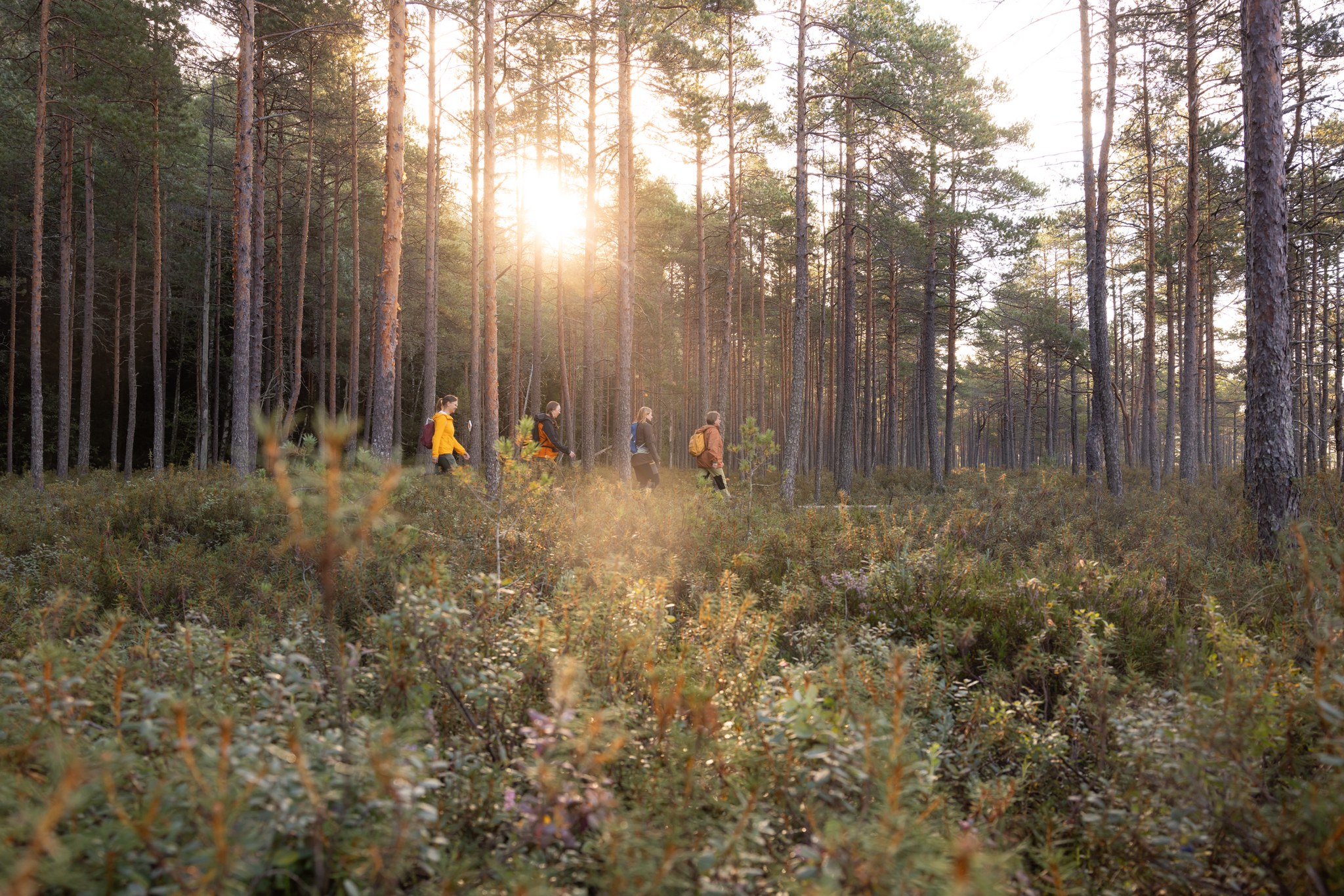
Along the trail, you can experience the diverse nature of Häme: forests, wetlands, eskers of the Salpausselkä ridge, lakes, cliffs and meadows. Some of the best-known destinations along the route include Tenhola hillfort in Hattula, the Ahvenisto Nature Reserve in Hämeenlinna, Liesjärvi and Torronsuo National Parks, Saari Folk Park, and Riutta in Riihimäki.
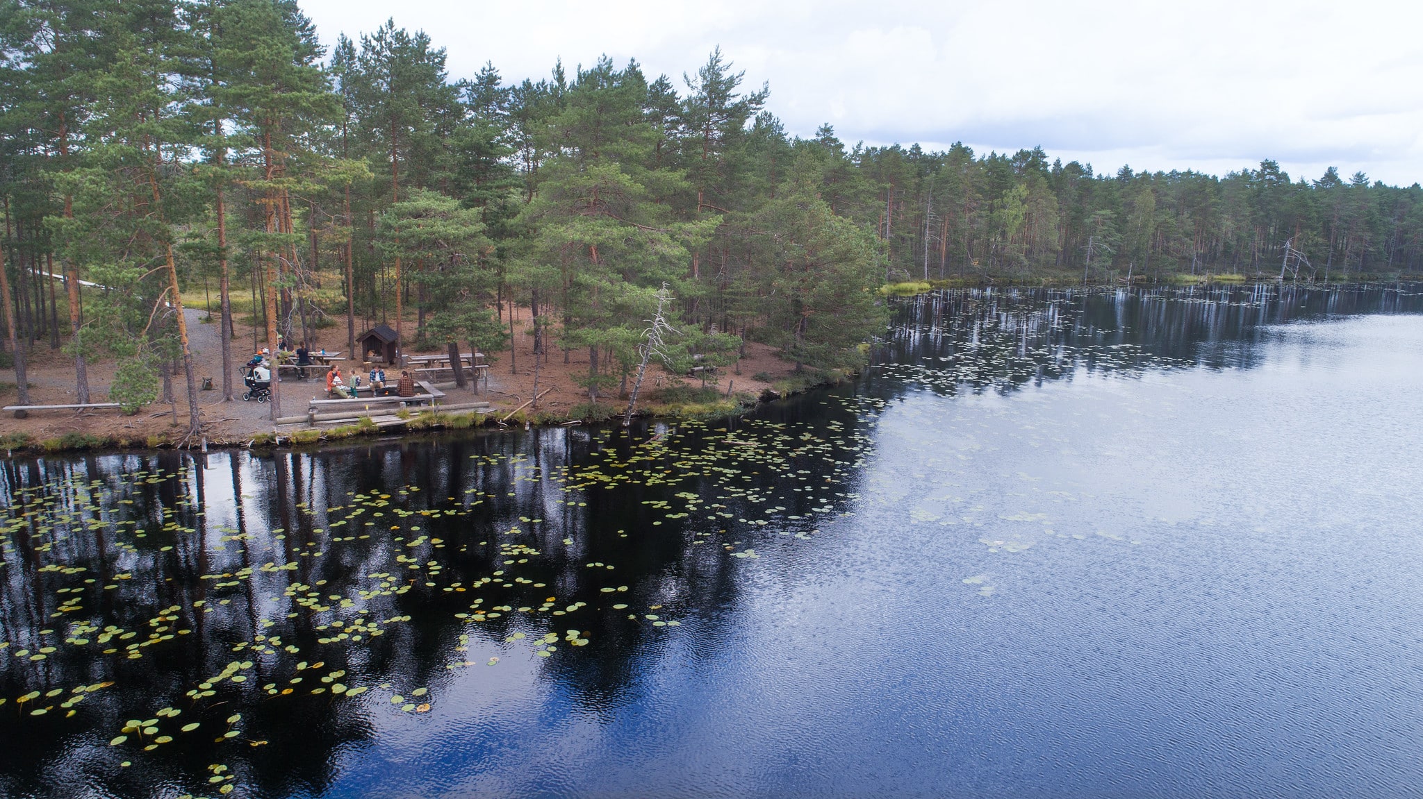
Although the full trail is long, there are many shorter routes for day trips. Along the way, you will find plenty of rest areas, including lean-to shelters, campfire sites, picnic tables and swimming spots.
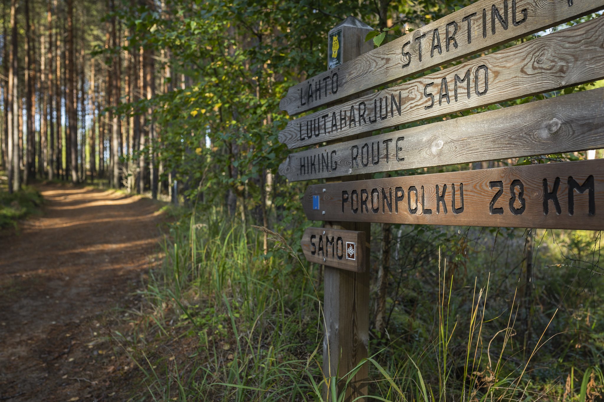
Navigation and trail markings
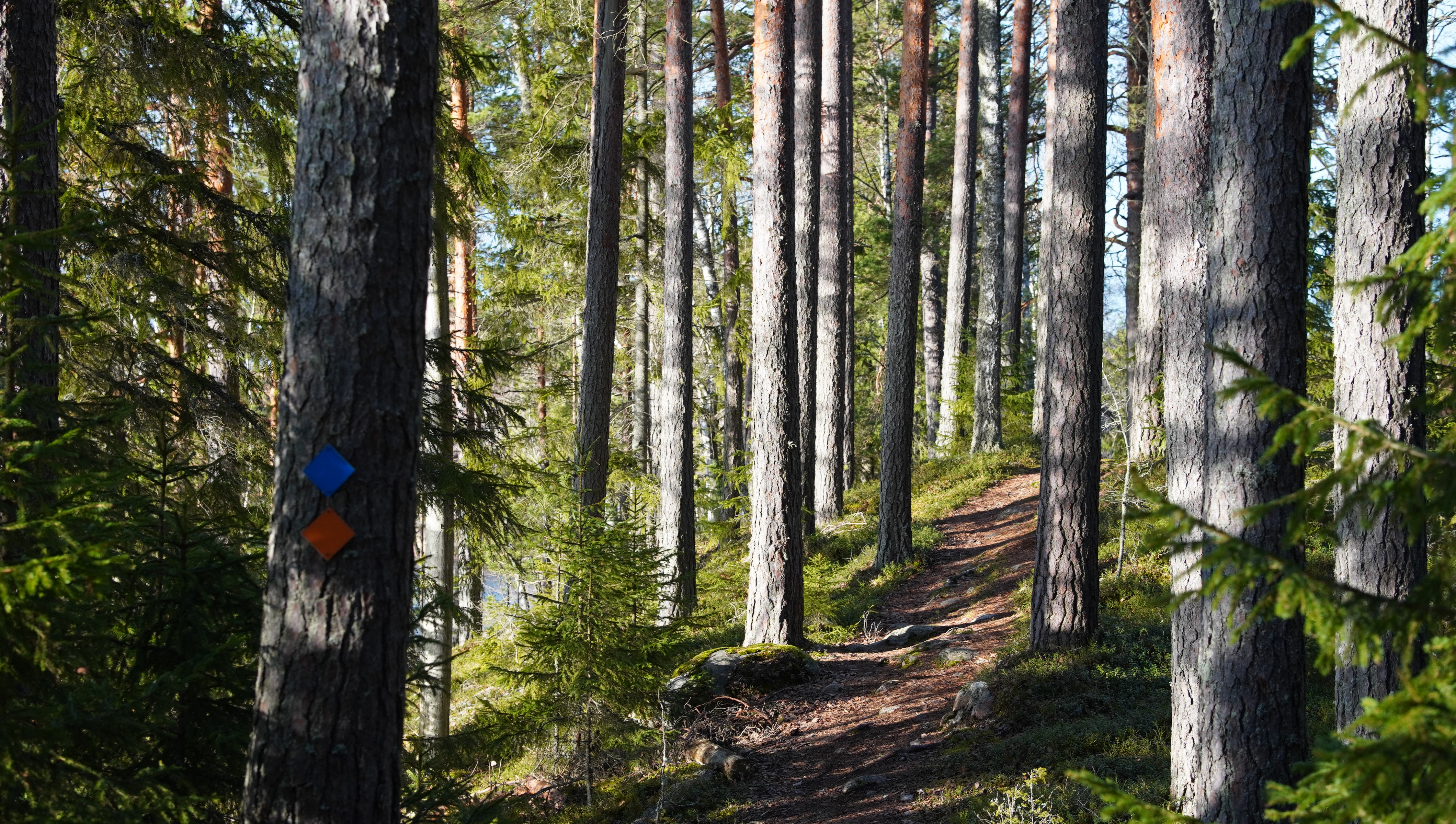
The trail is mostly well marked, but a map and a GPS device or smartphone are always helpful on longer connecting hikes. The connecting route of the Häme Lynx Trail is marked in the terrain with yellow blazes. The circular routes are marked with different colours. At the intersections of the trail network, there are green signs featuring the official Häme Lynx Trail logo.
Rest stops and overnight stays
The trail has plenty of lean-to shelters, campfire sites, picnic tables and swimming spots along the way. Overnight stays are possible in most terrain under Finland’s everyone’s rights. In national parks, camping is only allowed in designated areas. We recommend camping close to lean-to shelters and rest stops.
On long hikes, it is a good idea to carry a water filter or purification tablets. Not all lean-to shelters have firewood or water points.
The Häme Lynx Trail on a map
Explore the trail and nearby services
Discover the loop trails
When looking for a short route, dayhike or an easy hike, start with the short loop trails. You don’t need any specific outdoor gear with you. Just put on shoes, dress for the weather and enjoy!
Short loop trails 2,5 – 6 km
-
 array(0) {
}
hiking route
array(0) {
}
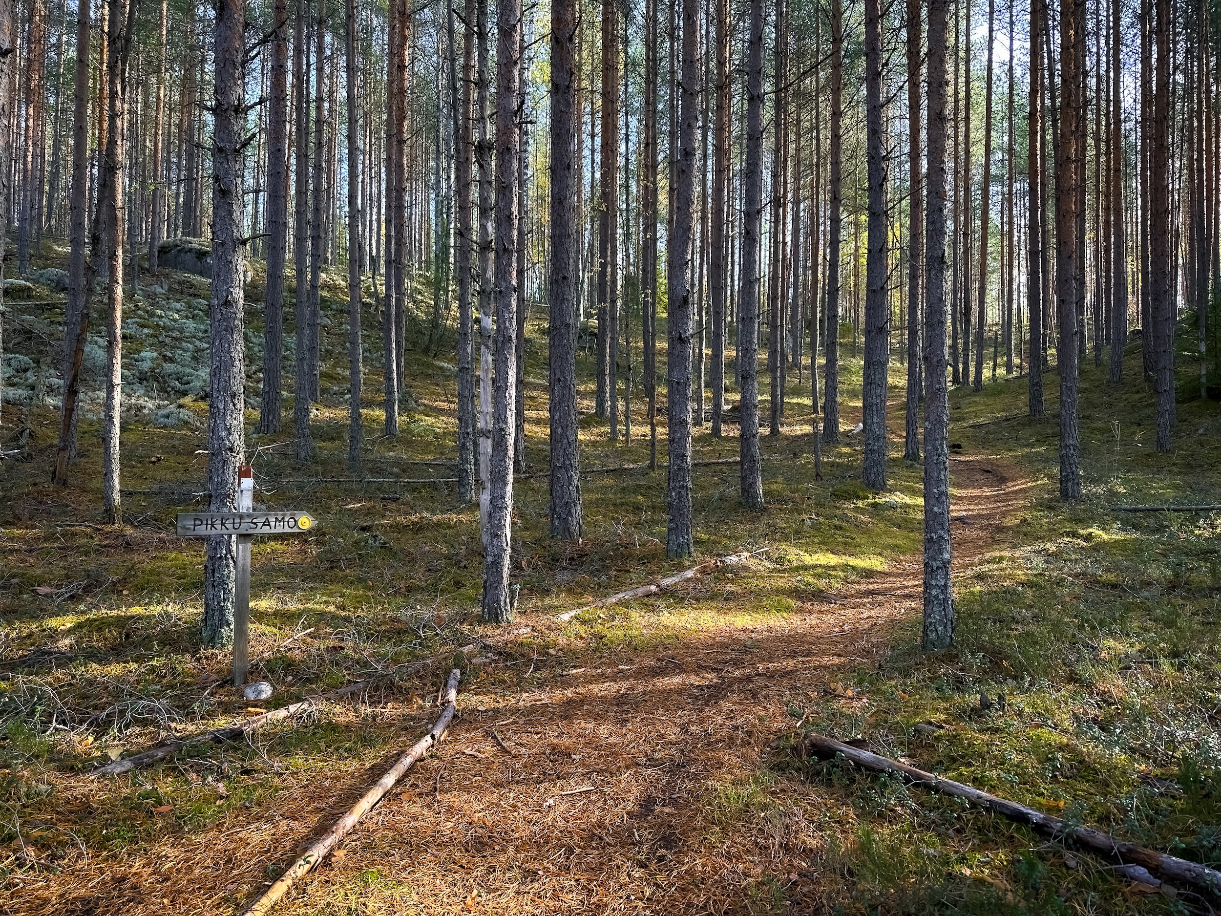
hiking routePikku-Samo
Luutasuo 243 , Loppi
An easy-going circular route, along which you may fall in love with Komio’s varied ridge terrain. Pikku-Samo is particularly…
Read more about the nature activity Pikku-Samo -
 array(0) {
}
hiking route
array(0) {
}
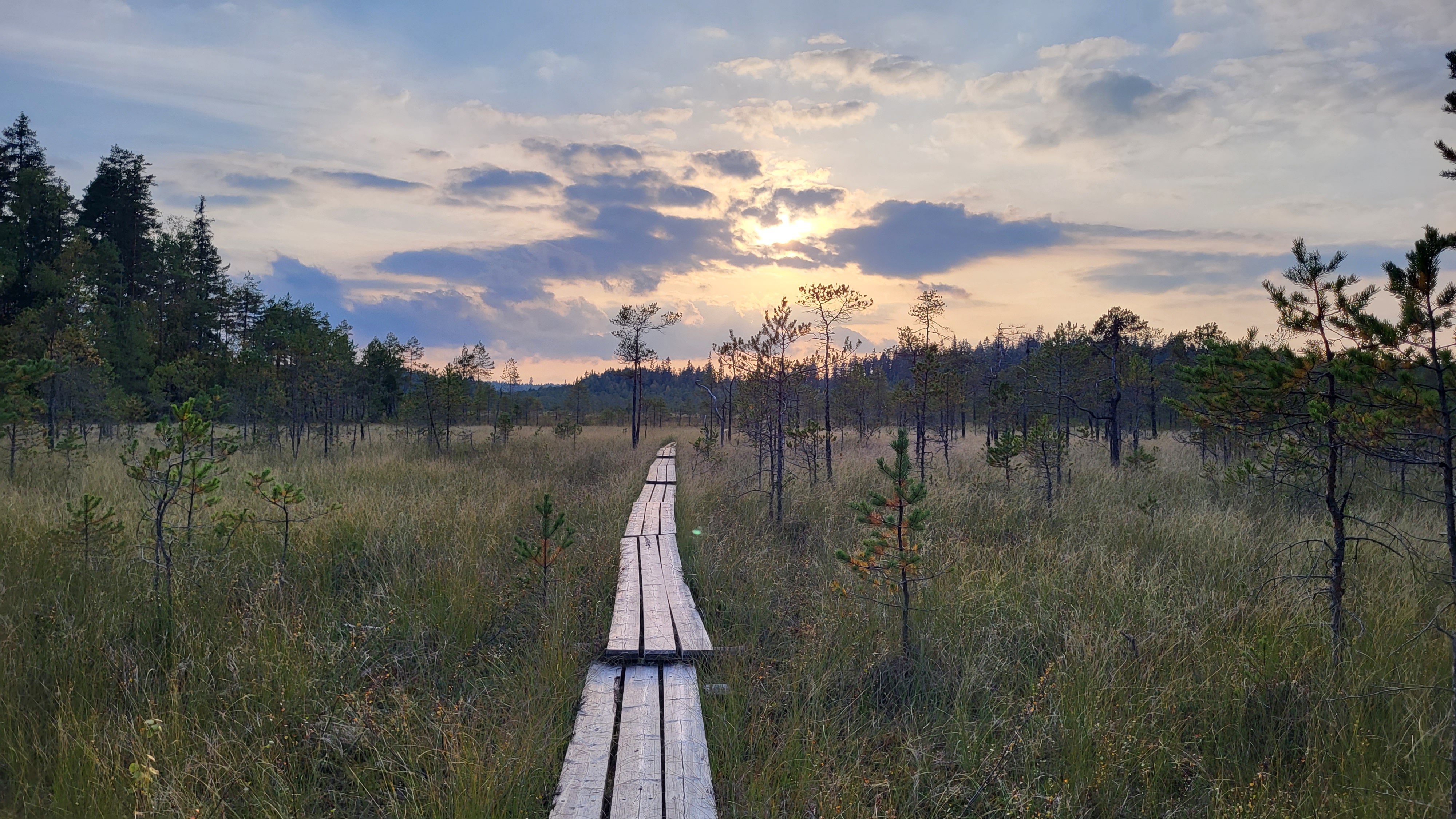
hiking routeHeinisuo loop 2.5 km (Häme Lynx Trail)
Pillisuontie , Hämeenlinna
Take a day trip to the immersive old forest of Heinisuo and its open, nature-rich marshland. The route follows…
Read more about the nature activity Heinisuo loop 2.5 km (Häme Lynx Trail) -
 array(0) {
}
hiking route
array(0) {
}
hiking routeKynnysniemi loop (Häme Lynx Trail)
Hämeen Härkätie , Hämeenlinna
The Kynnysniemi loop is a circular trail along which you can immerse yourself in a mossy forest and hike…
Read more about the nature activity Kynnysniemi loop (Häme Lynx Trail)
Loop trails 7 – 24 km
-
 array(0) {
}
hiking route
array(0) {
}
hiking routePääjärven kierto (Häme Lynx Trail)
Hämeen Härkätie , Hämeenlinna
Be enchanted by nature and take a day trip through atmospheric old forests, ridges and beautiful lake landscapes. The…
Read more about the nature activity Pääjärven kierto (Häme Lynx Trail) -
 array(0) {
}
hiking route
array(0) {
}
hiking routeKivijärvi Loop Trail 27 km (The Häme Lynx Trail)
Antinsuontie 402, tervalammin pysäköintialue , Tammela
The Kivijärvi Loop Trail leads you along winding forest paths and peaceful lakeshores, offering peace and solitude. The paths…
Read more about the nature activity Kivijärvi Loop Trail 27 km (The Häme Lynx Trail) -
 array(0) {
}
hiking route
array(0) {
}
hiking routeThe Häme Lynx Trail: Ruostejärvi – Liesjärvi National Park Trail 24 km
Härkätie 818 , Tammela
The Ruostejärvi–Liesjärvi National Park route connects two popular hiking destinations in the Häme lake plains region: Ruostejärvi Recreation Area…
Read more about the nature activity The Häme Lynx Trail: Ruostejärvi – Liesjärvi National Park Trail 24 km
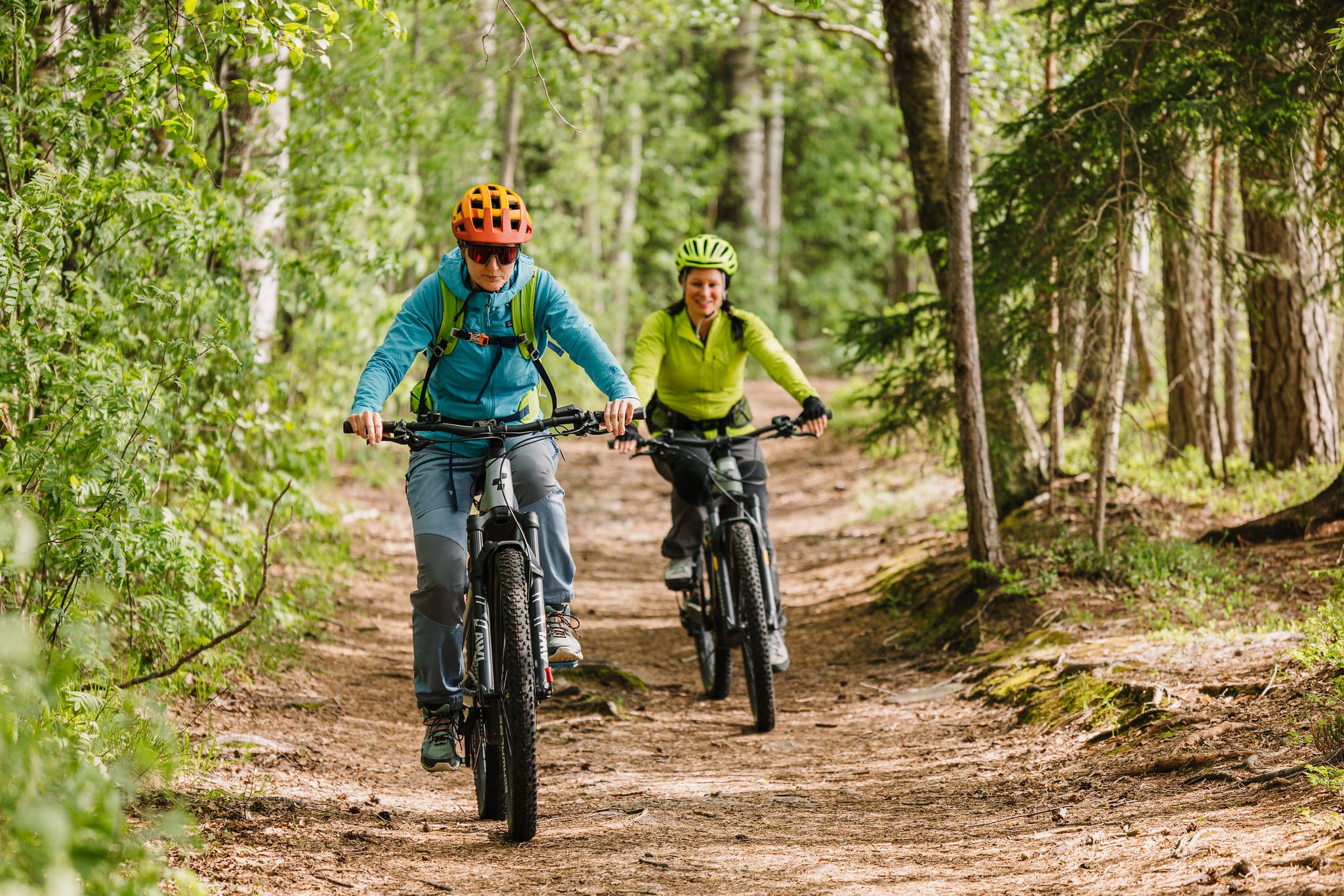
MTB on The Häme Lynx Trail
Selected sections of the Häme Lynx Trail are suitable for mountain biking and are marked separately. The routes are spread across six sections, totalling around 158 kilometres.
The Häme Lake Uplands
The Häme Lake Uplands is one of the last true forest heartlands in southern Finland. It’s a vast, sparsely populated and largely wild landscape between the towns of Forssa, Hämeenlinna, Riihimäki and Karkkila. The scenery here is the work of the last Ice Age: the Salpausselkä end moraines, long esker ridges, and the lakes, bogs and waterways that formed between them together create an exceptionally rich and varied natural environment.
The region is characterised by sweeping pine heathlands, sun-dappled esker forests, and lush riparian woodlands along its lakes and rivers. It is also home to some of the most extensive pristine mires remaining in southern Finland, and the springs that emerge along the esker slopes feed the uppermost headwaters of the Kokemäenjoki, Karjaanjoki and Vantaanjoki river systems.
The Häme Lake Uplands is an irreplaceable core nature zone for the whole of southern Finland, an ecological corridor linking Liesjärvi and Torronsuo National Parks into a wider network that stretches east via Evo towards Lake Päijänne, south to the Nuuksio Uplands, and north into the sparsely settled southern reaches of Pirkanmaa. The Häme Lynx Trail takes you right into the heart of this extraordinary natural mosaic.