 Häme
HämeLuutaharjun Samo
Luutasuo 243, Loppi
Loppi
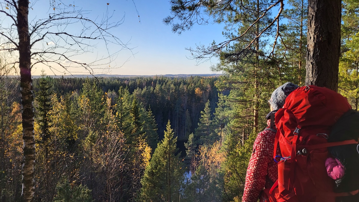
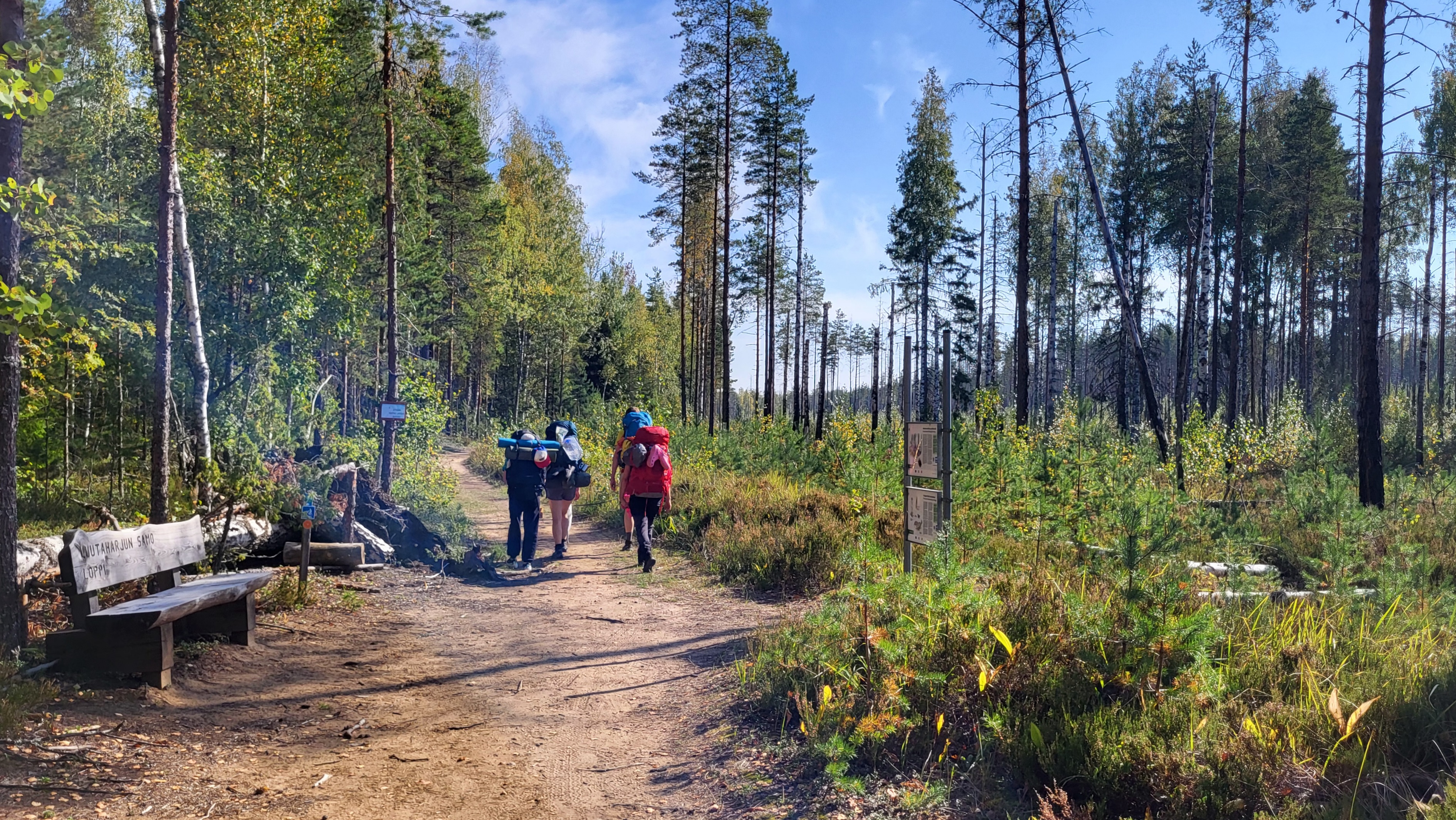
On the Luutaharjun Samo route you can experience a wilderness atmosphere in Southern Finland. The circular trail runs over varied terrain to Komionvuori mountain, where you can rest with the Lopen Uupunut statue and admire the open landscape vistas.
Beautiful narrow ridges tell the story of the Ice Age, and signs along the route (in Finnish) give you an insight into the special features of the area, such as the decaying old-growth forest, the sinking pond and the rising mountain.
The route is only available during spring, summer and autumn when there is no snow on the ground. In the winter, there are cross-country ski trails in the area.
Description
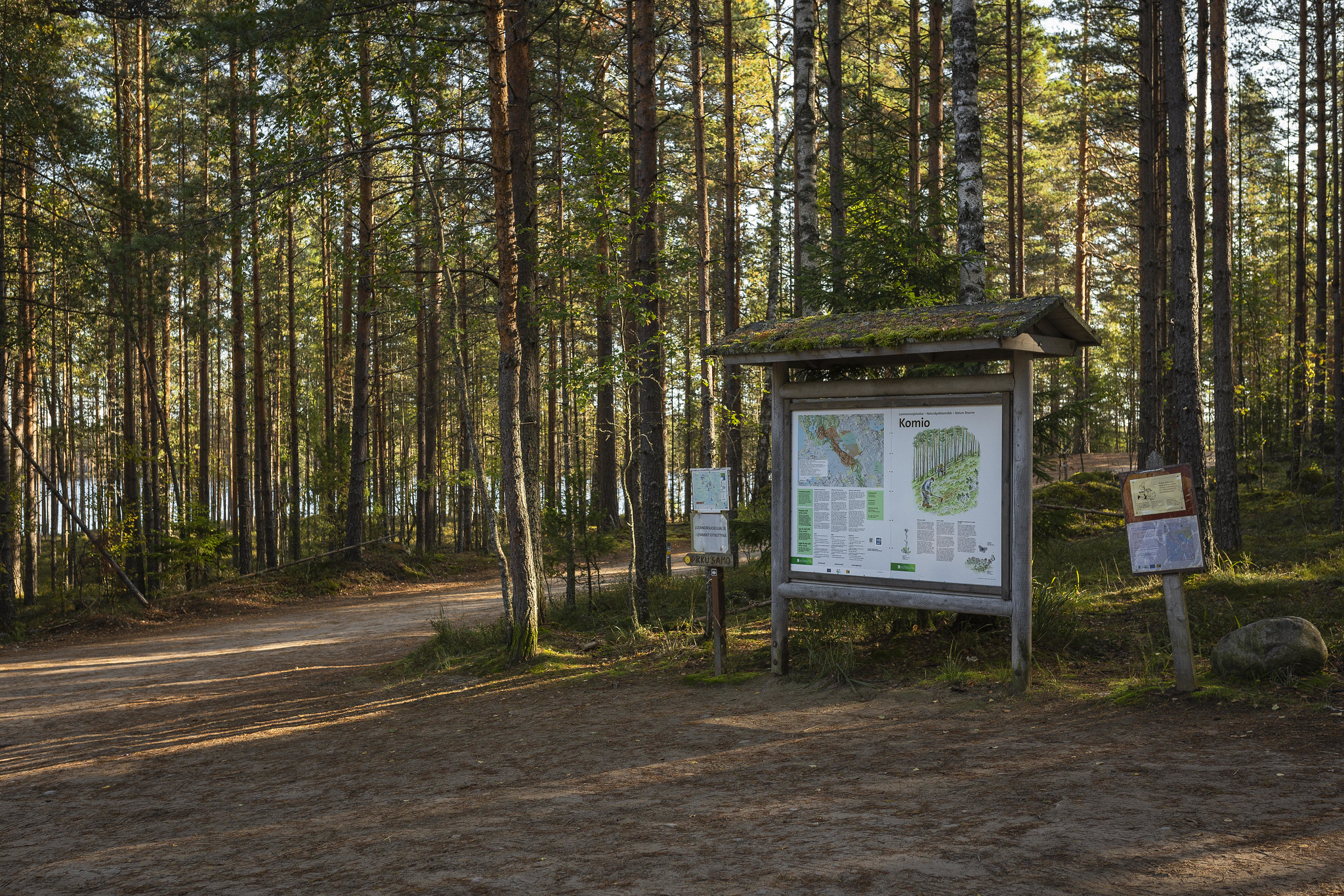
Starting point: Luutalammi parking area. Address: Luutasuo 243, Loppi.
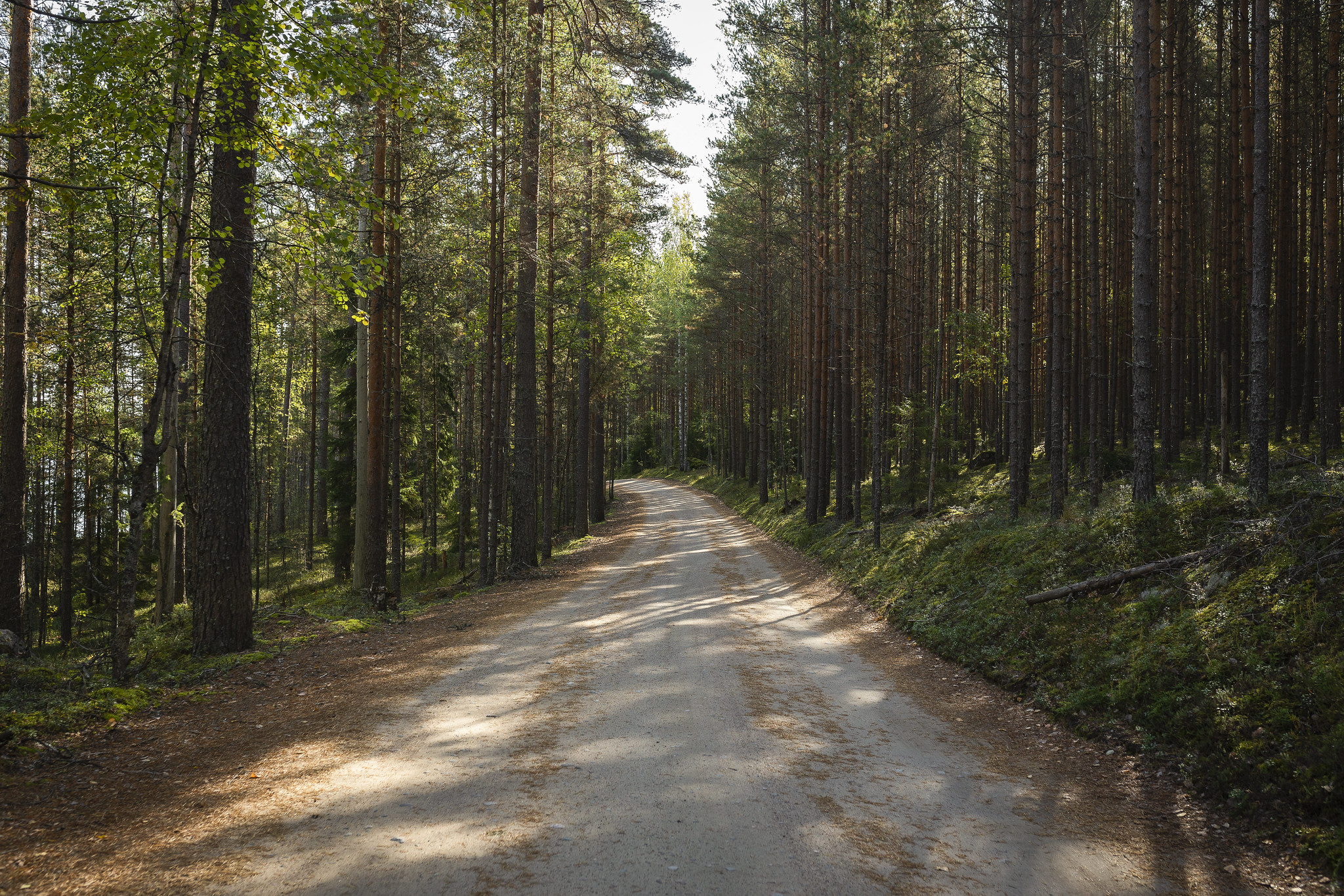
When leaving the parking area, follow the forest road and pass the slash-and-burn forest.
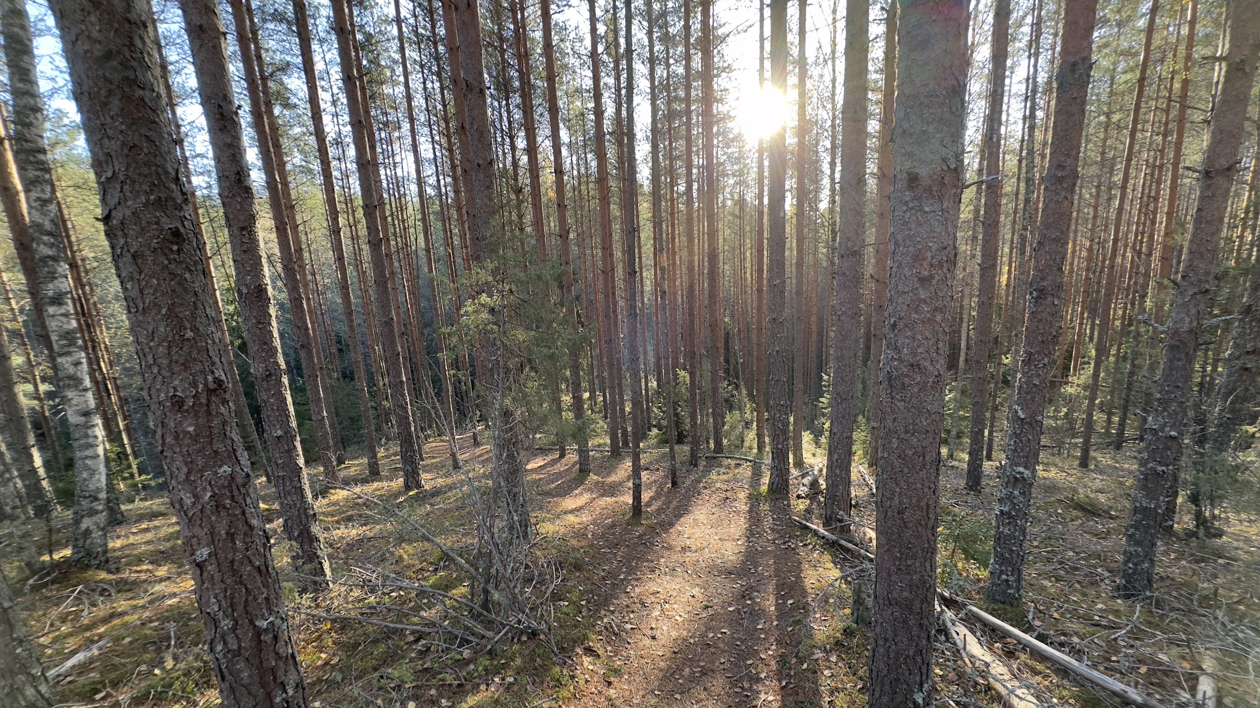
The path dives into the forest , where you pass the Lukkolampi pond which turns gradually marshy.
You then climb, sometimes steeply, along the slopes of the ridge towards the summit of the Samo trail, Komionvuori mountain.
At the top of the mountain there is a bench for resting and the Lopen Uupunut statue.
As you continue towards Luutasuo bog, the path has steep ascents and descents in places. The steepest part of the slope has stairs.
The route descends briefly to a flat gravel road and rural landscape, then climbs back into the forest to a ridge.
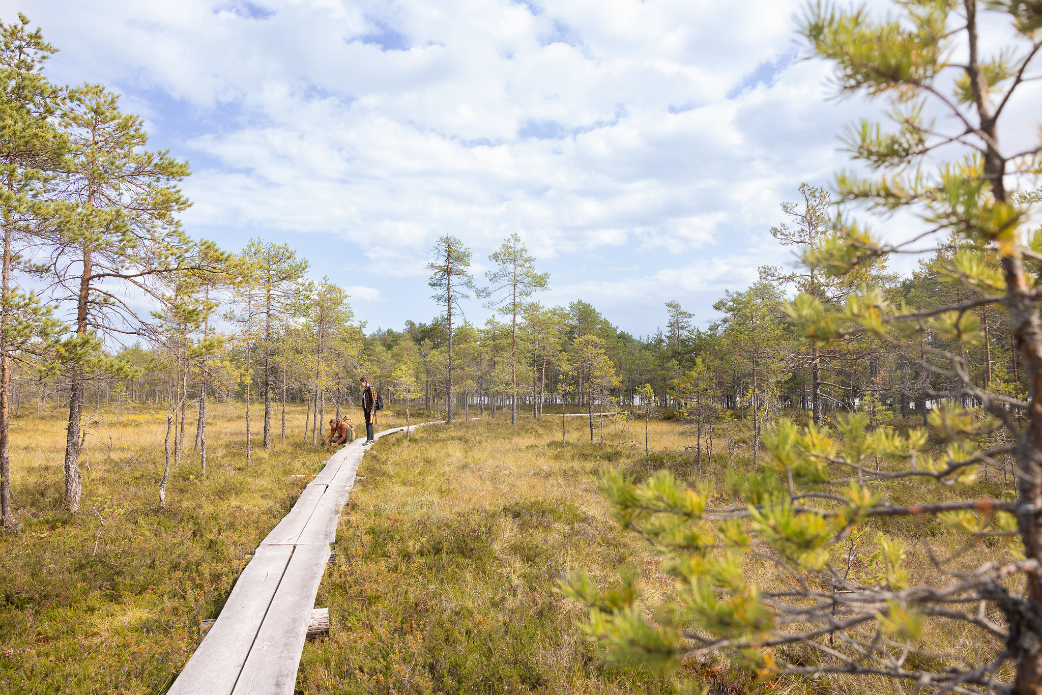
From the ridge you descend to the swampy Luutasuo bog.
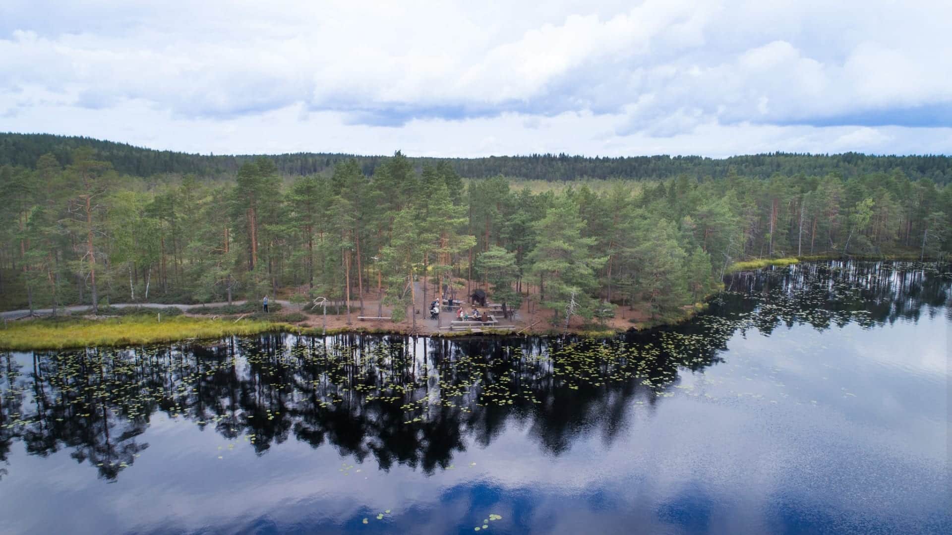
Duckboards lead to the beautiful Luutalammi wilderness pond, where you can find a campfire site. Note, that there is no official trail around Lake Luutalampi, and access to the area is prohibited from April 15 to July 31 to protect the nesting birds. Do not continue past the no-entry signs at the Luutasuo campfire site The restriction is in place to safeguard the nesting area of the red-throated diver, a sensitive species that requires undisturbed conditions.
From Luutalammi, the route takes you back to the parking area along an accessible route.
Information
Route duration
1.5 - 4 hours
Travel direction
clockwise
Route's length km
6.5
Free access
Nearby services
-
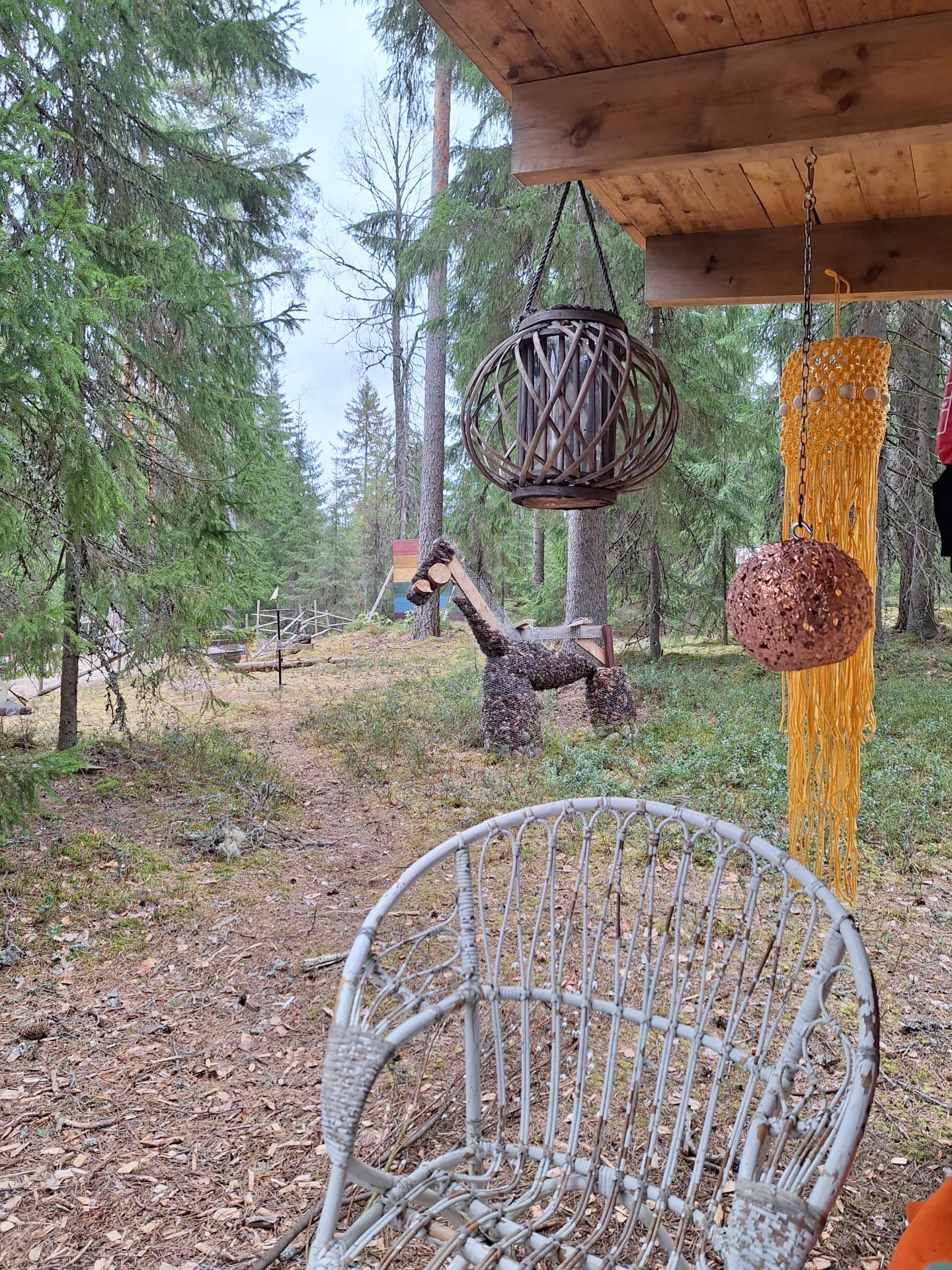
The Sheep Cafe – Pilpala, Loppi
The Sheep Café offers a unique opportunity to enjoy...
Read more The Sheep Cafe – Pilpala, Loppi -
Komio Nature Reserve
In the Komio Nature Reserve, you can discover the...
Read more Komio Nature Reserve -
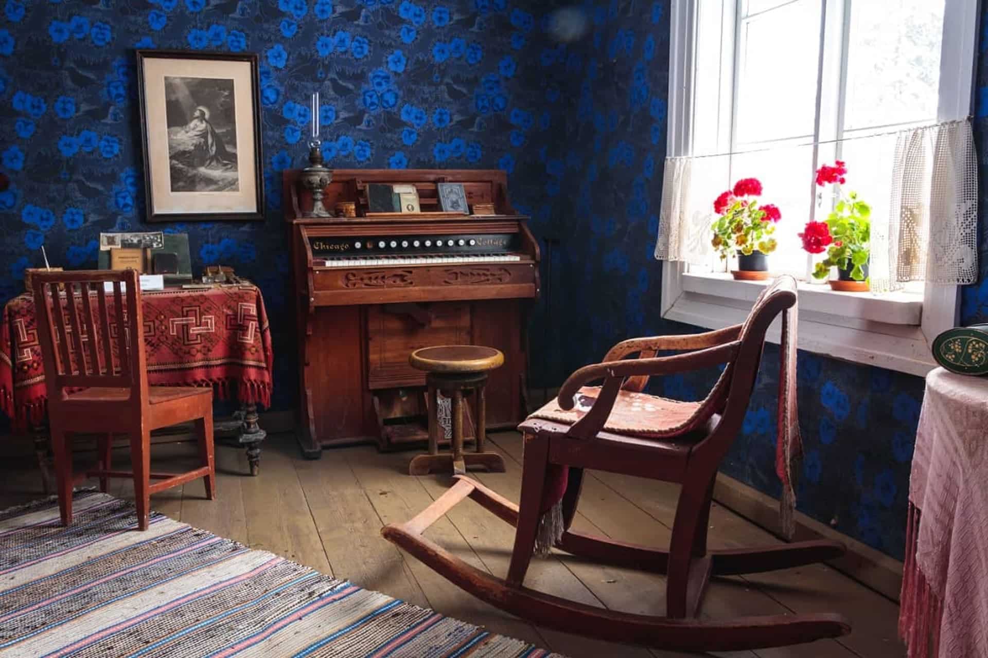
Local History Museum Lukkarin Puustelli
Below the Kirkkomäki hill there is a croft known...
Read more Local History Museum Lukkarin Puustelli -
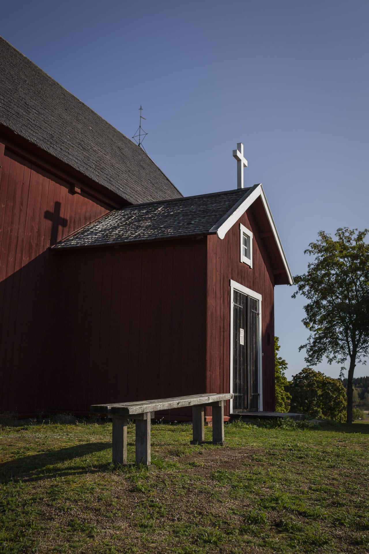
Loppi Old Church Hill
The history of Loppi Old Church Hill dates back...
Read more Loppi Old Church Hill -

Going Nowhere Resort
Forested living room and personalized bed and breakfast accommodation...
Read more Going Nowhere Resort -

Loppi Wilderness Villa
LOPPI WILDERNESS VILLA is a multifunctional and truly unique...
Read more Loppi Wilderness Villa -

Marskin Maja’s Restaurant
Marskin Maja's restaurant offers dinners, corporate parties, meetings, workdays,...
Read more Marskin Maja’s Restaurant
More nature sites
-
 array(0) {
}
ski track
array(0) {
}
ski trackSports Field Ski Trail
Keskustie 2-4 , Hausjärvi
Read more about the nature activity Sports Field Ski Trail -
 array(0) {
}
hiking route
array(0) {
}
hiking routeHäme Lynx Trail: Hämeenlinna
Forssan kantatie 2070 , Hämeenlinna
The Häme Lynx Trail is a hiking trail in the heart of southern Finland. The route passes through forests,...
Read more about the nature activity Häme Lynx Trail: Hämeenlinna -
ice-skating field
Hikiä Ice Rink
Hikiäntie 221 , Hausjärvi
Read more about the nature activity Hikiä Ice Rink -
point
Saari Folk Park dry toilet
Dry toilet
Read more about the nature activity Saari Folk Park dry toilet