 Häme
HämeWalking route to Vanajanniemi recreation area
Vanajaniementie 214-244, Hattula
Hattula
You can reach the cliffs, lakeside and campfire sites of the picturesque Vanajanniemi Recreation Area on foot. This route is suitable for people of all ages and abilities.
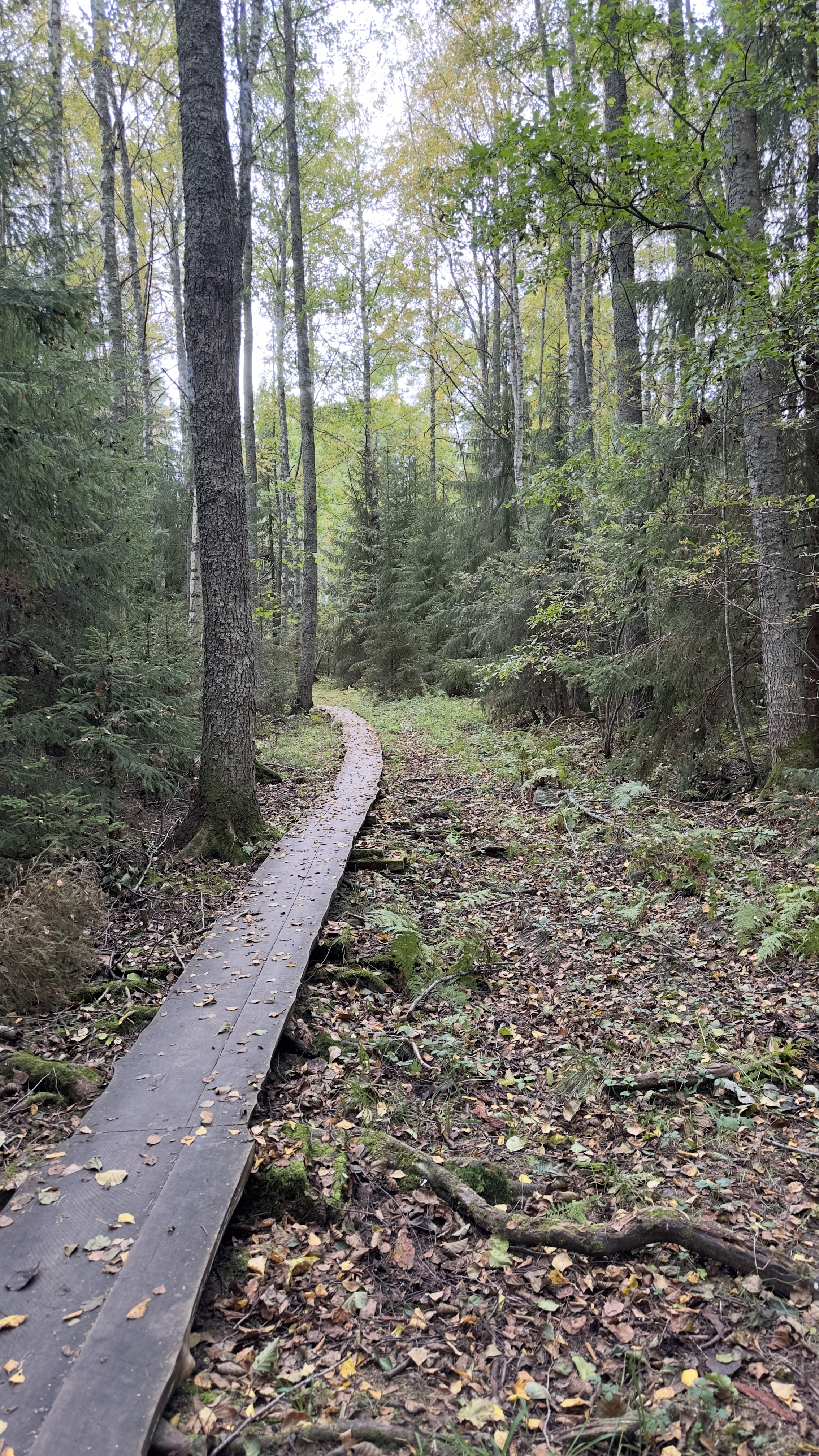
An easy-to-follow trail takes you from the parking area along the edge of the forest to the duckboards and finally to the cliffs along the lake shore. Several campfire sites allow you to take a break and enjoy nature in peace.
Description
Starting point:
Parking area in the Vanajanniemi Recreation Area. Vanajaniementie 214, 14610 Hattula.
The route runs from the car park along a dirt road for 0.25 km towards the boat launch place.
From the right-hand corner of the parking area for boat launches, the route turns into a path and continues into the forest.
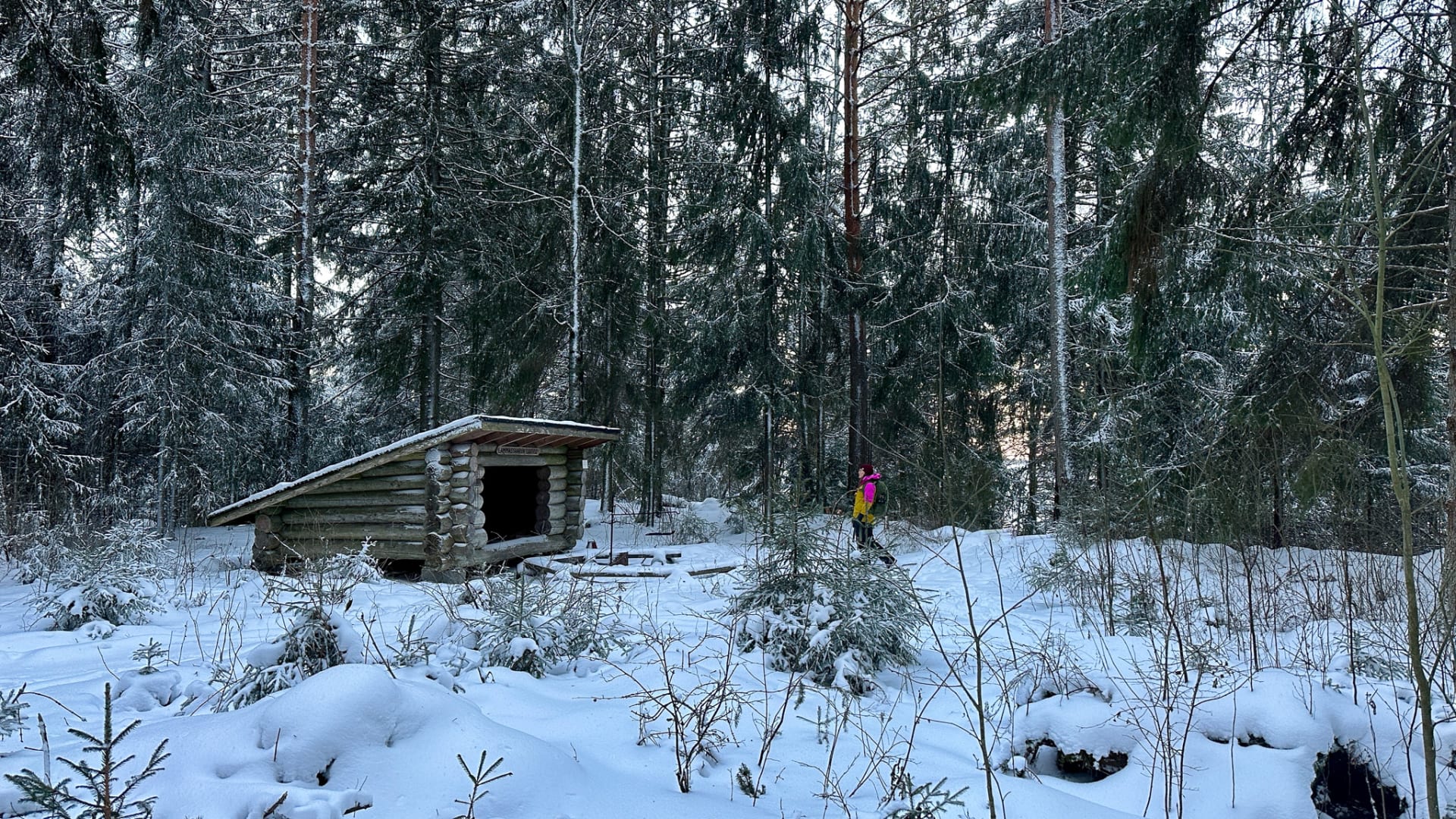
Duckboards lead you through the forest to the Vanajanniemi lean-to shelter. The duckboards are slippery after rain, and often in the spring and autumn.
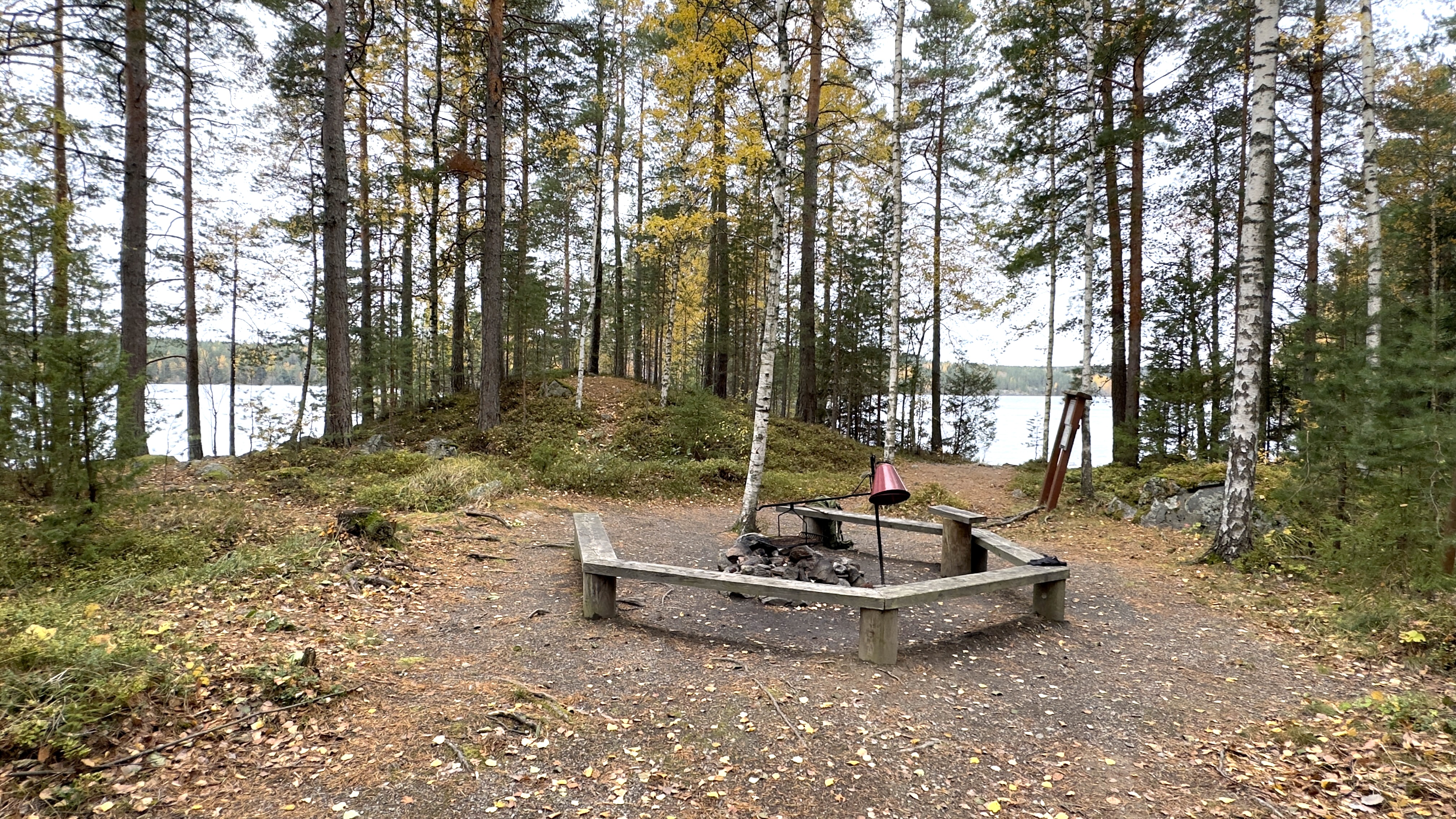
From the lean-to shelter you can continue your journey to the top of the cliff, where you will find more campfire sites. Walking up the cliff, the path climbs uphill, but it is easy to walk.
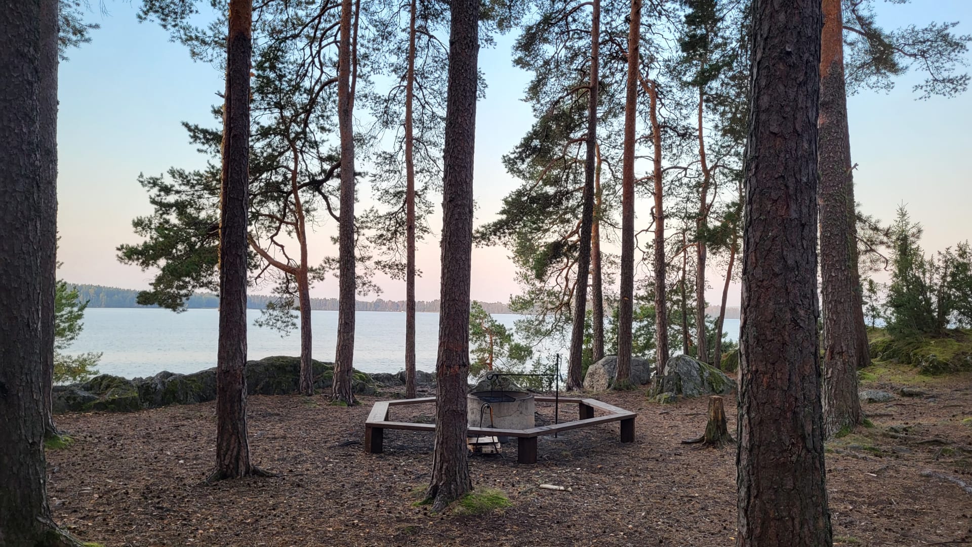
The cliff has a beautiful view of Lake Vanajavesi.
The end point:
The cliffs of the Vanajanniemi Recreation Area, with campfire sites.
Information
Route duration
20 - 90 minutes
Route's length km
0.56
Toilet
Rest places
4
Free access
Nearby services
-
 Tervetuloa pyöräilijä
Lepaa Winery, Cafeteria and Shop
Lepaa Winery is an attractive visitor destination in the...
Read more Lepaa Winery, Cafeteria and Shop -
Vanajanniemi Recreation Area
A beautiful headland in its natural state in Hattula,...
Read more Vanajanniemi Recreation Area -
Lammassaari Recreation Area
Lammassaari Nature Recreation Area in the Heinunlahti bay on...
Read more Lammassaari Recreation Area

More nature sites
-
 array(0) {
}
cooking facilities
array(0) {
}
cooking facilitiesHietasalo campfire site I
Hietasalo , Hämeenlinna
A campfire site in a sheltered spot near the shoreline. Firewood is available near the campfire site. You...
Read more about the nature activity Hietasalo campfire site I -
 array(0) {
}
street workout park
array(0) {
}
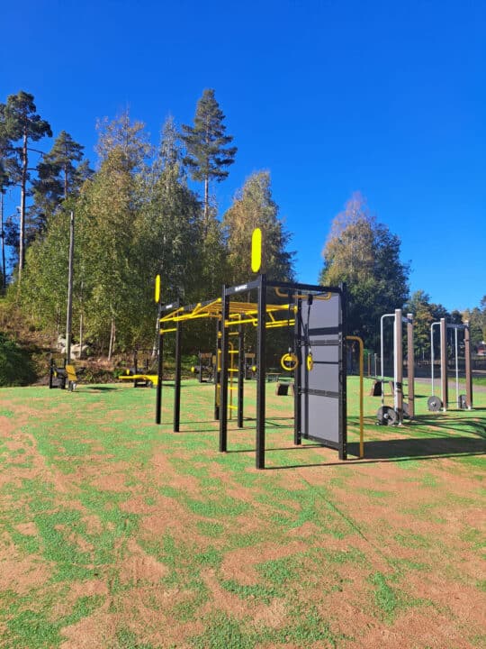
street workout parkPaukunharju Fitness Stairs
Monninlinja 215 , Hausjärvi
Read more about the nature activity Paukunharju Fitness Stairs -
 array(0) {
}
lean-to, goahti (lapp tent shelter) or 'kammi' earth lodge
array(0) {
}
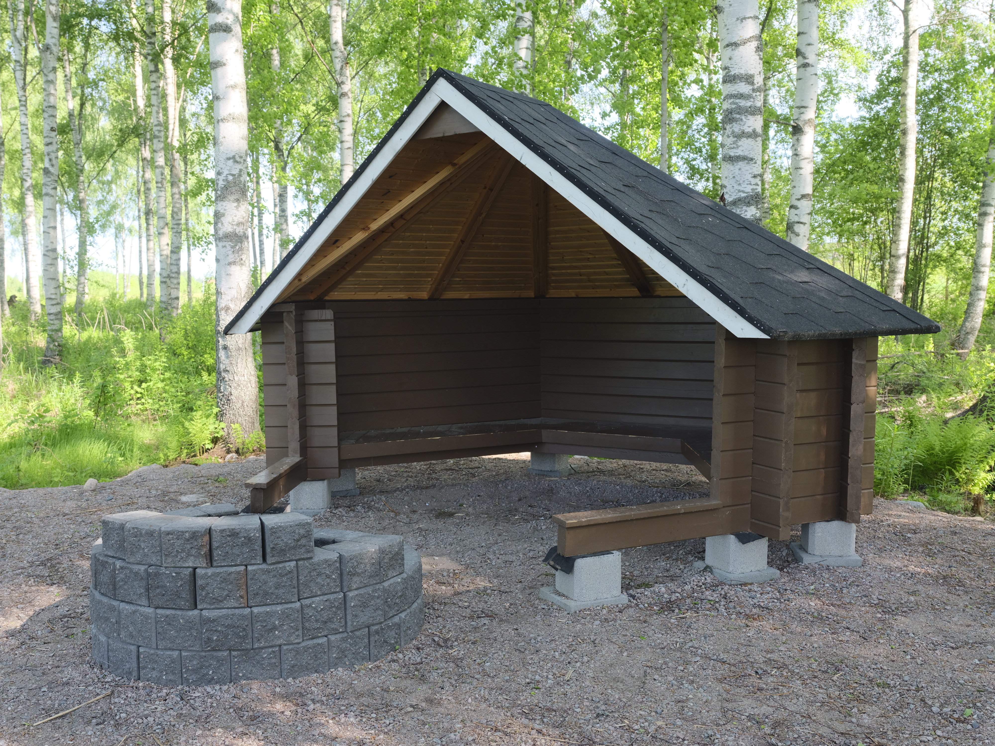
lean-to, goahti (lapp tent shelter) or 'kammi' earth lodgeHarviala fireplace
Harvialan rantatie , Janakkala
Sheltered campfire site by the Hiidenjoki river, excellent resting spot for paddlers.
Read more about the nature activity Harviala fireplace -
 array(0) {
}
biking route
array(0) {
}
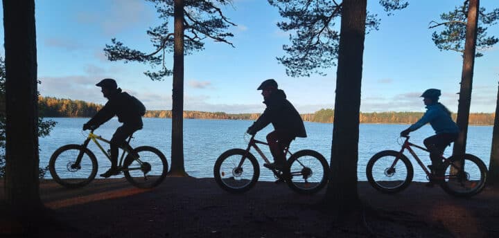
biking routeRiutta MTB Bike Park
Kormuntie 258 , Riihimäki
Read more about the nature activity Riutta MTB Bike Park