 Häme
HämeHäme by Cycle: Odin’s Journey
Sibeliuksenkatu, Forssa
Forssa
Description
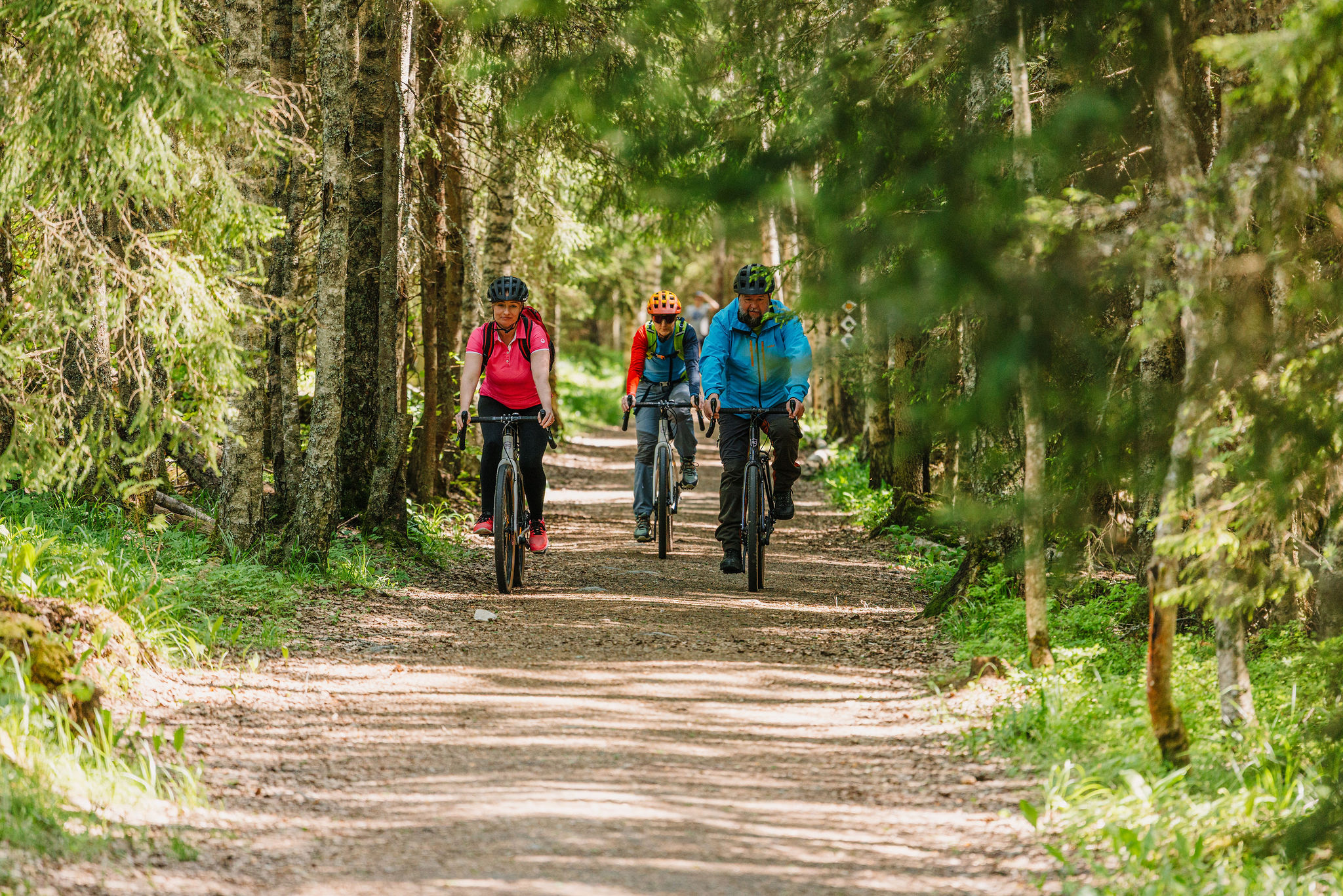
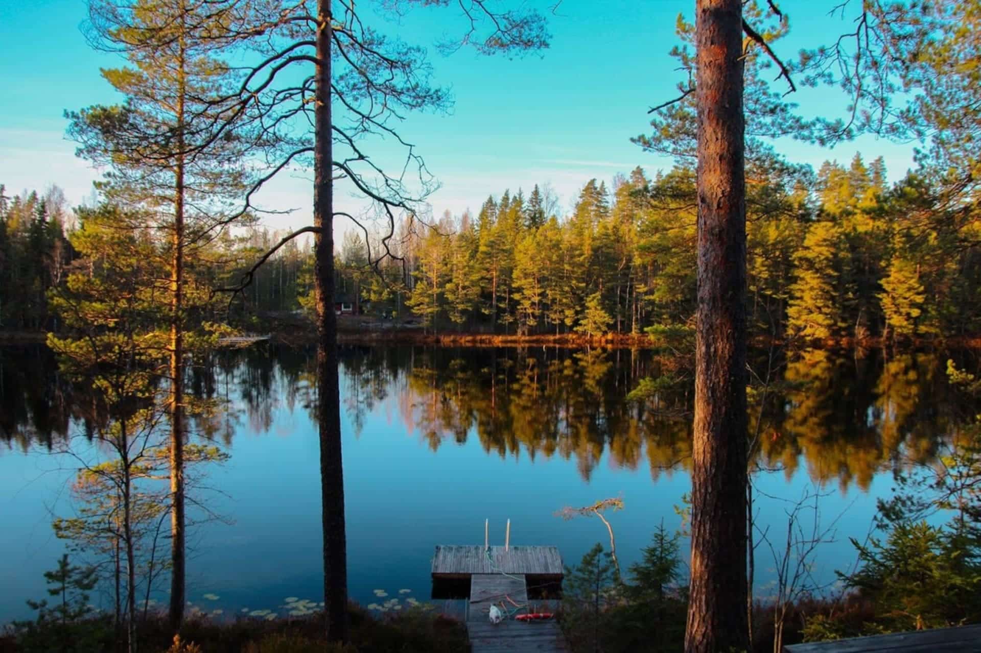
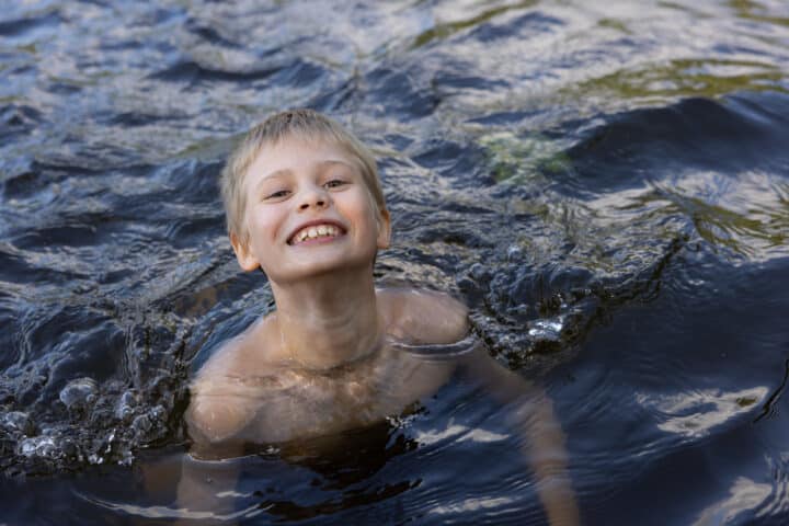
Odin’s Journey is a 136 km long cycle trail located in the westernmost part of the Häme by Cycle route in Kanta-Häme. We recommend you to take 2-3 days to enjoy the route without rushing, leaving plenty of time to experience the natural and cultural sites along the way. The route is best suited to those with some experience of cycling, and the varied terrain also provides a reasonable challenge for experienced cyclists. You can stay overnight at lean-to shelters, at camping sites, or in comfortable guesthouses and hotels.
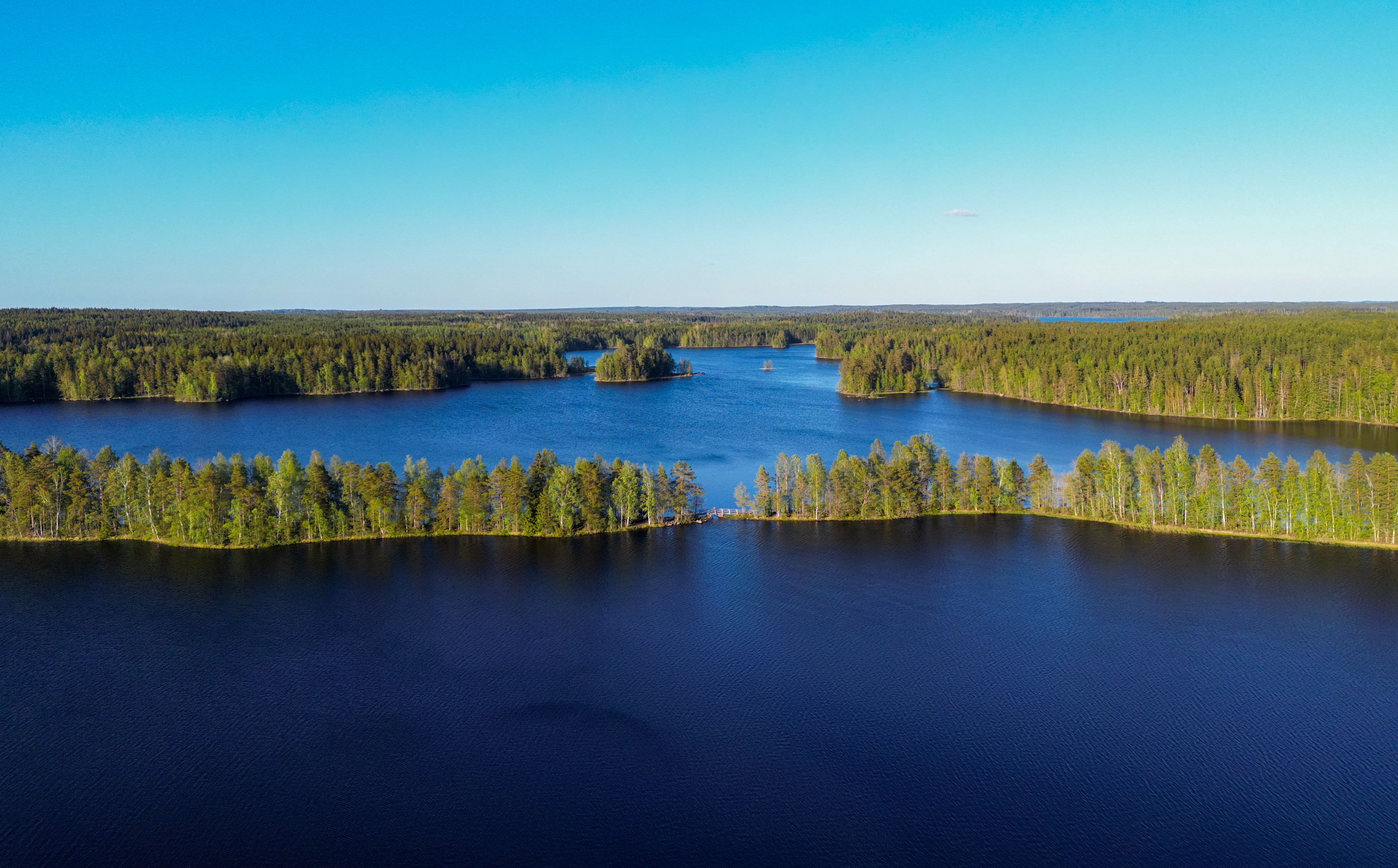
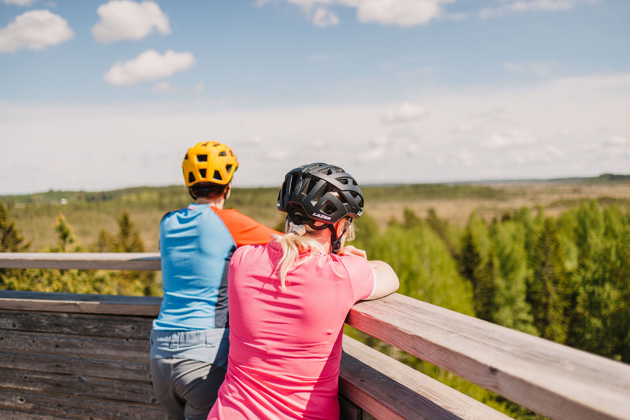
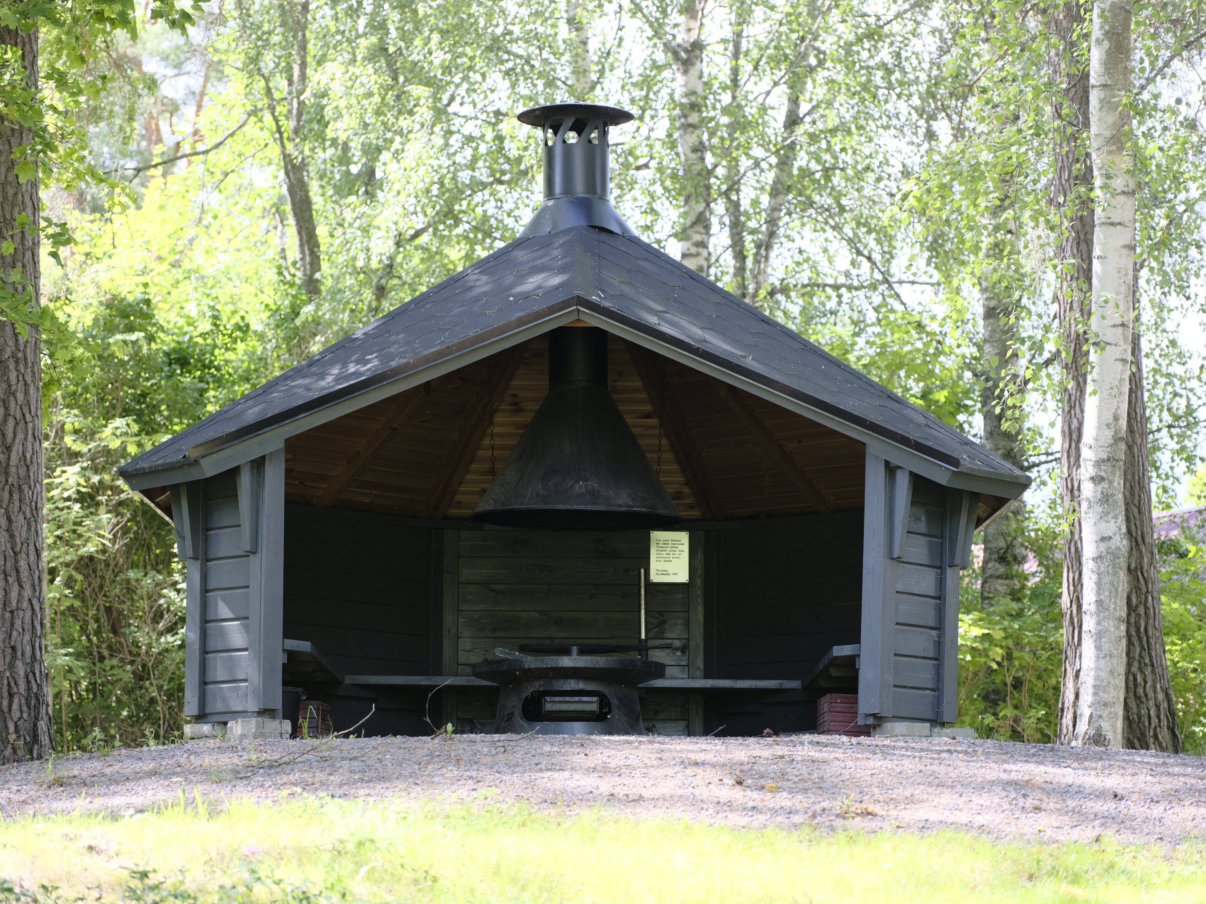
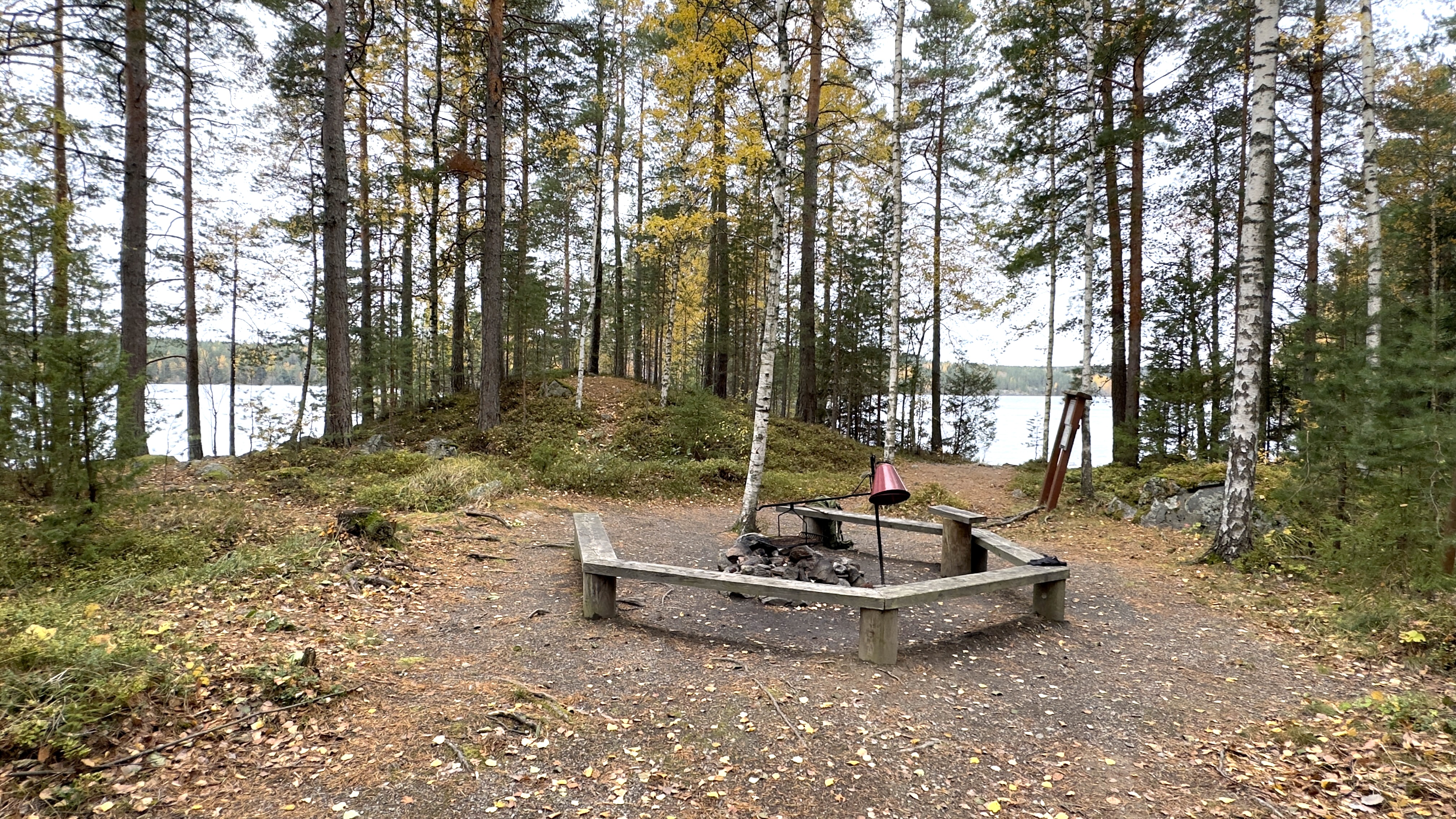
The route leads you to Liesjärvi National Park where it’s worth stopping at Kyynäränharju ridge or Korteniemi Heritage Farm – a living museum in the middle of the national park. For breaks, the route offers lean-to shelters and campfire sites where you can also spend the night. Torronsuo Observation Tower offers an impressive view of Finland’s deepest swamp.
At the start of the journey, you travel through Forssa and Ruostejärvi Recreation Areas and then continue to Jokioinen where you can visit a working museum railway. If your timing is right, you can hop aboard a steam train and head towards Humppila station.
For culture and history lovers, there are many interesting sites along the route. At the start of the route in Forssa city centre, you can explore the national urban park and the history of the city. Along the route, cycle paths give way to gravel roads and Hämeen Härkätie, an ox road already used by the Vikings, and the lakeside scenery of Ruostejärvi Recreation Area.
After the gravel road section, you reach Liesjärvi National Park and Kyynäränharju ridge, cycling along dirt roads in the shelter of the forest to Korteniemi Heritage Farm. Korteniemi Heritage Farm offers a unique insight into old Finnish agricultural life. Liesjärvi’s lean-to shelters and campfire sites provide a perfect place for breaks and overnight stays. The route continues to Torronsuo National Park, where the observation tower offers a view of Finland’s deepest bog.
After Torronsuo, the route levels out and you reach Jokioinen. In Jokioinen, you can visit the museum railway, which is still in operation. With good timing, you can hop aboard a steam train with your bike and head towards Humppila station.
From Humppila, the last, easy part of the route leads you back to Forssa, bringing you back to the city along a picturesque riverside boulevard with parks.
Along the way you can see historic buildings, enjoy local delicacies, and relax in nature. Odin’s Journey is at its best from June to mid-August, when local cafés and restaurants are open. Adventurers can also cycle the route in early autumn or late spring.
Read moreHighlights
Liesjärvi and Torronsuo National Parks – stunning lake views and a scenic tower overlooking Finland’s deepest bog
The historic Häme Ox Road – an ancient Viking trade route connecting past and present
Opportunity to hop aboard a steam train with your bike on the Jokioinen Museum Railway
Beautifully located rental cabins and lean-tos in the Liesjärvi area
Expansive grain fields and easygoing country roads
Information
Arrival
With solid public transport options and convenient train‑to‑bike connections, Ukon taival is accessible for cyclists arriving from anywhere in Finland—whether you’re starting from Forssa or hopping off in Humppila.
Route duration
2 - 3 days
Route's length km
140
Nearby services
-
Jolie Vanha-Norri
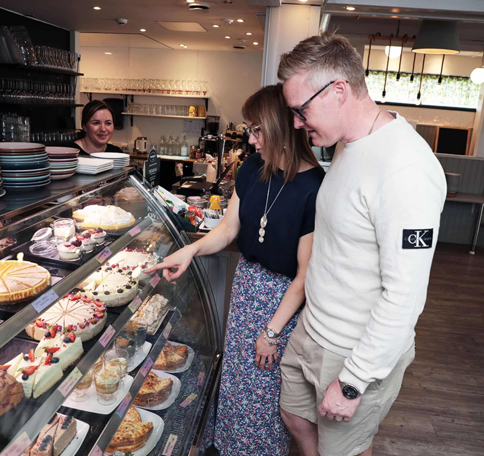
Jolie Vanha-Norri offers simple and delicious food that highlights...
Read more Jolie Vanha-Norri -
Art Exhibition – Halmetoja goes Villaforss
Villaforss in Forssa Emerges as a Major Cultural Destination...
Read more Art Exhibition – Halmetoja goes Villaforss -
Café-Restaurant Pikku Pistrina
Pikku Pistrina is a café-restaurant located in the center...
Read more Café-Restaurant Pikku Pistrina -
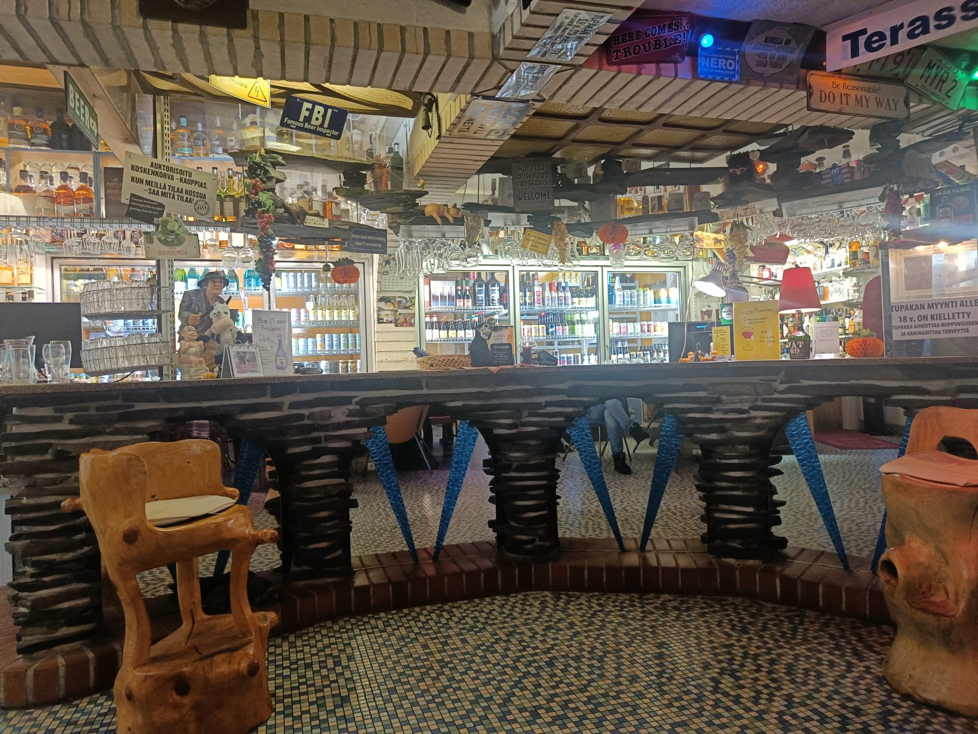
Keppana Kellari Restaurant
An oasis in the wilderness, a beer and food...
Read more Keppana Kellari Restaurant -
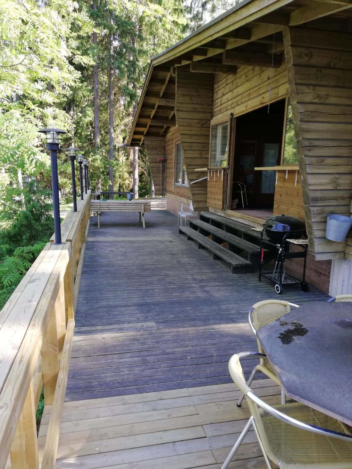
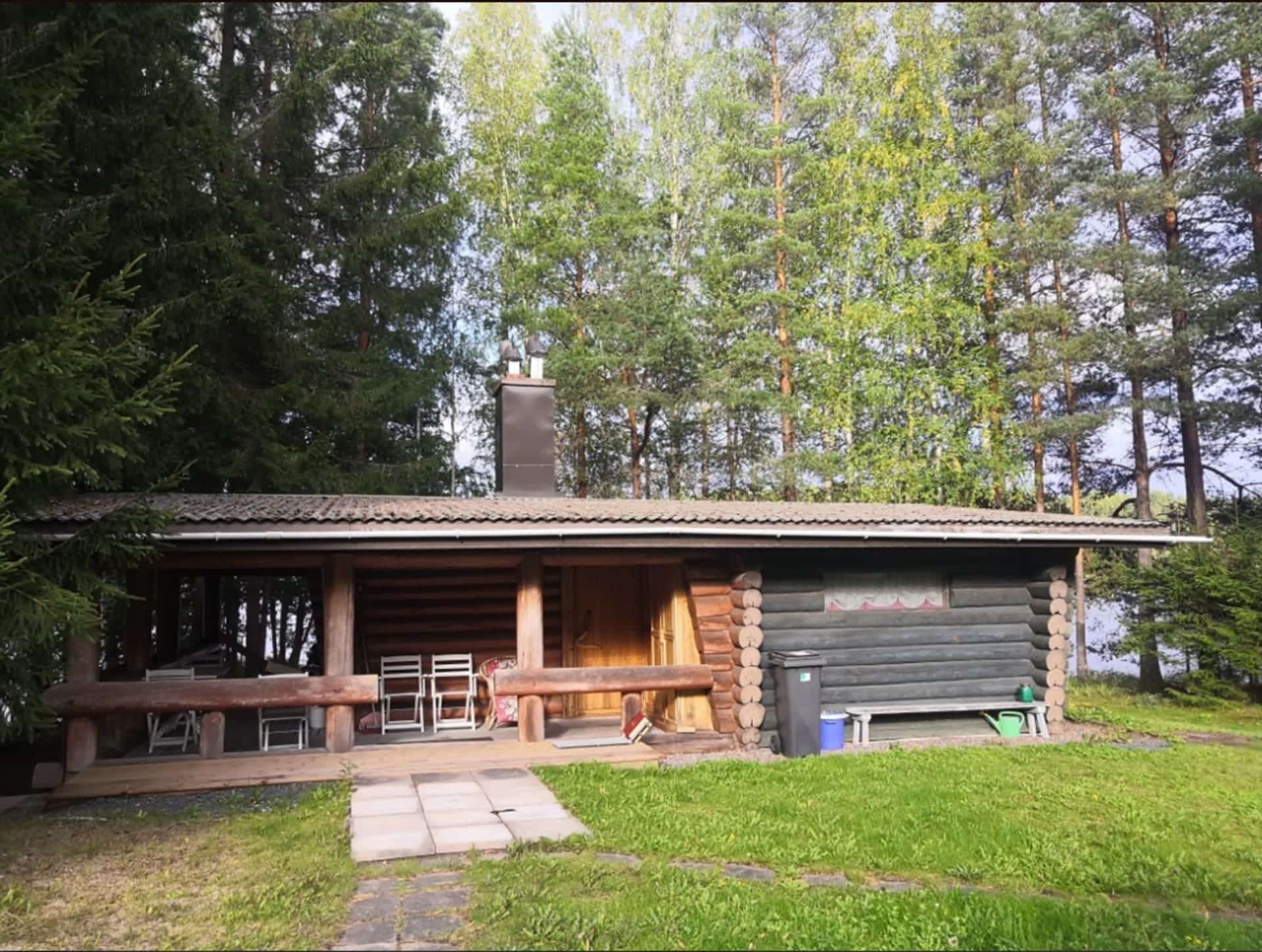
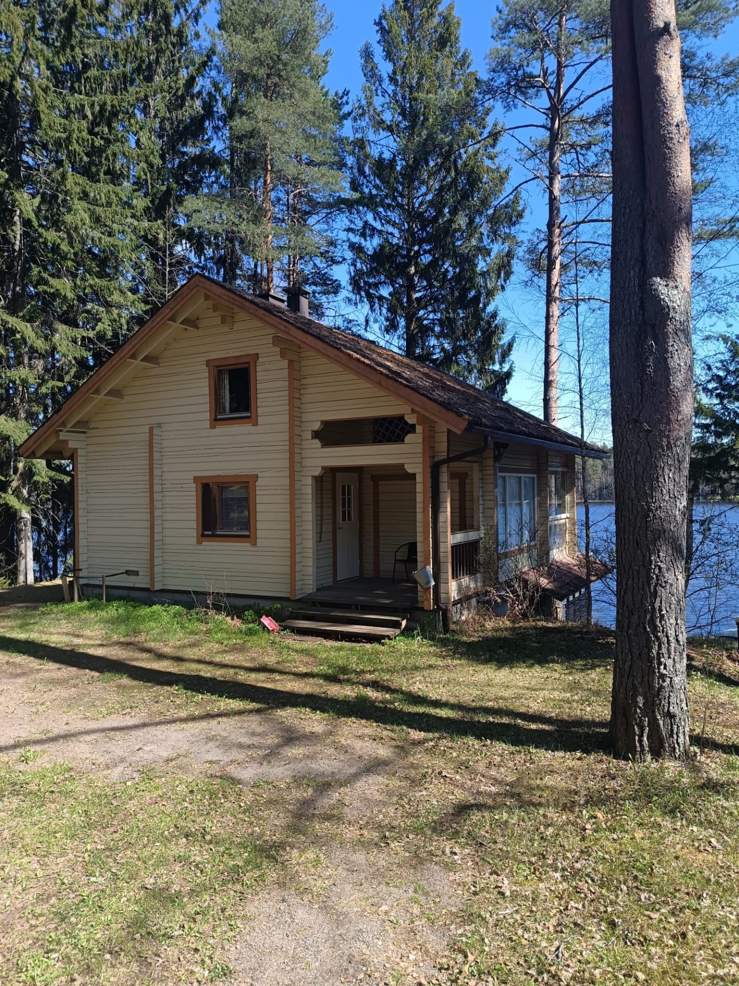
Rental cottage Villa-Koivula
A beautiful log cabin on the shore of Lake...
Read more Rental cottage Villa-Koivula -
Rental cottage Perä-Koivula
A beautiful log cabin on the shore of Lake...
Read more Rental cottage Perä-Koivula -
Rental cottage Ranta-Koivula
A two-storey log cabin on the shore of Lake...
Read more Rental cottage Ranta-Koivula -
Rental cottage Ala-Koivula
Two-storey, log/plank-built cottage approx. 60 m2.
Read more Rental cottage Ala-Koivula
In downstairs there... -
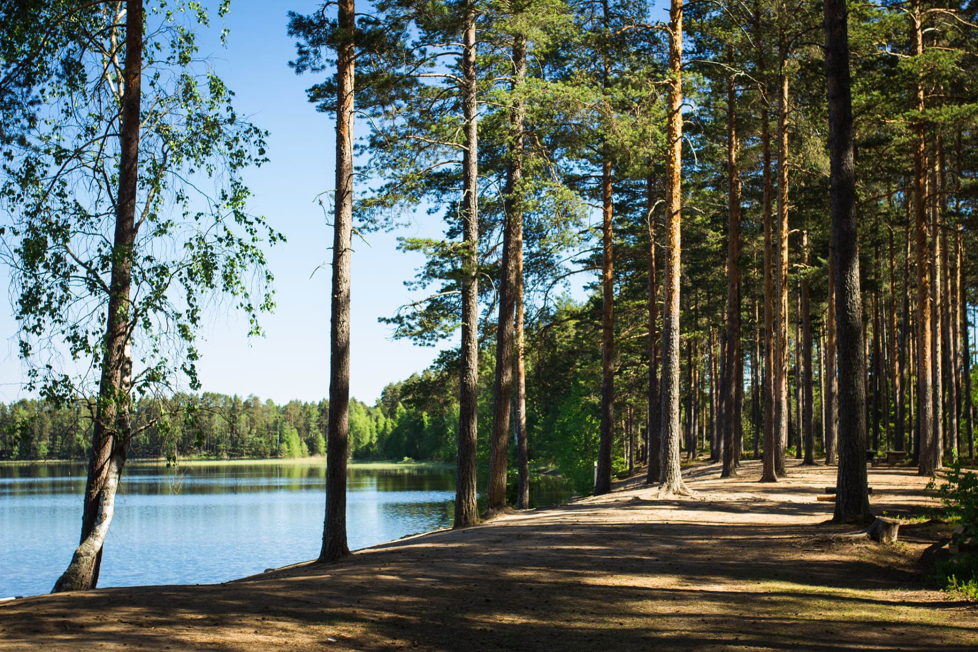
Ruostejärvi Recreation Area
The Ruostejärvi Nature Recreation Area offers fantastic nature experiences...
Read more Ruostejärvi Recreation Area -

Villaforss Xmas Menu
Wellcome to enjoy our Christmas Menu on December 2026...
Read more Villaforss Xmas Menu -

Forssa National Urban Park
Welcome to Forssa National Urban Park. Its history tells...
Read more Forssa National Urban Park -

Forssa Museum Pattern Centre
Pattern Centre is the home of the Forssa museum's...
Read more Forssa Museum Pattern Centre -
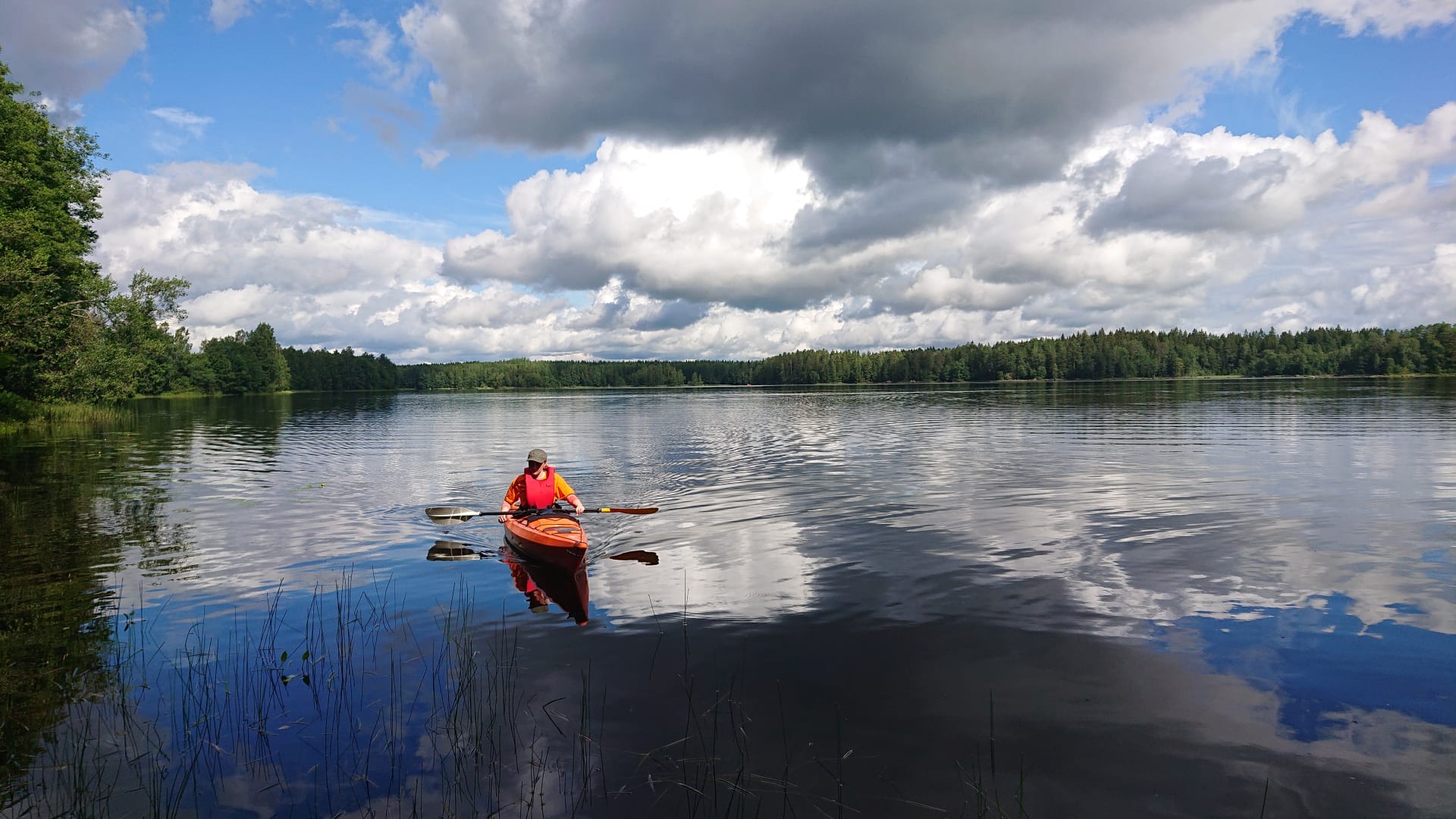
Kayak Rent in Liesjärvi National Park
Self guided paddling trip to the beautiful landscape of...
Read more Kayak Rent in Liesjärvi National Park -
 Tervetuloa pyöräilijäSustainable Travel Finland
Eerikkilä Villas and Holiday Apartments
The Eerikkilä Sport & Outdoor Resort provides a variety...
Read more Eerikkilä Villas and Holiday Apartments -
Eerikkilä Sport & Outdoor Activity Equipment Rental
We have rental gear for you, whether you plan...
Read more Eerikkilä Sport & Outdoor Activity Equipment Rental -
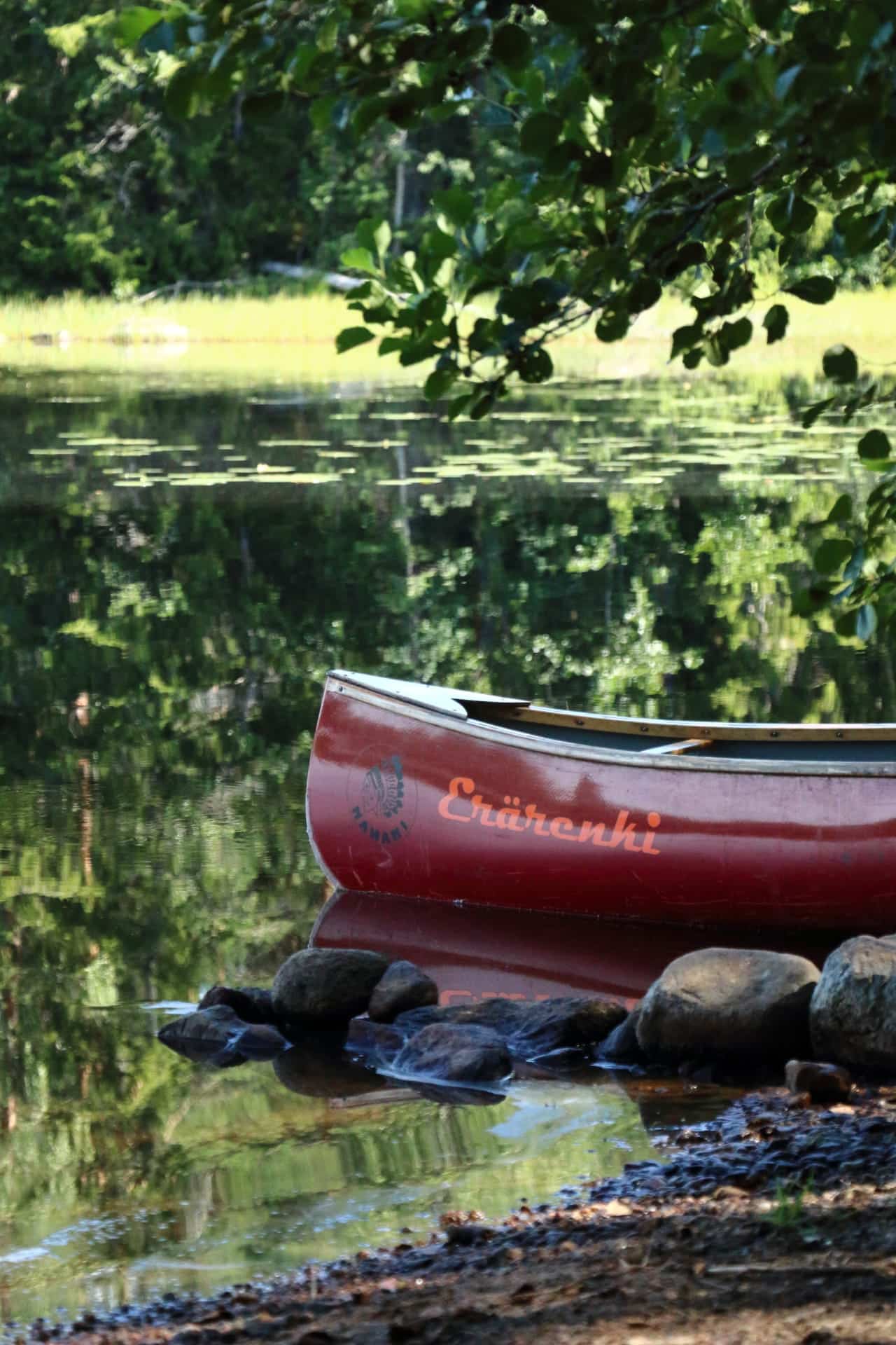
Canoe Rent in Liesjärvi National Park
Self guided paddling trip to the beautiful landscape of...
Read more Canoe Rent in Liesjärvi National Park -

Restaurant Villa
Stylish surroundings, immediate and warm service and, above all,...
Read more Restaurant Villa -

Jokioinen Museum Railway
The Jokioinen Museum Railway offers enjoyment and excitement to...
Read more Jokioinen Museum Railway -

Forssa Spinning Mill
Visit museums and exhibitions, and enjoy refreshments at the...
Read more Forssa Spinning Mill -

Restaurant Tallitupa
Custom restaurant for groups, business meetings and family party....
Read more Restaurant Tallitupa -

Liesjärvi National Park
Spend a day at Korteniemi Heritage Farm to find...
Read more Liesjärvi National Park -
VillaUlpu
Wilderness Cabin Holiday
Read more VillaUlpu
Villa Ulpu offers accommodation in a beautiful... -

Kultakukkura Villas
Cosy and Modern Kultakukkura Villas by the Lake Pyhäjärvi.
Read more Kultakukkura Villas
These... -

Hevossilta Wooden Cabins
We have 6 log cabins for rent all year...
Read more Hevossilta Wooden Cabins -
 Tervetuloa pyöräilijäSustainable Travel Finland
Eerikkilä Restaurant and Bar & Cafe 49
Since nutrition plays a crucial role in holistic wellbeing,...
Read more Eerikkilä Restaurant and Bar & Cafe 49 -

Pilvenmäki Racecourse
Pilvenmäki harness racing racecourse is situated in Pilvenmäki district...
Read more Pilvenmäki Racecourse -

Elonkierto Makasiini Café
In the Elonkierro Makasiini you will find an information...
Read more Elonkierto Makasiini Café -

Ronttismäki Factory Worker’s House Museum
Experience the living of local industrial workers and craftsmen...
Read more Ronttismäki Factory Worker’s House Museum -

Villaforss Summer Restaurant
Welcome to the beautiful English garden of Villaforss and...
Read more Villaforss Summer Restaurant


More nature sites
-
 array(0) {
}
lean-to, goahti (lapp tent shelter) or 'kammi' earth lodge
array(0) {
}
lean-to, goahti (lapp tent shelter) or 'kammi' earth lodgeHyvikkälä fireplace
Tapialantie 2 , Janakkala
Campfire hut by the Hyvikkälä VPK building and sports field in the middle of the village.
Read more about the nature activity Hyvikkälä fireplace -
 array(0) {
}
cooking facilities
array(0) {
}
cooking facilitiesHietasalo campfire site I
Hietasalo , Hämeenlinna
A campfire site in a sheltered spot near the shoreline. Firewood is available near the campfire site. You...
Read more about the nature activity Hietasalo campfire site I -
 array(0) {
}
hiking route
array(0) {
}
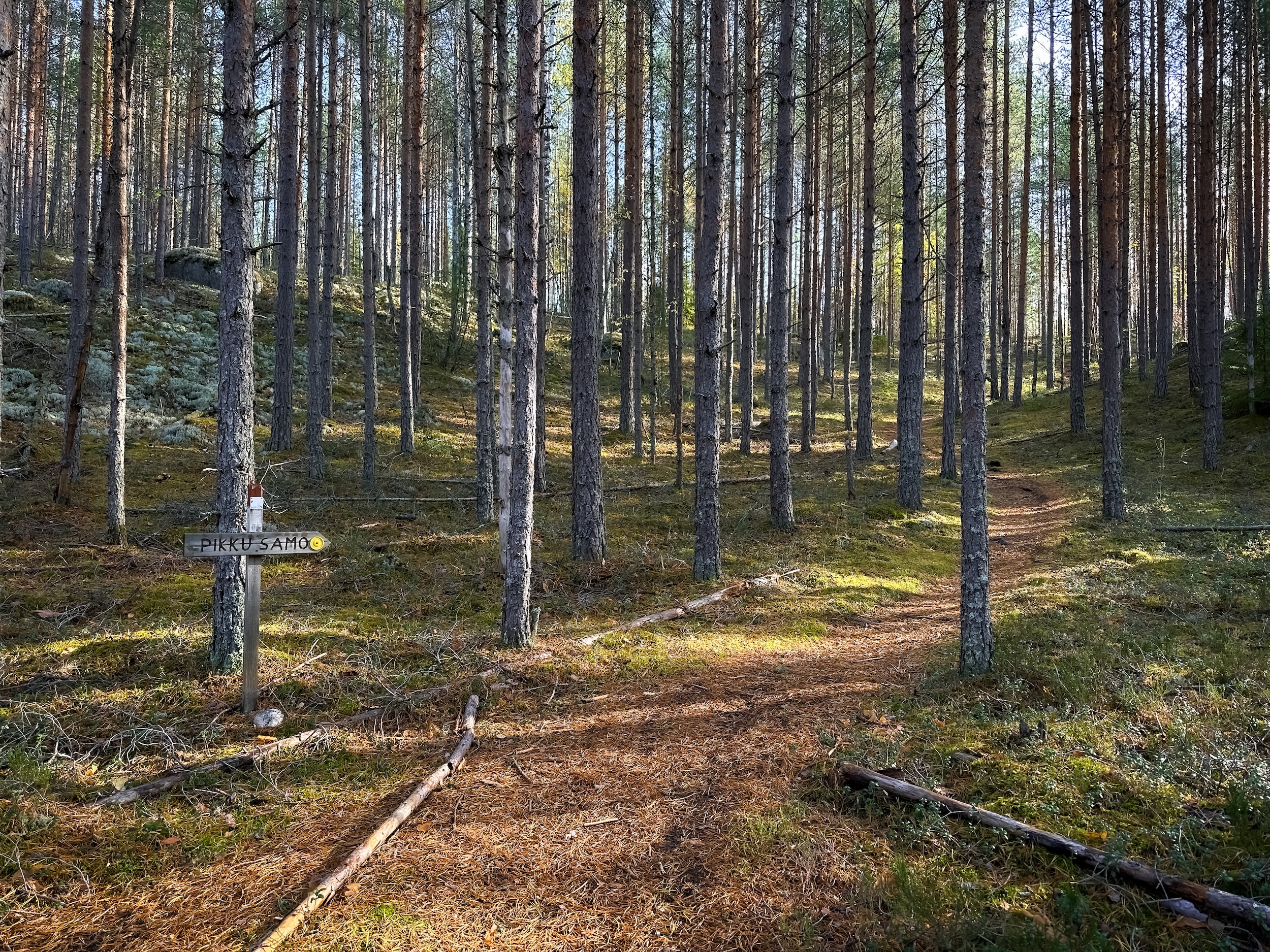
hiking routePikku-Samo
Luutasuo 243 , Loppi
An easy-going circular route, along which you may fall in love with Komio's varied ridge terrain. Pikku-Samo is particularly...
Read more about the nature activity Pikku-Samo -
 array(0) {
}
swimming site
array(0) {
}
swimming siteMäntysaari swimming place
Mäntysaari , Hämeenlinna
Read more about the nature activity Mäntysaari swimming place