 Häme
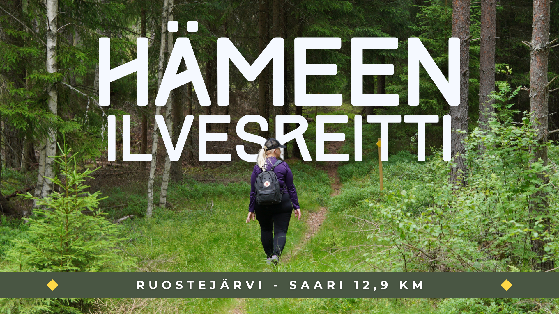
HämeLake Ruostejärvi – Saari route 12 km (The Häme Lynx Trail)
Urheiluopistontie, Tammela
Tammela
Ruostejärvi Recreation Area, Niinimäki Conservation Area and Folk Park of Saari
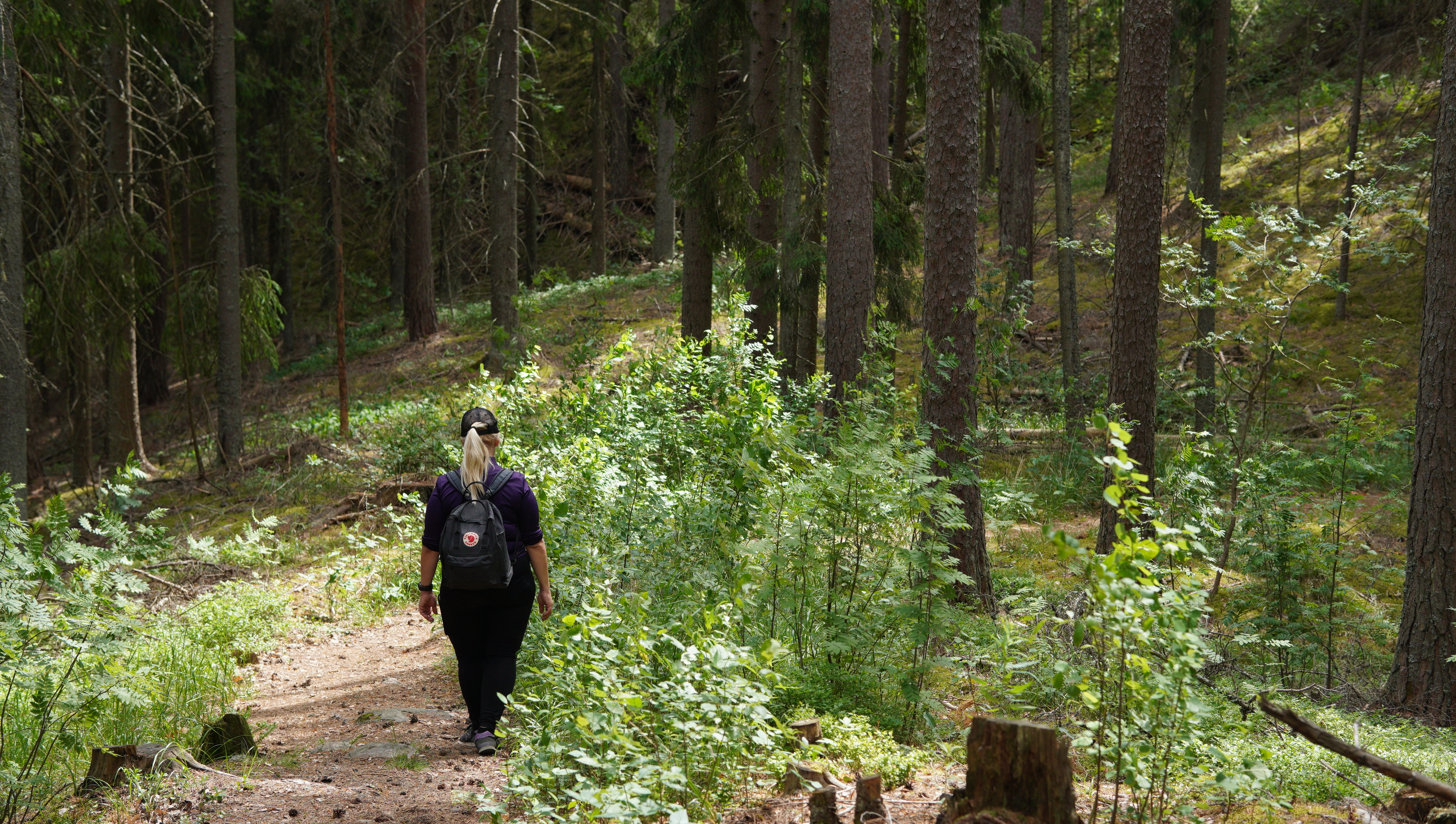
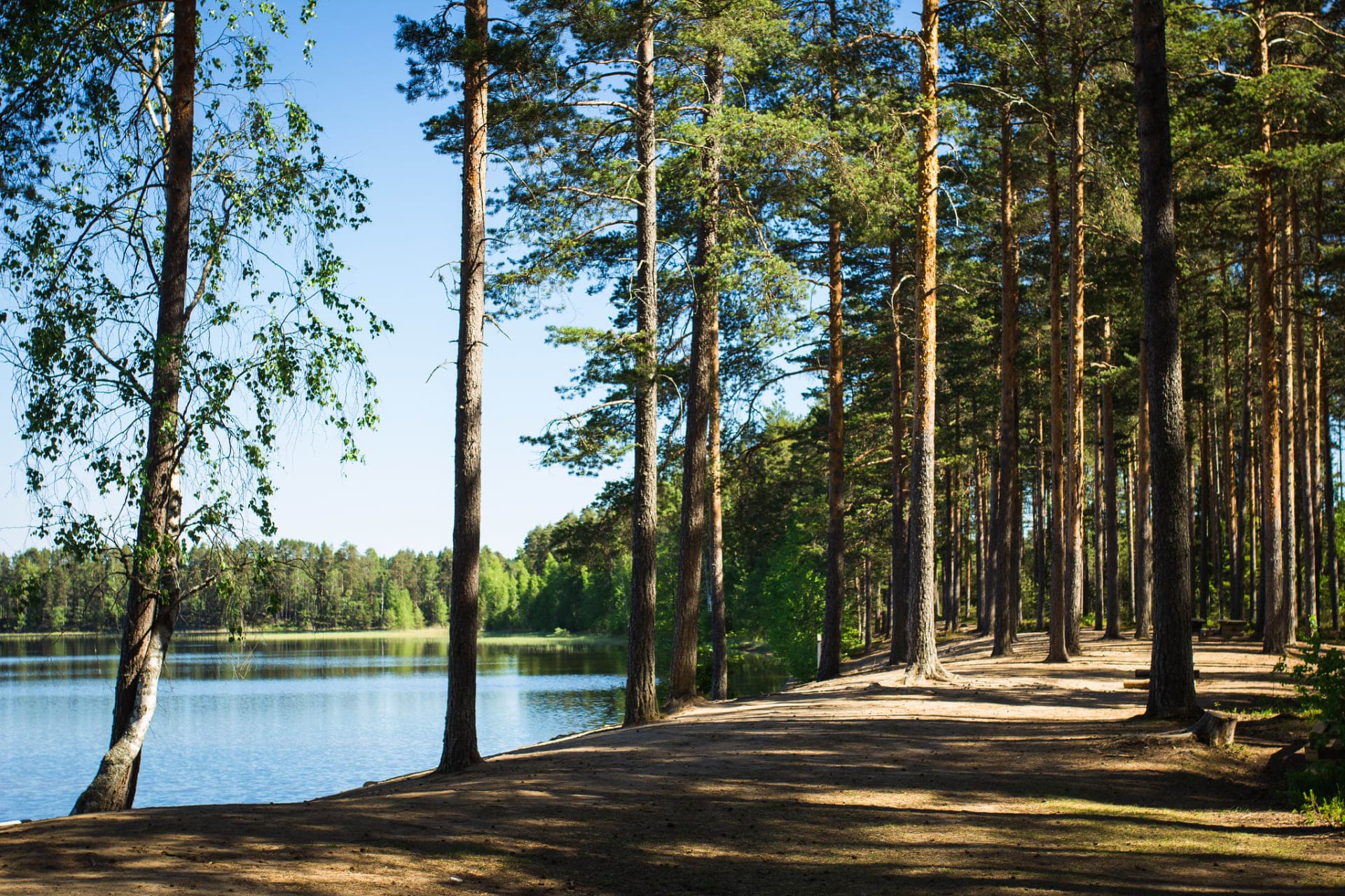
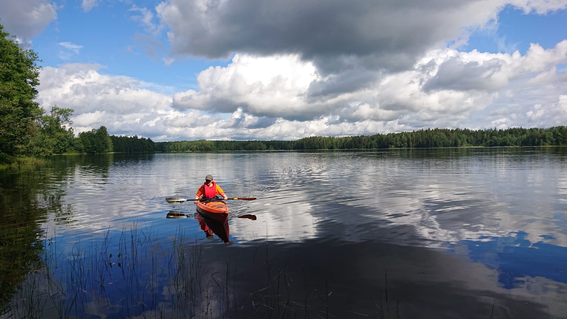
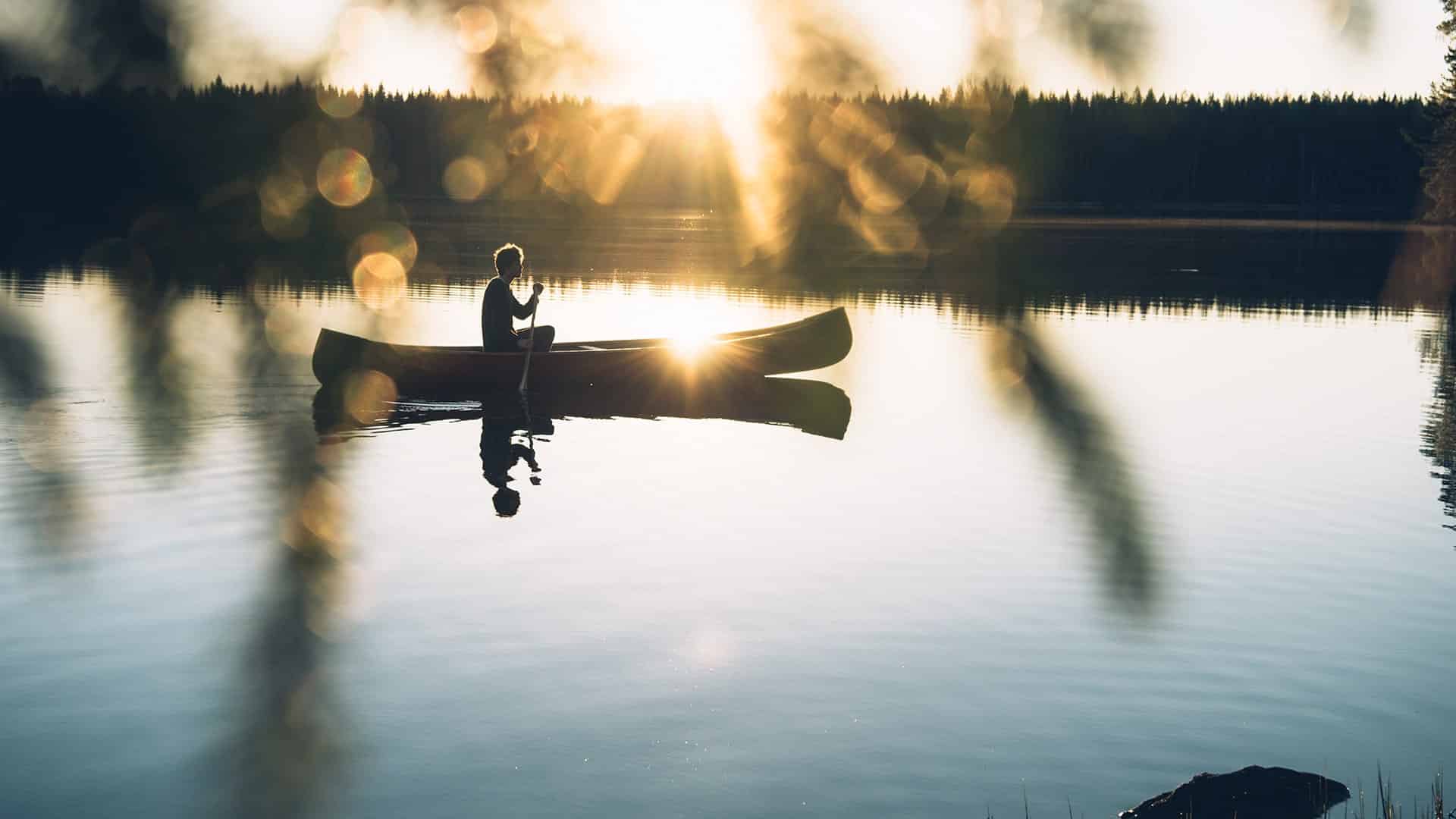
The Ruostejärvi - Saari Hiking Trail connects two popular hiking destinations in the Häme Lake Uplands; Ruostejärvi Recreation Area and Saari Folk Park. Both have been known for decades already as a peaceful destination for nature lovers and a source of recreation. The trail leads, for the most part, through pine dominant forest landscape, but the area's ridge slopes, natural lakes, winding shoreline, as well as, its small protected wetland add variety. Hikers can admire the beauty of the area's abundant number of plant species, check out the area's berry and mushroom crop and listen to the murmur of the wind in the pines or the concert of birdsong. At the end of an excursion hikers can rest at the sandy beach or take a dip in the bright, clear lake.
Description
The trail is not a circle trail, but it can be divided into two separate sections. Hikers can just as easily start hiking from Ruostejärvi Recreation Area, Folk Park of Saari or Eerikkilä Sports & Outdoor institute.
Ruostejärvi Recreation Area - Eerikkilä Sports Institute, 2 km
The trail sets off from Ruostejärvi Recreation Area.
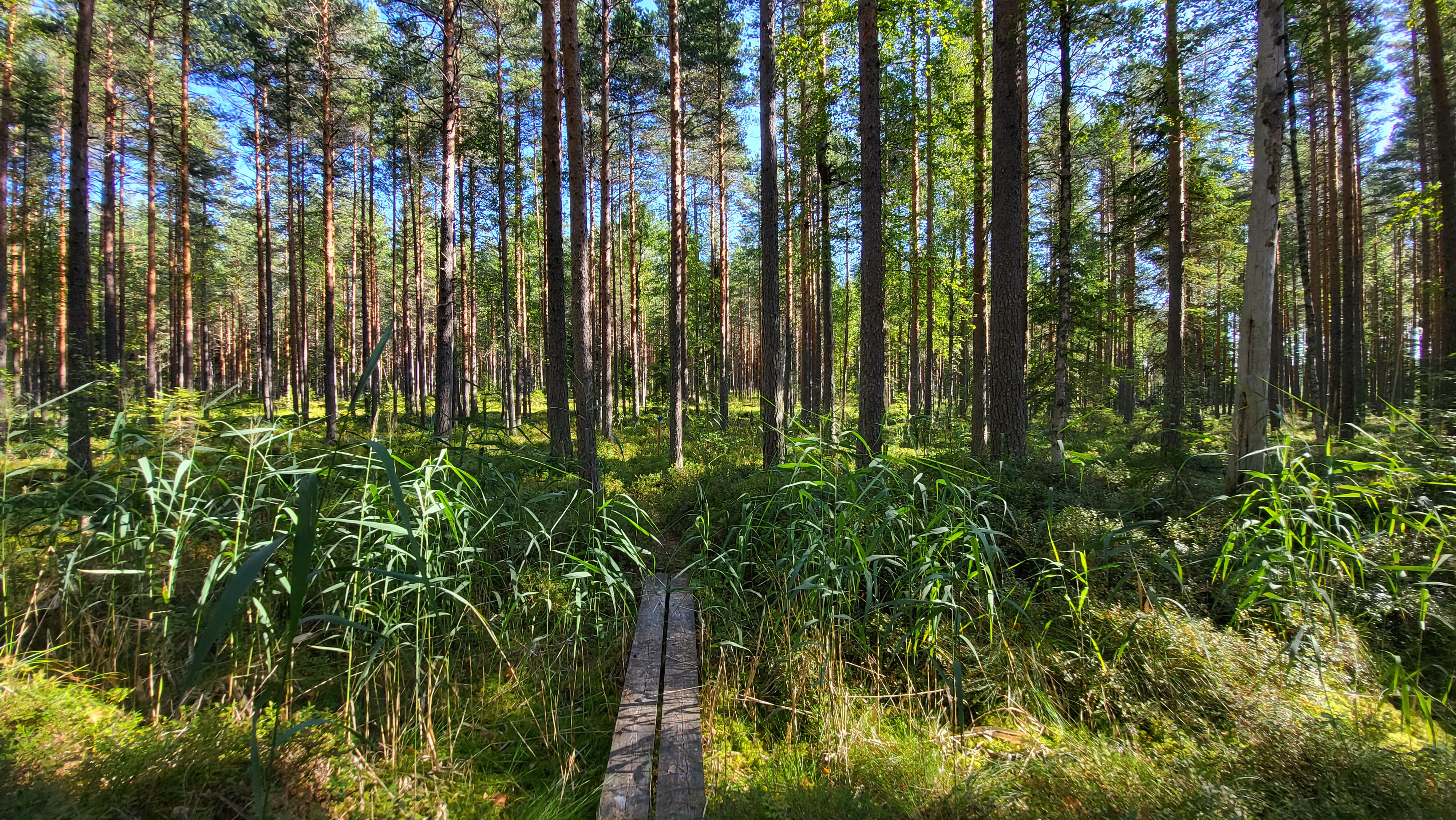
The trail heads from the recreation area parking gate building along duckboards via natural and built trails to Eerikkilä Sports Institute.
The trail leads, for the most part, through ridge landscape along the shores of Lake Ruostejärvi and Lake Leppilampi.
Eerikkilä Sports & Outdoor Institute - Folk Park of Saari, 12 km
The trail crosses the grounds of Eerikkilä Sports & Outdoor Institute; leading between the area's hotel and the football hall.
After passing Eerikkilä the trail leads northwest into a long forested portion of the trail following boundary lines to Niinimäki passing the Niinimäki ponds and the Niinimäki cliff wall.
At Niinimäki the trail turns northeast and leads through the small protected Niinimäki wetland in Torronsuo National Park.
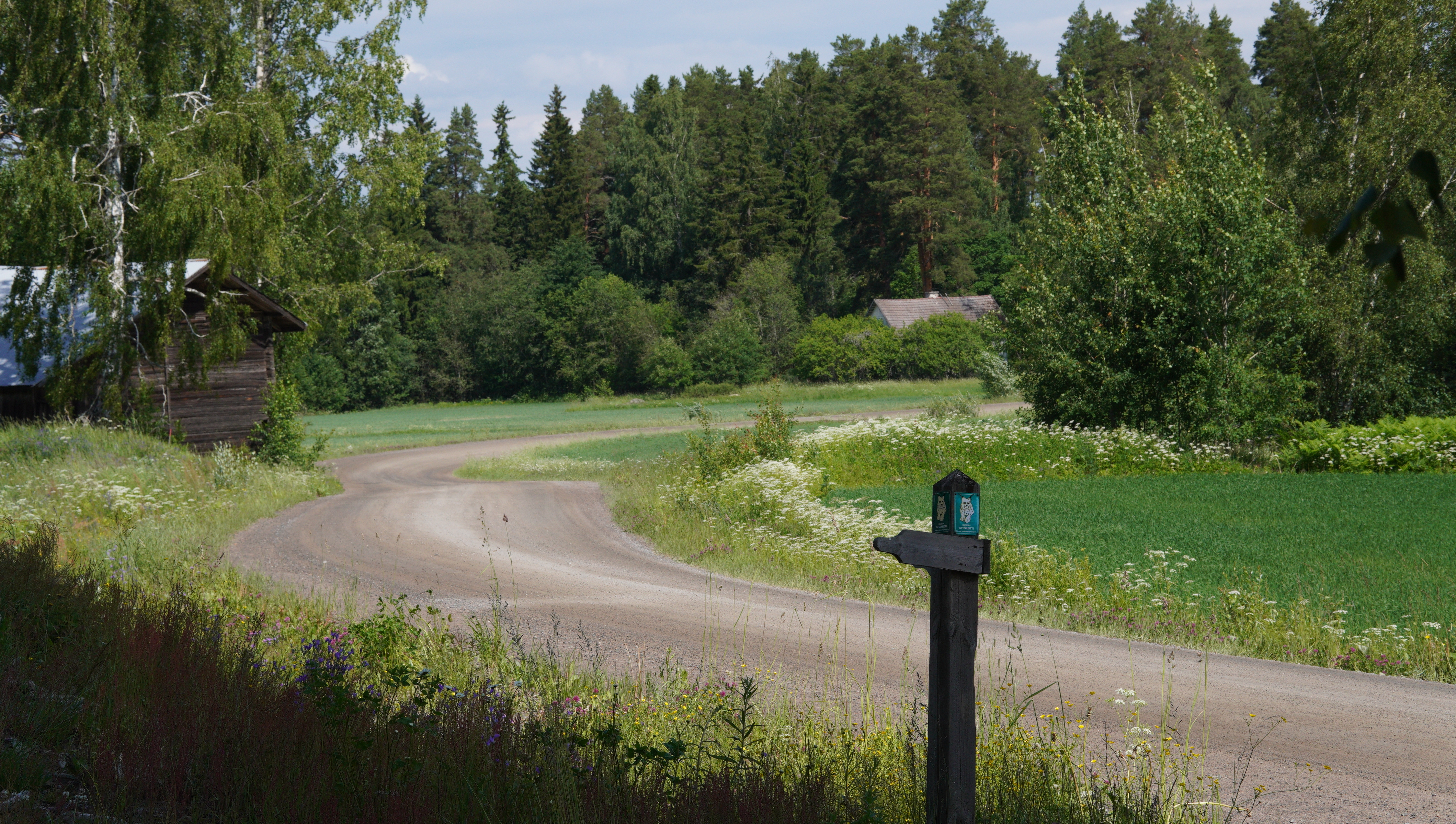
The trail to Folk Park of Saari continues through forest areas towards Kaukola Village. At first the trail leads along forest paths then changes into a forestry machine track and forest road and at the end of the route into a local road and then a village road in Kaukola.
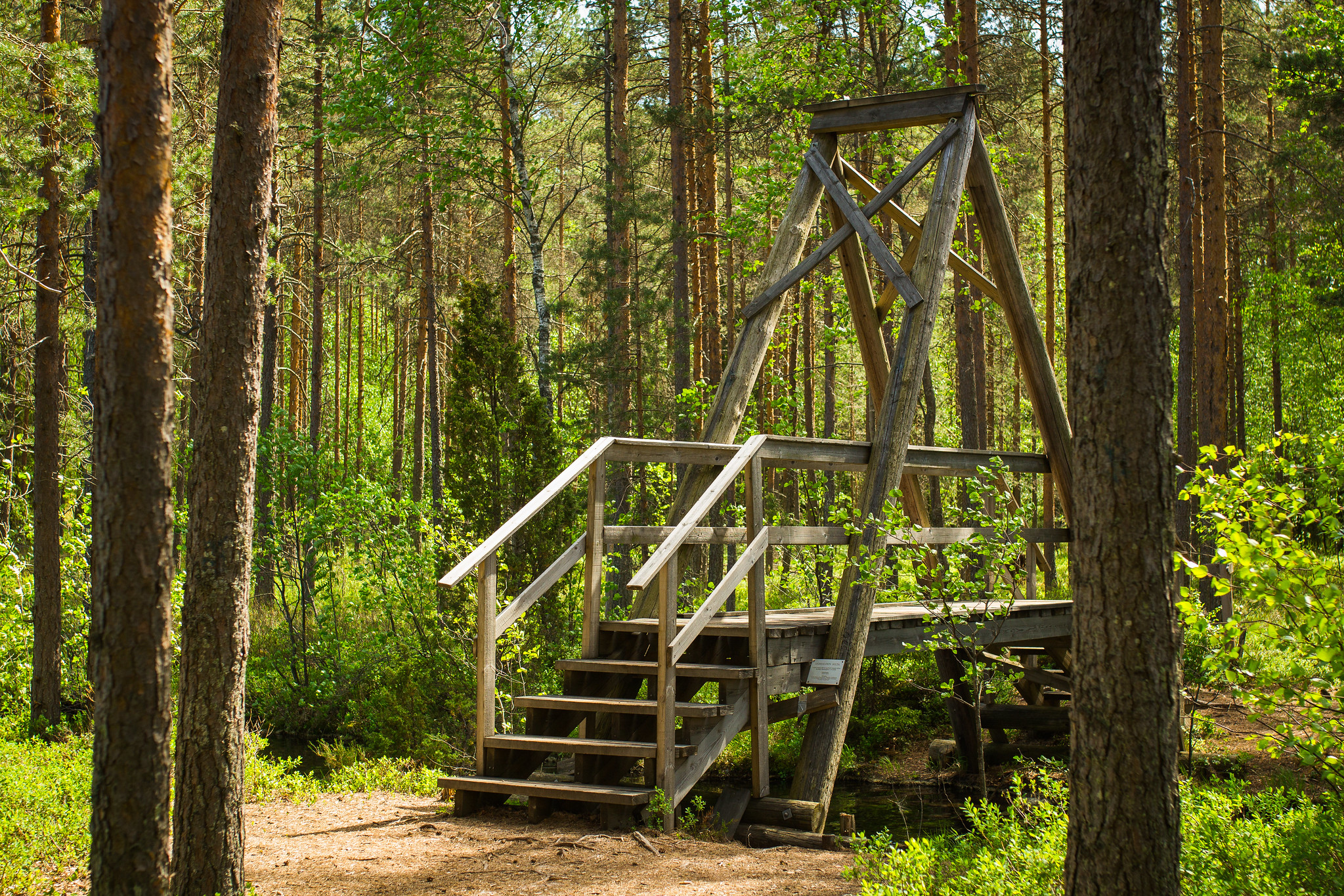
From Kaukola Village the trail climbs a private road onto Kaukola ridge, from where there is a spectacular view of ridge and lake landscape.
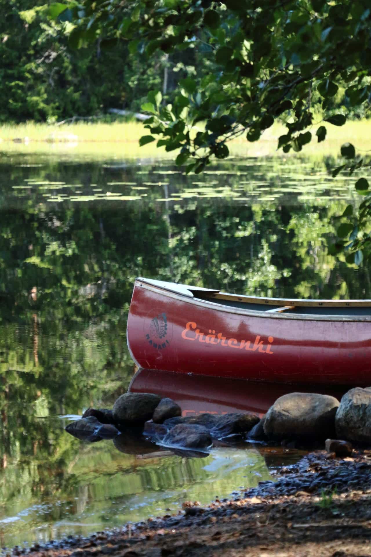
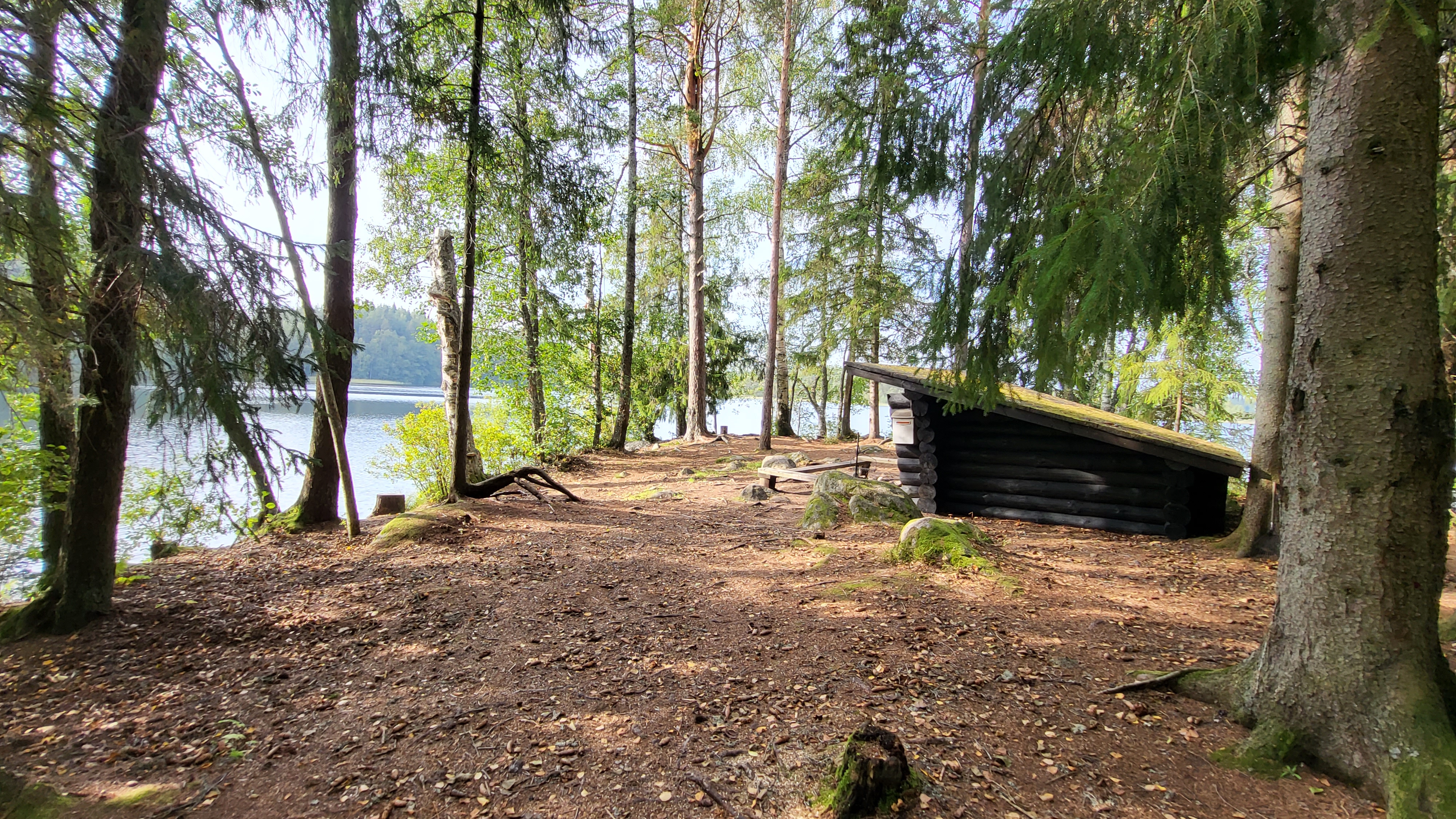
The trail passes Kaukola scenic lookout tower and descends into Folk Park of Saari, where hikers can find both a sandy beach and a swimming spot. There is a lean-to shelter, as well as, a campfire site and swimming spot in the southern portion of Folk Park of Saari near the River Kuivajärvi in the Raanpää area. Swimming spots are managed by municipality of Tammela.
Ending point: Saari Folk Park. Portaantie 472, 31300 Tammela.
Read moreInformation
Route duration
3 - 8 hours
Travel direction
clockwise
Route's length km
12.87
Rest places
2
Free access

Nearby services
-
Ruostejärvi Recreation Area
The Ruostejärvi Nature Recreation Area offers fantastic nature experiences...
Read more Ruostejärvi Recreation Area -

Restaurant Lounais-Hämeen Pirtti
Restaurant Lounais-Hämeen Pirtti is a traditional Finnish restaurant and...
Read more Restaurant Lounais-Hämeen Pirtti -
Kayak Rent in Liesjärvi National Park
Self guided paddling trip to the beautiful landscape of...
Read more Kayak Rent in Liesjärvi National Park -

Hykkilän Huvilat Lakeside Cottages
Would you like to relax, enjoy fresh air and...
Read more Hykkilän Huvilat Lakeside Cottages -
 Tervetuloa pyöräilijäSustainable Travel Finland
Eerikkilä Villas and Holiday Apartments
The Eerikkilä Sport & Outdoor Resort provides a variety...
Read more Eerikkilä Villas and Holiday Apartments -
Portaan Nahkurinverstas Tannery Restaurant
Portaan Nahkurinverstas' Tannery Restaurant serves you in a 19th...
Read more Portaan Nahkurinverstas Tannery Restaurant -
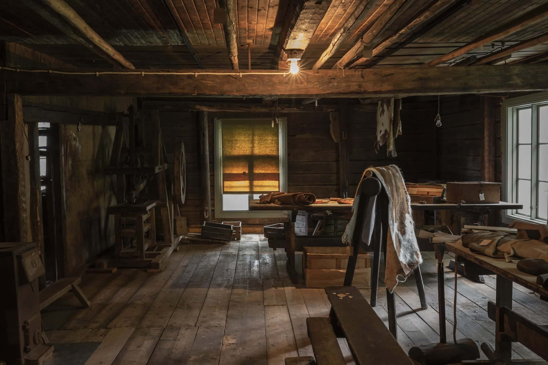
Tannery Museum
At Portaan Nahkurinverstas, a former tannery shop, you can...
Read more Tannery Museum -
Eerikkilä Sport & Outdoor Activity Equipment Rental
We have rental gear for you, whether you plan...
Read more Eerikkilä Sport & Outdoor Activity Equipment Rental -
Canoe Rent in Liesjärvi National Park
Self guided paddling trip to the beautiful landscape of...
Read more Canoe Rent in Liesjärvi National Park -
Portaan Nahkurinverstas Apartments
Portaan Nahkurinverstas' spacious apartments for 1-6
Read more Portaan Nahkurinverstas Apartments
people are located in... -

Hilupilttuu
Rental Cottage in Nature and Countryside - Hilupilttuu
Read more Hilupilttuu
• AROUND... -

Villa Vuorenpää
Nostalgic Country House Villa Vuorenpää
Read more Villa Vuorenpää
• AROUND THE YEAR
Villa Vuorenpää... -
VillaUlpu
Wilderness Cabin Holiday
Read more VillaUlpu
Villa Ulpu offers accommodation in a beautiful... -

Villa Lake Kuivajärvi
Villa Lake Kuivajärvi is a holiday cottage with all...
Read more Villa Lake Kuivajärvi -
 Tervetuloa pyöräilijäSustainable Travel Finland
Eerikkilä Restaurant and Bar & Cafe 49
Since nutrition plays a crucial role in holistic wellbeing,...
Read more Eerikkilä Restaurant and Bar & Cafe 49

More nature sites
-
 array(0) {
}
other nature conservation area with recreational services
array(0) {
}
other nature conservation area with recreational servicesMelkuttimet
Honkapolku , Loppi
The clear-water lakes and pristine marshes of the Melkuttim invite you to take a breather in the midst of...
Read more about the nature activity Melkuttimet -
 array(0) {
}
biking route
array(0) {
}
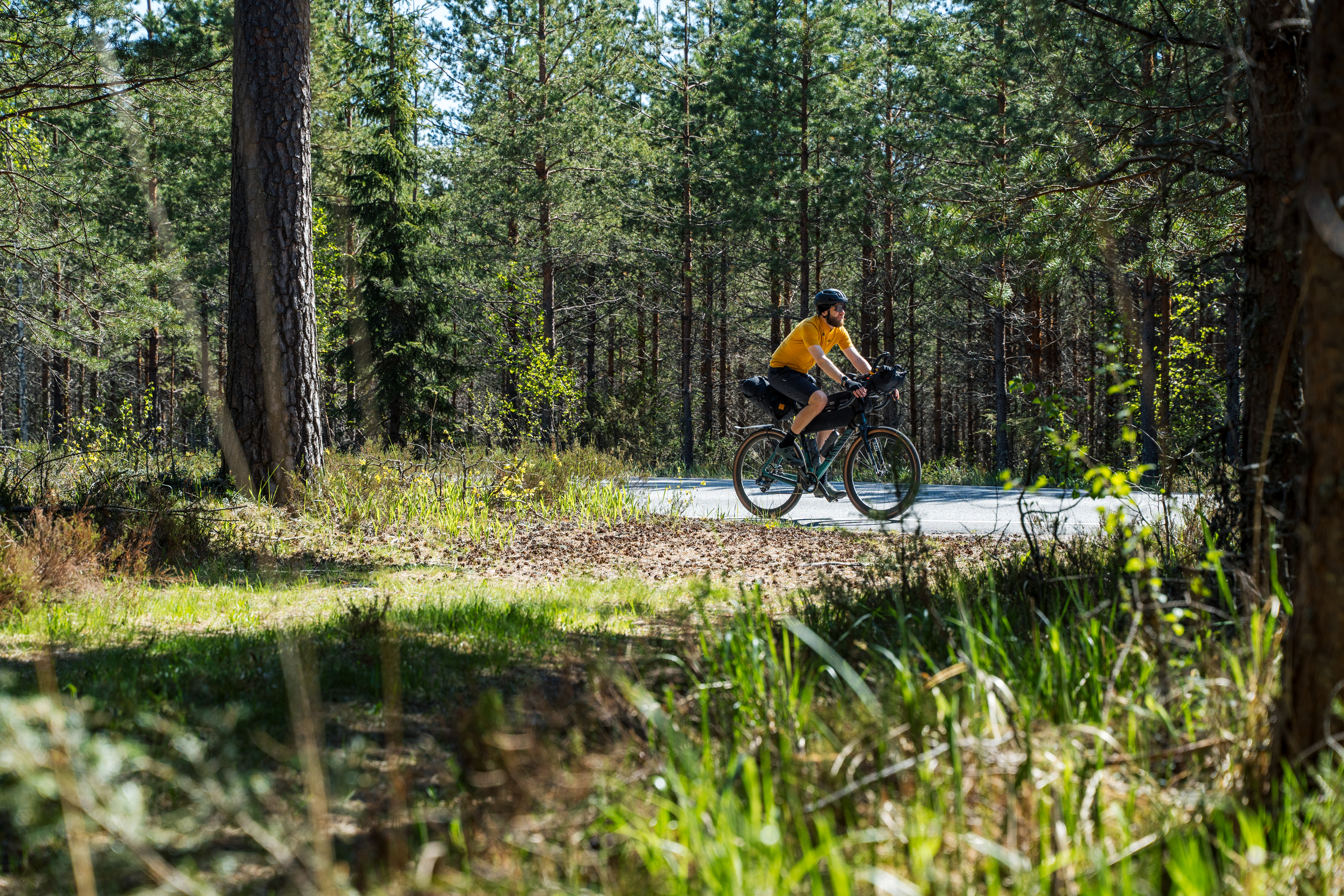
biking routeHäme by Cycle: Vikings Route
Asema-aukio , Riihimäki
The Viking Loop is the main route of the Häme by Cycle network – a 560-kilometre gravel and bikepacking...
Read more about the nature activity Häme by Cycle: Vikings Route -
 array(0) {
}
outdoor area
array(0) {
}
outdoor areaPääjärvi Nature Recreation Area
Härkätie 1126 , Hämeenlinna
Fairytale moss forests, ridge trails, and traces of the Ice Age on the shores of peaceful Lake Pääjärvi. At...
Read more about the nature activity Pääjärvi Nature Recreation Area -
 array(0) {
}
hiking route
array(0) {
}
hiking routeKivijärvi Loop Trail 27 km (The Häme Lynx Trail)
Antinsuontie 402, tervalammin pysäköintialue , Tammela
The Kivijärvi Loop Trail leads you along winding forest paths and peaceful lakeshores, offering peace and solitude. The paths...
Read more about the nature activity Kivijärvi Loop Trail 27 km (The Häme Lynx Trail)