Häme by Cycle: Odin’s Journey
From the Forssa Cotton Spinning Mill to a Tour of Two National Parks
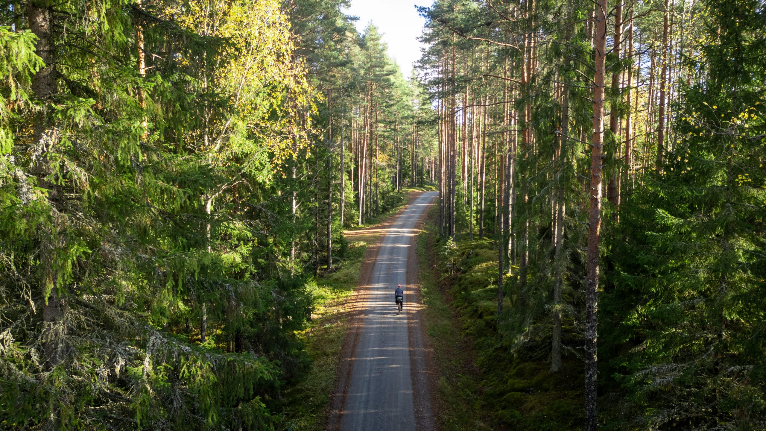
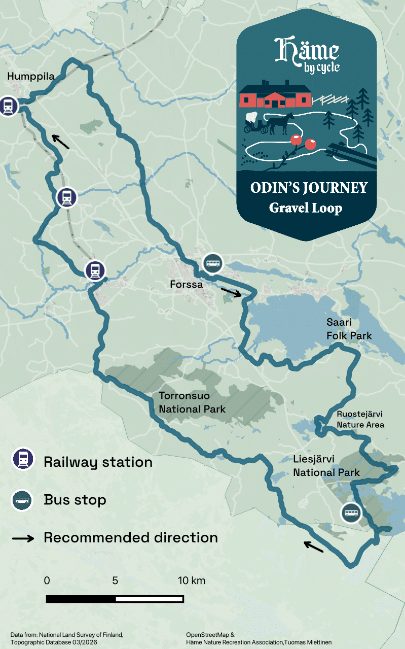
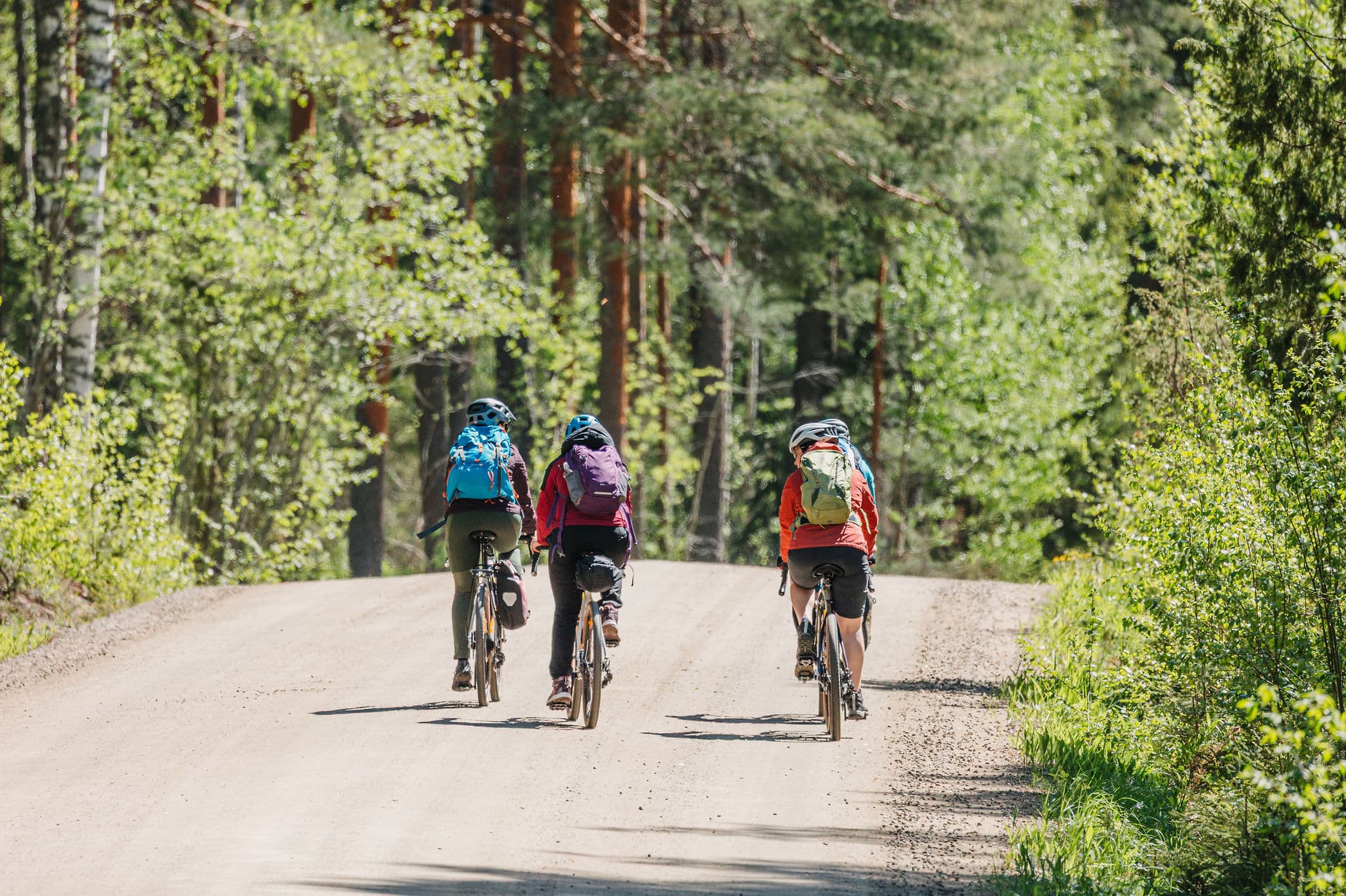
Odin’s Journey is a circular route of 140 km and 3-5 days connecting Forssa to Tammela, Jokioinen, and Humppila along dirt roads and paved country lanes. The route passes through the lush forests of Liesjärvi National Park and the beautiful Kyynäränharju ridge, along the side of Torronsuo National Park towards Jokioinen Museum Railway.
From hilly, wooded landscapes, the route leads to flatter and more fertile rural landscapes. Along the route, you can camp for the night in nature reserves and camping sites, or totally without a tent, staying in local accommodations and hotels.
Odin’s Journey is a peaceful route in the middle of nature with plenty of experiences for those interested in culture, too.
Length
140 km
Duration
2-3 days
Total ascent
898 m
Highest point
148 m
Unpaved
71 %
Singletrack
2,4 %
Difficulty (1-6)
2-3
Rideable
100 %
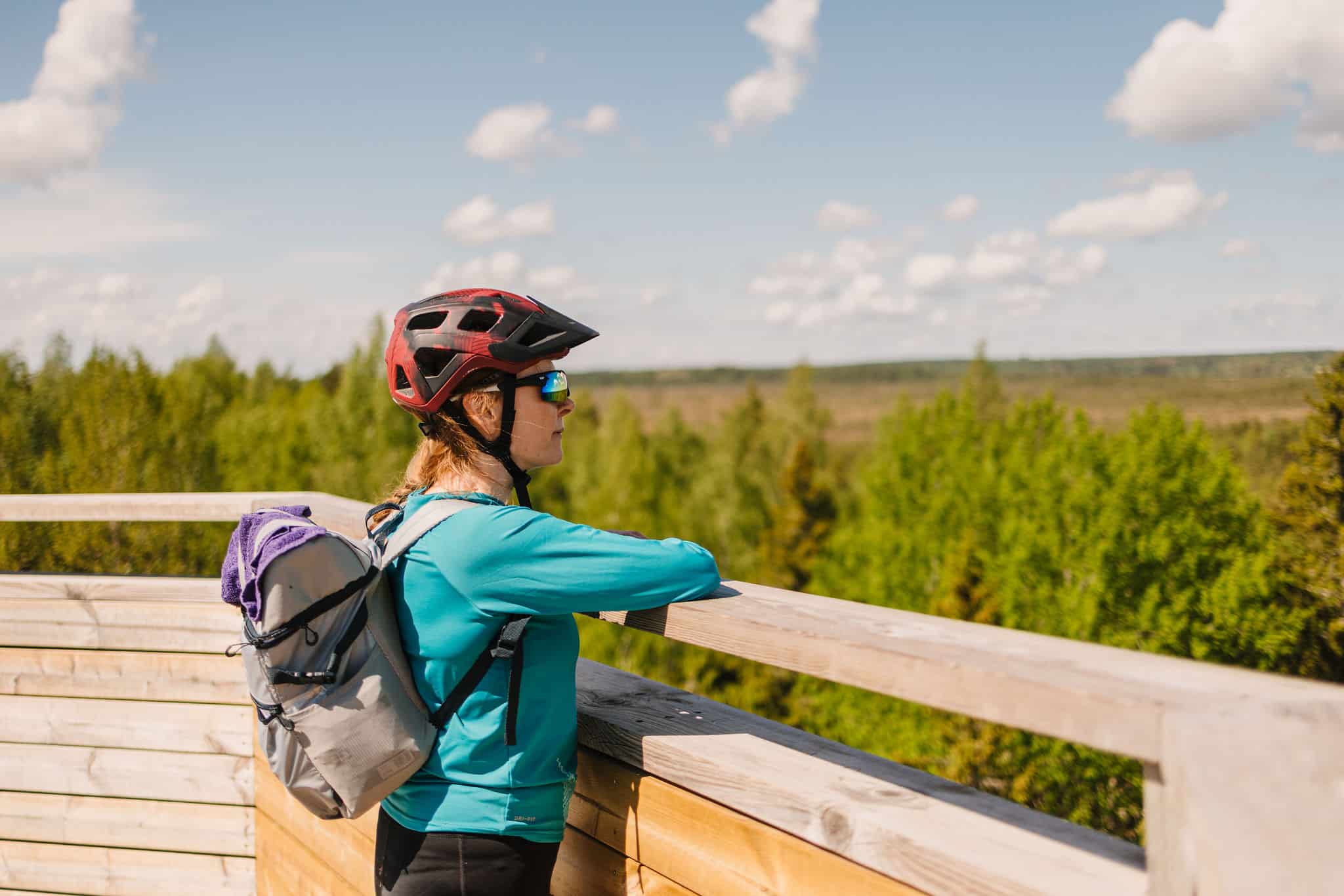
Experience forest landscapes and culture history
In ancient Finnish mythology, Ukko was the supreme god of sky, weather, and rain – powers that life depended on. His name still lives on in place names and folklore, symbolising both wisdom and strength. Across the north, the Vikings worshipped Odin, the ruler of gods and wisdom. Much like Ukko, he embodied the might of the sky and reminded people of their bond with nature’s forces.
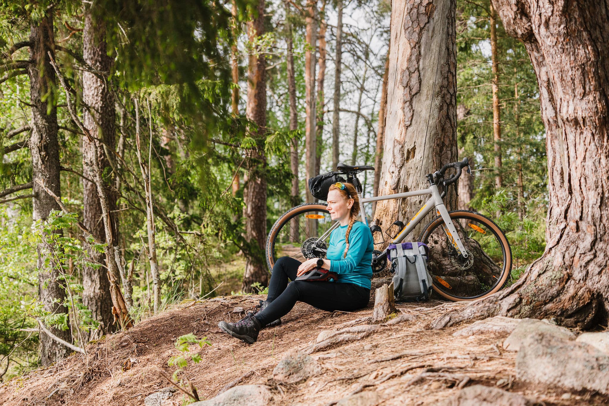
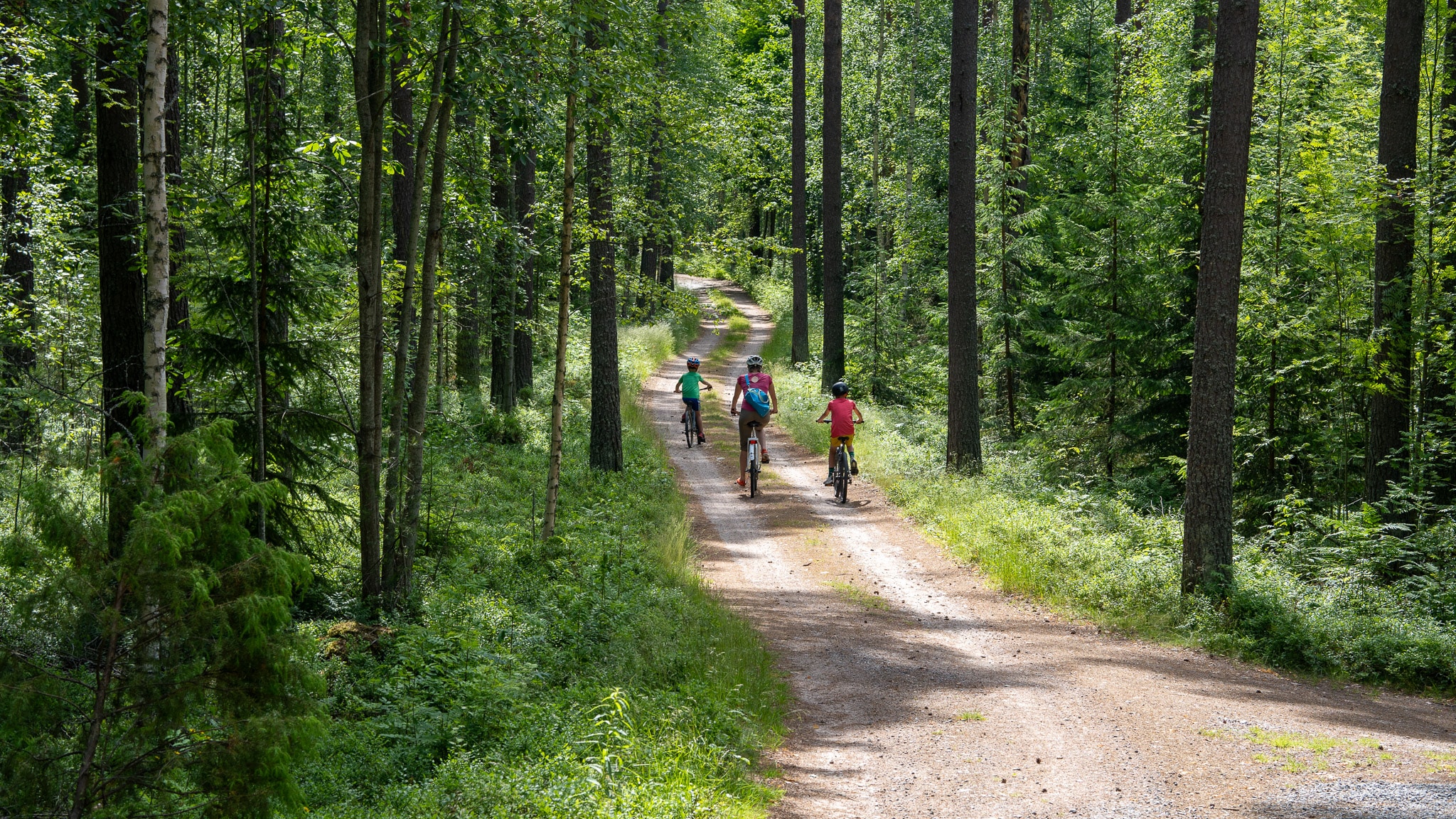
Odin’s Journey leads you into the varied landscapes of Kanta-Häme: peaceful ridges, lush green forests, and shimmering lakes. You can travel at your own pace, spending the night under the stars at lean-tos and campsites, or choosing the comfort of soft sheets in local accommodations and hotels. Along the way, you’ll experience the finest gems of Finnish nature and enjoy local flavours in charming village cafés.
Discover Southern Finland’s Finest Nature and Cultural Sights
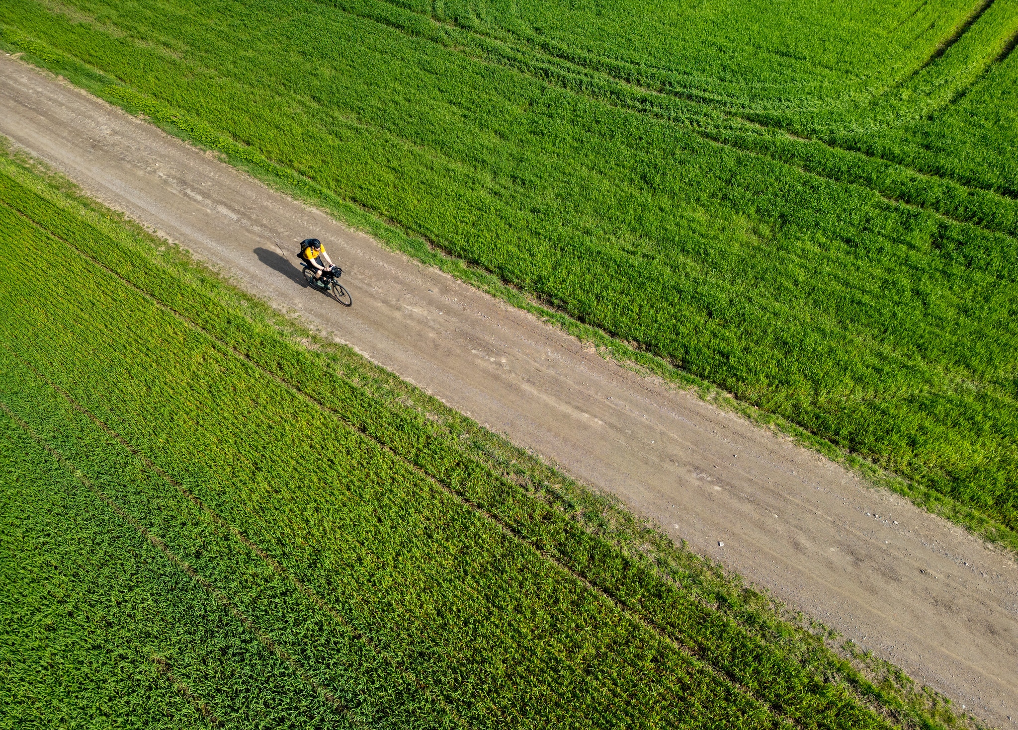
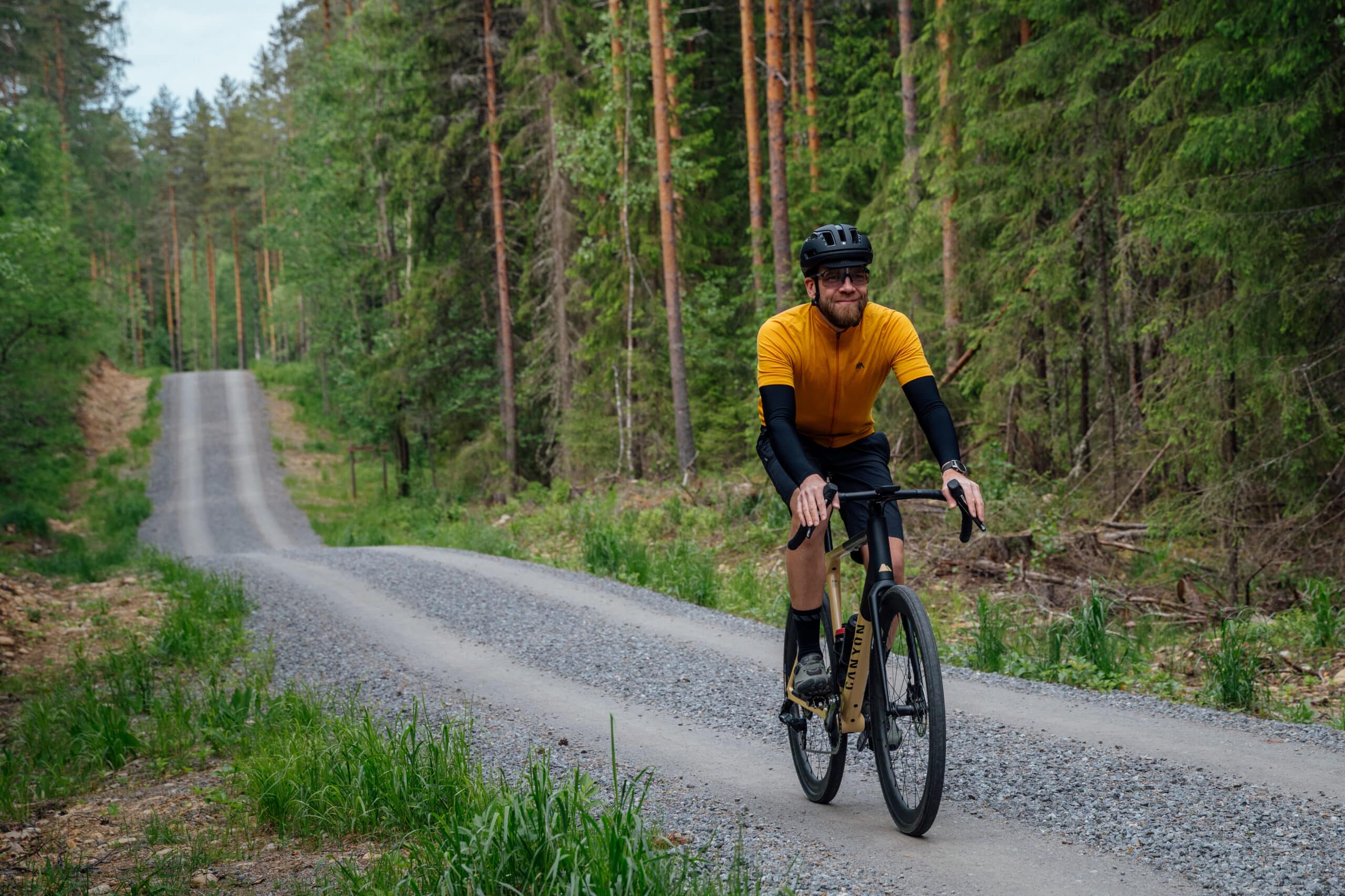
Odin’s Journey is a 136 km long cycle trail located in the westernmost part of the Häme by Cycle route in Kanta-Häme. We recommend you to take 2-3 days to enjoy the route without rushing, leaving plenty of time to experience the natural and cultural sites along the way. The route is best suited to those with some experience of cycling, and the varied terrain also provides a reasonable challenge for experienced cyclists. The route starts in Forssa, leading first to the Ruostejärvi Recreation Area and onwards through Jokioinen and Humppila before returning to Forssa.
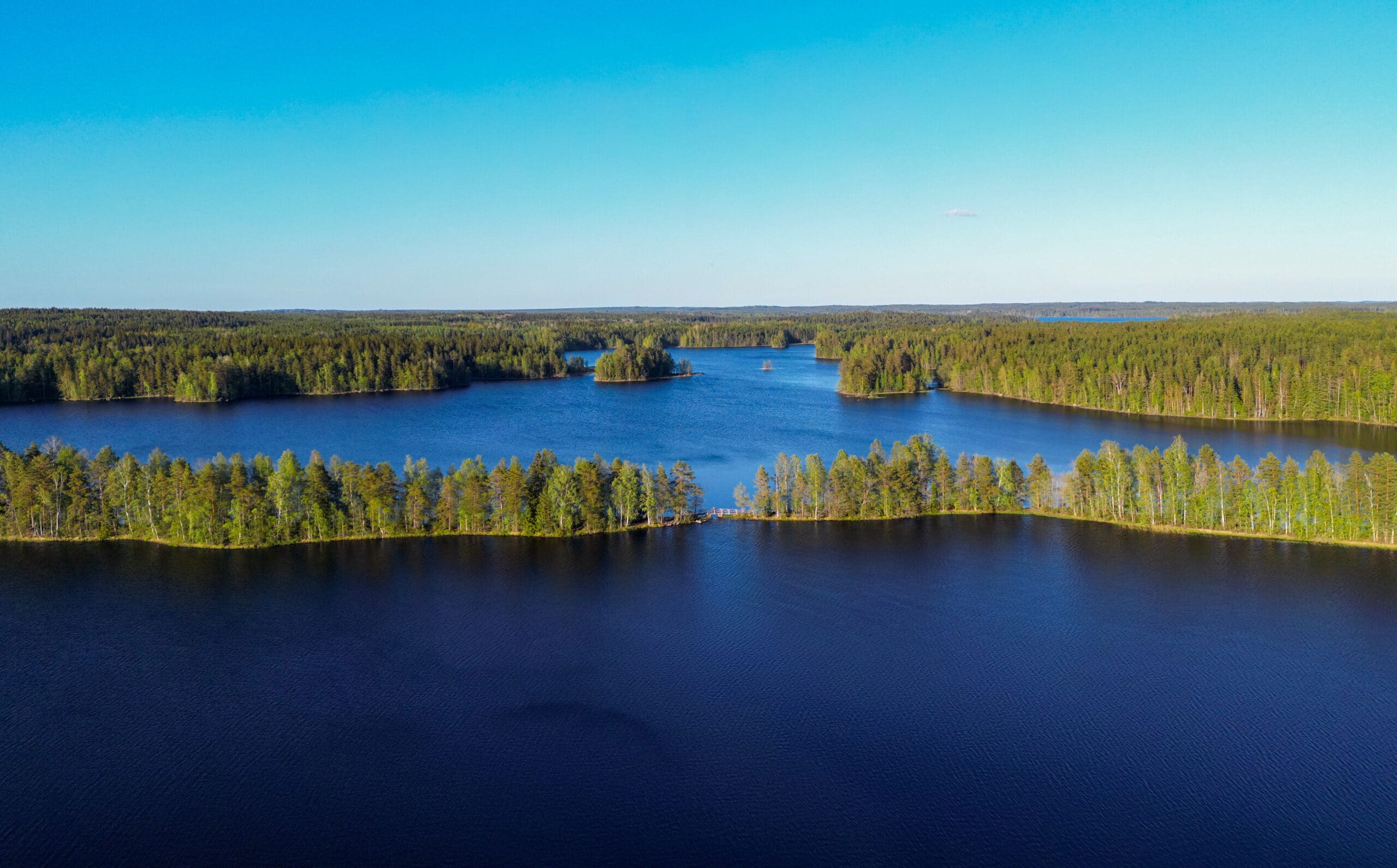
Along the way, you’ll pass through Liesjärvi National Park with its peaceful ridges and lakes, and continue to Torronsuo National Park, where the observation tower opens up a view over Finland’s deepest bog. After Torronsuo, the terrain evens out as you reach Jokioinen. Here you can visit the museum railway, which is still in operation today. With a bit of luck and good timing, you can even board a steam train with your bike and ride towards Humppila station. From Humppila, the final stretch of the route is easygoing, bringing you back to Forssa along a charming, park-lined boulevard by the river.
Culture and history come alive along the route. Korteniemi Heritage Farm in Liesjärvi offers a glimpse into traditional Finnish farming life, while the Jokioinen Museum Railway connects visitors to the golden age of steam travel. In Forssa, the National Urban Park introduces you to the city’s industrial heritage and unique cultural landscape.
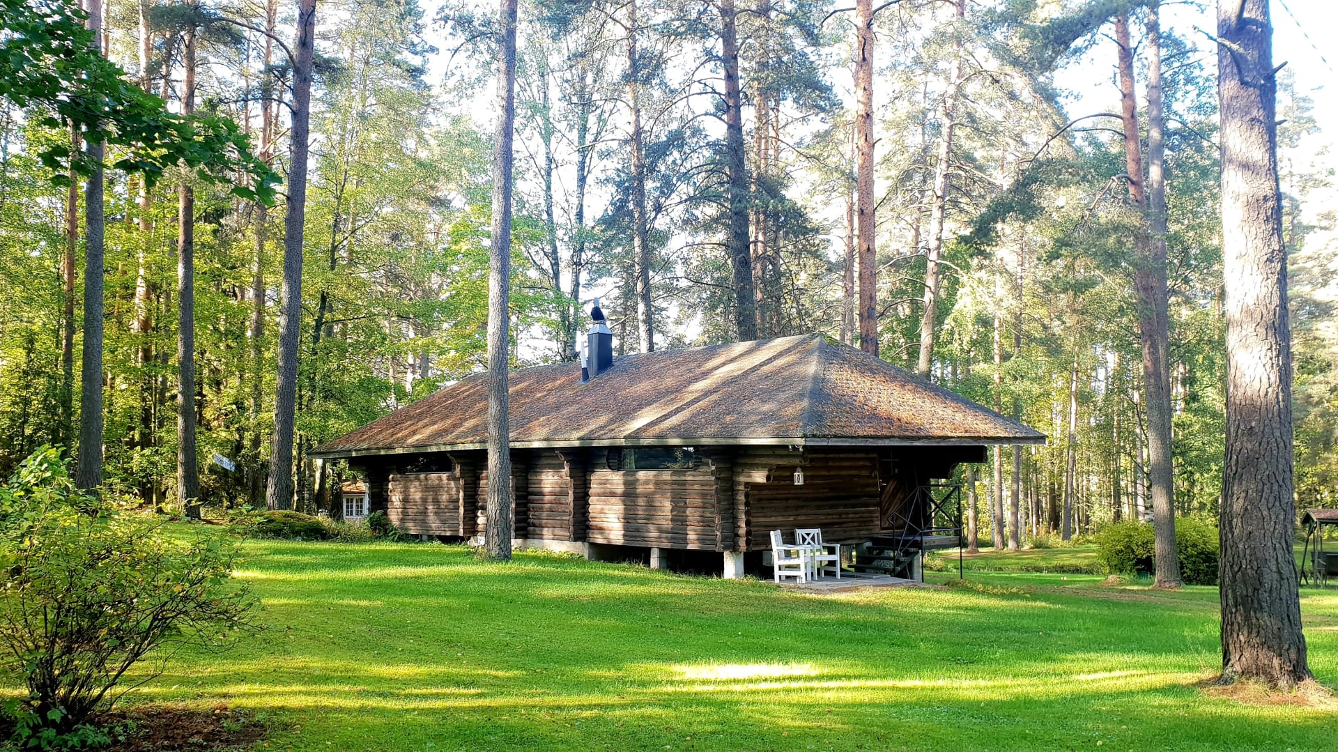
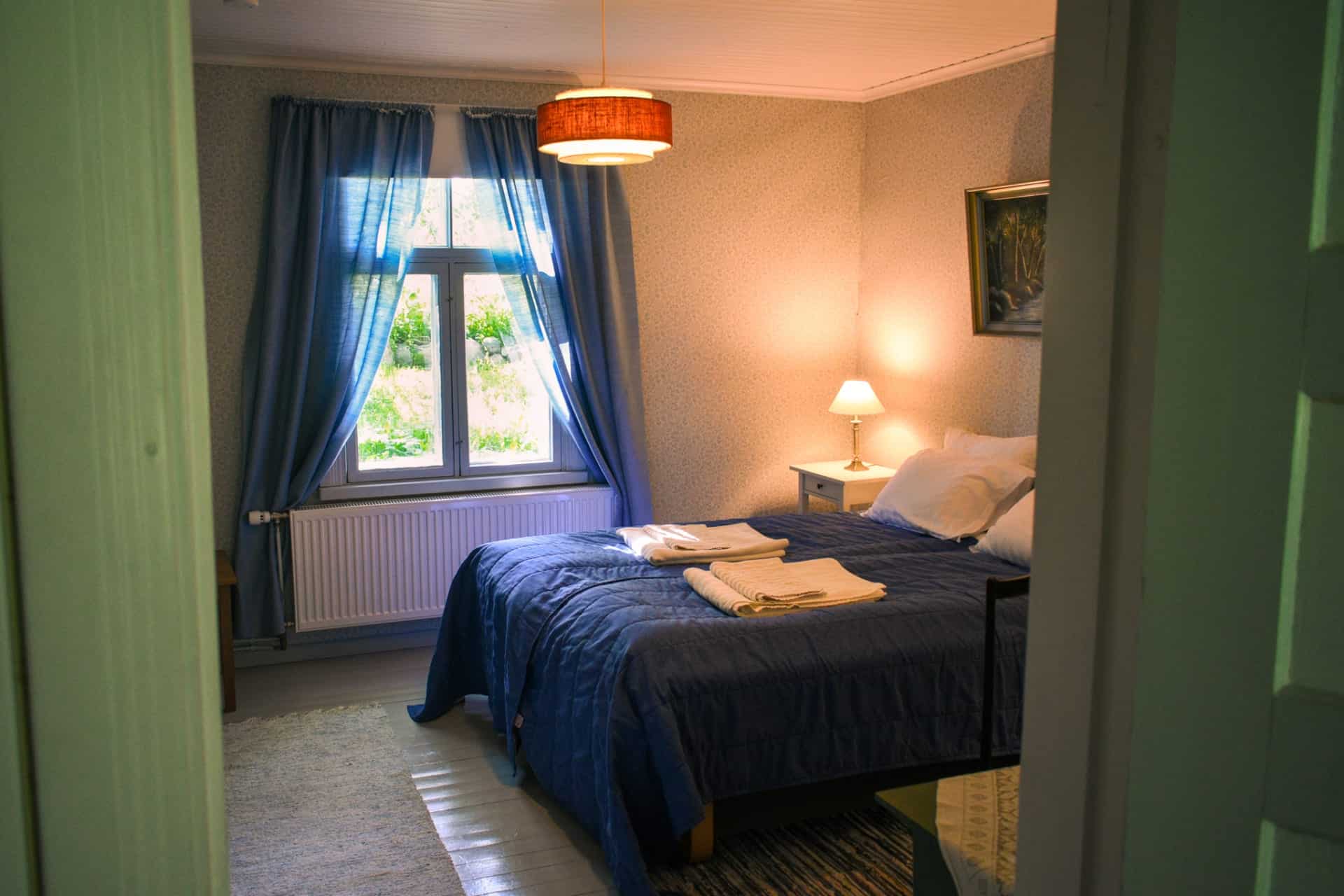
Accommodation options range from lean-to shelters and campfire sites in the national parks to local ins and hotels along the way. You can choose to spend the night under the stars or enjoy the comfort of soft sheets – or mix both for a perfect balance of outdoor adventure and relaxation. Seasonal cafés and restaurants open their doors in summer, making June to mid-August an ideal time to cycle the trail. Adventurers will also find Odin’s Journey rewarding in late spring or early autumn, when nature is at its most peaceful.
Route information
Odin’s Journey brings together vibrant town life, peaceful wilderness paths, fascinating cultural sites, and a variety of accommodation options. It is especially suited for adventurous gravel and touring cyclists who want to experience both the best of Finnish nature and the charm of local life.
The route is designed to be cycled in 3–5 days. A clockwise direction is recommended for Odin’s Journey, allowing riders to save the easiest terrain for the final stretch. Along the way, you can choose between spending the night under the stars at lean-to shelters or enjoying the comfort of local accommodations and hotels. Services and rest stops are scattered at convenient intervals, offering the perfect rhythm for the journey and moments to pause.
A gravel or mountain bike is recommended.
You’ll find a detailed route description at the bottom of this page.
Gravel biking and sauna – perfect Finnish nature experience
Rinse off the day’s dust in the saunas of the Forssa region. Choose from atmospheric smoke saunas, scenic lakeside saunas, an underground sauna, a floating sauna boat, and traditional shoreline saunas. Each is a perfect place to relax your muscles and enjoy the peace of the countryside after a day of cycling.
Highlights
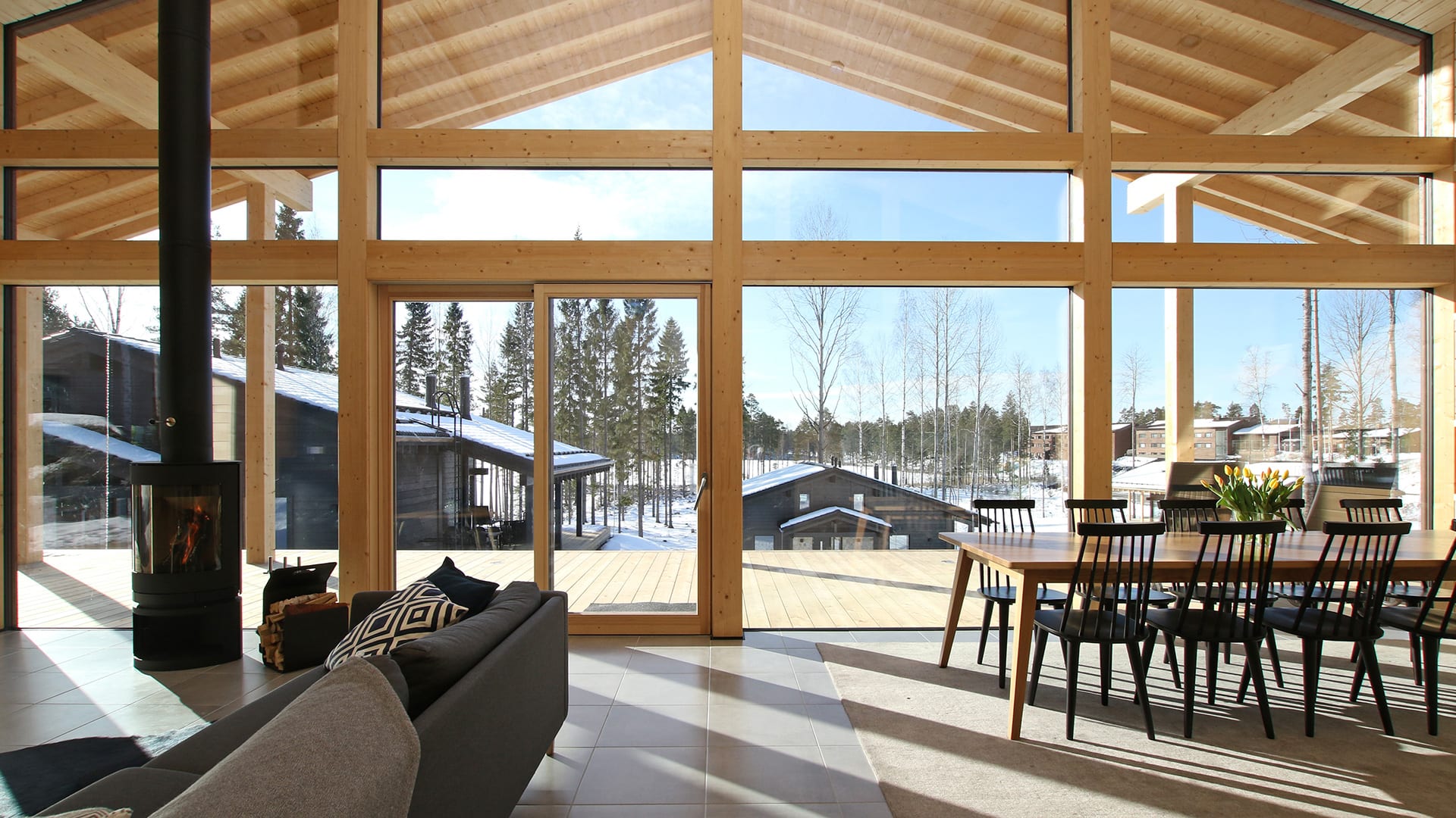
- A wide range of accommodation options, from luxury stays to lean-to shelters
- Liesjärvi and Torronsuo National Parks – stunning lake views and a scenic tower overlooking Finland’s deepest bog
- The historic Häme Ox Road – an ancient Viking trade route connecting past and present
- Opportunity to hop aboard a steam train with your bike on the Jokioinen Museum Railway
- Beautifully located rental cabins and lean-tos in the Liesjärvi area
- The idyllic courtyard of the traditional Korteniemi Heritage Farm
- Expansive grain fields and easygoing country roads
Good to know
- The route is rideable in three seasons: spring, summer, and autumn. It is at its best from May to September.
- Any well-maintained touring, gravel, or mountain bike is suitable for the route.
Tires should be at least 40 mm wide and puncture-protected. - Always stay on the marked route and try to use only the recommended campsites and rest stops mentioned in the route description.
- Respect the fragile nature and rural surroundings — never leave litter behind.
- Also follow the Outdoor Etiquette and the Mountain Biking Etiquette
- There are several points of interest along the route that are best explored on foot. Be sure to bring walking shoes and a lock to secure your bike when visiting these sites.
- There are fire pits along the route, but firewood supply may vary. It’s a good idea to carry your own camping stove.
- Fires are only allowed in designated places, and open fires are strictly prohibited during a forest fire warning. Check the Finnish Meteorological Institute’s website for current warnings.
- The route is guided only by digital navigation. Visit bikeland.fi for navigation tips and instructions for a successful trip.
- Mobile network coverage is available throughout the route area. In case of emergency, you can always call 112 or use the 112 app.
- The route crosses major roads (Highway 2 and Main Road 54) as well as a railway level crossing — please use extra caution at these points.
Accommodation
You can stay overnight:
- At designated campfire sites or shelters
- In commercial accommodations along the route
- Using Everyone’s Rights (within the legal framework)
🔹 Note: Camping is prohibited in Torronsuo National Park.
Most campsites have toilets and firewood. Drinking water is usually available from lakes, though it’s recommended to purify it before use (by boiling, filtering, or chemicals).
There are a few high-quality local inns and hotels along the route. Many offer dinner and breakfast, but it’s advised to book in advance and check that they can store bikes safely.
Food & drink
- Along the route, you’ll find restaurants, cafés, and shops in towns and nearby areas. On the first stretch between Eerikkilä and Jokioinen, a 60 km section has no shops or restaurants.
- Opening hours in rural areas may vary seasonally, so plan your journey in advance and check the latest opening times before setting out. Many of the route’s cafés, kiosks, and shops will refill water bottles, but it is recommended to carry enough food and drink for at least one full day.
- When planning overnight stays or cycling on hot summer days, water needs increase. We recommend carrying at least three litres of drinking water to reduce the risk of running out, especially in more remote sections.
- When visiting lean-tos and campfire sites, always pay attention to forest fire warnings. Open fires are prohibited during these warnings, even at most designated campfire sites. Current warnings are available on the Finnish Meteorological Institute website.
- For camping, note that recommended sites usually do not have drinking water available. Bring water from the nearest water point. Natural water, such as lake water, must always be treated before use – either by boiling or using a water filter or purification device.
- Water points: Korteniemi – see luontoon.fi for locations and treatment instructions.
Difficulty
The route mostly follows technically easy gravel roads and comparable forest service roads. In towns and urban areas, it runs mainly on paved roads. There are also a few short trail sections. Climbs occur mainly in the first half of the route, but they are short, typical of southern Finland. The second half is mostly flat.
A minimum tyre width of 40 mm is recommended, though experienced riders can manage with narrower tyres. The route can be cycled in either direction without significantly affecting the length of the daily rides.
⚠️ Be cautious when crossing roads, and note that many village roads have narrow shoulders.
Major road crossings along the route:
- After Korteniemi in Liesjärvi, you cross Highway 2 and ride along the roadside for about 100 m.
- From Jokioinen towards Torronsuo, you cross Highway 10 using a pedestrian crossing. This section is flat, with good visibility in both directions.
- From Humppila to Matkuntie, you cross the busy Highway 2.
- On the way from Matkuntie towards Kuuma, there is a level railway crossing. Take extra care and never cross when a train is approaching.
The route has a difficulty rating of 2–3. You can find the full difficulty classification table on bikeland.fi.
Arrival
Good public transport connections and convenient train–bike transfers make the route easily accessible for cyclists from all over Finland – whether you start your journey in Forssa or join the trail in Humppila.
By Train:
Humppila railway station is located on the route. VR trains stop here on the Turku–Toijala–Tampere line. On local trains, bikes can be carried free of charge without prior reservation. On long-distance trains, bike transport is subject to a fee and requires a reservation.
If you plan to bring your bike on a long-distance train, remember to reserve a space in advance, especially in summer and on weekends when slots can fill quickly.
Check current timetables:
👉 vr.fi
By Bus:
You can also start or finish your cycling trip in Humppila, Tammela, or Jokioinen, all of which have regional bus connections. Direct express buses also serve Forssa from Helsinki and other cities in Southern Finland, making the route easy to reach without a car.
Forssa bus station serves as a starting point for the route. Buses to Forssa also stop at Kyynärä, right next to Liesjärvi National Park.
Check routes and timetables:
👉 matkahuolto.fi
👉 perille.fi
By Car:
The route can be started from several locations – check local parking regulations. Suitable starting points include town centres and the Ruostejärvi Recreation Area parking lot.
Parking is available in Forssa, Jokioinen, Humppila, Tammela, and at Ruostejärvi Recreation Area, where long-term parking is also possible.
Route description
From Forssa to Ruostejärvi (30 km)
Starting point: Forssa Bus Station
The journey begins along the urban road network at Forssa Bus Station, conveniently located near city services. Right next to the station are the Forssa Market Square and the Ankkalampi pond, creating a pleasant setting to start the ride. This is a good opportunity to stock up on food, as shops and restaurants are scarce along the early part of the route. If traveling clockwise, the next grocery store is in Jokioinen—about 90 km away.
Alternatively, the route can also be started from Humppila Railway Station.
Toward Tammela and Lake Pyhäjärvi
From the starting point, the route crosses the Loimijoki River. A birdwatching tower is located about 500 meters off the route nearby. The ride continues along a paved road on the western side of Lake Pyhäjärvi, passing by the Similä riding stables. A cycling path near Highway 2 transitions onto gravel roads, offering a change of scenery. There are several lakeside cottages for rent along the shores of Pyhäjärvi. The route briefly follows a cart track along the Häme Lynx Trail up the edge of a large hill—this section is best taken slowly.
Eerikkilä Sports & Outdoor Resort and Ruostejärvi Recreation Area
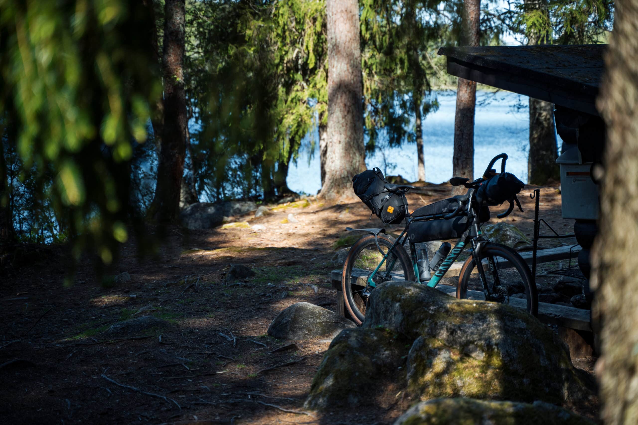
The route continues along a peaceful gravel road before joining the historic Hämeen Härkätie for a 3 km stretch of asphalt. Near Ruostejärvi, a nature trail loops around the lake. The Eerikkilä Sports & Outdoor Resort offers accommodation and restaurant services. From Eerikkilä, the route follows a unique forest ridge toward the Ruostejärvi Recreation Area. The ridge offers scenic views of both Lake Ruostejärvi and Lake Leppilammi. A small bridge takes you into the recreation area, which features a sandy beach, trails, fire pits, and toilets.
By the shore of Myllylahti, near the Härkätie and walking route to Eerikkilä, you’ll find the Myllylahti lean-to. It doesn’t have a wood supply but can be used for overnight stays. For a unique experience, take a short detour to Sarkinniemi where a hand-pulled ferry—even suitable for bikes—crosses the water.
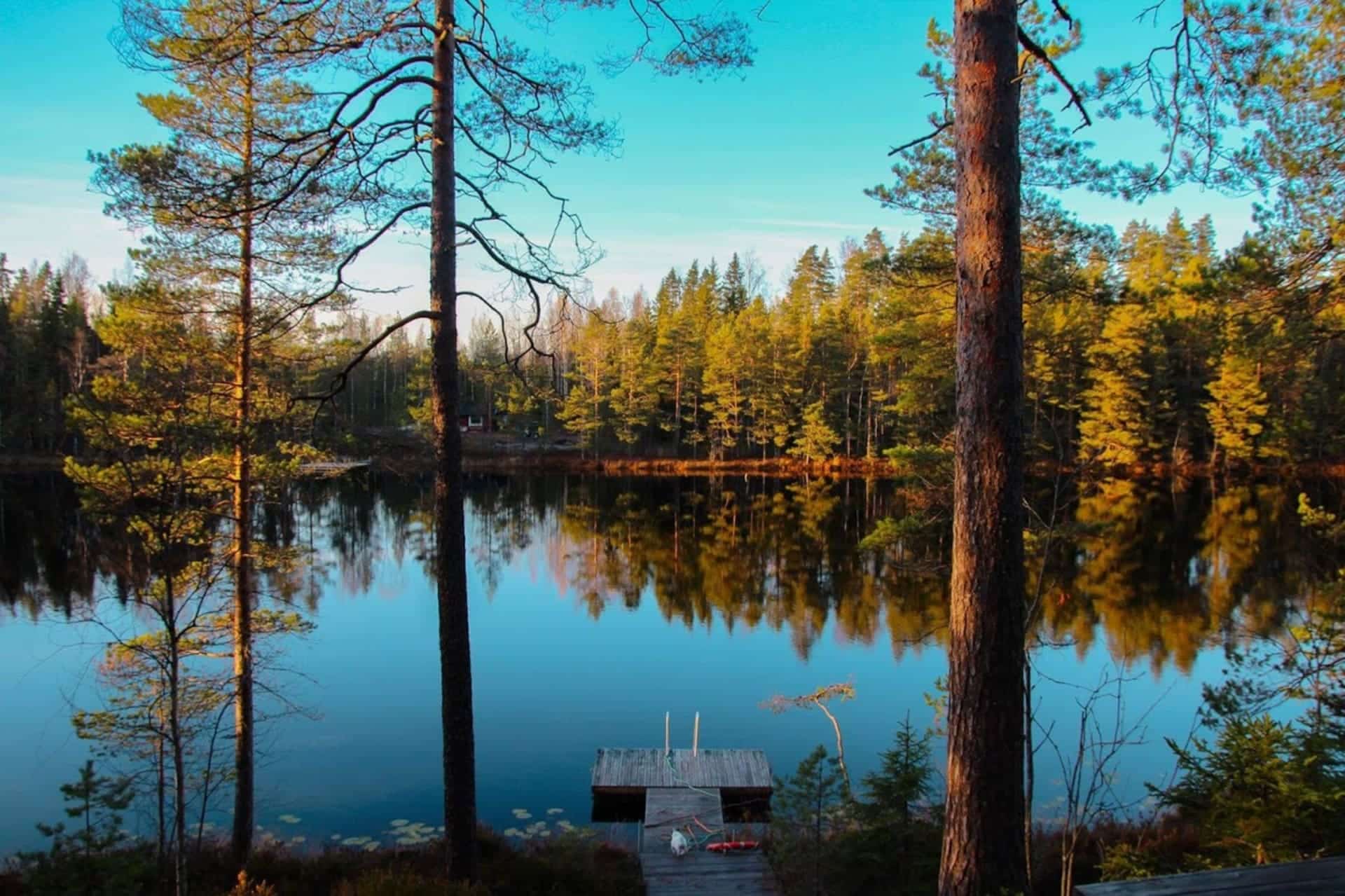
To Liesjärvi National Park (15 km)
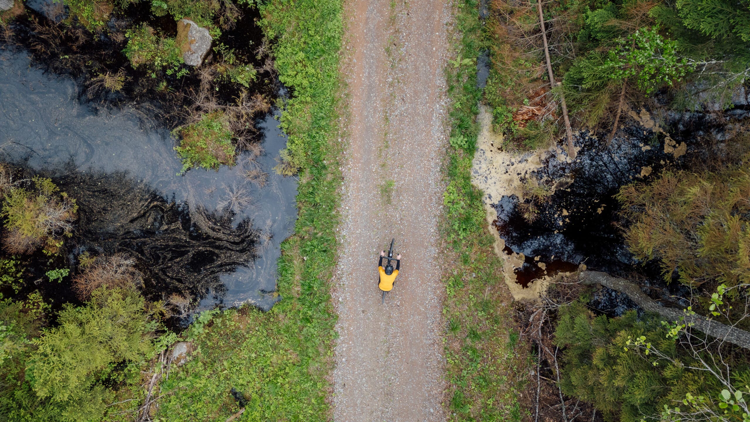
Liesjärvi National Park and Kyynäränharju Ridge
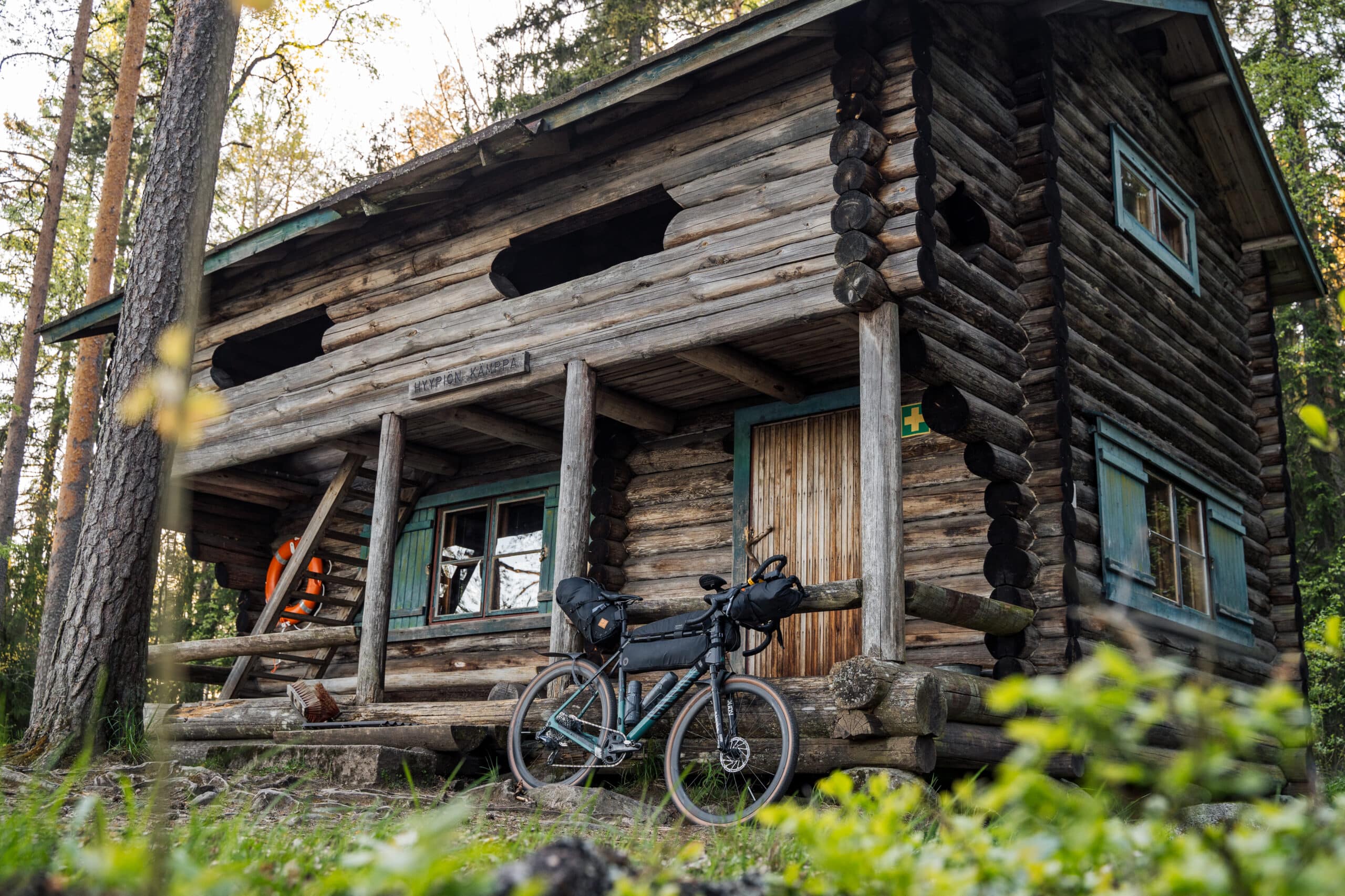
This section passes through Liesjärvi National Park, where cycling is permitted only on marked trails. A smooth road winds past lakes Kaksvetinen and Peukalolammi, offering some of the most stunning scenery along the route—old-growth forests and surrounding mires. You can take a break at the Kaksvetinen hut or the Peukalolammi lean-to, both of which allow overnight stays. Nearby, Eräkeskus Koivu ja Kuusi offers lodging, and Hyypiö and Peukaloinen rental cabins are available with advance booking.
Upon reaching Kyynäränharju Ridge, panoramic views open up over Lake Liesjärvi and Lake Kyynäräjärvi. A slightly technical path runs along the narrow ridge but is rideable at a calm pace with a touring bike. After rainfall, the roots may be slippery.
From Liesjärvi to Jokioinen (45 km)
Korteniemi Heritage Farm and Torronsuo
The route continues to the restored Korteniemi Heritage Farm, where visitors can learn about traditional rural life and enjoy the fire pit. From here, the trail heads toward Torronsuo National Park. It follows an old forest road for a short distance, with a narrow bridge crossing a body of water—a rocky path leads to it, and this section is best walked while pushing the bike. The bridge may be slippery after rain or in early spring.
After this, the route passes through a moose fence via a gate that must be closed afterward. Then follows a brief stretch along Highway 2 before turning left onto Salkolantie, a paved road with a narrow shoulder.
The route continues on a winding gravel village road and rejoins Hämeen Härkätie, passing through the historically significant Letku village. Upon reaching Torronsuo, take a break at Kiljamo rest stop or the Idänpää rock birdwatching tower—both offer amazing views over the vast mire. While the duckboards across the bog offer an unforgettable hiking experience, camping is not allowed within the park.
Jokioinen and Elonkierto
From Torronsuo, the route continues along a straight gravel road and curvy paved local roads toward Jokioinen. Near Murronkulma, a few kilometers before reaching Highway 10, Vanhakurppa offers accommodation, live-action role-playing events, and summer stand-up comedy shows.
In Jokioinen, visit the Elonkierto Rural and Domestic Animal Park, and across from the Parsonage Museum, explore Ferraria’s Hillside Garden, where you can taste different varieties of berries or fruits growing side by side. On Sundays in June and July, and on Saturdays in August, a steam train runs between Jokioinen and Humppila. Bicycles can be taken aboard free of charge, offering a scenic shortcut if desired.
From Jokioinen, the route continues through gentle agricultural landscapes along easy gravel and asphalt roads toward Humppila.
From Jokioinen to Humppila (20 km)
Humppila and Koivistonlammi
Humppila Railway Station is the only station along the route for train arrivals. Nearby, Koivistonlammi Beach offers a chance to swim.
Return to Forssa (28 km)
The route crosses Highway 2 by riding briefly along its edge before turning onto Matkuntie. The beginning of Matkuntie is paved with a narrow shoulder. The route turns toward Kuuma; near the junction is a level crossing, so be cautious and do not cross if a train is near. Always cross railway level crossings with caution. Stop if the barriers are down or warning lights are flashing – this means a train is approaching. Never attempt to cross when the barriers are lowered or lights are flashing. Make sure the tracks are clear before crossing. Walk your bike across if the surface is slippery or uneven.Before crossing the Jänhijoki River, the well-maintained gravel road includes the most significant climbs and descents of the route. From here, the trail follows a smooth village road back toward Forssa.
The final kilometers wind along a scenic riverside cycle path next to the Loimijoki River, leading back to Forssa Bus Station. The beautiful river views make for a pleasant and memorable ending to the journey.
Accommodation Along the Route
-
VillaUlpu
Wilderness Cabin Holiday
Read more VillaUlpu
Villa Ulpu offers accommodation in a beautiful… -
 Sustainable Travel Finland
Urpolan Kartano Log Cabins
Comfortable and nice accommodation in log cabins in a…
Read more Urpolan Kartano Log Cabins -
Portaan Nahkurinverstas Apartments
Portaan Nahkurinverstas’ spacious apartments for 1-6
Read more Portaan Nahkurinverstas Apartments
people are located in… -

Hykkilän Huvilat Lakeside Cottages
Would you like to relax, enjoy fresh air and…
Read more Hykkilän Huvilat Lakeside Cottages -

Villa Lake Kuivajärvi
Villa Lake Kuivajärvi is a holiday cottage with all…
Read more Villa Lake Kuivajärvi -

Levomäki Farm Cottages
Stay in a peaceful rural landscape, surrounded by Ypäjä’s…
Read more Levomäki Farm Cottages -
 Tervetuloa pyöräilijäSustainable Travel Finland
Eerikkilä Villas and Holiday Apartments
The Eerikkilä Sport & Outdoor Resort provides a variety…
Read more Eerikkilä Villas and Holiday Apartments -

Kultakukkura Villas
Cosy and Modern Kultakukkura Villas by the Lake Pyhäjärvi.
Read more Kultakukkura Villas
These…


Explore Other Häme by Cycle Routes
-
 12 km
12 kmTiny Sisu’s Family Tour
Page opens in a new window↗Tiny Sisu's (finnish)Finland’s first family-friendly bike touring route invites young adventurers to explore cultural landscapes and ancient artifacts from Iron Age. Perfect for short and fun rides with children.
-
 35 km
35 kmEvo Green Gold Gravel Loop
Evo Green Gold Gravel LoopRide through one of Southern Finland’s largest continuous forest areas, where old-growth woods, quiet lakes, and untouched wilderness create a true back-to-nature experience.
-
 260 km
East Strider’s Trail
Katso reittiCycle through the heart of Häme, from lively towns to tranquil ridges and farmland shaped by centuries of trade. The East Strider’s Trail is perfect for riders seeking variety, history, and wide-open horizons.
-
 264 km
Hulder’s Journey
Hulder's JourneyRide deep into forest trails, shimmering lakes, and quiet gravel roads that echo Nordic folklore. The Hulder’s Journey is a multi-day adventure where nature’s hidden spirit leads the way.
-
560 km
Viking’s Route
Viking’s RouteA gravel and bikepacking adventure through Häme, where quiet forests, sparkling lakes, and centuries-old trade paths meet peaceful national parks. Ride a mix of gravel, forest roads, and smooth asphalt on a journey that blends historical landscapes and nature into gravel adventures.
The Häme by Cycle routes have been created through the Häme by Cycle – Developing Cycle Tourism in Kanta-Häme project by LAB University of Applied Sciences and the Häme Nature Recreation Association. The project has been funded by the European Agricultural Fund for Rural Development for the 2023–2027 programme period.![]()