 Häme
HämeVähäniemi outdoor trail
Laivarannantie 27-29, Hämeenlinna
Hämeenlinna
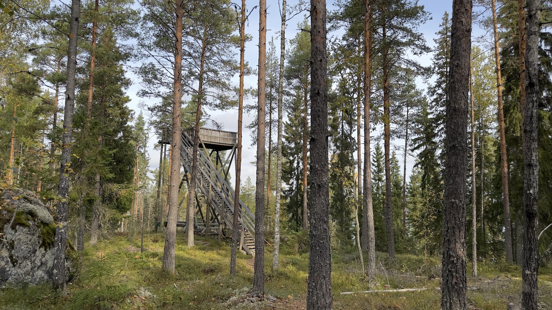
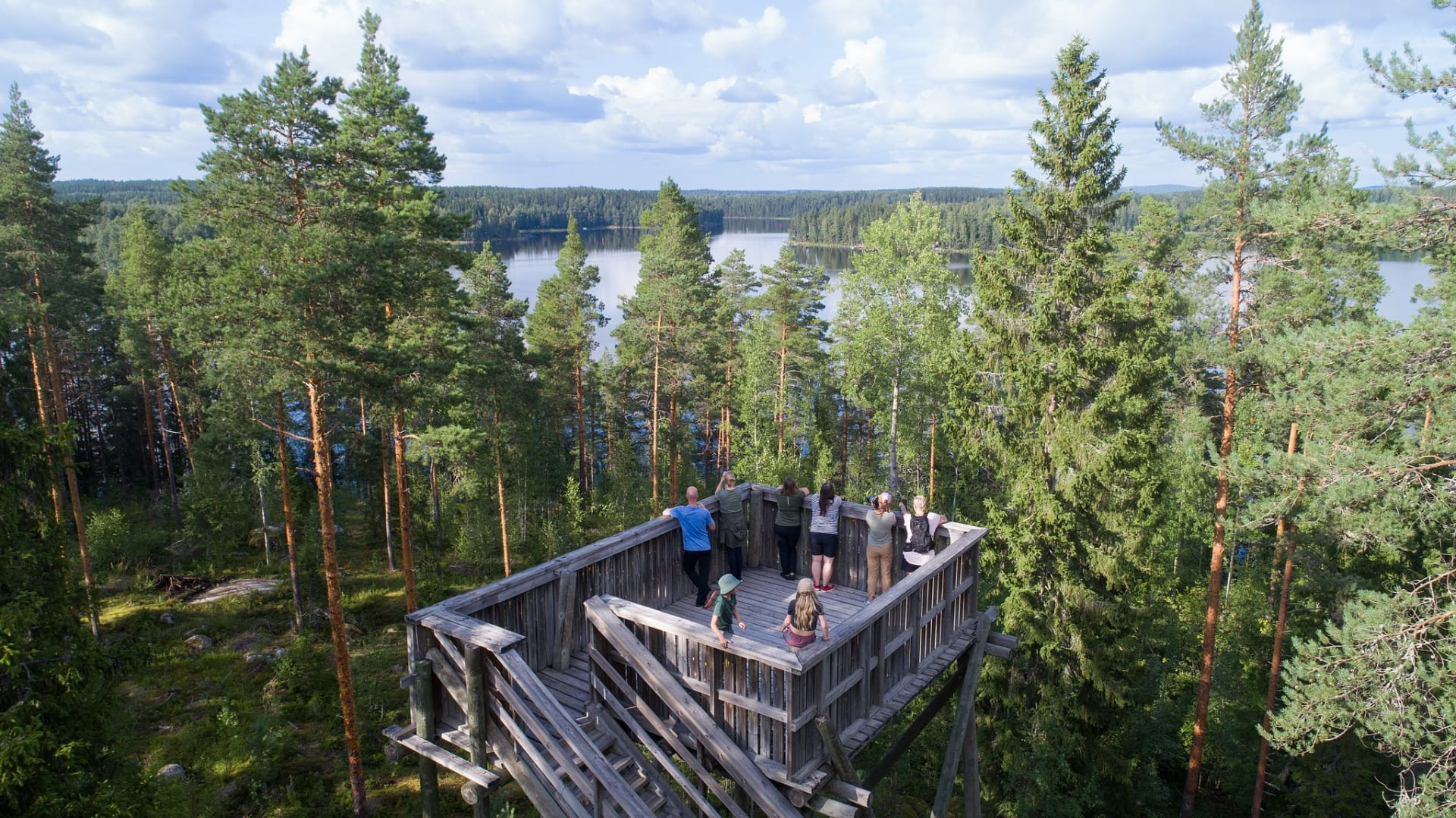
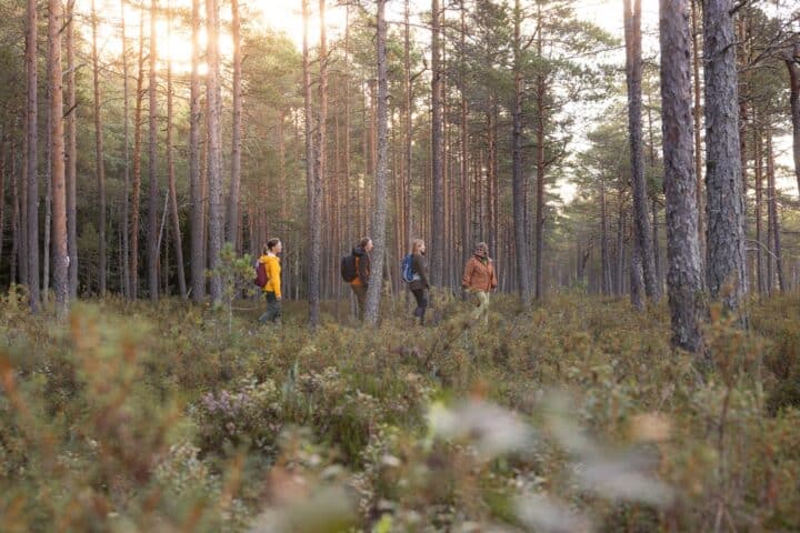
Vähäniemi Trail runs along narrow natural paths in varied terrain. On the way towards the shoreline you walk through green forest and lush hollows. On the way back you encounter dry and rugged pine cliffs. Climb up to the lookout tower to enjoy the Häme lake landscape from the top of the trees.
You are advised to keep your phone’s map app with you, as there are many paths that fork.
Description
Starting point: Vähäniemin parking area, Laivarannantie 27-29, 14930 Hämeenlinna
Walk north from the car park.
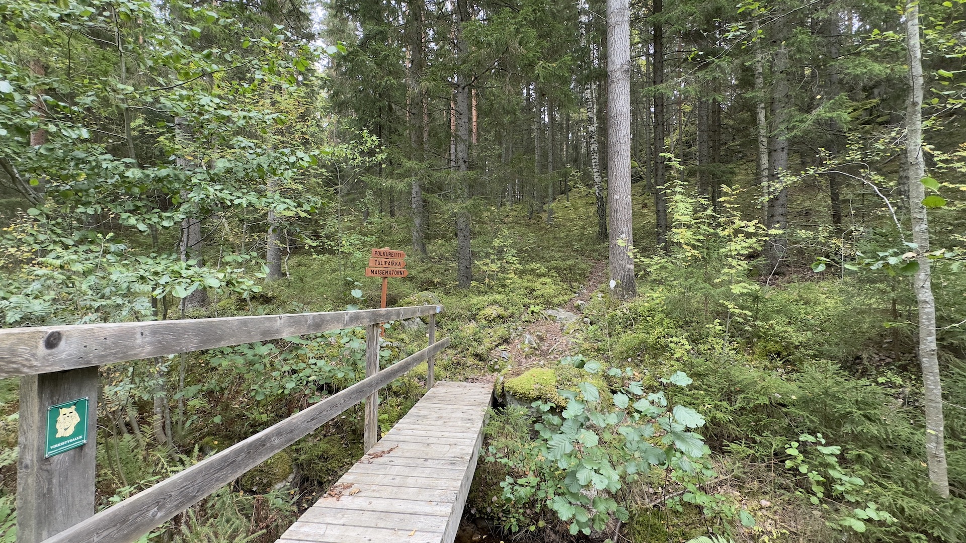
Turn right and cross the bridge with a sign saying “polkureitti ja maisematorni” (trail and lookout tower).
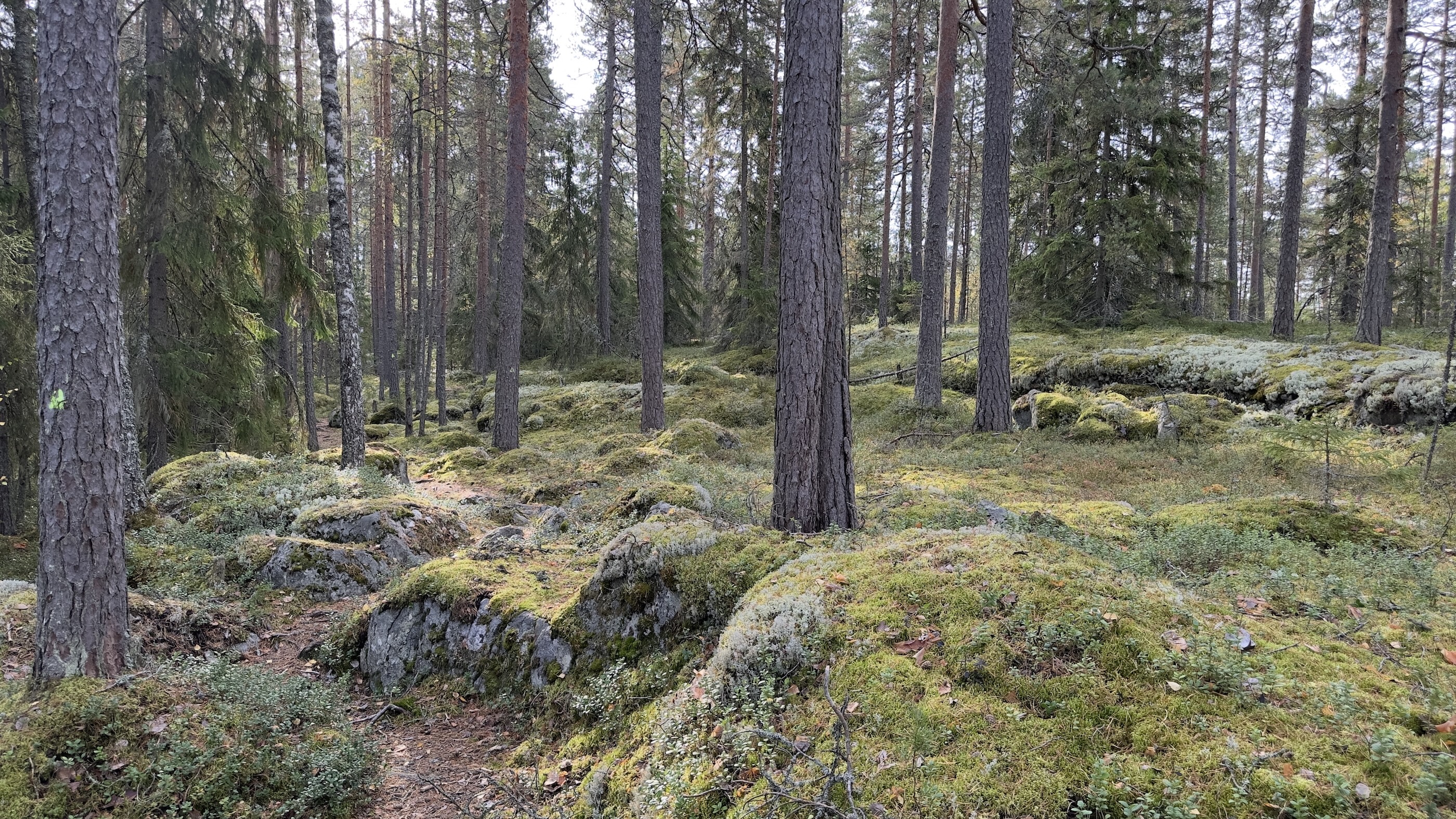
The trail climbs up the hill beside a mossy cliff edge and forks at the top of the cliff. As you continue north towards the lookout tower, the terrain is dry pine forest and lichen-covered cliffs.
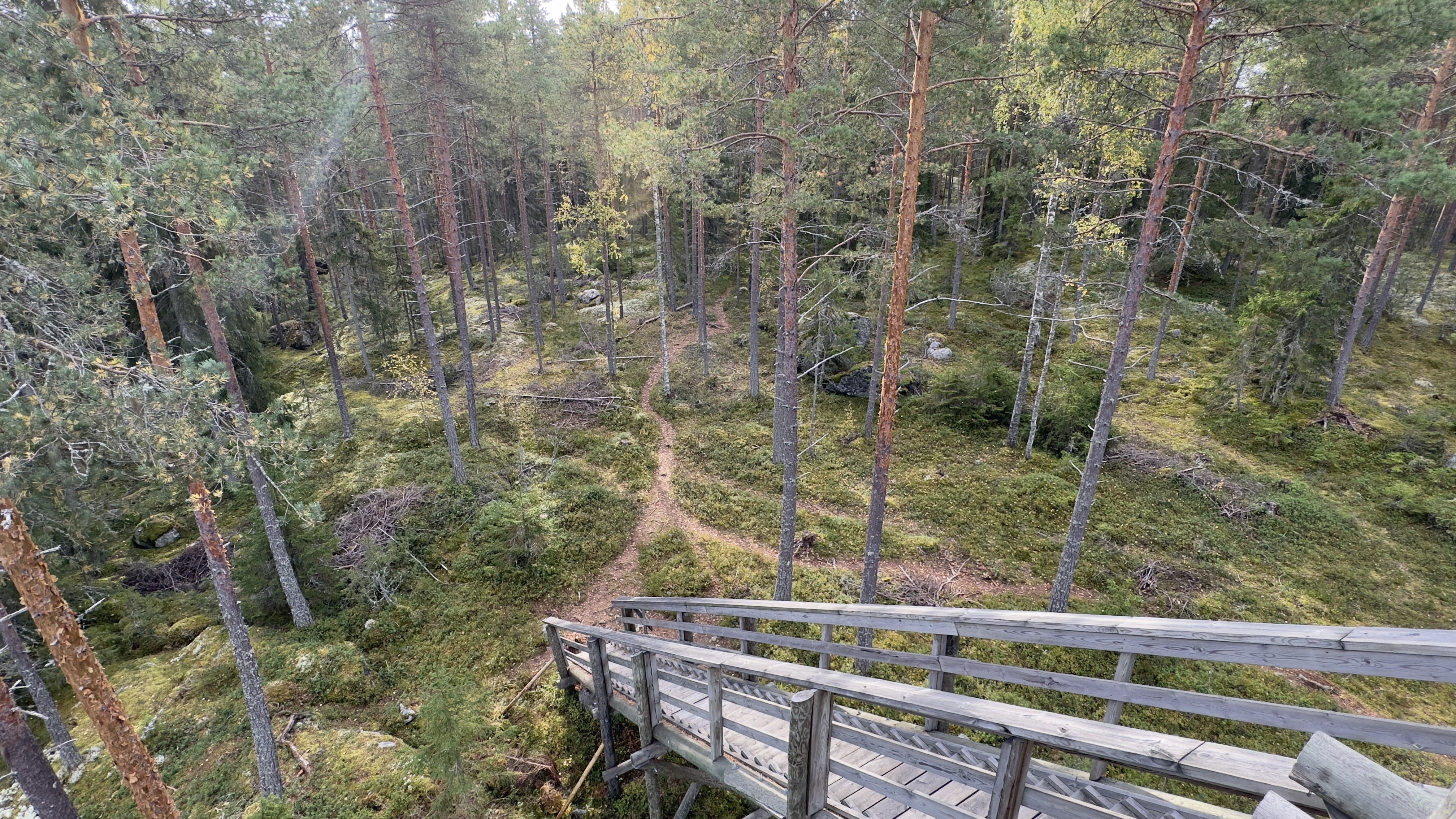
The lookout tower is located on top of the cliff.
There are two different routes from the tower towards the lakeshore and into the forest.
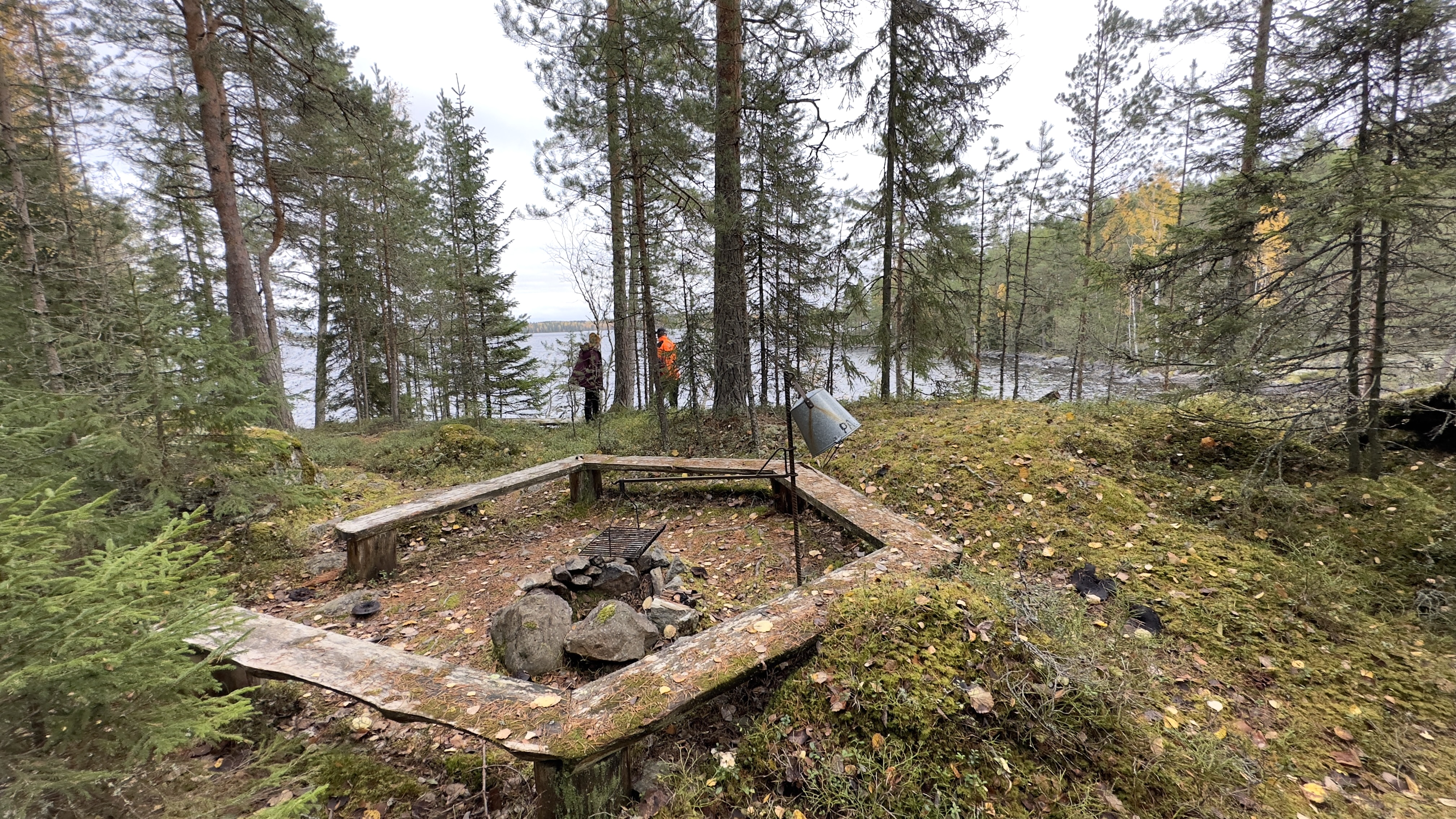
The path to the right (along the shoreline) has a steep hill on the way down from the lookout tower. The narrow path runs along the shoreline to the campfire site.
On the path to the left, the slope is much gentler. Both paths take you down to the lakeshore and the campfire site.
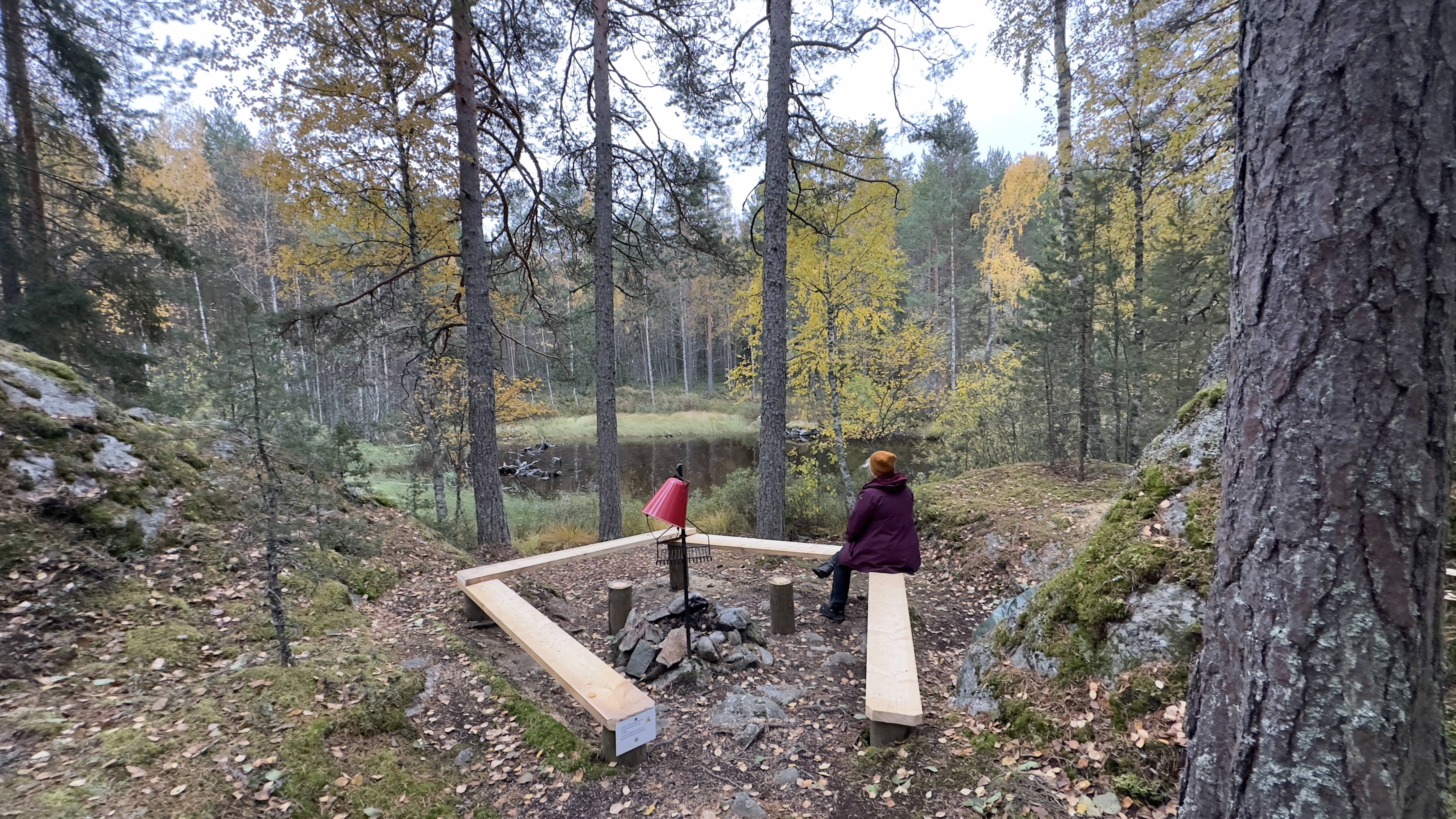
There is a campfire site and a jetty on the lakeshore.
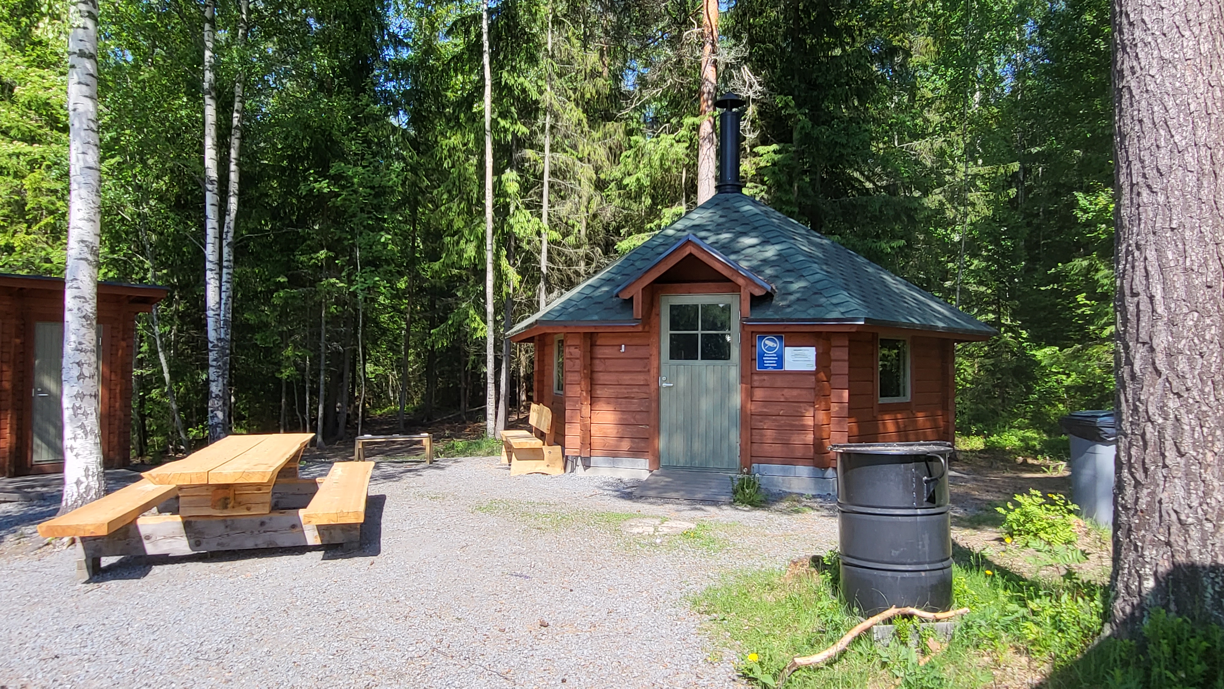
There is a dry toilet and a woodshed near the campfire site. The logs are large, so be prepared to split them before lighting the fire. There is a saw and a splitting tool in the woodshed.
Lighting a campfire while a wildfire warning is in force is prohibited.
Continue towards the parking area via the lookout tower.
The road on the side of the Laivarannanlahti bay forks at the turnoff to the lookout tower. You can continue straight and take the gravel road back to the parking area. The gravel road is easy to follow, but there is a long hill on the way.
The path past the car park goes over a cliff through the woods and arrives at Laivarannantie road. The rest of the way is along the gravel road to the parking area.
Read moreInformation
Route duration
1 - 2 hours
Travel direction
clockwise
Route's length km
2.07
Toilet
Rest places
1
Free access

Nearby services
-
Vähäniemi-Tohkoo Recreational Area
The recreational area of Vähäniemi and Tohkoo is a...
Read more Vähäniemi-Tohkoo Recreational Area -

Härkälinna fort villa
Härkälinna is a truly unique wooden fort built in...
Read more Härkälinna fort villa -

Kärkimökki Villa
Kärkimökki is located in a beautiful scenic headland with...
Read more Kärkimökki Villa -

Crofts: Ukko, Tapio, Vellamo, Aino, Ahti
These cosy and compact 32m2 studio cottages are ideally...
Read more Crofts: Ukko, Tapio, Vellamo, Aino, Ahti -
 Sustainable Travel Finland
Full board farm stay Iloranta
Iloranta, a full board farm stay, has been welcoming...
Read more Full board farm stay Iloranta -

Villa Karhunluola & Villa Oravanpesä
Karhunluola and Oravanpesä are spacious (120 m2) and comfortable...
Read more Villa Karhunluola & Villa Oravanpesä -

Cottage Berries: Mustikka, Puolukka, Lakka, Varpu
Each cottage is well equipped and comfortable choice for...
Read more Cottage Berries: Mustikka, Puolukka, Lakka, Varpu
More nature sites
-
 array(0) {
}
cooking facilities
array(0) {
}
cooking facilitiesHietasalo campfire site IV
Hietasalo , Hämeenlinna
A sheltered campfire site in the embrace of cliffs and the forest.
Read more about the nature activity Hietasalo campfire site IV -
 array(0) {
}
lean-to, goahti (lapp tent shelter) or 'kammi' earth lodge
array(0) {
}
lean-to, goahti (lapp tent shelter) or 'kammi' earth lodgeHaljami hut
Haljamintie , Hattula
Read more about the nature activity Haljami hut -
 array(0) {
}
cooking facilities
array(0) {
}
cooking facilitiesHietasalo campfire site III
Hietasalo , Hämeenlinna
A campfire site on a cliff with a lake view.
Read more about the nature activity Hietasalo campfire site III -
 array(0) {
}
hiking route
array(0) {
}
hiking routeRaimansuo path
Sälilammentie , Janakkala
Read more about the nature activity Raimansuo path