Häme by Cycle: Viking’s Route
560 kilometers of history, nature, and sisu in Häme
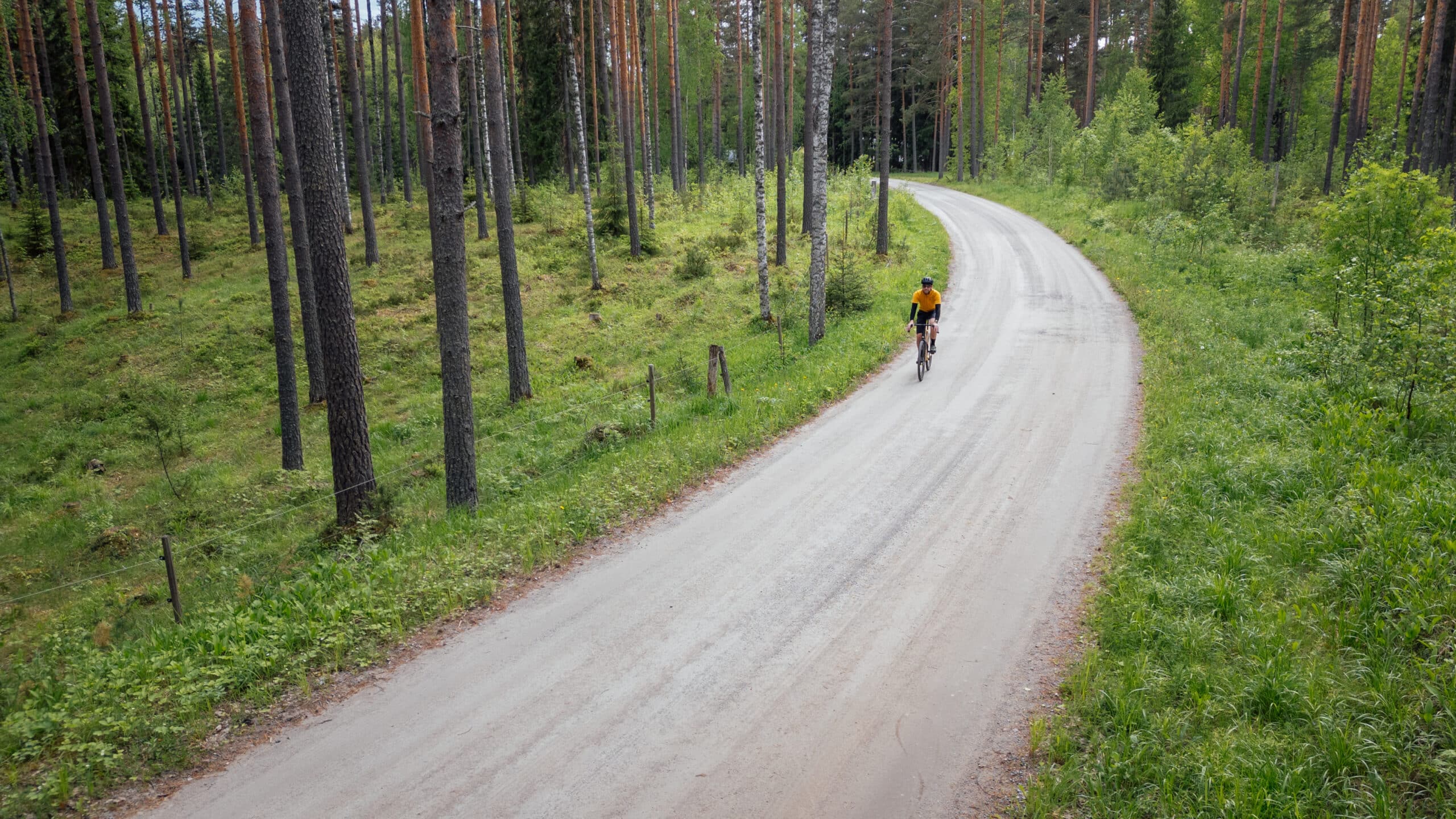
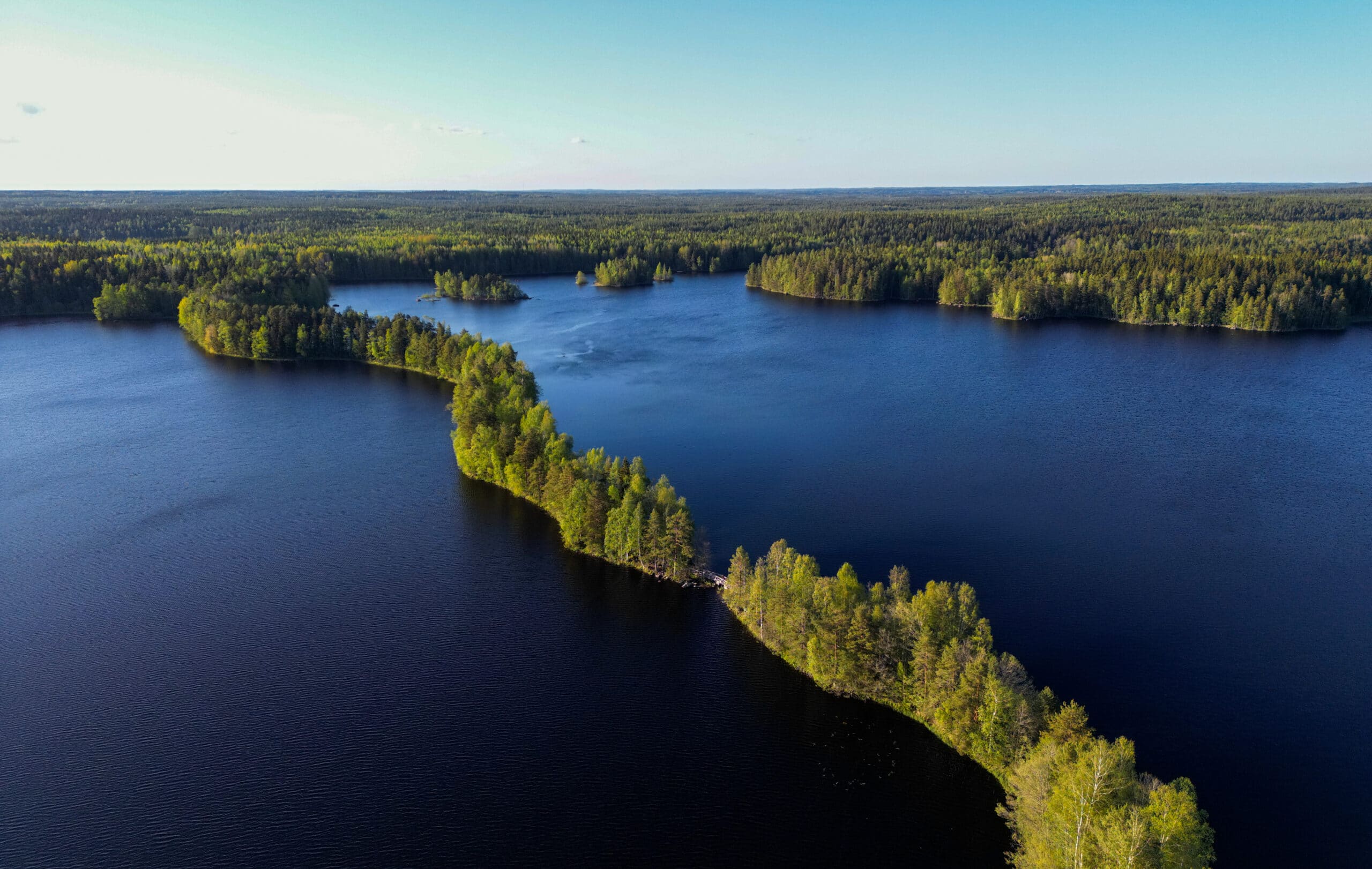
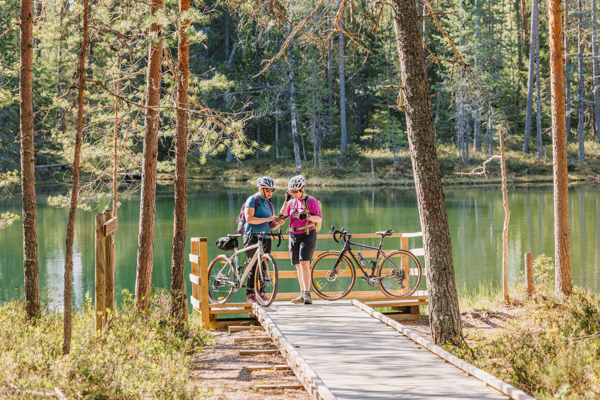
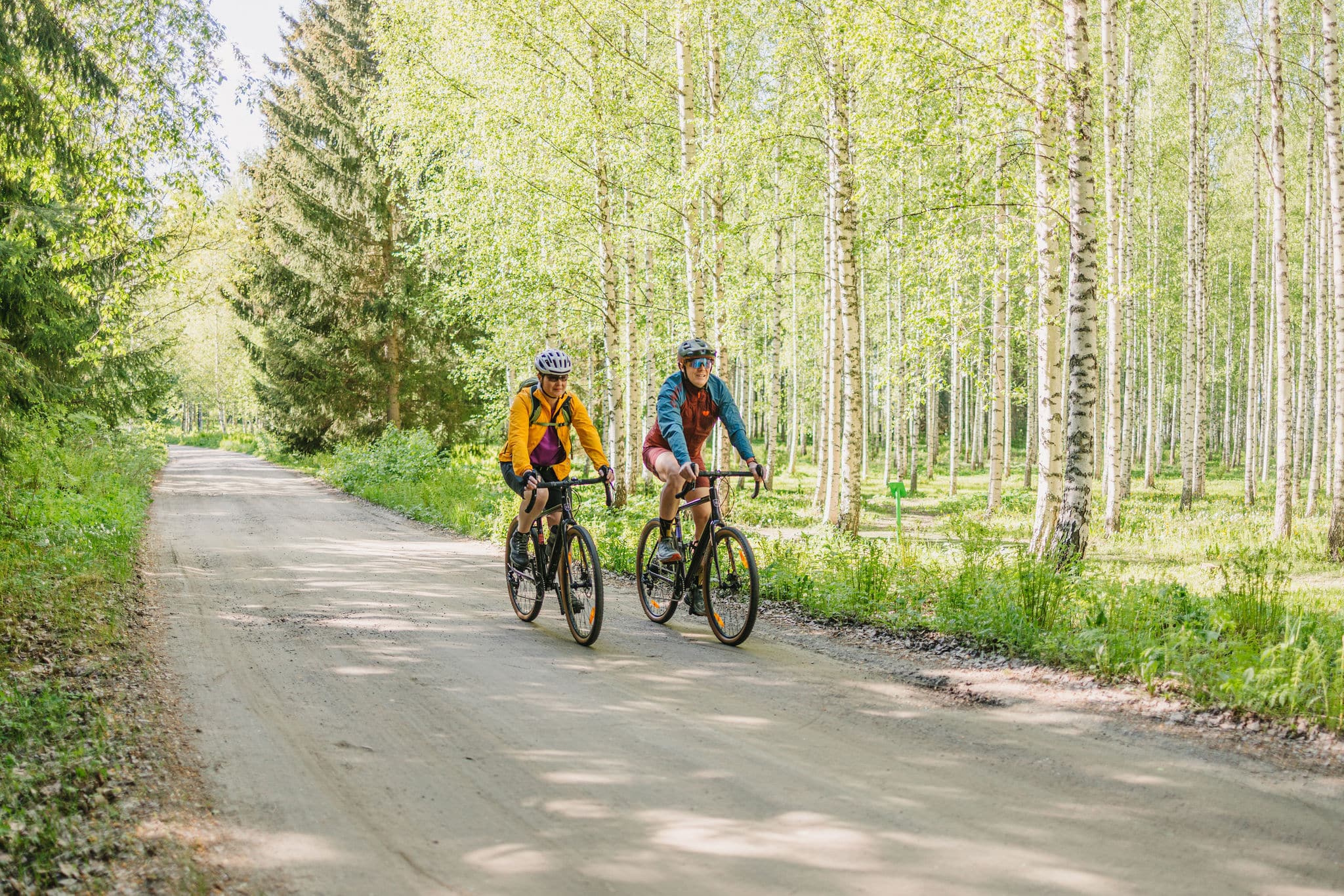
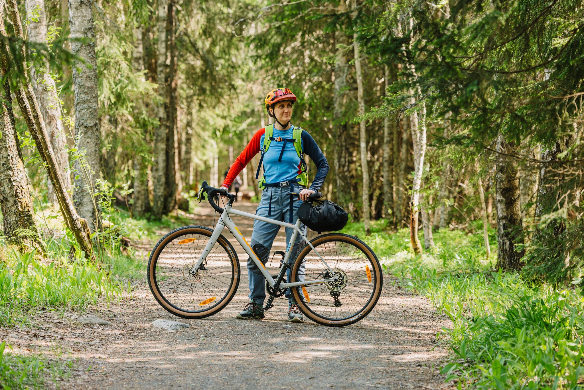
The Viking’s Route is the backbone of the Häme by Cycle network – a 560 km gravel and bikepacking adventure. A journey where you’ll encounter the silence of deep forests, the sparkle of countless lakes, and centuries-old roads once traveled by merchants and storytellers long before us.
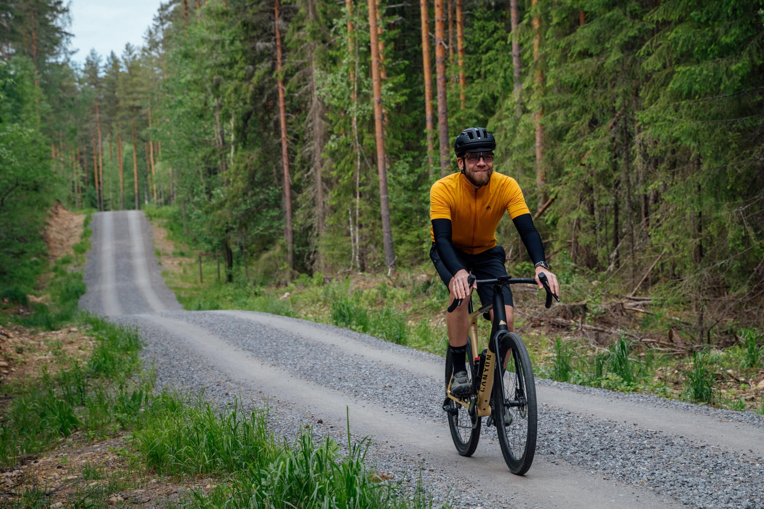
The route stretches widely across Häme, from ancient Iron Age trade paths to the tranquility of national parks. Along the way, you’ll ride relaxed gravel roads, easy trail sections, and smooth asphalt surfaces. Expect both long, peaceful transitions and pulse-raising climbs.
Best suited for gravel bikes, the loop takes you on a mix of gravel, forest roads, and occasional paved connections.
Length
562 km
Duration
5-8 days
Total ascent
4505 m
HIghest point
165 m
Unpaved
68 %
Singletrack
1,6 %
Difficulty (1-6)
2-3
Rideable
100 %
Experience Häme’s diverse landscapes on one trail
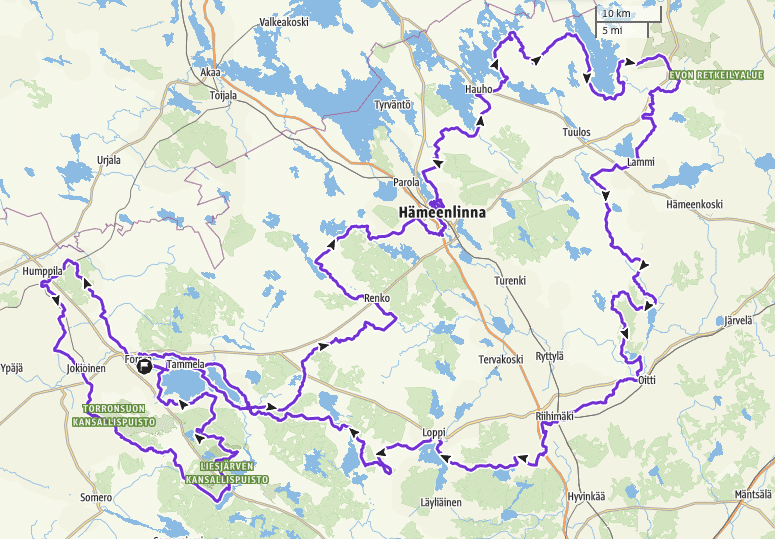
The Viking Loop is divided into three shorter adventure loops: East Strider’s Trail, Tapio’s Gravel Path, and Ukko’s Trail. You’ll find these routes listed at the bottom of this page.
Gravel bikes are the best fit, and riders should be prepared for a variety of surfaces – gravel, forest tracks, and sporadic paved stretches.
Sisu and the spirit of adventure will be rewarded
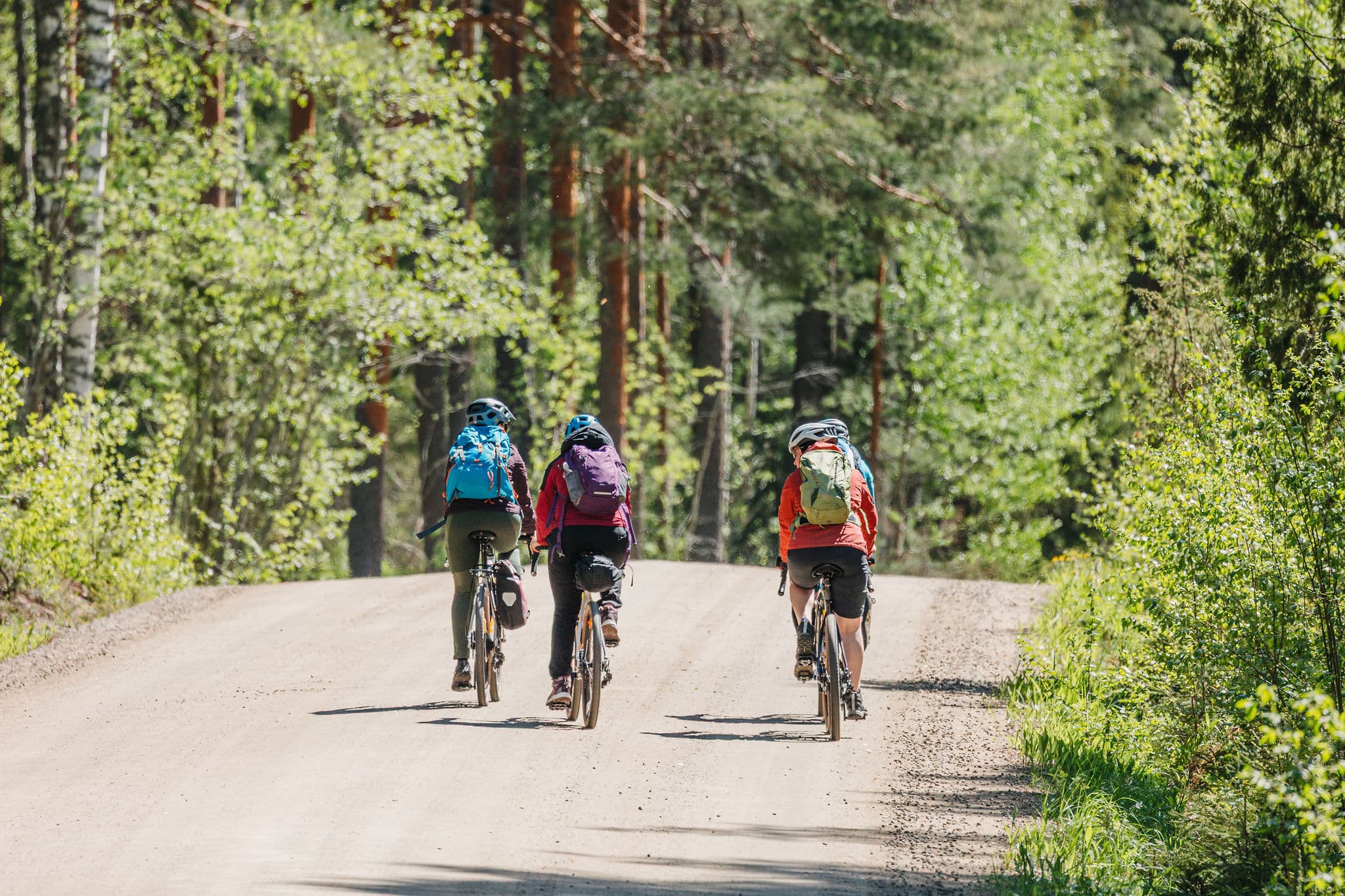
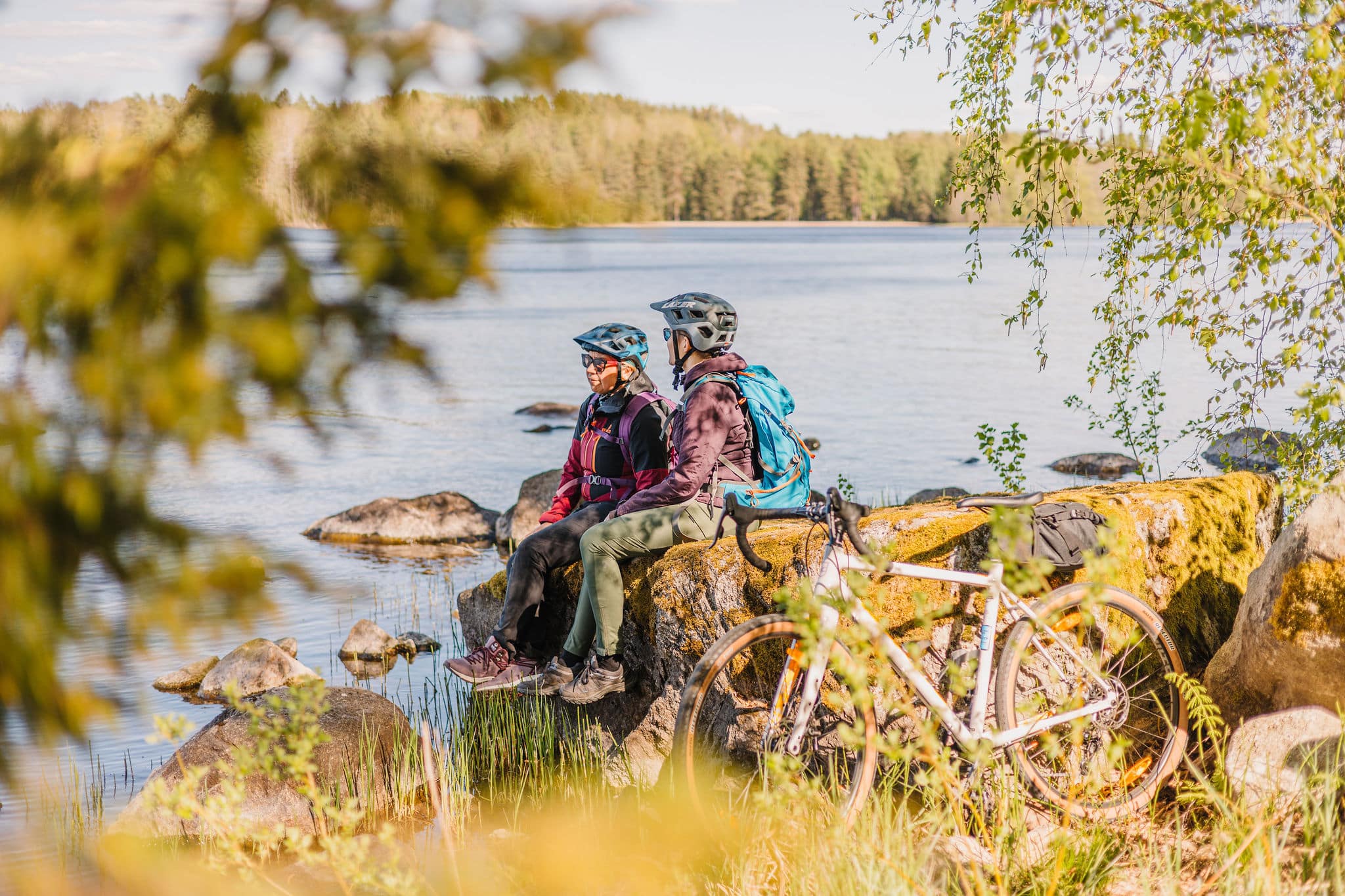
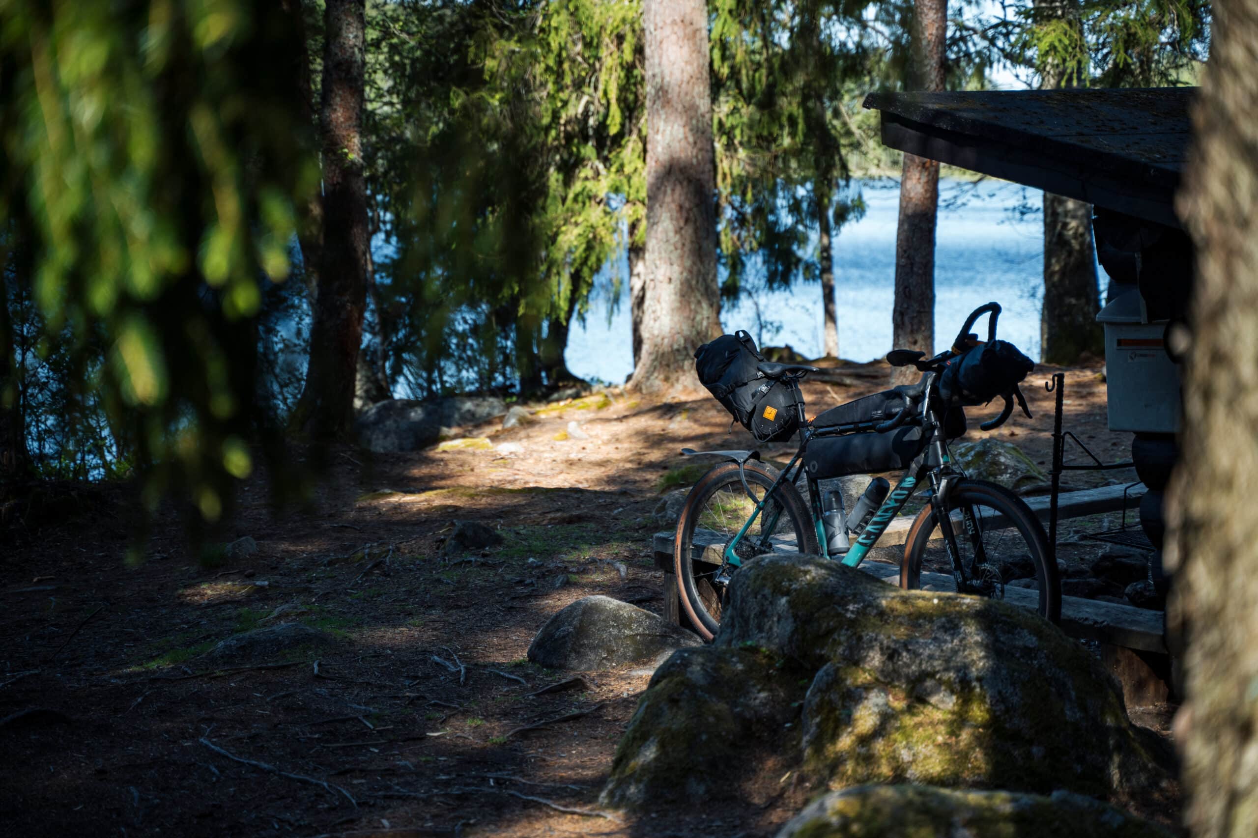
The Viking’s Route is best enjoyed in stages – start anywhere and return when time and energy allow. While grit (sisu) will be your companion, the route is supported by service points, accommodation, and local cafés offering food, rest, and energy for the road ahead.
Plan your stages carefully: the route breaks naturally into day rides. Overnight stays are best combined between nature sites and inns or hotels. Food and water are easiest to replenish near towns and villages, but be prepared for long stretches without services.
Make sure your bike is well-maintained, as the varied surfaces require reliable gear. Pack for all weather – Häme’s conditions can change quickly, whatever the season. And most importantly: take breaks, breathe deep, and enjoy the ride – you are in Häme.
Route information
The Route is ideal for experienced, adventure-seeking gravel and touring cyclists looking for a multi-day bikepacking journey. Using the train stations along the route, it’s also accessible in shorter sections for less experienced riders.
Along the way, you can choose to sleep under the stars at a lean-to or rest comfortably in a guesthouse or hotel. Services and rest stops are spaced perfectly to pace your journey and offer moments of relaxation.
A gravel or mountain bike is recommended.
A detailed route description can be found at the bottom of this page.
Highlights
- Quiet nature sites along the route
- Several medieval churches worth visiting
- Remote gravel roads where you might be the only one riding
- Cultural and national landscapes
- Rest stops both in nature and near services
- Two national parks and the Evo hiking area
- Historical cultural landscapes scattered along the trail
- Hämeen Härkätie – one of Finland’s best-known medieval roads
- Forests, ridges, and countless lakes
- A route with varied scenery and terrain
Good to know
- The route is rideable in three seasons: spring, summer, and autumn. It is at its best from May to September.
- Any well-maintained touring, gravel, or mountain bike is suitable for the route.
Tires should be at least 40 mm wide and puncture-protected. - Always stay on the marked route and try to use only the recommended campsites and rest stops mentioned in the route description.
- Respect the fragile nature and rural surroundings — never leave litter behind. On rural roads, show respect for agricultural machinery by waiting for them to clear the way.
- Also follow the Outdoor Etiquette and the Mountain Biking Etiquette
- There are several points of interest along the route that are best explored on foot. Be sure to bring walking shoes and a lock to secure your bike when visiting these sites.
- Bike-mounted bags instead of a backpack will make your ride more comfortable
- There are fire pits along the route, but firewood supply may vary. It’s a good idea to carry your own camping stove.
- Fires are only allowed in designated places, and open fires are strictly prohibited during a forest fire warning. Check the Finnish Meteorological Institute’s website for current warnings.
- The route is guided only by digital navigation. Visit bikeland.fi for navigation tips and instructions for a successful trip.
- Mobile network coverage is available throughout the route area. In case of emergency, you can always call 112 or use the 112 app.
- The route crosses busy roads (Highway 2 and Main Roads 54 and 53) as well as a railway level crossing — please use extra caution at these points.
- The route runs not only on public roads but also on private roads maintained by local road associations. If you encounter poorly maintained sections, please inform us at info@hvay.fi so we can update the route condition information.
Accommodation
- Along the route, you will find guesthouses, rental cottages, farm stays, as well as lean-tos and huts. Accommodation options range from budget to premium, with generally excellent value for money. It is recommended to book in advance and confirm the possibility of storing your bike.
- Camping is permitted free of charge at designated sites unless you are staying at a serviced campsite or at a tent site connected to an accommodation provider.
- Please follow the Outdoor Etiquette and respect the rules of different parks and recreational areas.
- Most campfire sites are equipped with firewood and a dry toilet, but firewood may occasionally run out. Carrying a camping stove is therefore recommended.
- Check the camping sites and their regulations from Luontoon.fi.
Food & drink
- Restaurants, cafés, and shops can be found in towns and villages along the route or nearby.
In rural areas, opening hours may vary by season, so it is advisable to plan ahead and check up-to-date information before your trip. - Most restaurants, cafés, kiosks, and shops along the route are willing to refill your water bottles. However, it is recommended to carry food and drinks for at least one day. When planning overnight stays or cycling on hot summer days, water needs increase – we recommend having a capacity of at least three litres to reduce the risk of running out, especially on quieter stretches of the trail.
- At lean-tos and campfire sites, always check the current wildfire warnings. Lighting open fires is prohibited during wildfire warnings, including at most designated campfire sites. Up-to-date information is available from the Finnish Meteorological Institute.
- If you plan to camp, note that recommended camping sites usually do not provide drinking water. Carry water with you from the previous refill point. Natural water sources such as lakes must always be purified before use – either by boiling or with purification equipment.
- Grocery stores can be found in Riihimäki, Loppi, Tammela, Forssa, Jokioinen, Humppila, Renko, Hämeenlinna, Hauho, Lammi and Oitti.
Difficulty
The route consists mainly of technically easy gravel roads and comparable forest roads. Its length and location require at least two nights of self-supported accommodation. In towns and villages, the trail mostly follows paved roads, with only a small number of easy singletrack sections. Climbs are typically short in southern Finland.
The recommended minimum tyre width is 40 mm, although experienced riders may manage with narrower tyres. The route can be ridden in both directions without significantly affecting the length of riding days.
⚠️ Be cautious at road crossings and note that many village roads have narrow shoulders.
Major road crossings along the route:
- The trail crosses busy roads such as Highway 10 and Regional Roads 54 and 130, where extra care is required.
- At Luutasuo in Loppi, fine sand may cause narrow tyres to sink depending on the season.
- In Forssa, parts of Syrjäharju in Tammela include more technical singletrack with small rocky patches.
- At Uudensillanmäki in Tammela, a stony path and steep climb may require pushing the bike.
- After Korteniemi in Liesjärvi, you cross Highway 2 and ride along the roadside for about 100 m.
- From Jokioinen towards Torronsuo, you cross Highway 10 using a pedestrian crossing. This section is flat, with good visibility in both directions.
- From Humppila to Matkuntie, you cross the busy Highway 2.
- On the way from Matkuntie towards Kuuma, there is a level railway crossing. Take extra care and never cross when a train is approaching.
- On the ascent to Ahvenisto Ridge and at a few points along the ridge, you will encounter short technical sections.
- Vanajavesi shoreline to Hämeenlinna: This section is used by many other trail users year-round. From Aulanko, you can see the railway bridge. At the bridge, the shoreline trail becomes soft, and the opposite side of the road often has loose gravel on asphalt.
- Aulanko Observation Tower: The climb is tough if coming from Evo. The trail is steep and technical in places, with water ruts caused by rain.
- Main Road 53 (Kantatie 53): Crossed at Evo; ride along the road shoulder for 200 m. At Iso-Evo, ride along the road shoulder for 900 m. Terrain is flat, and visibility is good, but the shoulder is narrow.
- Highway 12 (Valtatie 12): Crossed near Lammi; road shoulder ride is 1 km. Terrain is flat with good visibility, but traffic is busy.
- Main Road 54 (Kantatie 54): Crossed at Oitti; ride 100 m along the road shoulder. The same road is crossed again in Riihimäki at Kuulojantie. Both crossings are flat with good visibility.
- Between Mallinkaistenjärvi and Lammi, there are a few longer, well-maintained gravel climbs. Speeds can increase significantly on the downhill sections.
- Camping note: If staying at Mallinkaisten Recreation Area, be prepared for technically demanding trails where your bike may need to be pushed on foot.
- When arriving in Riihimäki from Hämeenlinna, be especially mindful of heavy traffic after crossing Road 54 and stay strictly on the marked trail.
The trail is rated 2–3 in difficulty. You can find the full difficulty classification table at Bikeland.fi.
Arrival
Excellent public transport connections make the route easily accessible for cyclists from all over Finland. There are up to six railway stations along the trail.
By Train
With 7 railway stations along the route, it’s easy to start your ride or cycle just a section of the trail. You can hop on the route from any station. Most long-distance trains stop at Hämeenlinna and Riihimäki. Local trains on the Lahti–Riihimäki line stop at Hikiä and Oitti, while local trains on the Helsinki–Tampere line stop at Turenki and Ryttylä. Humppila railway station is located on the north-west part of the route. VR trains stop here on the Turku–Toijala–Tampere line.
Train stations on the route: Riihimäki, Hämeenlinna, Turenki, Ryttylä, Hikiä, Oitti, Humppila.
Bikes travel free of charge on local trains without a reservation. On long-distance trains, bike transport requires a paid reservation. Always book in advance if bringing your bike on a long-distance train, especially in summer or on weekends when places can sell out quickly.
By Bus
You can easily start or finish your cycling trip in Hämeenlinna, Riihimäki, or Forssa, all of which have bus connections from further afield. Direct express buses run to Hämeenlinna and Riihimäki from Helsinki, Tampere, and Lahti, making the route accessible without a car. Forssa also has direct bus connections from Helsinki and other cities in Southern Finland, making the route easy to reach without a car.
By Car
The route can be joined from multiple access points – always check local parking rules in advance. Suitable starting points include towns and villages along the way.
Parking areas, including those for long-term parking, are available in towns and villages, often near railway stations. Camper van parking areas (matkaparkki) can also be found along the trail.
Accommodation along the route
On Viking’s route, Finnish sisu will carry you forward through long stretches and rolling hills – but at the end of the day, it feels just as good to rest under soft sheets. Along the route you’ll find cosy cottages, traditional guesthouses, and comfortable hotels where you can recharge for the next stage of your journey.
-

Hykkilän Huvilat Lakeside Cottages
Would you like to relax, enjoy fresh air and…
Read more Hykkilän Huvilat Lakeside Cottages -

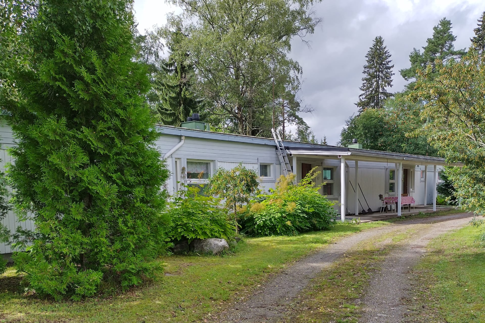
Lakeside Cottage Villa Hahkiala
Villa Hahkiala is a quality lakeside cottage surrounded by…
Read more Lakeside Cottage Villa Hahkiala -

Travel Park at Evo
Travel park located at Evo in Hämeenlinna, Niemisjärvi. You…
Read more Travel Park at Evo -
Kiipula Guest House
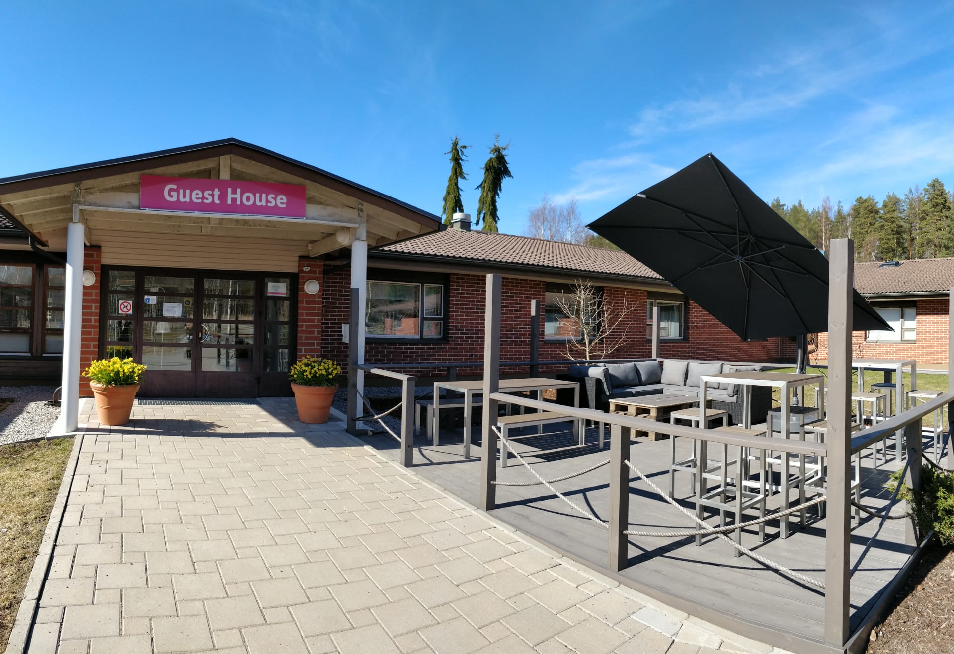
We offer diverse and accessible accommodation options for private…
Read more Kiipula Guest House -

Evo Syväjärvi
Rent the 6-hectare atmospheric lake Syväjärvi (“The Deep Lake”)…
Read more Evo Syväjärvi -
Saarnimaja Inn
Saarnimaja inn is located 45km from Hämeenlinna city centre….
Read more Saarnimaja Inn -

Evo Wilderness Villa
Multifunctional Evo Wilderness Villa is the only property in…
Read more Evo Wilderness Villa -

B & B Matin ja Maijan Majatalo
In our hospitable bed and breakfast, You will be…
Read more B & B Matin ja Maijan Majatalo -
 Sustainable Travel Finland
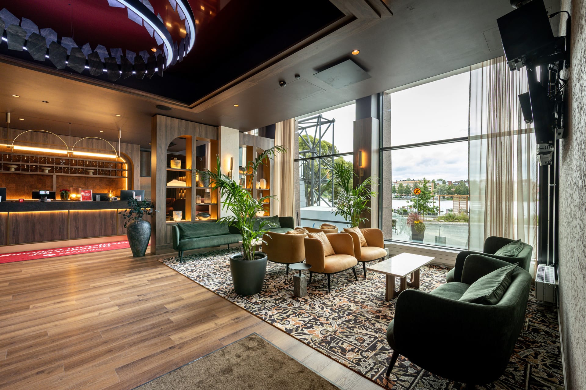
Original Sokos Hotel Vaakuna, Hämeenlinna
Original Sokos Hotel Vaakuna, Hämeenlinna – The happiest lake…
Read more Original Sokos Hotel Vaakuna, Hämeenlinna
Explore the Viking Loop in Shorter Circuits
-
 260 km
East Strider’s Trail
Page opens in a new window↗East Strider's TrailCycle through the heart of Häme, from lively towns to tranquil ridges and farmland shaped by centuries of trade. The East Strider’s Trail is perfect for riders seeking variety, history, and wide-open horizons.
-
 265 km
Hulder’s Journey
Page opens in a new window↗Hulder’s JourneyRide deep into forest trails, shimmering lakes, and quiet gravel roads that echo Nordic folklore. The Hulder’s Journey is a multi-day adventure where nature’s hidden spirit leads the way.
-
 140 km
Odin’s Journey
Page opens in a new window↗Katso reittiExplore the countryside along historic trade routes, with gentle climbs, fields, and forests. Sustainable travel meets history through Torronsuo and Liesjärvi National Parks.
Route description
From Riihimäki to Räyskälä – 67 km
Starting point: Riihimäki Railway Station
The route conveniently begins at Riihimäki Railway Station, which has excellent train connections. Before setting off, Riihimäki’s services provide a chance to stock up on snacks and last-minute bike supplies.
The first kilometres follow well-maintained cycle paths through the town. After about 3 km, it is worth stopping at Hyttikortteli, known for Riihimäki’s glass industry history. Its preserved architecture and atmosphere offer a glimpse into the past and a meaningful start to the journey.
A short ride away are two major cultural attractions: the Finnish Hunting Museum, presenting Finland’s hunting heritage, and the Finnish Glass Museum, showcasing the world-renowned art of Finnish glassmakers.
The route changes to winding gravel roads, leading towards Paalijärvi. Its beach and lean-to shelter make for a perfect break. Just 2 km further lies Hirvijärvi, another fine swimming spot with lakeside relaxation and even a rentable sauna.
The journey continues along good-quality gravel roads, with some short but steep climbs, before reaching Loppijärvi and Vanhankoski Mill & Power Plant Museum. After 35 km, the route arrives at Loppi village, where shops and restaurants allow you to replenish supplies and enjoy a meal. Note: the next larger grocery store is 60 km away, so plan ahead.
From Loppi, the route follows Pilpalantie road towards the Komio Nature Reserve. A detour via Pappilanlääni road leads to Luutasuo mire, where the fire pit at Luutalammi Lake makes a peaceful rest stop. From the parking area, several marked trails start: Esteetön Samo (1 km, accessible), Pikku-Samo (3.5 km), and Luutaharjun Samo (6.5 km). Overnight stays are allowed at Komionlampi camping area.
The route winds through pine forests and sandy ridge roads. After Komio, the terrain becomes rollercoaster-like, first along gravelled Eräläntie, then paved Räyskäläntie. Ride carefully here. Before Räyskälä, you can detour 2 km to Marskin Maja, Marshal Mannerheim’s historic lodge, with a summer café and museum. Along the way, you will also find day-use shelters such as Pilkutin Kota and Sähkönokka. In Räyskälä village (70 km from Riihimäki), the local shop is the last chance to stock up before Tammela. Nearby are the Räyskälä Airfield restaurant and Camping Laakasalo, offering both meals and camping facilities.
Häme Lake Uplands to Saari Folk Park – 21 km
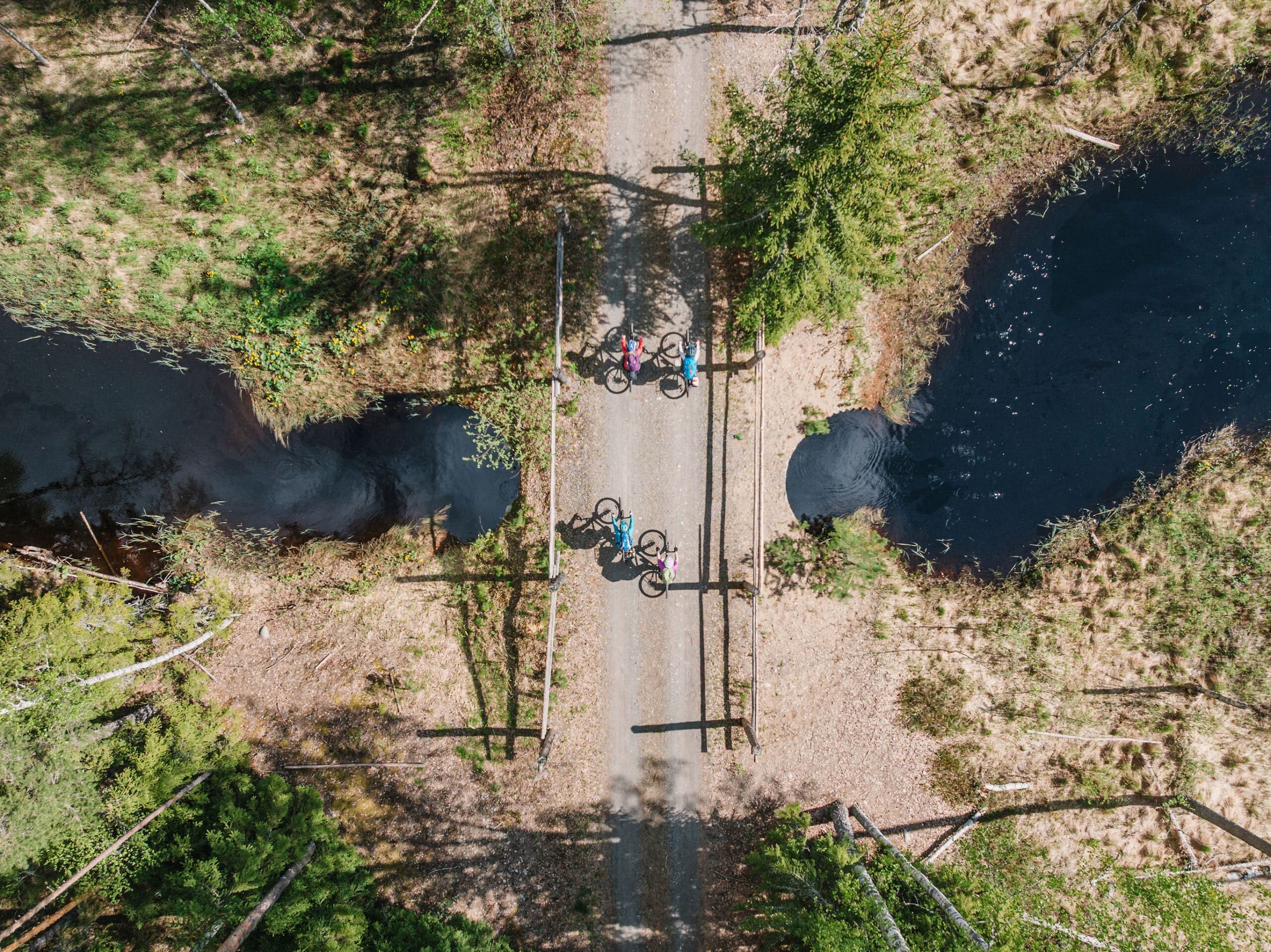
The Räyskälä area marks the gateway to the Häme Lake Upland, a landscape filled with stunning lakes and ridges. The route continues along Tauluntie to Häme Ox Road on asphalt before turning onto gravel towards Lake Saarijärvi. Along the way, you’ll pass the Kaitajärvi lean-to shelter, an excellent spot for a break.
The route follows gravel roads to the historic Hämeen Härkätie (Ox Road of Häme) and arrives at Porras village. Once a key crossroads of Southern Finland, the village hosts Nahkurinverstas café, guesthouse, and a unique leather museum. Soon after, one of the most beautiful sections begins, leading into Saari Folk Park. After 85 km of riding, the lush park with its restaurant, kiosks, beaches, and historic sites makes an ideal rest stop. Overnight stays are only permitted at the Raanpää lean-to with its wooden tents by Kuivajärvi Lake. Additional lodging and dining can be found at Venesilta Camping. Before heading onwards, visit Kaukolanharju lookout tower and the Albert Edelfelt memorial.
A Short Day from Tammela to Forssa – 15 km
Leaving Saari, the route crosses the old Saarensalmi concrete bridge and follows cycle paths towards Tammela. Here, shops and services allow you to restock before the final stretch.
From Tammela, the route continues along the old church road over Syrjänharju ridge. This section includes technical trail riding where short bike pushing may be necessary. The stage ends at Forssa Bus Station, surrounded by cafés, shops, and restaurants – a fitting close to the first part of the route.
From Forssa to Hämeen Härkätie and Pääjärvi Recreation Area – 34 km
The section towards Hämeenlinna follows parts of the historic Hämeen Härkätie (Ox Road of Häme). Stock up in Forssa before leaving, as the next larger shop is over 60 km away.
The route passes Linikkalanlampi swimming beach and then follows small gravel roads towards Mustiala Manor. The manor is a historic landmark with a rural museum. Continuing onwards, the path leads to Pääjärvi Recreation Area. Along the way, Hykkilä Villas provide accommodation. After climbing the steep Uudensillanmäki hill, the route descends to Pääjärvi along paved Hämeen Härkätie. At Pääjärvi, facilities include a swimming area, lean-tos, and camping opportunities – a perfect picnic spot before continuing.
Along Hämeen Härkätie to Hämeenlinna – 65 km
From Pääjärvi, the route follows Hämeen Härkätie for a few kilometres, then turns onto rustic Rauniotie towards Pitkäjärvi Farm. The climb is steep and slippery when wet, but the farm itself makes a scenic stop. Next, Nummenkylä village hall awaits with a café and swimming beach. The route then continues to Renko village, with shops, restaurants, and the Ox Road Museum. Nearby, the Kulttila village kota offers a rentable shelter.
From Renko, the route continues on rolling gravel roads. Services are sparse, so carry enough water and food. The first café after Renko is Jurevita, about 30 km ahead. Closer to Hämeenlinna, the trail rejoins Hämeen Härkätie and climbs Ahvenisto Ridge. This technically challenging stretch rewards you with scenic views and the chance to swim in Ahvenistonjärvi. After short push-bike sections, the trail descends through Punaportti district and along Lake Vanajavesi shoreline to Hämeenlinna Railway Station.
Before finishing, take a detour to Hämeenlinna Market Square or visit Häme Castle, the Prison Museum, and the Military Museum. To unwind, you can swim at Hämeenlinna’s public pool or the lakeside beach. Cyclists are warmly welcomed at Hostel Naurava Kulkuri.
Hämeenlinna — Hauho — Evo (97.9 km)
The route begins at Hämeenlinna railway station, following the lakeside trail along Lake Vanajavesi towards Aulanko. Soon you’ll reach the edges of the Aulanko Nature Reserve. The Aulanko lookout tower, with its sweeping views over Lake Aulangonjärvi, is well worth a visit — but note that the paths and climb can be steep, so take your time. Before continuing, you can enjoy refreshments in the area’s cafés.
From there, the journey heads towards Hauho, where you’ll find good opportunities to restock supplies or enjoy local restaurants. Hauho’s shingle-roofed medieval stone church and historic village street mark the third church site along the route. For an extra detour, you can climb Vuorenharju tower to take in views of the village, the church spire, and Lake Hauhonselkä. The route then continues towards Lake Iso-Roine, where the Vähäniemi–Tohkoo recreational area offers a campfire site, swimming, and a lookout tower with lake views.
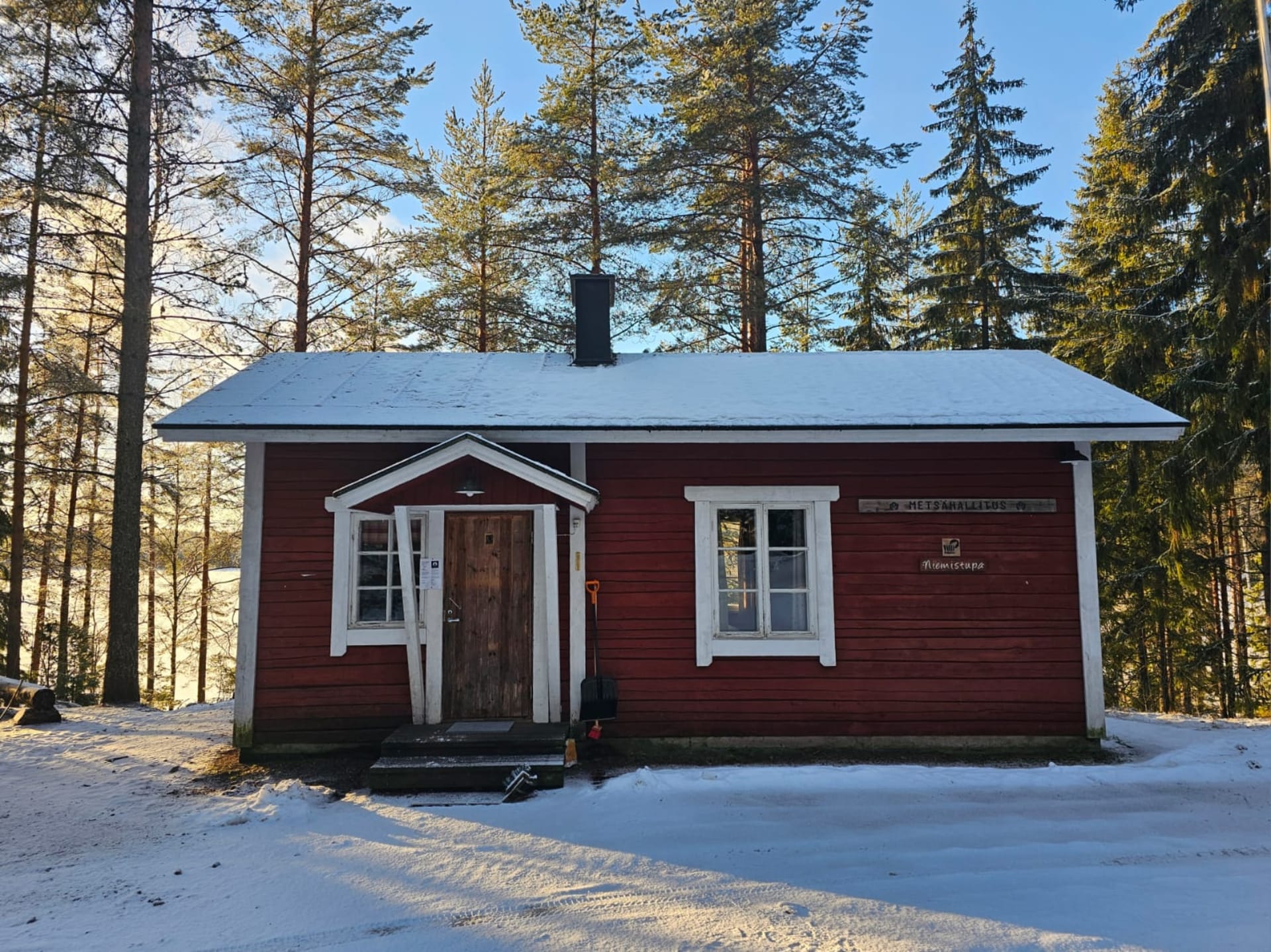
From Kuohijärvi, the trail turns onto gravel roads and cart tracks, leading into the forest landscapes of Evo. The Evo Hiking Area has several lean-tos, campfire sites, and services at the Evo Visitor Centre, making it a good place to pause or stay overnight before the next stage.
Evo — Oitti — Riihimäki (109.7 km)
From the Evo Visitor Centre, the route continues through Iso-Evo village and north towards Lammi. The first stretch is paved, soon changing into gravel and forest tracks. At Niemisjärvi, you’ll find lean-tos and campfire spots — a perfect place for a break. A nearby café may offer light snacks, and opportunities for canoeing or other water activities are also available.
The journey then moves on through the Lammi and Teuronjärvi areas. From Mommila village shop begins one of the longer gravel sections. The climb at Koivukehä and the winding gravel roads that follow test your stamina but reward you with beautiful scenery. On Lake Teuronjärvi’s shore, SFC Tilkunpelto offers a water point, kiosk, and tent sites.
The Mallinkaistenjärvi recreational area has two lean-tos, ideal for a rest or overnight stay. From here, the trail leads to Mommilanjärvi village shop, a popular summer spot with local products and events. Along Löyttymäentie, the route runs through open fields before reaching the Puujoki dam. After crossing Highway 54, the trail shifts to gravel again and offers a detour to Valkjärvi beach.
At Oitti, the route circles the Cherry Park (kirsikkapuisto) with its ponds and continues on a well-maintained gravel path. Oitti also has a railway station, making it a convenient entry or exit point for the route. This is a good place to stock up on food and drinks, as shops can be far apart on the following stretches.
The final leg goes through Hausjärvi church village and Lempivaara before arriving at Riihimäki railway station. Riihimäki’s services provide opportunities for dining, accommodation, or bike maintenance before setting off on the last section.
The Häme by Cycle routes have been created through the Häme by Cycle – Developing Cycle Tourism in Kanta-Häme project by LAB University of Applied Sciences and the Häme Nature Recreation Association. The project has been funded by the European Agricultural Fund for Rural Development for the 2023–2027 programme period.
![]()